Rabbit Wood
Wood, Forest in Sussex Lewes
England
Rabbit Wood
Rabbit Wood, located in Sussex, England, is a picturesque woodland that spans over a vast area. The forest is known for its diverse range of flora and fauna, making it an attractive destination for nature enthusiasts and wildlife lovers.
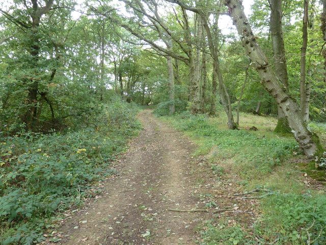
The wood is predominantly composed of deciduous trees, such as oak, beech, and birch, which provide a stunning display of colors during the autumn season. The dense canopy formed by these trees creates a cool and shaded environment, making it a pleasant retreat during the hot summer months.
Rabbit Wood is home to a variety of wildlife species, including rabbits, as the name suggests. These small mammals can often be spotted hopping among the undergrowth. Other commonly seen animals in the wood include squirrels, foxes, and a wide array of bird species, making it a haven for birdwatchers.
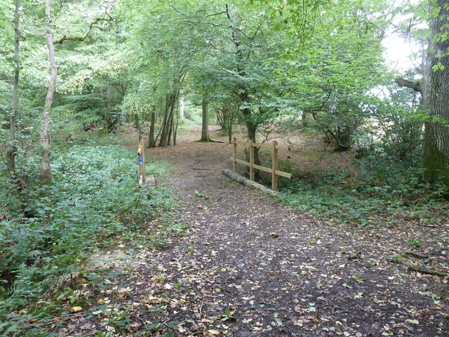
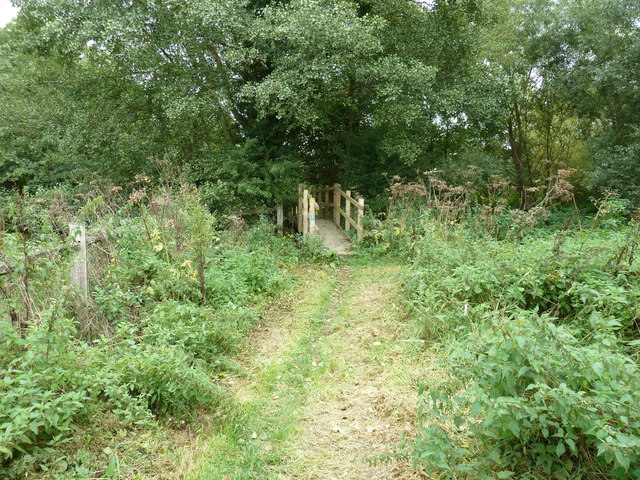
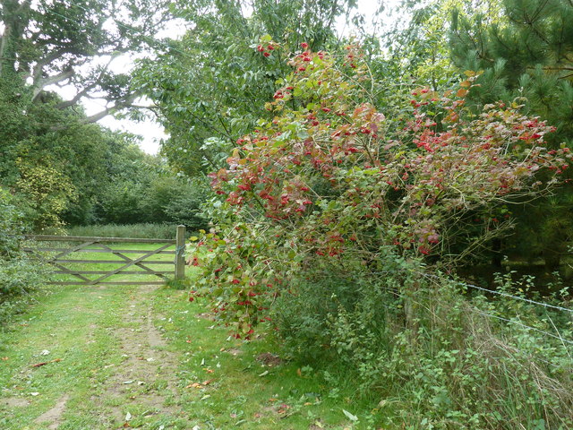
Visitors to Rabbit Wood can explore the numerous walking trails that wind through the forest, allowing them to immerse themselves in the natural beauty and tranquility of the surroundings. The wood is also equipped with picnic areas, providing a perfect spot for families and friends to enjoy a leisurely lunch amidst the peaceful ambiance.
Additionally, Rabbit Wood is a popular location for educational visits and school trips, as it offers an opportunity for children to learn about the importance of preserving natural habitats and the different species that call the wood their home.
Overall, Rabbit Wood in Sussex is a captivating woodland destination that offers a serene and enchanting experience for all who visit.
If you have any feedback on the listing, please let us know in the comments section below.
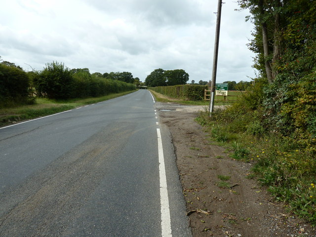
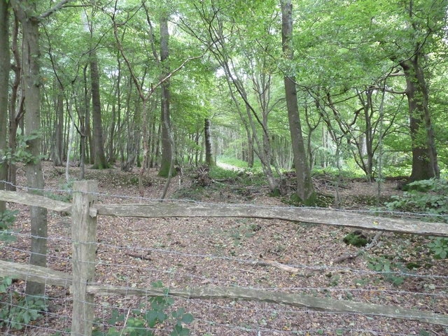
Rabbit Wood Images
Images are sourced within 2km of 50.950699/-0.02392653 or Grid Reference TQ3818. Thanks to Geograph Open Source API. All images are credited.


Rabbit Wood is located at Grid Ref: TQ3818 (Lat: 50.950699, Lng: -0.02392653)
Administrative County: East Sussex
District: Lewes
Police Authority: Sussex
What 3 Words
///winters.adjuster.tiles. Near South Chailey, East Sussex
Nearby Locations
Related Wikis

Chailey Moat
Chailey Moat is a Grade II listed building near the village of Chailey, East Sussex. It is a 16th-century moated two storey house with an 18th-century...

Chailey School
Chailey Secondary School opened in April 1958, is a comprehensive secondary school located in the village of South Chailey, Chailey, just outside Lewes...

Chailey
Chailey is a village and civil parish in the Lewes District of East Sussex, England. It is located 7 miles north of Lewes, on the A272 road from Winchester...

RAF Chailey
RAF Chailey was a Royal Air Force Advanced Landing Ground close to the village of Chailey near Burgess Hill in East Sussex during the Second World War...
Nearby Amenities
Located within 500m of 50.950699,-0.02392653Have you been to Rabbit Wood?
Leave your review of Rabbit Wood below (or comments, questions and feedback).