Chailey, South
Settlement in Sussex Lewes
England
Chailey, South
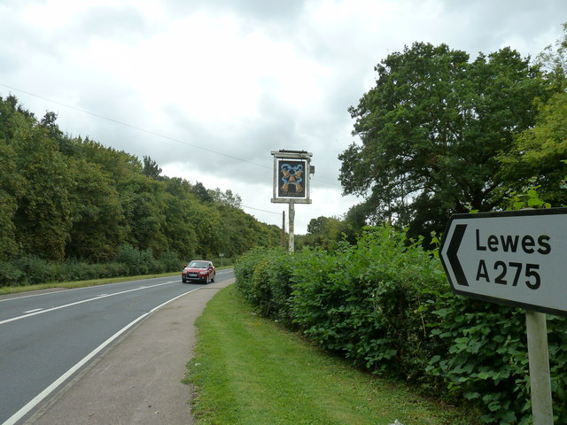
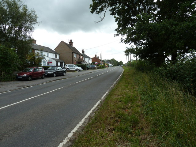
Chailey is a village located in the South East of England, specifically in the county of East Sussex. Situated approximately 6 miles to the north of Lewes, it falls within the local government district of Lewes. The village lies within the civil parish of Chailey, which also includes the neighboring hamlets of South Chailey and North Chailey.
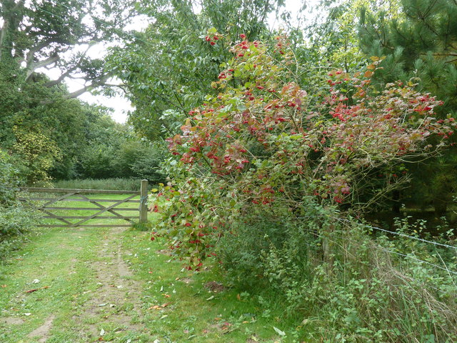
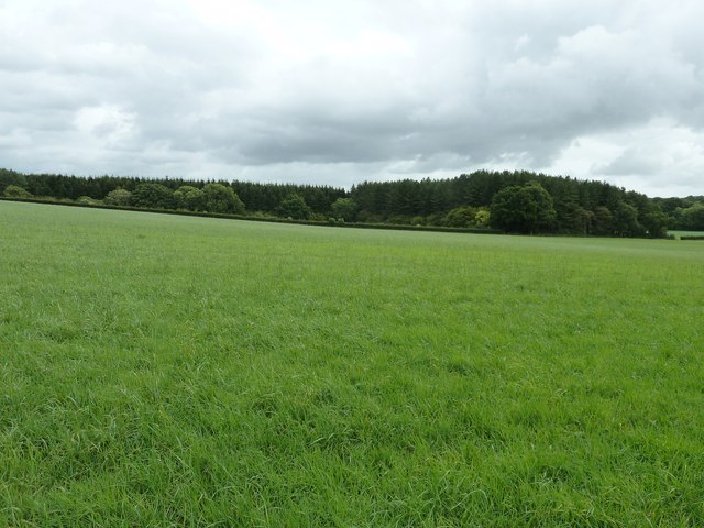
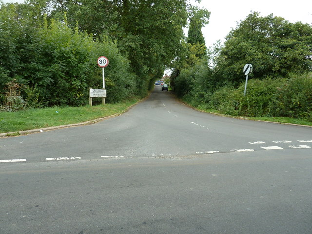
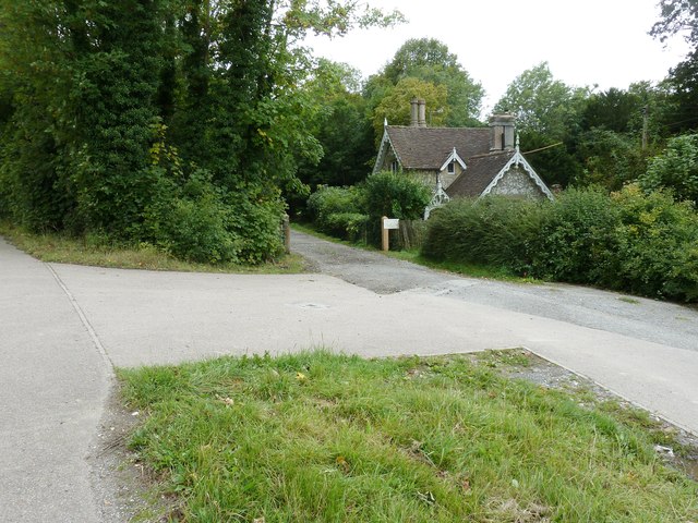
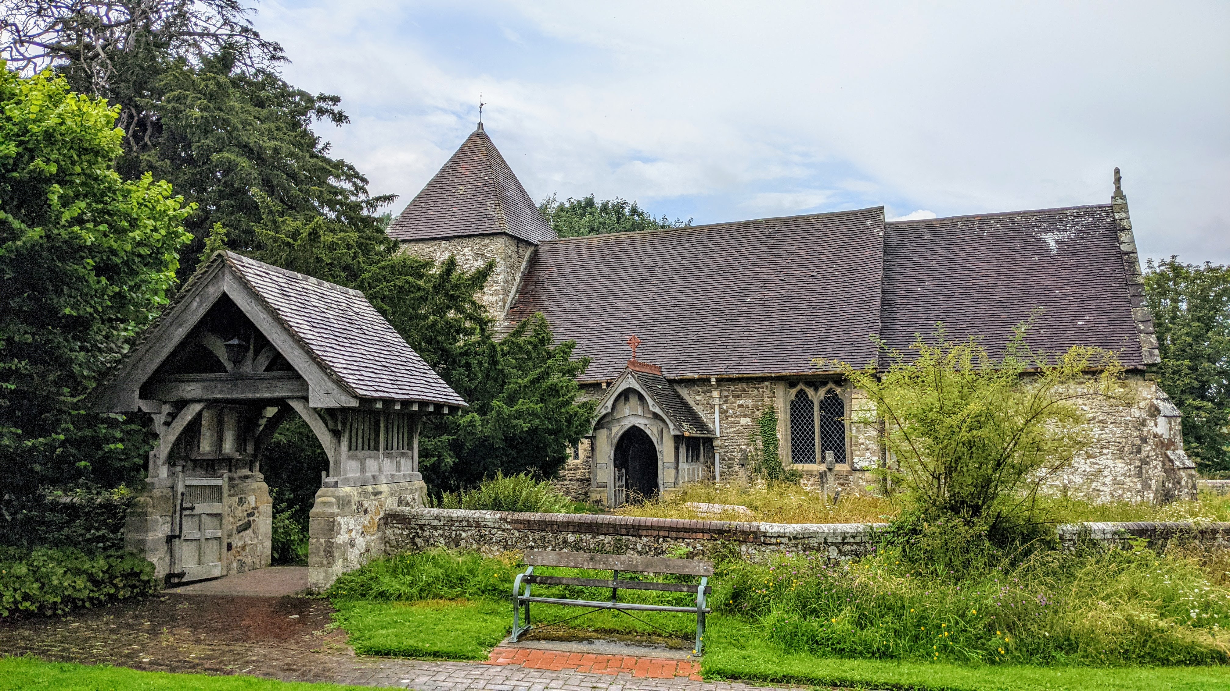
Chailey is a quintessential English village, known for its picturesque countryside and charming rural setting. It is surrounded by rolling hills, woodlands, and meadows, providing a tranquil environment for residents and visitors alike. The area is also home to a variety of wildlife, including deer, foxes, and various bird species, making it an ideal spot for nature enthusiasts.
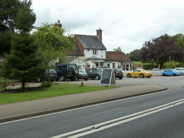
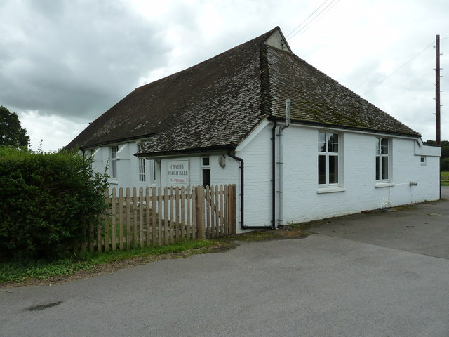
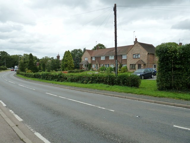
The village itself boasts a tight-knit community and offers a range of amenities, including a primary school, a village hall, a church, and several local shops and businesses. It is also well-served by public transportation, with regular bus services connecting it to nearby towns and villages.
Chailey is also renowned for its healthcare facilities. The Chailey Heritage Foundation, a charitable organization, operates the Chailey Heritage School and the Chailey Heritage Clinical Services, which provide support and education for children and young people with complex disabilities.
Overall, Chailey offers a peaceful and idyllic setting for those seeking a village lifestyle within easy reach of larger towns and cities. Its natural beauty, community spirit, and excellent healthcare services make it a desirable place to live or visit in South Sussex.
If you have any feedback on the listing, please let us know in the comments section below.
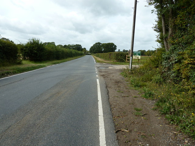
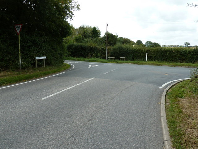
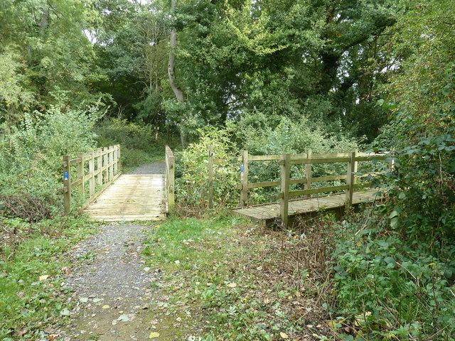
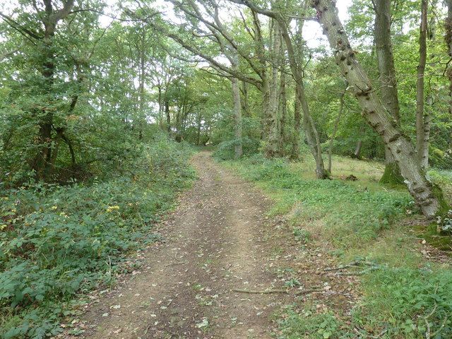
Chailey, South Images
Images are sourced within 2km of 50.938625/-0.024304 or Grid Reference TQ3817. Thanks to Geograph Open Source API. All images are credited.


Chailey, South is located at Grid Ref: TQ3817 (Lat: 50.938625, Lng: -0.024304)
Administrative County: East Sussex
District: Lewes
Police Authority: Sussex
What 3 Words
///trial.jars.slouched. Near South Chailey, East Sussex
Nearby Locations
Related Wikis

Chailey School
Chailey Secondary School opened in April 1958, is a comprehensive secondary school located in the village of South Chailey, Chailey, just outside Lewes...

Chailey Moat
Chailey Moat is a Grade II listed building near the village of Chailey, East Sussex. It is a 16th-century moated two storey house with an 18th-century...

Chailey
Chailey is a village and civil parish in the Lewes District of East Sussex, England. It is located 7 miles north of Lewes, on the A272 road from Winchester...
East Chiltington
East Chiltington is a village and civil parish in the Lewes District of East Sussex, England. It is centred four miles (5.9 km) south-east of Burgess Hill...
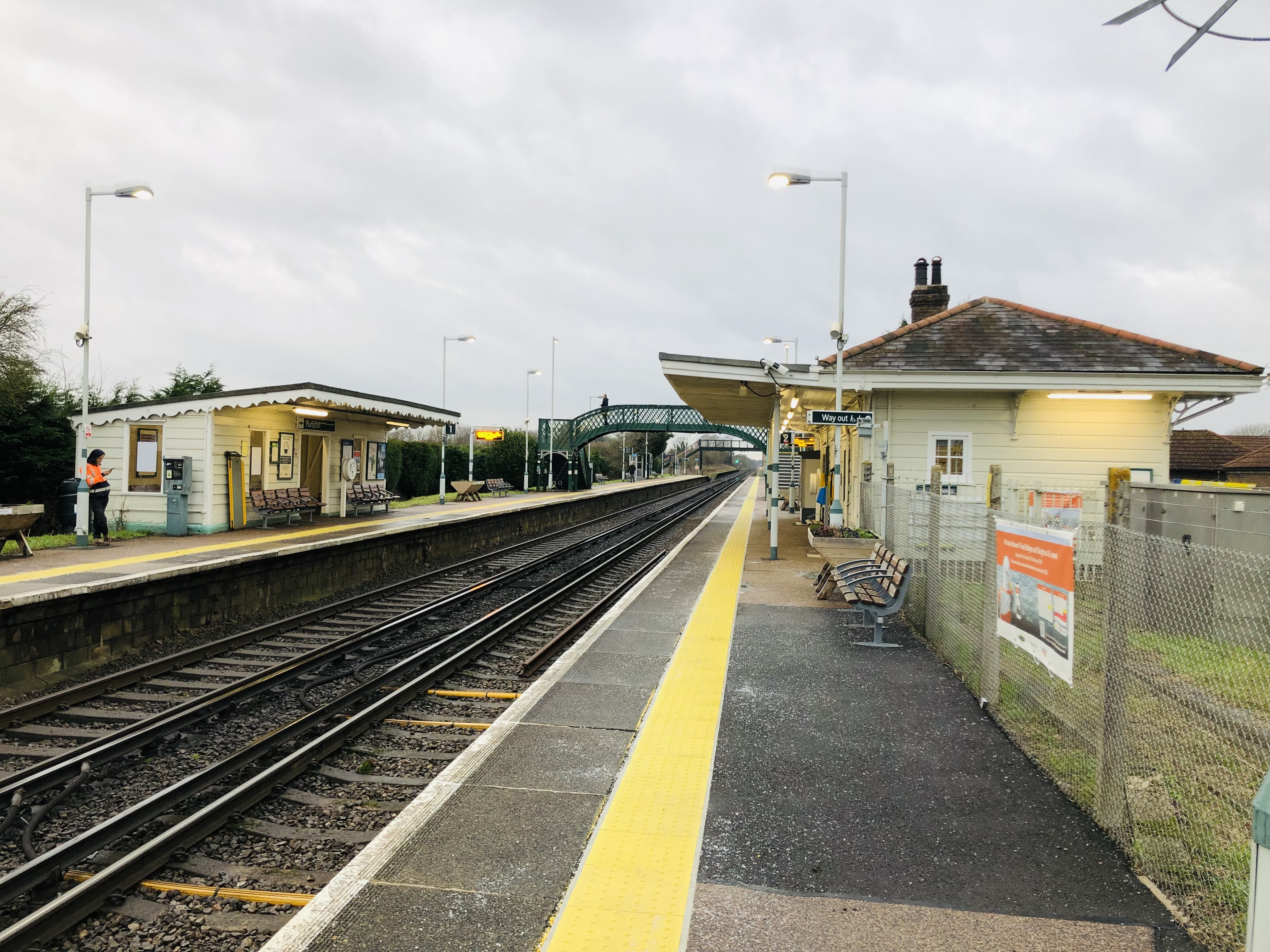
Plumpton railway station
Plumpton railway station serves the village of Plumpton in East Sussex, England. It is 44 miles 42 chains (71.7 km) from London Bridge via Redhill. Train...

RAF Chailey
RAF Chailey was a Royal Air Force Advanced Landing Ground close to the village of Chailey near Burgess Hill in East Sussex during the Second World War...
Plumpton Racecourse
Plumpton Racecourse is a National Hunt racecourse in the village of Plumpton, East Sussex near Lewes and Brighton. Racing first took place at Plumpton...

St John Without
St John Without is a small civil parish in the Lewes District of East Sussex, England, covering an area to the north-west of the town of Lewes. Much...
Nearby Amenities
Located within 500m of 50.938625,-0.024304Have you been to Chailey, South?
Leave your review of Chailey, South below (or comments, questions and feedback).