South Cerney

Settlement in Gloucestershire Cotswold

England

South Cerney

Stone stile, to South Cerney On the boundary of a field & the exceptionally wide patch of the Thames & Severn canal towpath. View is into the field. The view towards the towpath is <a href="https://www.geograph.org.uk/photo/7232718">SU0597 : Stone stile, to South Cerney</a>.
Stone stile, to South Cerney Credit: Mr Red

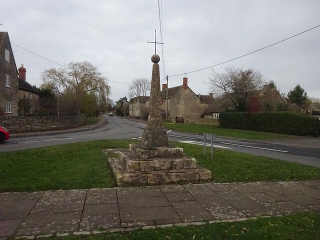
South Cerney is a picturesque village located in the Cotswold district of Gloucestershire, England. Situated just a few miles south of Cirencester, it lies on the eastern shore of the beautiful Cotswold Water Park, a vast network of lakes and wetlands.

The village itself has a population of around 3,000 residents and is known for its quaint charm and natural beauty. It boasts a range of architectural styles, from traditional Cotswold stone cottages to modern houses, creating a diverse and visually appealing atmosphere.

South Cerney offers a variety of amenities, including a primary school, a village hall, a post office, and a selection of shops and pubs. The village is also home to several sports clubs, providing opportunities for residents to engage in activities such as football, cricket, and tennis.

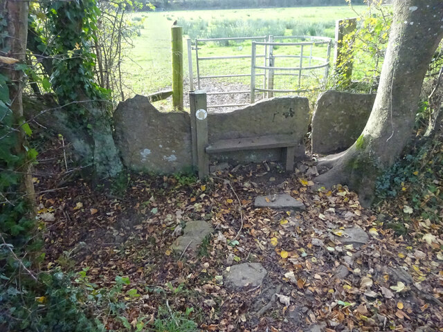
The Cotswold Water Park, which surrounds South Cerney, is a major attraction for both locals and tourists. It offers a wide range of water-based activities, including sailing, kayaking, and fishing. The park also provides ample opportunities for walking and cycling, with numerous trails and paths winding through the area's stunning landscapes.

South Cerney is well-positioned for those looking to explore the wider region. It is conveniently located near the historic market town of Cirencester, often referred to as the "Capital of the Cotswolds," which offers a wealth of shopping, dining, and cultural experiences. Additionally, the village is within easy reach of the M4 and M5 motorways, allowing for straightforward travel to nearby cities such as Bristol and Bath.

Overall, South Cerney is a charming village with a strong sense of community, offering a peaceful and idyllic lifestyle surrounded by stunning natural beauty.

If you have any feedback on the listing, please let us know in the comments section below.
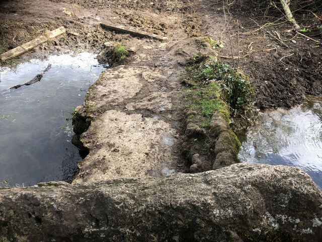
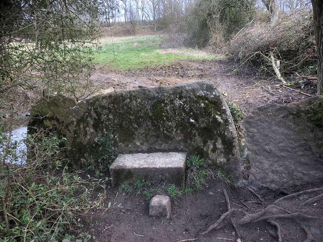
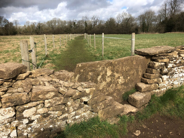
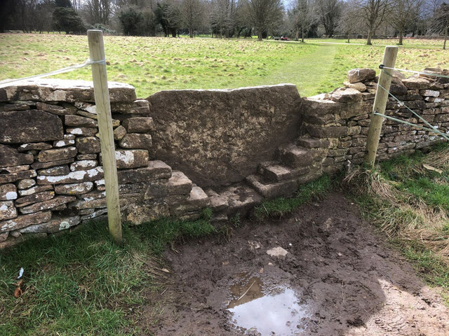
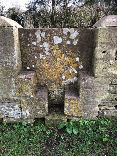
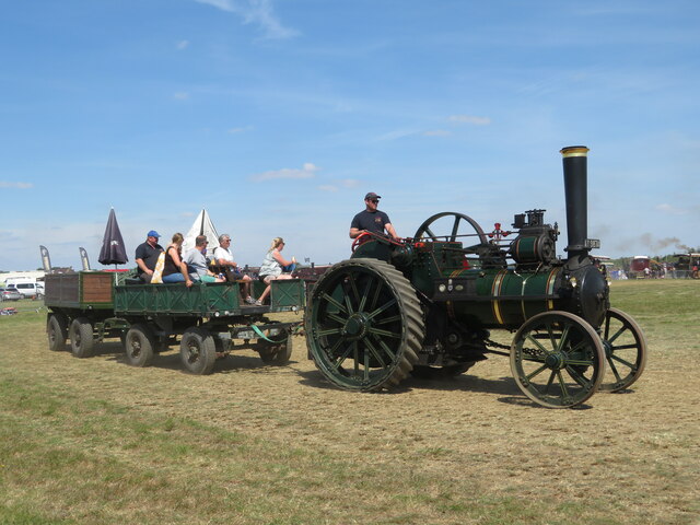
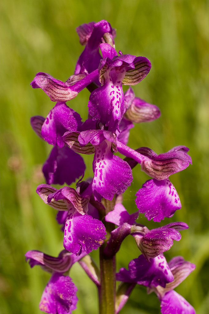
South Cerney Images

Images are sourced within 2km of 51.672065/-1.930498 or Grid Reference SU0497. Thanks to Geograph Open Source API. All images are credited.

Stone stile, to South Cerney On the boundary of a field & the exceptionally wide patch of the Thames & Severn canal towpath. View is into the field. The view towards the towpath is <a href="https://www.geograph.org.uk/photo/7232718">SU0597 : Stone stile, to South Cerney</a>.
Stone stile, to South Cerney
On the boundary of a field & the exceptionally wide patch of the Thames & Severn canal towpath. View is into the field. The view towards the towpath is SU0597 : Stone stile, to South Cerney.
Milestone remnant Thames & Severn canal This stone has the same cross section as stones at <a title="https://www.geograph.org.uk/photo/7031573" href="https://www.geograph.org.uk/photo/7031573">Link</a> & <a title="https://www.geograph.org.uk/photo/6995454" href="https://www.geograph.org.uk/photo/6995454">Link</a> and is 1 mile from the former, to within 0.01 miles. Between what was Crane Bridge and the extant Little Lock. The towpath has been used as access to a large house, and the stone sits on the South side of the road almost in the ditch.

Inscription (would have been): WALBRIDGE / 17½ / INGLESHAM / 11¼


Milestone Society National ID: TSC-17½
Milestone remnant Thames & Severn canal
This stone has the same cross section as stones at Link & Link and is 1 mile from the former, to within 0.01 miles. Between what was Crane Bridge and the extant Little Lock. The towpath has been used as access to a large house, and the stone sits on the South side of the road almost in the ditch. Inscription (would have been): WALBRIDGE / 17½ / INGLESHAM / 11¼ Milestone Society National ID: TSC-17½
Crossroads near South Cerney
Wayside Cross, South Cerney South Cerney Cross, old shaft, base & steps in a new cross. Benchmark at the base representing 90.2 m ASL.

Grade II listed monument see <span class="nowrap"><a title="https://historicengland.org.uk/listing/the-list/list-entry/1154162" rel="nofollow ugc noopener" href="https://historicengland.org.uk/listing/the-list/list-entry/1154162">Link</a><img style="margin-left:2px;" alt="External link" title="External link - shift click to open in new window" src="https://s1.geograph.org.uk/img/external.png" width="10" height="10"/></span>

Milestone Society National ID: GLCO_SOU01
Wayside Cross, South Cerney
South Cerney Cross, old shaft, base & steps in a new cross. Benchmark at the base representing 90.2 m ASL. Grade II listed monument see LinkExternal link Milestone Society National ID: GLCO_SOU01
Lake at the Cotswold Water Park The Cotswold Water Park covers around 40 square miles on the borders of Gloucestershire and Wiltshire.  The park is made up of artificial lakes which have been developed in former gravel pits, to cater for leisure activities.

The Water Park has two parts, the larger around the villages of South Cerney and Ashton Keynes, while the other is further east around Fairford and Lechlade.
Lake at the Cotswold Water Park
The Cotswold Water Park covers around 40 square miles on the borders of Gloucestershire and Wiltshire. The park is made up of artificial lakes which have been developed in former gravel pits, to cater for leisure activities. The Water Park has two parts, the larger around the villages of South Cerney and Ashton Keynes, while the other is further east around Fairford and Lechlade.
Stone stile, to South Cerney On the boundary of a field & the exceptionally wide patch of the Thames & Severn canal towpath. View is SE to the towpath. The view from the towpath is <a href="https://www.geograph.org.uk/photo/7030887">SU0597 : Stone stile, to South Cerney</a>.
Stone stile, to South Cerney
On the boundary of a field & the exceptionally wide patch of the Thames & Severn canal towpath. View is SE to the towpath. The view from the towpath is SU0597 : Stone stile, to South Cerney.
Stone stile, to South Cerney On Gloucestershire footpath BSC15 leading to the village from the Thames & Severn Canal. This is looking over the stile at the causeway. The full view of the stile is <a href="https://www.geograph.org.uk/photo/7232718">SU0597 : Stone stile, to South Cerney</a>.
Stone stile, to South Cerney
On Gloucestershire footpath BSC15 leading to the village from the Thames & Severn Canal. This is looking over the stile at the causeway. The full view of the stile is SU0597 : Stone stile, to South Cerney.
Stone stile, to South Cerney On Gloucestershire footpath BSC15 leading to the village from the Thames & Severn Canal. The view looking over the stile at a causeway is <a href="https://www.geograph.org.uk/photo/7232724">SU0597 : Stone stile, to South Cerney</a>.
Stone stile, to South Cerney
On Gloucestershire footpath BSC15 leading to the village from the Thames & Severn Canal. The view looking over the stile at a causeway is SU0597 : Stone stile, to South Cerney.
Stone stile, to South Cerney On Gloucestershire footpath BSC15 from canal to South Cerney looking North to the disused railway and canal. The view looking South to the church is <a href="https://www.geograph.org.uk/photo/7232766">SU0597 : Stone stile, to South Cerney</a>.
Stone stile, to South Cerney
On Gloucestershire footpath BSC15 from canal to South Cerney looking North to the disused railway and canal. The view looking South to the church is SU0597 : Stone stile, to South Cerney.
Stone stile, to South Cerney On Gloucestershire footpath BSC15 from canal to South Cerney looking South to the church. The view looking North to the disused railway and canal is <a href="https://www.geograph.org.uk/photo/7232757">SU0597 : Stone stile, to South Cerney</a>.
Stone stile, to South Cerney
On Gloucestershire footpath BSC15 from canal to South Cerney looking South to the church. The view looking North to the disused railway and canal is SU0597 : Stone stile, to South Cerney.
Stone stile, to South Cerney On Gloucestershire footpath BSC15 the stile which indicates the registered footpath. This view looks NE from the graveyard. The view to the graveyard is <a href="https://www.geograph.org.uk/photo/7232945">SU0597 : Stone stile, to South Cerney</a>.
Stone stile, to South Cerney
On Gloucestershire footpath BSC15 the stile which indicates the registered footpath. This view looks NE from the graveyard. The view to the graveyard is SU0597 : Stone stile, to South Cerney.
Stone stile, to South Cerney On Gloucestershire footpath BSC15 the stile which indicates the registered footpath. This view looks SW to the graveyard. The alternative view back is <a href="https://www.geograph.org.uk/photo/7232944">SU0597 : Stone stile, to South Cerney</a>
Stone stile, to South Cerney
On Gloucestershire footpath BSC15 the stile which indicates the registered footpath. This view looks SW to the graveyard. The alternative view back is SU0597 : Stone stile, to South Cerney
Stone stile, to South Cerney On Gloucestershire footpath BSC15 adjacent to the churchyard wall.
Stone stile, to South Cerney
On Gloucestershire footpath BSC15 adjacent to the churchyard wall.
Traction engine at the Gloucestershire Vintage & Country Extravaganza event A Gibbons & Robinson steam traction engine of 1894 is put through its paces in the steam play pen at the event at South Cerney airfield, which returned in 2022 after a break during the COVID-19 pandemic.
Traction engine at the Gloucestershire Vintage & Country Extravaganza event
A Gibbons & Robinson steam traction engine of 1894 is put through its paces in the steam play pen at the event at South Cerney airfield, which returned in 2022 after a break during the COVID-19 pandemic.
Traction engine at the Gloucestershire Vintage & Country Extravaganza event Fowler traction engine 'Highland Lass', built 1931, is seen at the event at South Cerney airfield, which returned in 2022 after a break during the COVID-19 pandemic.
Traction engine at the Gloucestershire Vintage & Country Extravaganza event
Fowler traction engine 'Highland Lass', built 1931, is seen at the event at South Cerney airfield, which returned in 2022 after a break during the COVID-19 pandemic.
Traction engine at the Gloucestershire Vintage & Country Extravaganza event Burrell traction engine Empress, of 1925, is seen giving rides at the event at South Cerney airfield, which returned in 2022 after a break during the COVID-19 pandemic.
Traction engine at the Gloucestershire Vintage & Country Extravaganza event
Burrell traction engine Empress, of 1925, is seen giving rides at the event at South Cerney airfield, which returned in 2022 after a break during the COVID-19 pandemic.
Wildmoor Lane, South Cerney Dry land amongst the proliferating flooded gravel pits.
Wildmoor Lane, South Cerney
Dry land amongst the proliferating flooded gravel pits.
Station Road, South Cerney
Show me another place!

South Cerney is located at Grid Ref: SU0497 (Lat: 51.672065, Lng: -1.930498)

Administrative County: Gloucestershire

District: Cotswold

Police Authority: Gloucestershire

What 3 Words

///bricks.unwell.booklets. Near South Cerney, Gloucestershire

Nearby Locations

South Cerney Cerney, South

Related Wikis

South Cerney

South Cerney is a village and civil parish in the Cotswold district of Gloucestershire, 3 miles south of Cirencester and close to the border with Wiltshire...

Church of All Hallows, South Cerney

The Church of All Hallows is an Anglican parish church in the village of South Cerney, Gloucestershire. The church is of Norman origins, with medieval...

South Cerney Castle

South Cerney Castle was an adulterine castle of Motte and bailey construction built in South Cerney, Gloucestershire in the mid-12th century. Today only...

South Cerney railway station

South Cerney railway station was on the Midland and South Western Junction Railway in Gloucestershire. The station opened on 18 December 1883 on the Swindon...

Wildmoorway Meadows

Wildmoorway Meadows (grid reference SU066973) is a 12.6-hectare (31-acre) biological Site of Special Scientific Interest in Gloucestershire, to the east...

RAF South Cerney

Royal Air Force South Cerney or more simply RAF South Cerney is a former Royal Air Force station located in South Cerney near Cirencester in Gloucestershire...

Duke of Gloucester Barracks

The Duke of Gloucester Barracks is a British Army barracks at South Cerney in Gloucestershire. == History == The barracks were established on the site...

All Saints Church, Shorncote

All Saints Church is a historic Anglican church in Shorncote, Gloucestershire, England under the care of The Churches Conservation Trust. It is recorded...

Nearby Amenities

Located within 500m of 51.672065,-1.930498
South Cerney
Is In: Gloucestershire, England, UK
Place: village
Postal Code: GL7 5
Lat/Long: 51.6726722/-1.9298623
Pub
The George
Addr City: Cirencester
Addr Housename: Old George Inn
Addr Postcode: GL7 5UA
Addr Street: Clarks Hay
Addr Village: South Cerney
Fhrs Id: 1275344
Source Addr: FHRS Open Data
Lat/Long: 51.6735912/-1.9305276
Pub
Eliot Arms
Addr City: Cirencester
Addr Housename: The Eliot Arms
Addr Postcode: GL7 5UA
Addr Street: Clarks Hay
Addr Village: South Cerney
Fhrs Id: 771109
Wikidata: Q26625112
Lat/Long: 51.6737332/-1.9313345
Bus Stop
The Leaze
Bus: yes
Naptan AtcoCode: 1600GL4303
Naptan Bearing: SE
Naptan CommonName: The Leaze
Naptan Indicator: Opp
Naptan NaptanCode: glogapmd
Naptan Street: Broadway Lane
Naptan Verified: no
Public Transport: platform
Source: naptan_import
Lat/Long: 51.6684398/-1.9308816
Bus Stop
The Leaze
Bus: yes
Naptan AtcoCode: 1600GL4304
Naptan Bearing: NW
Naptan CommonName: The Leaze
Naptan NaptanCode: glogapma
Naptan Street: Broadway Ln
Naptan Verified: no
Public Transport: platform
Source: naptan_import
Lat/Long: 51.6683499/-1.9308962
Bus Stop
Cross
Bus: yes
Naptan AtcoCode: 1600GL4305
Naptan Bearing: E
Naptan CommonName: Cross
Naptan NaptanCode: glogapmg
Naptan Street: Station Rd
Naptan Verified: no
Public Transport: platform
Source: naptan_import
Lat/Long: 51.6720803/-1.9290105
Bus Stop
Cross
Bus: yes
Naptan AtcoCode: 1600GL4306
Naptan Bearing: W
Naptan CommonName: Cross
Naptan NaptanCode: glogapmj
Naptan Street: Station Rd
Naptan Verified: no
Public Transport: platform
Source: naptan_import
Lat/Long: 51.6718383/-1.9303413
Bus Stop
Church Ln
Bus: yes
Naptan AtcoCode: 1600GL4307
Naptan Bearing: S
Naptan CommonName: Church Ln
Naptan NaptanCode: glogapjw
Naptan Street: Silver St
Naptan Verified: no
Public Transport: platform
Source: naptan_import
Lat/Long: 51.6744102/-1.9309448
Bus Stop
Church Ln
Bus: yes
Naptan AtcoCode: 1600GL4308
Naptan Bearing: N
Naptan CommonName: Church Ln
Naptan Indicator: Opp
Naptan NaptanCode: glogapjt
Naptan Street: Silver St
Naptan Verified: no
Public Transport: platform
Source: naptan_import
Lat/Long: 51.6742484/-1.9310896
Bus Stop
Mill Close
Bus: yes
Naptan AtcoCode: 1600GLA57001
Naptan Bearing: NE
Naptan CommonName: Mill Close
Naptan NaptanCode: glogmtgw
Naptan Street: Boxbush Rd
Naptan Verified: no
Public Transport: platform
Source: naptan_import
Lat/Long: 51.6738675/-1.9256093
Bus Stop
Royal Oak
Bus: yes
Naptan AtcoCode: 1600GLC207
Naptan Bearing: E
Naptan CommonName: Royal Oak
Naptan Indicator: Opp
Naptan NaptanCode: glogapat
Naptan Street: High Street
Naptan Verified: no
Public Transport: platform
Source: naptan_import
Lat/Long: 51.6708476/-1.9350023
Bus Stop
Royal Oak
Bus: yes
Naptan AtcoCode: 1600GLC208
Naptan Bearing: W
Naptan CommonName: Royal Oak
Naptan NaptanCode: glogapap
Naptan Street: High Street
Naptan Verified: no
Public Transport: platform
Source: naptan_import
Lat/Long: 51.6708339/-1.9350426
Bus Stop
The Lennards
Bus: yes
Naptan AtcoCode: 1600GLC211
Naptan Bearing: E
Naptan CommonName: The Lennards
Naptan NaptanCode: glogapwa
Naptan Street: Station Rd
Naptan Verified: no
Public Transport: platform
Source: naptan_import
Lat/Long: 51.6725458/-1.9257994
Bus Stop
The Lennards
Bus: yes
Naptan AtcoCode: 1600GLC212
Naptan Bearing: W
Naptan CommonName: The Lennards
Naptan Indicator: Opp
Naptan NaptanCode: glogaptw
Naptan Street: Station Rd
Naptan Verified: no
Public Transport: platform
Source: naptan_import
Lat/Long: 51.6724559/-1.9257562
Bus Stop
Berkeley Close
Bus: yes
Naptan AtcoCode: 1600GLC413
Naptan Bearing: S
Naptan CommonName: Berkeley Close
Naptan Indicator: Opp
Naptan NaptanCode: glogapgj
Naptan Street: Broadway Lane
Naptan Verified: no
Public Transport: platform
Source: naptan_import
Lat/Long: 51.6704278/-1.9324114
Bus Stop
Berkeley Close
Bus: yes
Naptan AtcoCode: 1600GLC414
Naptan Bearing: N
Naptan CommonName: Berkeley Close
Naptan NaptanCode: glogapgd
Naptan Street: Broadway Lane
Naptan Verified: no
Public Transport: platform
Source: naptan_import
Lat/Long: 51.6704099/-1.9325271
Fast Food
Clarks Hay Fish Bar
Lat/Long: 51.6732801/-1.9308212
Londis
Brand: Londis
Brand Wikidata: Q21008564
Brand Wikipedia: en:Londis (United Kingdom)
Shop: supermarket
Lat/Long: 51.6707384/-1.9324032
Pharmacy
The Laurels
Healthcare: pharmacy
Lat/Long: 51.6731736/-1.9312182
Historic: memorial
Memorial: war_memorial
Lat/Long: 51.6712318/-1.9325613
Barrier: yes
Foot: yes
Lat/Long: 51.6687412/-1.9333657
Generator Method: photovoltaic
Generator Output Electricity: yes
Generator Source: solar
Generator Type: solar_photovoltaic_panel
Location: roof
Power: generator
Lat/Long: 51.6730111/-1.9251798
Generator Method: photovoltaic
Generator Output Electricity: yes
Generator Source: solar
Generator Type: solar_photovoltaic_panel
Location: roof
Power: generator
Lat/Long: 51.6730211/-1.9248754
Generator Method: photovoltaic
Generator Output Electricity: yes
Generator Source: solar
Generator Type: solar_photovoltaic_panel
Location: roof
Power: generator
Lat/Long: 51.6730385/-1.924571
Generator Method: photovoltaic
Generator Output Electricity: yes
Generator Source: solar
Generator Type: solar_photovoltaic_panel
Location: roof
Power: generator
Lat/Long: 51.6728586/-1.9357663
Generator Method: photovoltaic
Generator Output Electricity: yes
Generator Source: solar
Generator Type: solar_photovoltaic_panel
Location: roof
Power: generator
Lat/Long: 51.672303/-1.9360238
Generator Method: photovoltaic
Generator Output Electricity: yes
Generator Source: solar
Generator Type: solar_photovoltaic_panel
Location: roof
Power: generator
Lat/Long: 51.6722698/-1.9360667
Generator Method: photovoltaic
Generator Output Electricity: yes
Generator Source: solar
Generator Type: solar_photovoltaic_panel
Location: roof
Power: generator
Lat/Long: 51.6722382/-1.9360077
Generator Method: photovoltaic
Generator Output Electricity: yes
Generator Source: solar
Generator Type: solar_photovoltaic_panel
Location: roof
Power: generator
Lat/Long: 51.6726368/-1.935167
Generator Method: photovoltaic
Generator Output Electricity: yes
Generator Source: solar
Generator Type: solar_photovoltaic_panel
Location: roof
Power: generator
Lat/Long: 51.6724081/-1.9348371
Generator Method: photovoltaic
Generator Output Electricity: yes
Generator Source: solar
Generator Type: solar_photovoltaic_panel
Location: roof
Power: generator
Lat/Long: 51.6715994/-1.9375688
Barrier: bollard
Bollard: fixed
Material: metal
Lat/Long: 51.6710289/-1.9290677
Crossing
Crossing: unmarked
Crossing Markings: no
Lat/Long: 51.6710561/-1.9251321
Crossing
Lat/Long: 51.6688082/-1.9264899
Crossing
Lat/Long: 51.66989/-1.9284716
Give Way
Direction: forward
Lat/Long: 51.6719363/-1.9302319
Give Way
Direction: backward
Lat/Long: 51.6721071/-1.9304378
South Cerney Cross
Historic: memorial
Lat/Long: 51.6719833/-1.930442
The data included in this document is from www.openstreetmap.org. The data is made available under ODbL.

Have you been to South Cerney?

Leave your review of South Cerney below (or comments, questions and feedback).