Southam Wood
Wood, Forest in Sussex Lewes
England
Southam Wood
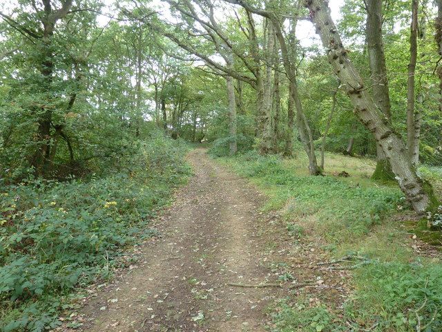
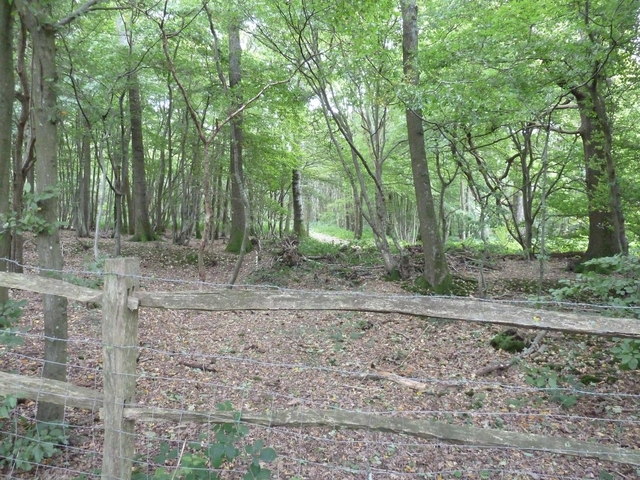
Southam Wood is a picturesque woodland located in Sussex, England. Covering an area of approximately 100 hectares, it is a significant natural habitat within the region. The wood is characterized by a diverse range of tree species, including oak, beech, ash, and birch, providing a rich and varied ecosystem.
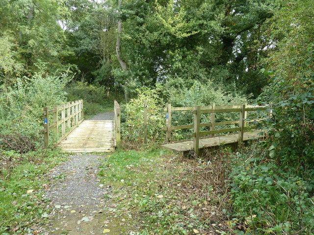
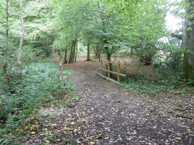
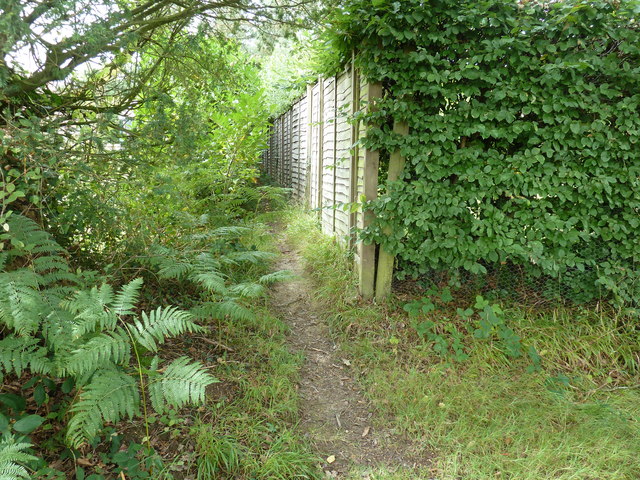
The woodland is known for its tranquil and serene atmosphere, making it a popular destination for nature enthusiasts and hikers. The well-maintained footpaths wind through the wood, offering visitors the opportunity to explore and discover its hidden treasures. Along the paths, one can find an array of wildflowers, such as bluebells and wood anemones, adding a vibrant touch of color to the surroundings.
Southam Wood is also home to a variety of wildlife. Birds, including robins, blackbirds, and woodpeckers, can be spotted among the treetops, while mammals like squirrels and deer roam the forest floor. The wood provides a safe haven for these creatures, offering shelter and sustenance throughout the year.
Managed by a dedicated team of conservationists, Southam Wood is carefully preserved to maintain its natural beauty and protect its inhabitants. Regular maintenance work is carried out to ensure the health and vitality of the woodland, including tree planting and controlling invasive species.
Overall, Southam Wood is a haven of tranquility and natural beauty, offering visitors an opportunity to reconnect with nature and discover the wonders of Sussex's woodlands.
If you have any feedback on the listing, please let us know in the comments section below.
Southam Wood Images
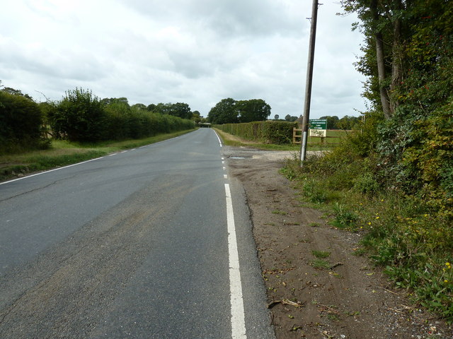
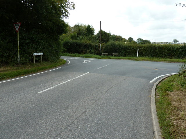
Images are sourced within 2km of 50.943334/-0.036210617 or Grid Reference TQ3817. Thanks to Geograph Open Source API. All images are credited.


Southam Wood is located at Grid Ref: TQ3817 (Lat: 50.943334, Lng: -0.036210617)
Administrative County: East Sussex
District: Lewes
Police Authority: Sussex
What 3 Words
///dugouts.version.tigers. Near South Chailey, East Sussex
Nearby Locations
Related Wikis

Chailey School
Chailey Secondary School opened in April 1958, is a comprehensive secondary school located in the village of South Chailey, Chailey, just outside Lewes...

Chailey Moat
Chailey Moat is a Grade II listed building near the village of Chailey, East Sussex. It is a 16th-century moated two storey house with an 18th-century...

RAF Chailey
RAF Chailey was a Royal Air Force Advanced Landing Ground close to the village of Chailey near Burgess Hill in East Sussex during the Second World War...
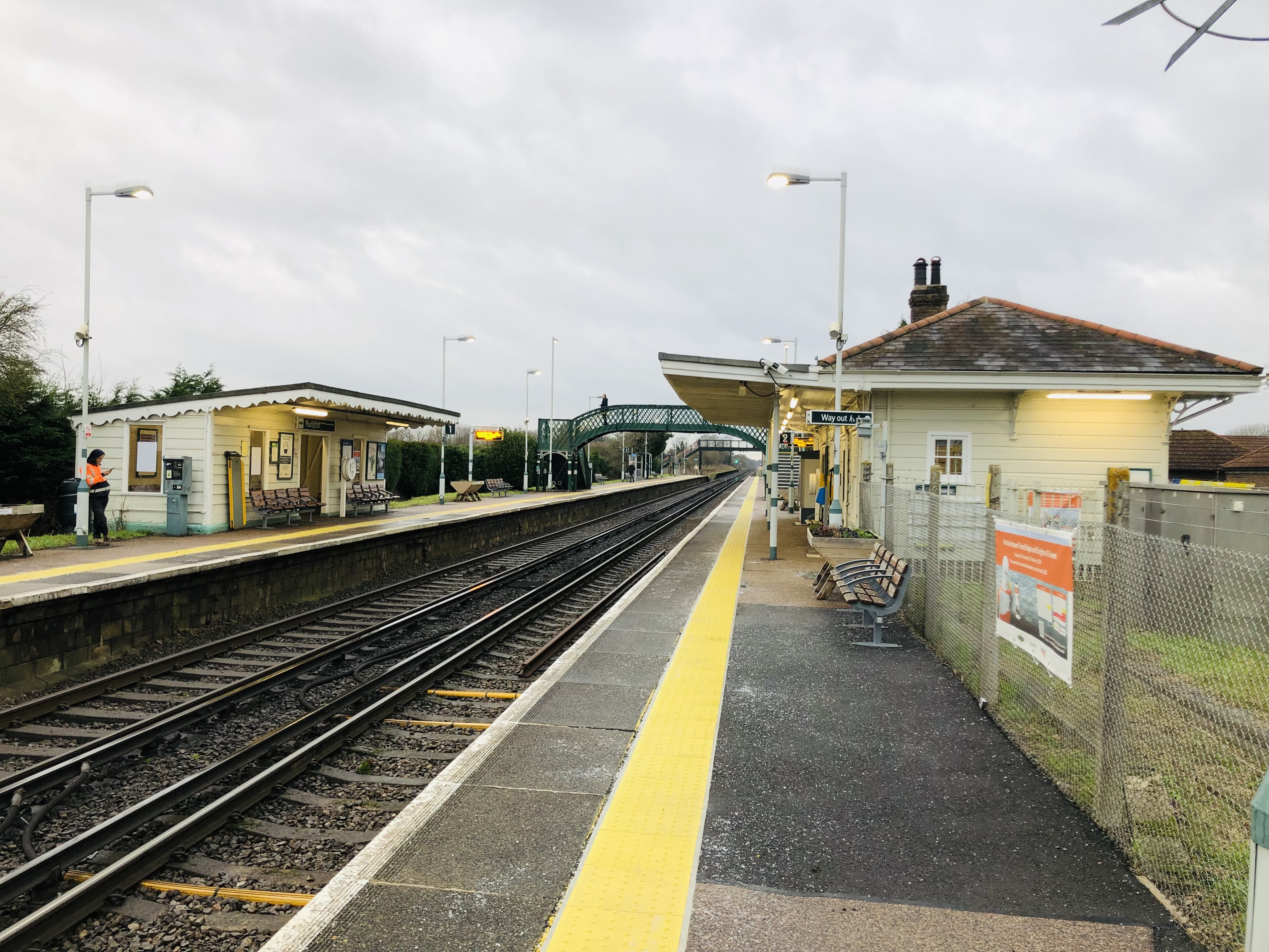
Plumpton railway station
Plumpton railway station serves the village of Plumpton in East Sussex, England. It is 44 miles 42 chains (71.7 km) from London Bridge via Redhill. Train...
Nearby Amenities
Located within 500m of 50.943334,-0.036210617Have you been to Southam Wood?
Leave your review of Southam Wood below (or comments, questions and feedback).