Rook Grove

Wood, Forest in Cambridgeshire South Cambridgeshire

England

Rook Grove

Dry Drayton, SS Peter and Paul <span class="nowrap"><a title="http://www.druidic.org/camchurch/churches/drydrayton.htm" rel="nofollow ugc noopener" href="http://www.druidic.org/camchurch/churches/drydrayton.htm">Link</a><img style="margin-left:2px;" alt="External link" title="External link - shift click to open in new window" src="https://s1.geograph.org.uk/img/external.png" width="10" height="10"/></span>
Dry Drayton, SS Peter and Paul Credit: mym

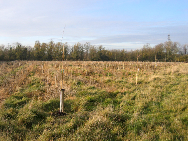
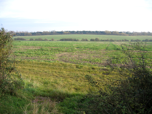
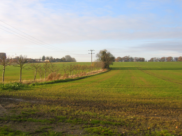
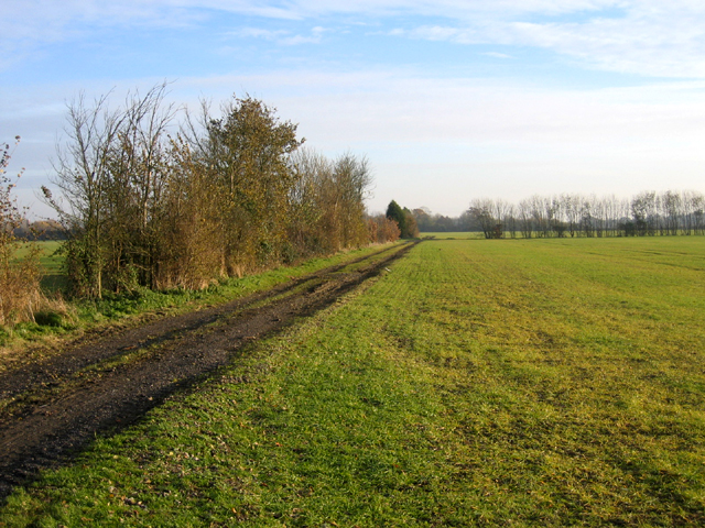
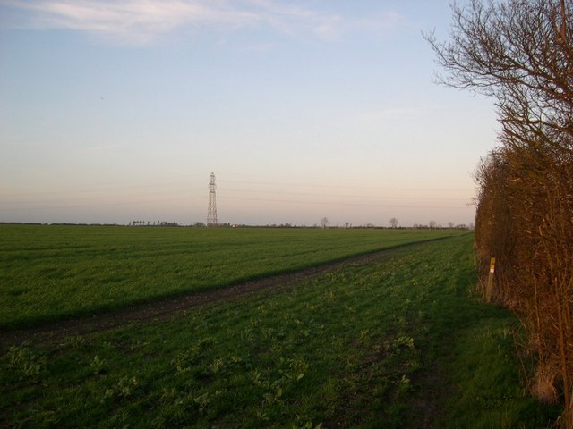
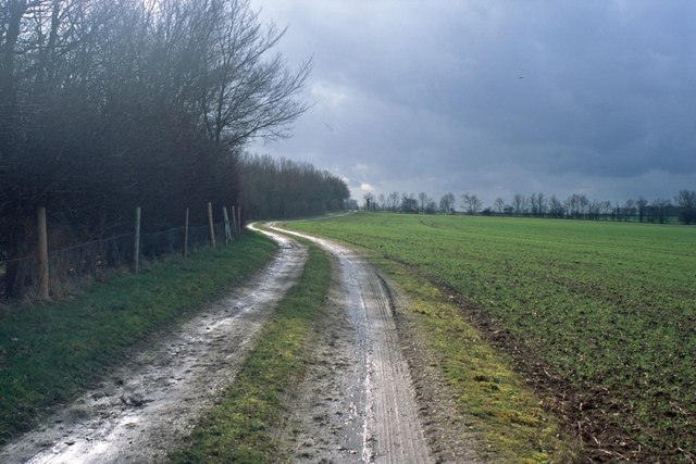
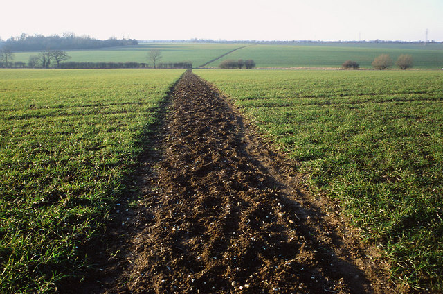
Rook Grove is a picturesque wood located in Cambridgeshire, England. Situated amidst the sprawling countryside, this enchanting forest is a haven for nature lovers and outdoor enthusiasts. Covering an area of approximately 100 acres, Rook Grove boasts an impressive variety of flora and fauna, making it a significant biodiversity hotspot in the region.

The wood is predominantly composed of ancient oak trees, some of which are believed to be over 300 years old. These majestic giants provide a dense canopy, creating a cool and tranquil atmosphere throughout the grove. The forest floor is adorned with a tapestry of bluebells, primroses, and wild garlic during the spring months, painting a vibrant and colorful scene.

Rook Grove is also home to a plethora of wildlife. Birdwatchers can spot various species, including woodpeckers, owls, and thrushes. The wood's diverse ecosystem supports a range of mammals, such as badgers, foxes, and deer. Rare sightings of dormice have also been reported, adding to the allure of this natural gem.

The wood offers a network of well-maintained walking paths, allowing visitors to explore its beauty at their own pace. The tranquil ambiance, coupled with the sounds of rustling leaves and chirping birds, makes Rook Grove the perfect destination for peaceful walks, picnics, and even photography.

Overall, Rook Grove in Cambridgeshire is a captivating woodland that captivates visitors with its ancient oaks, diverse wildlife, and serene ambiance. It serves as a sanctuary for both nature enthusiasts and those seeking solace in the midst of nature's splendor.

If you have any feedback on the listing, please let us know in the comments section below.
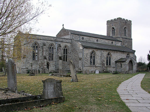
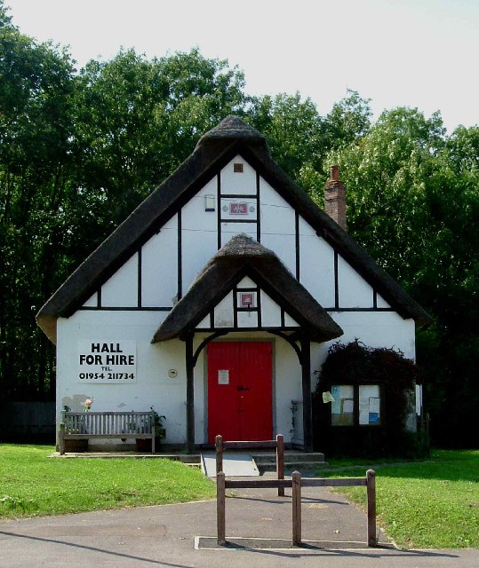
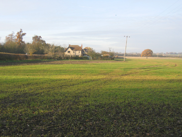
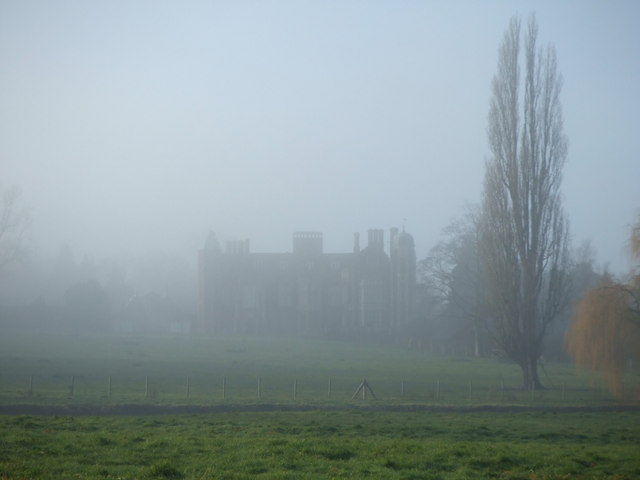
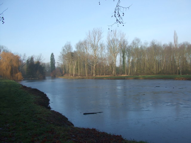
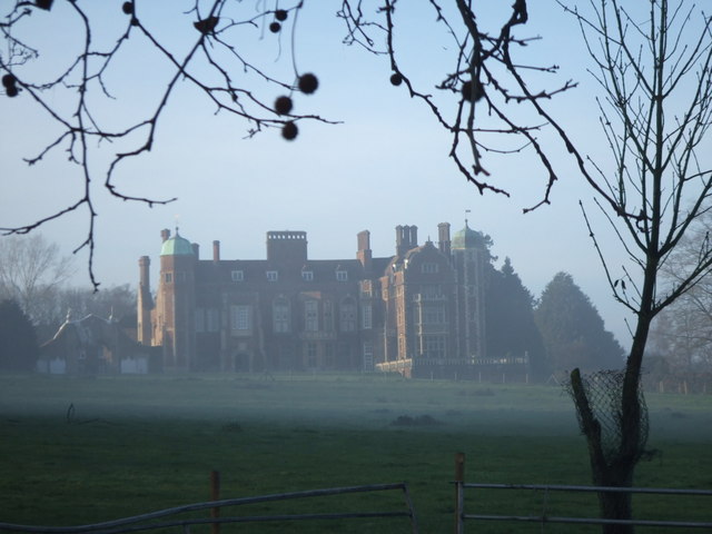
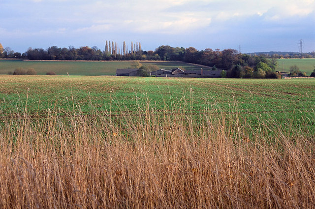
Rook Grove Images

Images are sourced within 2km of 52.236376/0.020389683 or Grid Reference TL3861. Thanks to Geograph Open Source API. All images are credited.

Dry Drayton, SS Peter and Paul <span class="nowrap"><a title="http://www.druidic.org/camchurch/churches/drydrayton.htm" rel="nofollow ugc noopener" href="http://www.druidic.org/camchurch/churches/drydrayton.htm">Link</a><img style="margin-left:2px;" alt="External link" title="External link - shift click to open in new window" src="https://s1.geograph.org.uk/img/external.png" width="10" height="10"/></span>
Dry Drayton, SS Peter and Paul
“Things You’d Not Believe in Madingley” Not something you see everyday, a thatched village hall. I wonder if Rupert Brooke ever went to a wild party there one Christmas eve? Probably not…see <span class="nowrap"><a title="http://www.poetsgraves.co.uk/Classic%20Poems/Brooke/grantchester.htm" rel="nofollow ugc noopener" href="http://www.poetsgraves.co.uk/Classic%20Poems/Brooke/grantchester.htm">Link</a><img style="margin-left:2px;" alt="External link" title="External link - shift click to open in new window" src="https://s1.geograph.org.uk/img/external.png" width="10" height="10"/></span> to catch the full quote.
“Things You’d Not Believe in Madingley”
Not something you see everyday, a thatched village hall. I wonder if Rupert Brooke ever went to a wild party there one Christmas eve? Probably not…see LinkExternal link to catch the full quote.
Farmland and cottages, Madingley, Cambs – view NW, from the bridlepath, of New Farm and cottages on the Dry Drayton Road.
Farmland and cottages, Madingley, Cambs
– view NW, from the bridlepath, of New Farm and cottages on the Dry Drayton Road.
New plantation, Dry Drayton, Cambs – in neat rows, just north of Madingley Road.
New plantation, Dry Drayton, Cambs
– in neat rows, just north of Madingley Road.
Callow Brook valley, Dry Drayton, Cambs – view E across the northern edge of the square from Scotland Road.
Callow Brook valley, Dry Drayton, Cambs
– view E across the northern edge of the square from Scotland Road.
Saxon Way, Bar Hill, Cambs Saxon Way skirts the western part of the settlement, just south of the A14 road; the belt of trees (left) separates the housing estates from the open countryside and village of Lolworth.
Saxon Way, Bar Hill, Cambs
Saxon Way skirts the western part of the settlement, just south of the A14 road; the belt of trees (left) separates the housing estates from the open countryside and village of Lolworth.
Crafts Way, Bar Hill, Cambs View N of Crafts Hill and the perimeter road from Thruffle Way.
Crafts Way, Bar Hill, Cambs
View N of Crafts Hill and the perimeter road from Thruffle Way.
Saxon Way, Bar Hill, Cambs – view of the perimeter road at the southern end of the village.
Saxon Way, Bar Hill, Cambs
– view of the perimeter road at the southern end of the village.
Farmland, Dry Drayton, Cambs – view NW towards the centre of the square from the Oakington Road.
Farmland, Dry Drayton, Cambs
– view NW towards the centre of the square from the Oakington Road.
Farm track and farmland, Dry Drayton, Cambs – view SE of Dry Drayton Estate farmland from the Oakington Road.
Farm track and farmland, Dry Drayton, Cambs
– view SE of Dry Drayton Estate farmland from the Oakington Road.
Line of the Greenwich Meridian The Greenwich Meridian intersects the bend in the footpath marked by the yellow tipped sign and passes directly under the central electricity pylon. This view is true north (and not grid north!).
Line of the Greenwich Meridian
The Greenwich Meridian intersects the bend in the footpath marked by the yellow tipped sign and passes directly under the central electricity pylon. This view is true north (and not grid north!).
Track from New Farm to Park Farm This track lies adjacent to the long shelter bed planted at the boundary of the original Madingley Hall estate.
Track from New Farm to Park Farm
This track lies adjacent to the long shelter bed planted at the boundary of the original Madingley Hall estate.
Madingley Hall in the mist
Madingley Hall, the lake The lake was frozen, with the Sun just starting to break through the mist.
Madingley Hall, the lake
The lake was frozen, with the Sun just starting to break through the mist.
Madingley Hall,  East Front
Madingley Hall, East Front
Fields of Rectory Farm A view back towards Dry Drayton from the footpath from Dry Drayton towards Lolworth
Fields of Rectory Farm
A view back towards Dry Drayton from the footpath from Dry Drayton towards Lolworth
Bar Hill Library and Post Office The first example of a combined library and post office in the UK.  When their original post office closed, the four thousand residents of Bar Hill were left with a trek to tiny Lolworth (population 160) for the nearest alternative facilities until the library service came to the rescue by offering space for a post office counter.
Bar Hill Library and Post Office
The first example of a combined library and post office in the UK. When their original post office closed, the four thousand residents of Bar Hill were left with a trek to tiny Lolworth (population 160) for the nearest alternative facilities until the library service came to the rescue by offering space for a post office counter.
Footpath to Childerley from Dry Drayton The footpath is muddy in the winter and a battle between towering rape crops in the summer!
Footpath to Childerley from Dry Drayton
The footpath is muddy in the winter and a battle between towering rape crops in the summer!
Show me another place!

Rook Grove is located at Grid Ref: TL3861 (Lat: 52.236376, Lng: 0.020389683)

Administrative County: Cambridgeshire

District: South Cambridgeshire

Police Authority: Cambridgeshire

What 3 Words

///stems.demotion.bedrock. Near Bar Hill, Cambridgeshire

Nearby Locations

Rook Grove

Related Wikis

Dry Drayton

Dry Drayton is a village and civil parish about 5 miles (8 km) northwest of Cambridge in Cambridgeshire, England, listed as Draitone in the Domesday Book...

University of Cambridge Institute of Continuing Education

The University of Cambridge Institute of Continuing Education (ICE) is a department of the University of Cambridge dedicated to providing continuing education...
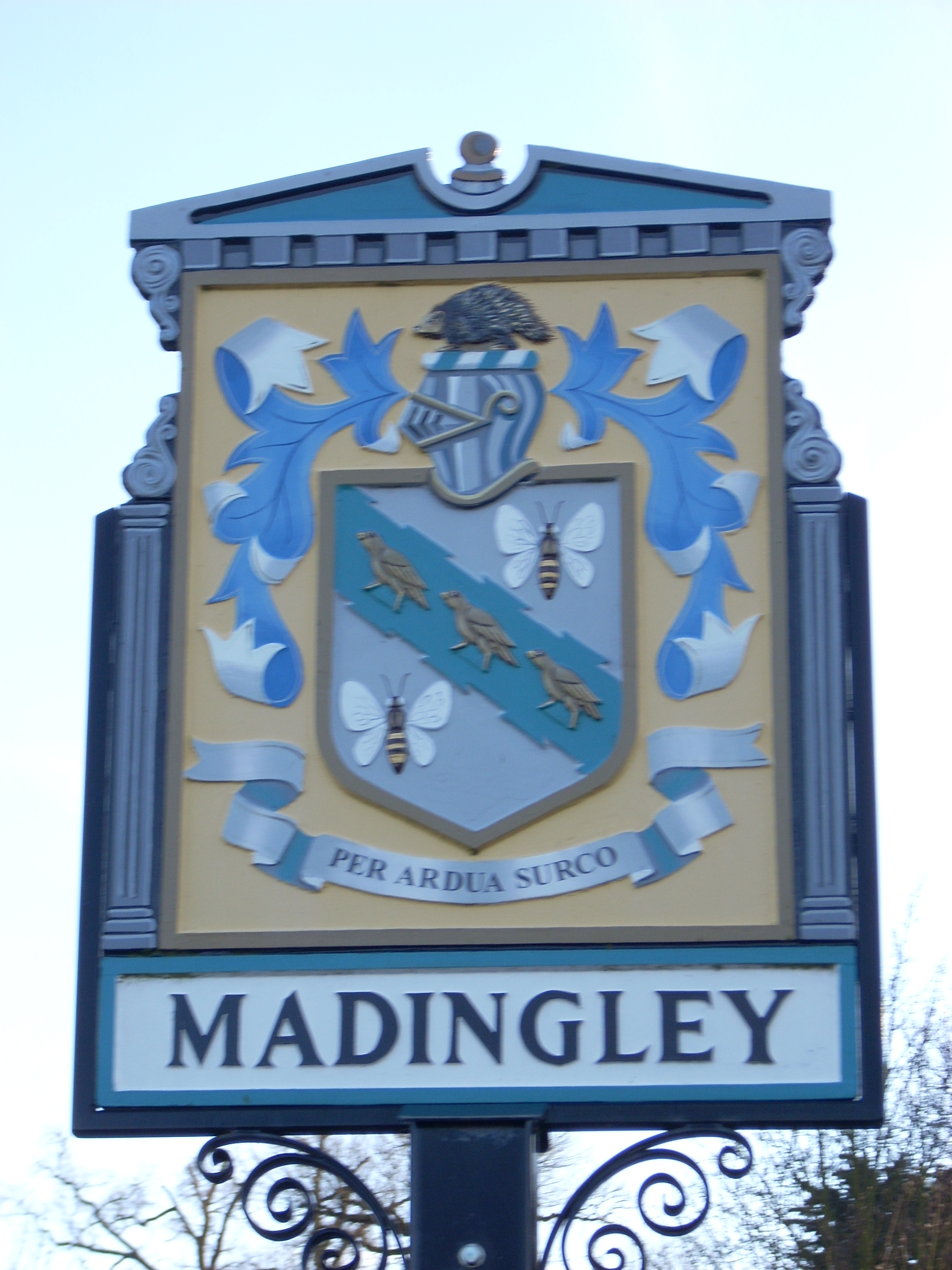
Madingley

Madingley is a small village near Cambridge, England. It is located close to the nearby villages of Coton and Dry Drayton on the western outskirts of Cambridge...

Bar Hill

Bar Hill is a purpose-built village with a population of 4,000 about 4 miles (7 km) northwest of Cambridge, England on the A14 road, just east of the Prime...

Childerley

Childerley, also known as Great Childerley and Little Childerly, was a small rural village in the county of Cambridgeshire in the East of England, United...

Hardwick, Cambridgeshire

Hardwick is a village and civil parish in the county of Cambridgeshire, England with a large housing estate located about 6 miles (9.7 km) west of the...

Lolworth

Lolworth is a small village and civil parish in the district of South Cambridgeshire, in the county of Cambridgeshire, England, located approximately 8...

Madingley Wood

Madingley Wood is a 15.4-hectare (38-acre) biological Site of Special Scientific Interest near Madingley, on the western outskirts of Cambridge.The western...

Nearby Amenities

Located within 500m of 52.236376,0.020389683
Pub
Black Horse
Outdoor Seating: yes
Wikidata: Q26420662
Lat/Long: 52.2397665/0.0219337
Mini Roundabout
Direction: clockwise
Lat/Long: 52.2398382/0.0179936
Turning Circle
Source: survey
Lat/Long: 52.2391909/0.0210171
Post Box
Collection Times: Mo-Fr 09:00; Sa 07:00
Post Box Type: lamp
Ref: CB3 294D
Royal Cypher: EIIR
Royal Cypher Wikidata: Q33102113
Source: survey
Lat/Long: 52.2390263/0.0253847
Dry Drayton Methodist Church (closed)
Building: yes
Denomination: methodist
Disused Amenity: place_of_worship
Religion: christian
Source Name: local knowledge
Lat/Long: 52.2395128/0.0233532
Post Box
Collection Times: Mo-Fr 09:00; Sa 07:00
Operator: Royal Mail
Operator Wikidata: Q638098
Post Box Type: pillar
Ref: CB3 293
Royal Cypher: EIIR
Royal Cypher Wikidata: Q33102113
Source: survey
Lat/Long: 52.2406658/0.0182348
Power: tower
Ref: PT 73
Source: survey
Source Ref: interpolation
Lat/Long: 52.2356309/0.0244857
Power: tower
Ref: PT 71
Source: dictaphone
Source Ref: interpolation
Lat/Long: 52.2359163/0.0148083
Bus Stop
High Street
Bus Stop: shelter
Naptan AtcoCode: 0500SDRYD007
Naptan Bearing: E
Naptan CommonName: High Street
Naptan Indicator: near
Naptan Landmark: High Street
Naptan NaptanCode: cmbdwdgd
Naptan PlusbusZoneRef: CAMBDGE
Naptan Street: Park Street
Naptan Verified: no
Shelter: yes
Source: naptan_import
Lat/Long: 52.239866/0.0183932
Bus Stop
High Street
Naptan AtcoCode: 0500SDRYD008
Naptan Bearing: W
Naptan BusStopType: CUS
Naptan CommonName: High Street
Naptan Indicator: opp
Naptan Landmark: High Street
Naptan NaptanCode: cmbdwdgj
Naptan PlusbusZoneRef: CAMBDGE
Naptan Street: Park Street
Naptan Verified: no
Note: No flag; no post
Source: naptan_import
Lat/Long: 52.2397248/0.0182643
Power: tower
Ref: PT 72
Source: Bing
Source Ref: interpolation
Lat/Long: 52.234726/0.0199785
Bench
Lat/Long: 52.2384689/0.0196499
Barrier: kissing_gate
Lat/Long: 52.2380774/0.024406
Barrier: kissing_gate
Lat/Long: 52.2389106/0.0218118
Barrier: kissing_gate
Lat/Long: 52.2404381/0.0235239
Barrier: kissing_gate
Lat/Long: 52.2408171/0.0209773
Bench
Backrest: yes
Material: wood
Seats: 6
Lat/Long: 52.2387453/0.0198176
Bench
Backrest: yes
Material: wood
Seats: 2
Lat/Long: 52.2385014/0.0191122
Bench
Backrest: yes
Material: wood
Lat/Long: 52.2391086/0.0212211
Bench
Backrest: yes
Lat/Long: 52.2393426/0.0201513
Barrier: bollard
Lat/Long: 52.2398589/0.018638
Bench
Backrest: yes
Inscription: In loving memory of our dear grandad Gordon Teversham who loved to sit here with his faithful companion Abbey by his side watching the world go by Love always Emma, Joshua, Mandy, Paul & Georgia X X X X X
Material: metal
Openbenches Id: 20507
Lat/Long: 52.2399773/0.0177444
Advertising: board
Board Type: notice
Information: board
Tourism: information
Lat/Long: 52.2406512/0.0182319
Fixme: Survey for panel type
Generator Method: photovoltaic
Generator Output Electricity: yes
Generator Source: solar
Generator Type: solar_photovoltaic_panel
Location: roof
Power: generator
Lat/Long: 52.239603/0.0233929
Fixme: Survey for panel type
Generator Method: photovoltaic
Generator Output Electricity: yes
Generator Source: solar
Generator Type: solar_photovoltaic_panel
Location: roof
Power: generator
Lat/Long: 52.2397418/0.023189
Fixme: Survey for panel type
Generator Method: photovoltaic
Generator Output Electricity: yes
Generator Source: solar
Generator Type: solar_photovoltaic_panel
Location: roof
Power: generator
Lat/Long: 52.2398519/0.0170032
Fixme: Survey for panel type
Generator Method: photovoltaic
Generator Output Electricity: yes
Generator Source: solar
Generator Type: solar_photovoltaic_panel
Location: roof
Power: generator
Lat/Long: 52.2381346/0.0136887
Fixme: Survey for panel type
Generator Method: photovoltaic
Generator Output Electricity: yes
Generator Source: solar
Generator Type: solar_photovoltaic_panel
Location: roof
Power: generator
Lat/Long: 52.2406041/0.0186132
Fixme: Survey for panel type
Generator Method: photovoltaic
Generator Output Electricity: yes
Generator Source: solar
Generator Type: solar_photovoltaic_panel
Location: roof
Power: generator
Lat/Long: 52.2405606/0.0189176
Dry Drayton
Man Made: village_sign
Source: survey
Tourism: artwork
Lat/Long: 52.2390783/0.0203365
Information: guidepost
Tourism: information
Lat/Long: 52.238984/0.0197987
Bench
Lat/Long: 52.2390553/0.020126
Information: route_marker
Tourism: information
Lat/Long: 52.2378698/0.0203164
Information: route_marker
Tourism: information
Lat/Long: 52.2332421/0.0179453
Information: route_marker
Tourism: information
Lat/Long: 52.2332306/0.0180255
Information: guidepost
Tourism: information
Lat/Long: 52.2397107/0.0199398
Information: route_marker
Tourism: information
Lat/Long: 52.2405754/0.0209031
Information: guidepost
Tourism: information
Lat/Long: 52.2389148/0.0218245
Information: guidepost
Tourism: information
Lat/Long: 52.2390429/0.0228541
Barrier: stile
Lat/Long: 52.2390372/0.0228427
Information: guidepost
Tourism: information
Lat/Long: 52.2380804/0.0244383
Information: guidepost
Tourism: information
Lat/Long: 52.2386869/0.0252128
Information: guidepost
Tourism: information
Lat/Long: 52.2382952/0.0151706
The data included in this document is from www.openstreetmap.org. The data is made available under ODbL.

Have you been to Rook Grove?

Leave your review of Rook Grove below (or comments, questions and feedback).