Chatteris Fen
Downs, Moorland in Cambridgeshire Fenland
England
Chatteris Fen
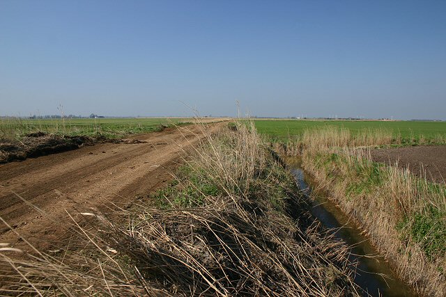
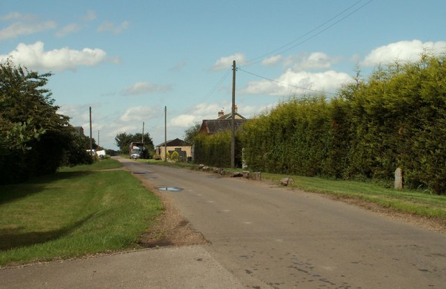
Chatteris Fen is a vast and captivating low-lying area located in the county of Cambridgeshire, England. Spanning over 6,000 acres, it is an extraordinary example of a fenland landscape, characterized by its flat and marshy terrain. The fen is divided into two distinct areas: Chatteris Downs and Chatteris Moorland.
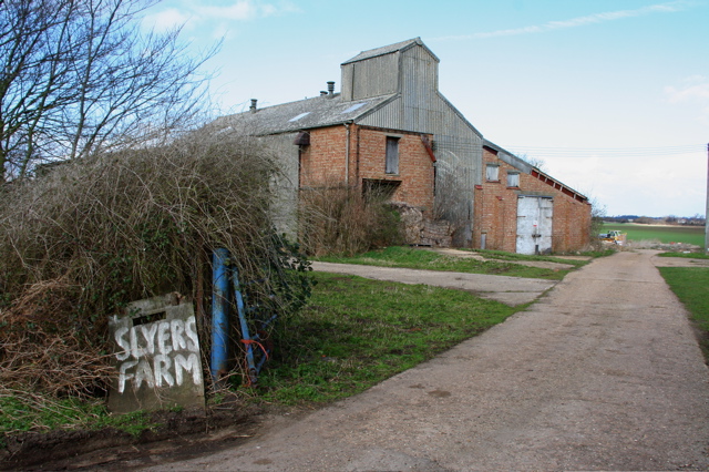
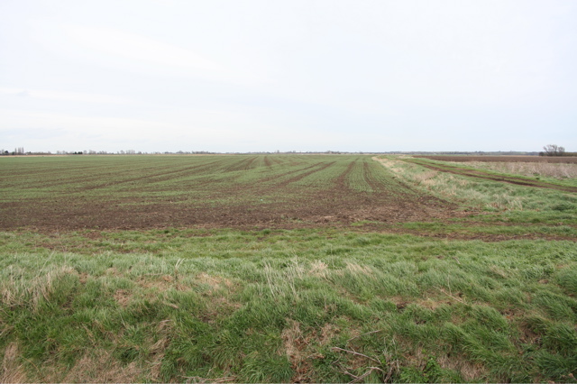
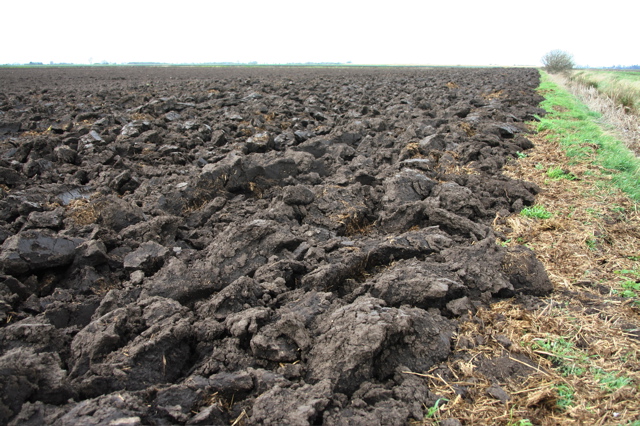
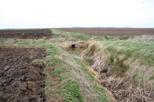
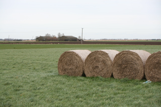
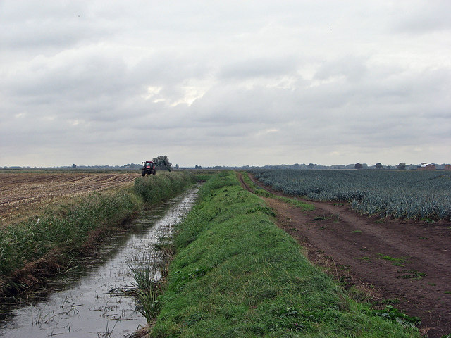
Chatteris Downs, occupying the northern part of the fen, is renowned for its rich, fertile soil, making it an ideal location for agriculture. The Downs are predominantly used for arable farming, with crops such as wheat, barley, and potatoes being cultivated in abundance. The landscape is dotted with picturesque farmlands, displaying a patchwork of vibrant colors throughout the seasons.
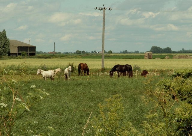
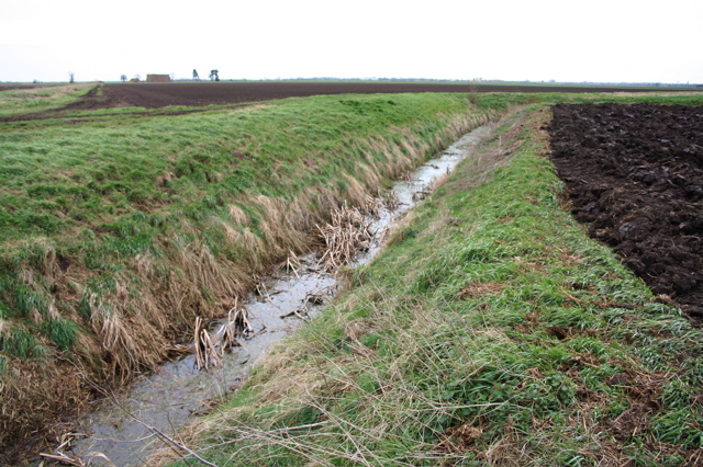
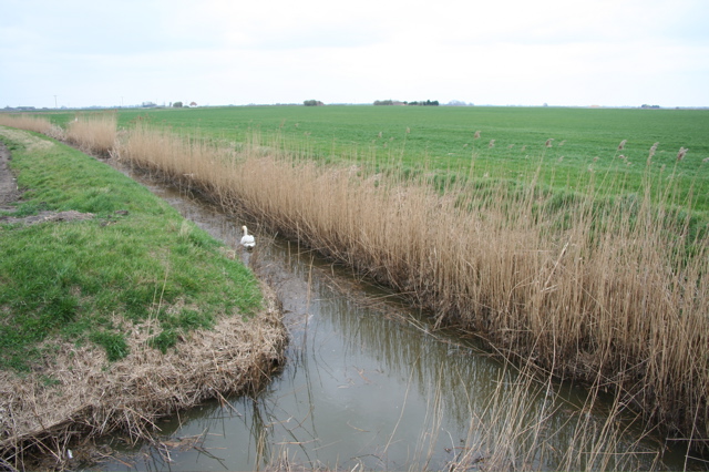
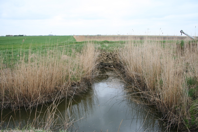
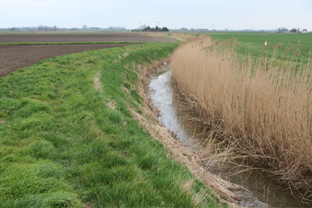
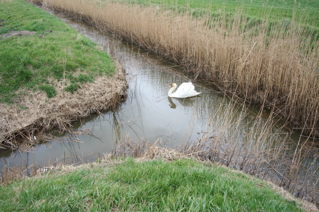
On the other hand, Chatteris Moorland, situated to the south, offers a captivating contrast to the Downs. This area features an extensive network of waterways, including rivers, dykes, and ditches, which provide a unique habitat for an array of wildlife. Visitors can witness the beauty of rare and endangered species, such as the bittern and the otter, as they thrive in the fen's diverse ecosystem.
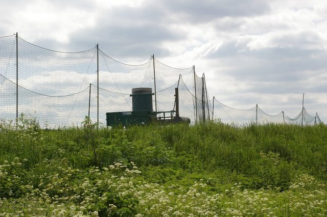
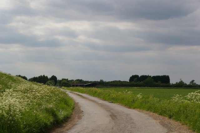
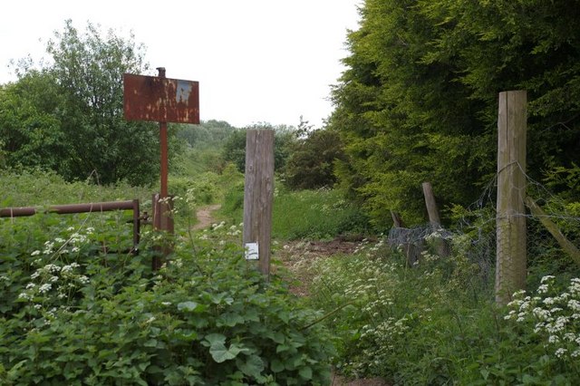
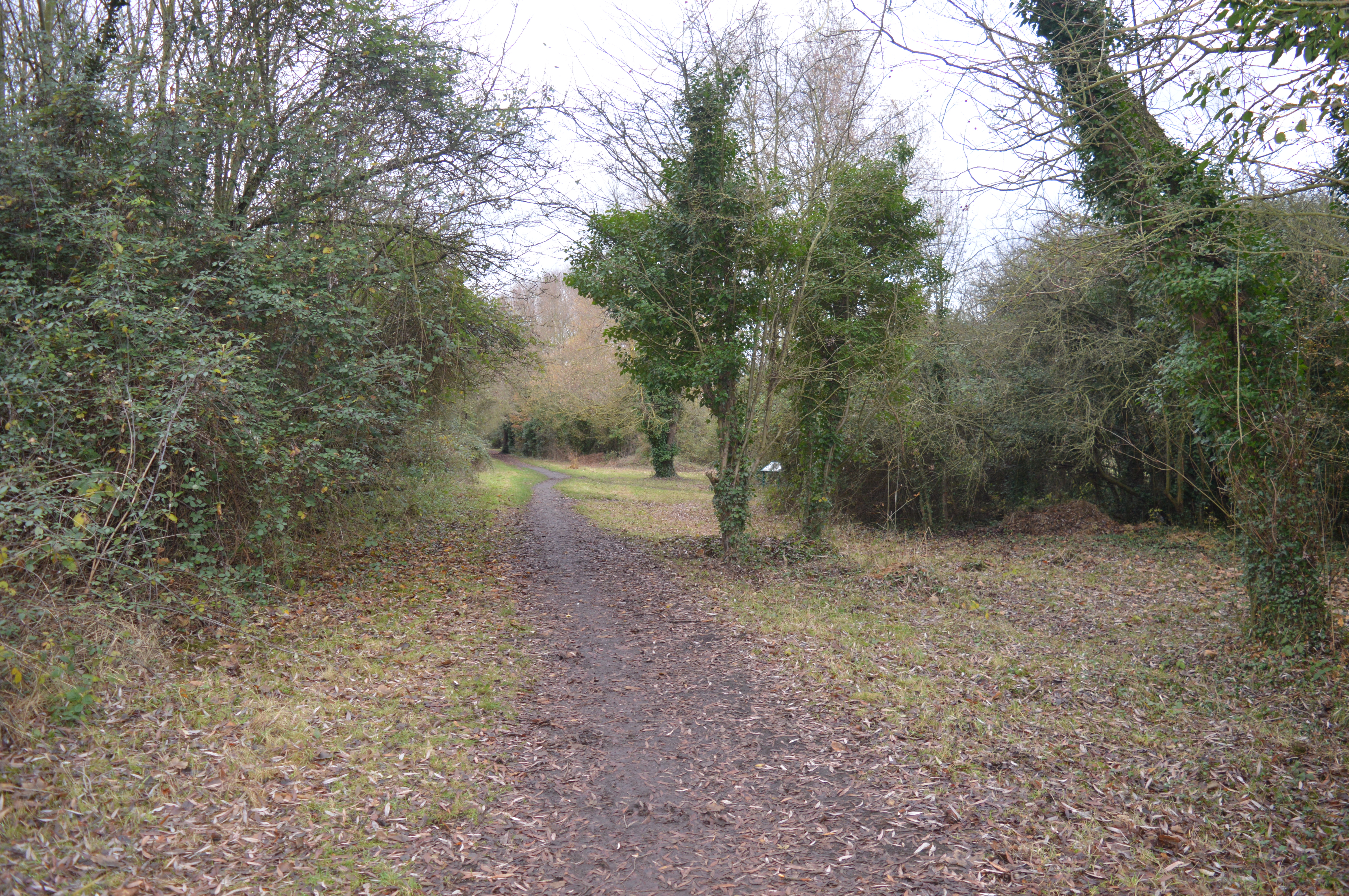
Chatteris Fen, with its stunning vistas and tranquil atmosphere, attracts nature enthusiasts and photographers from far and wide. Additionally, it offers a haven for birdwatchers, who flock to the area to witness the annual migration of countless species. The fen also provides recreational opportunities such as walking, cycling, and fishing, allowing visitors to immerse themselves in the natural wonders it has to offer.
Overall, Chatteris Fen is a captivating and diverse landscape, combining the productivity of the Downs with the natural beauty of the Moorland, creating a unique and enchanting destination for both locals and visitors alike.
If you have any feedback on the listing, please let us know in the comments section below.
Chatteris Fen Images
Images are sourced within 2km of 52.400856/0.039435754 or Grid Reference TL3880. Thanks to Geograph Open Source API. All images are credited.
Chatteris Fen is located at Grid Ref: TL3880 (Lat: 52.400856, Lng: 0.039435754)
Division: Isle of Ely
Administrative County: Cambridgeshire
District: Fenland
Police Authority: Cambridgeshire
What 3 Words
///thinker.marriage.ramps. Near Somersham, Cambridgeshire
Nearby Locations
Related Wikis
Somersham Local Nature Reserve
Somersham Local Nature Reserve is an 8.9 hectare Local Nature Reserve in Somersham in Cambridgeshire. It is owned and managed by Cambridgeshire County...

Somersham railway station
Somersham railway station was a station in Somersham, Cambridgeshire on the Great Eastern Railway between March and St Ives. There was also a branch line...

Tracked Hovercraft
Tracked Hovercraft was an experimental high-speed train developed in the United Kingdom during the 1960s. It combined two British inventions, the hovercraft...

Somersham
Somersham is a village and civil parish in Cambridgeshire, England. Somersham lies approximately 9 miles (14 km) east of Huntingdon and 4 miles (6 km)...

Somersham Town F.C.
Somersham Town Football Club is a football club based in Somersham, near St Ives in Cambridgeshire, England. They club are members of the Cambridgeshire...

Colne, Cambridgeshire
Colne is a village and civil parish in Cambridgeshire, England. Colne lies about 9 miles (14 km) east of Huntingdon; the villages of Bluntisham, Woodhurst...

Mepal
Mepal is a village in Cambridgeshire, England. Mepal is part of the East Cambridgeshire district, and is located just north of the A142 road between Ely...

Old Bedford River
The Old Bedford River is an artificial, partial diversion of the waters of the River Great Ouse in the Fens of Cambridgeshire, England. It was named after...
Nearby Amenities
Located within 500m of 52.400856,0.039435754Have you been to Chatteris Fen?
Leave your review of Chatteris Fen below (or comments, questions and feedback).