The Wilderness

Downs, Moorland in Surrey Mole Valley

England

The Wilderness

Boxhill and Westhumble Station
Boxhill and Westhumble Station Credit: Alex McGregor

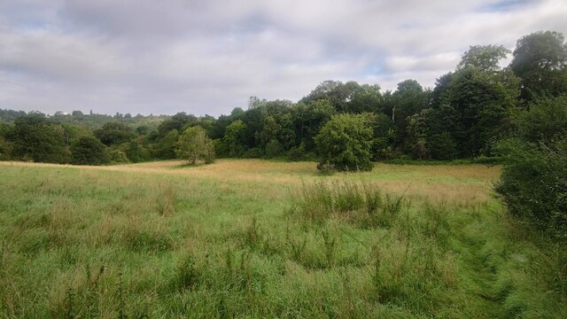
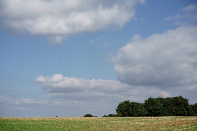
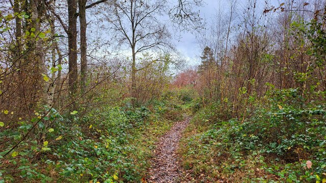
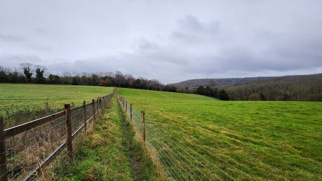
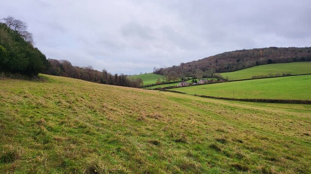
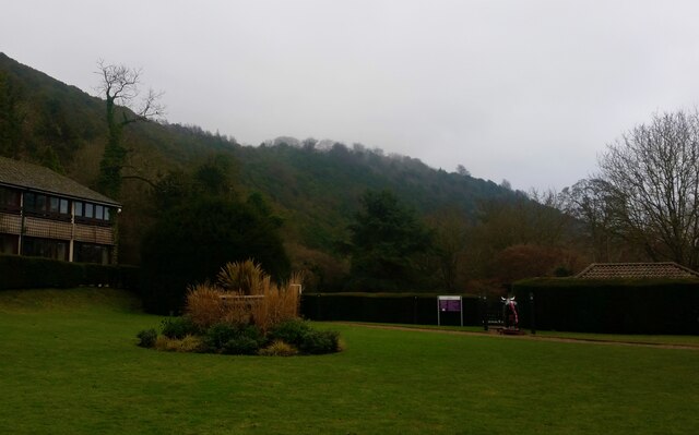
The Wilderness is an expansive natural area located in Surrey, England. It is characterized by its diverse landscape, encompassing downs and moorland. With its rolling hills, vast open spaces, and rich biodiversity, The Wilderness offers an idyllic escape from urban life.

Covering a significant area, The Wilderness is home to a multitude of plant and animal species. The downs are adorned with vibrant wildflowers, such as bluebells and buttercups, providing a colorful spectacle during the spring and summer months. The moorland, on the other hand, is characterized by heather and gorse, creating a beautiful purple and yellow tapestry across the landscape.

The Wilderness also boasts a rich wildlife population, making it a haven for nature enthusiasts. Visitors can spot various bird species, including skylarks and kestrels, soaring above the downs. The moorland is home to a diverse range of small mammals, such as rabbits and foxes, as well as reptiles like adders and common lizards.

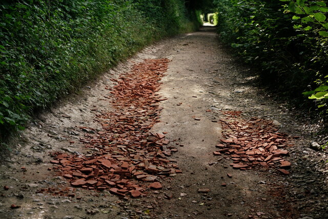
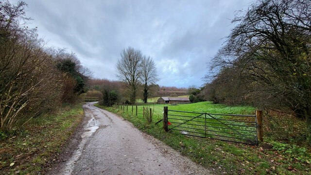
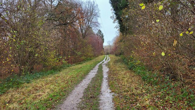
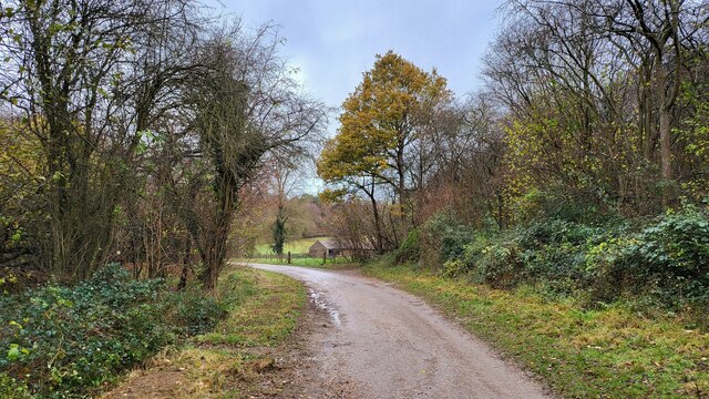
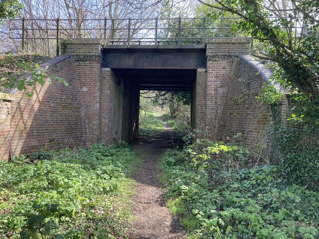
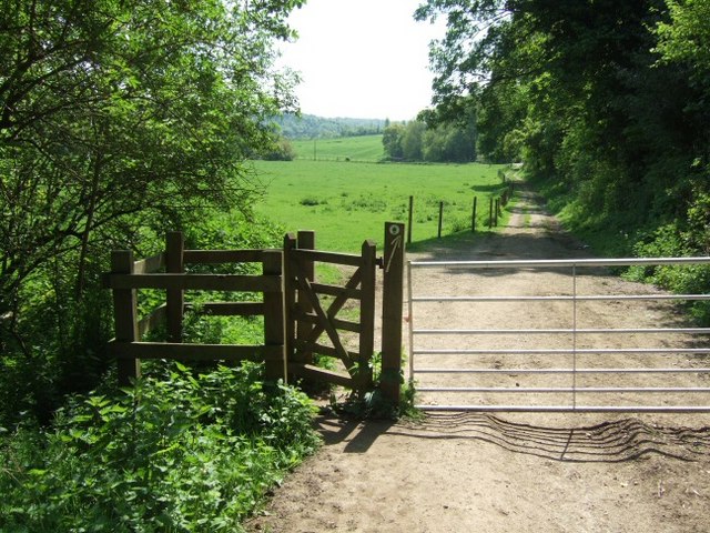
In addition to its natural beauty, The Wilderness offers numerous recreational activities. The well-maintained trails are perfect for walking, hiking, and cycling, providing visitors with an opportunity to explore the area's stunning vistas and diverse ecosystems. There are also designated picnic areas, allowing visitors to relax and enjoy a meal amidst the peaceful surroundings.

Overall, The Wilderness in Surrey is a remarkable natural area that showcases the beauty and diversity of the British countryside. Whether it's for a leisurely walk, birdwatching, or simply immersing oneself in nature, this expansive downs and moorland landscape offers a truly unforgettable experience.

If you have any feedback on the listing, please let us know in the comments section below.

The Wilderness Images

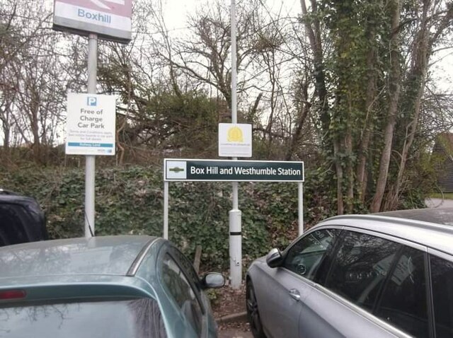
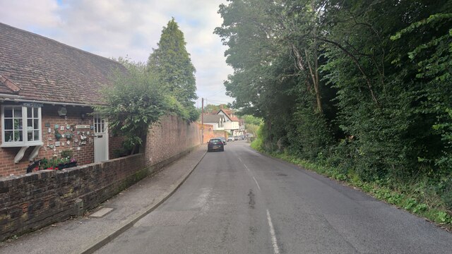
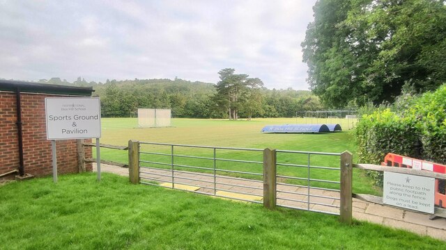
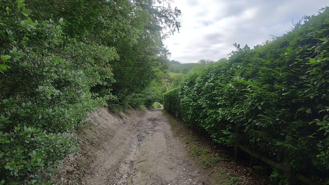
Images are sourced within 2km of 51.26326/-0.33137943 or Grid Reference TQ1652. Thanks to Geograph Open Source API. All images are credited.

Boxhill and Westhumble Station
Givons Grove - The Downs Entrance road from the A24 leatherhead bypass.
Givons Grove - The Downs
Entrance road from the A24 leatherhead bypass.
Westhumble Street Short side residential road off the main road with the same name.
Westhumble Street
Short side residential road off the main road with the same name.
Westhumble - Pilgrims Way Private road housing estate.
Westhumble - Pilgrims Way
Private road housing estate.
Mickleham - Old London Road
Box Hill School playing field Grounds next to Swanworth Farm
Box Hill School playing field
Grounds next to Swanworth Farm
Bridleway through Juniperhill Wood Part of Mickleham Downs near Headley Lane.
Bridleway through Juniperhill Wood
Part of Mickleham Downs near Headley Lane.
Field north of Fredley Manor Footpath on the right going to the Old London Road.
Field north of Fredley Manor
Footpath on the right going to the Old London Road.
View From Bookham Wood Looking in the direction of Norbury Park.
View From Bookham Wood
Looking in the direction of Norbury Park.
Track on Denshire Hill Behind the photographer, the track continues to Bocketts Farm.
Track on Denshire Hill
Behind the photographer, the track continues to Bocketts Farm.
Farm building and gate on the Fetcham Downs
Woodland track on Denshire Hill
Footpath on Denshire Hill Winter has arrived in the woods.
Footpath on Denshire Hill
Winter has arrived in the woods.
Public footpath near Phoenice Cottages Popular footpath through the stunning Surrey Hills.
Public footpath near Phoenice Cottages
Popular footpath through the stunning Surrey Hills.
Footpath towards Old Dene Cottages Entering grassland from Chapelhill Woods.
Footpath towards Old Dene Cottages
Entering grassland from Chapelhill Woods.
Bridleway on the Fetcham Downs
Mercure Box Hill Burford Bridge Hotel
Underbridge across Dorking and Leatherhead Railway Footpath Mickleham 18 leads off Mickleham footpath 4 immediately passing under the former Horsham, Dorking and Leatherhead Railway towards the A24 and Mickleham village.  The bridge is surprisingly capacious and perhaps once provided occupation access to the meadows along the east side of the river Mole.
Underbridge across Dorking and Leatherhead Railway
Footpath Mickleham 18 leads off Mickleham footpath 4 immediately passing under the former Horsham, Dorking and Leatherhead Railway towards the A24 and Mickleham village. The bridge is surprisingly capacious and perhaps once provided occupation access to the meadows along the east side of the river Mole.
Show me another place!

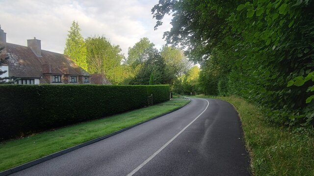
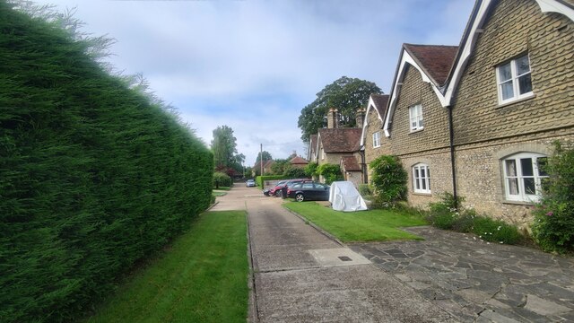
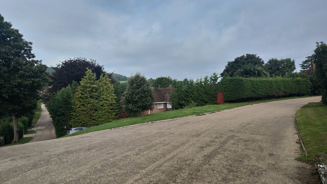
The Wilderness is located at Grid Ref: TQ1652 (Lat: 51.26326, Lng: -0.33137943)

Administrative County: Surrey

District: Mole Valley

Police Authority: Surrey

What 3 Words

///bowls.leaps.steep. Near Dorking, Surrey

Related Wikis

Mole Valley (UK Parliament constituency)

Mole Valley is a constituency in Surrey represented in the House of Commons of the UK Parliament since 1997 by Sir Paul Beresford, a Conservative.Further...

Mole Gap Trail

The Mole Gap Trail is a 10-kilometre (6.2 mi) official walking route alongside the River Mole, linking the Surrey towns of Dorking and Leatherhead. The...

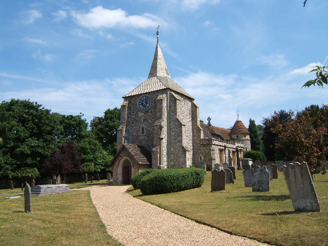
St. Michael's Churchyard, Mickleham

St. Michael's Churchyard is the church and graveyard located in Mickleham, Surrey, England, belonging to the Church of England parish of Mickleham. �...

Juniper Hall

Juniper Hall FSC Field Centre is an 18th-century country house, leased from the National Trust, on the east slopes of Mickleham in the deep Mole Gap of...

Nearby Amenities

Located within 500m of 51.26326,-0.33137943
Barrier: stile
Lat/Long: 51.2613124/-0.3271507
Bus Stop
The Villa
Bus: yes
Naptan AtcoCode: 40004408239A
Naptan Bearing: NW
Naptan CommonName: Juniper Hill Nurseries
Naptan Indicator: adj
Naptan Landmark: North Downs Way
Naptan NaptanCode: surdatjd
Naptan Street: Old London Road
Naptan Verified: no
Public Transport: platform
Ref: 50800
Source: naptan_import
Website: http://nextbuses.mobi/WebView/BusStopSearch/BusStopSearchResults/surdatjd?currentPage=0
Wheelchair: limited
Wheelchair Description: No nearby dipped kerb. No bus stop sign opposite.
Lat/Long: 51.263764/-0.3245238
Barrier: kissing_gate
Foot: yes
Lat/Long: 51.2636934/-0.3360083
Barrier: kissing_gate
Lat/Long: 51.26183/-0.3319935
Addr Housename: Michaelas Cottage
Lat/Long: 51.261369/-0.3257769
Addr Housename: The Coach House
Lat/Long: 51.2611388/-0.3260228
Barrier: kissing_gate
Bicycle: no
Foot: yes
Horse: no
Material: metal
Motor Vehicle: no
Wheelchair: limited
Lat/Long: 51.2592043/-0.3335311
The data included in this document is from www.openstreetmap.org. The data is made available under ODbL.

Have you been to The Wilderness?

Leave your review of The Wilderness below (or comments, questions and feedback).