Foxbury Shaw

Wood, Forest in Surrey Mole Valley

England

Foxbury Shaw

Pixham Mill Cottage 17th Century cottage adjacent to Pixham Mill (in background - see <a href="https://www.geograph.org.uk/photo/6916132">TQ1750 : Pixham Mill</a>).  Grade II listed - see <span class="nowrap"><a title="www.historicengland.org.uk/listing/the-list/list-entry/1228834" rel="nofollow ugc noopener" href="http://www.historicengland.org.uk/listing/the-list/list-entry/1228834">Link</a><img style="margin-left:2px;" alt="External link" title="External link - shift click to open in new window" src="https://s1.geograph.org.uk/img/external.png" width="10" height="10"/></span>.
Pixham Mill Cottage Credit: Ian Capper

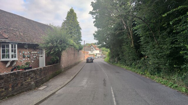
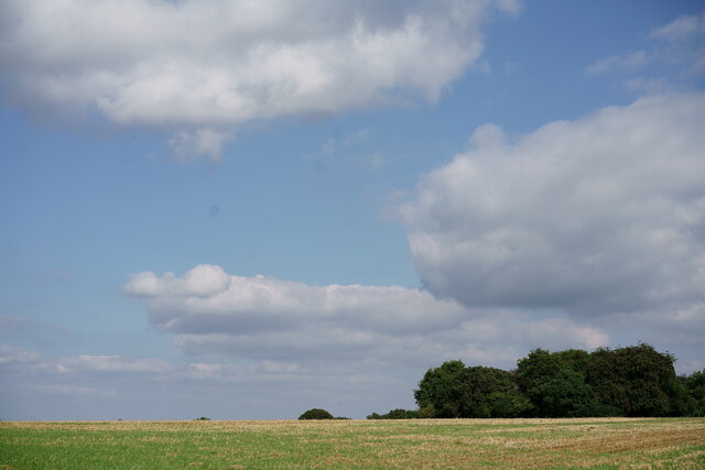
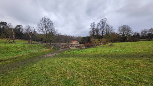
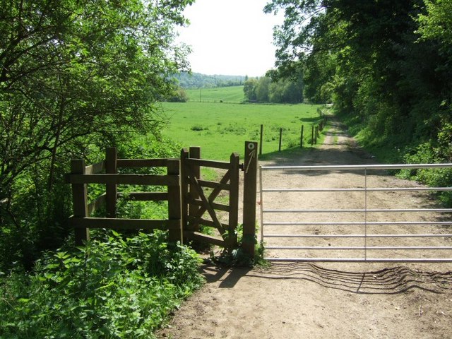
Foxbury Shaw is a picturesque woodland area located in Surrey, England. Nestled in the heart of the county, this woodland marvel stretches across vast acres of land, offering visitors a tranquil and serene escape from the bustling city life.

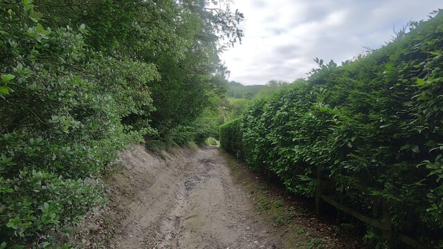
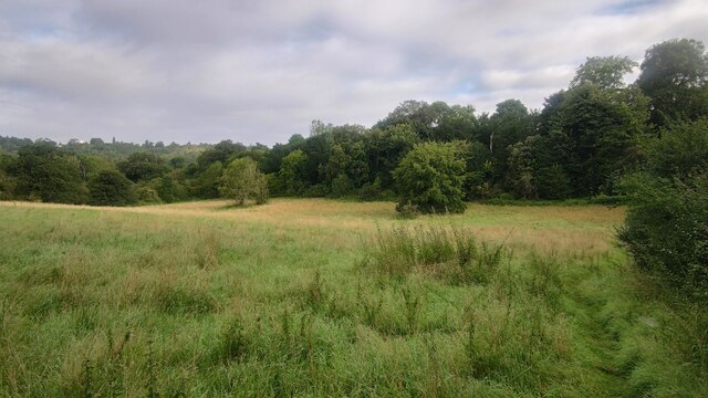
The forest is predominantly characterized by its dense canopy of trees, comprising a diverse range of species such as oak, birch, and beech. These towering giants create a rich and vibrant ecosystem, providing habitat for a myriad of wildlife including deer, squirrels, and a variety of bird species.

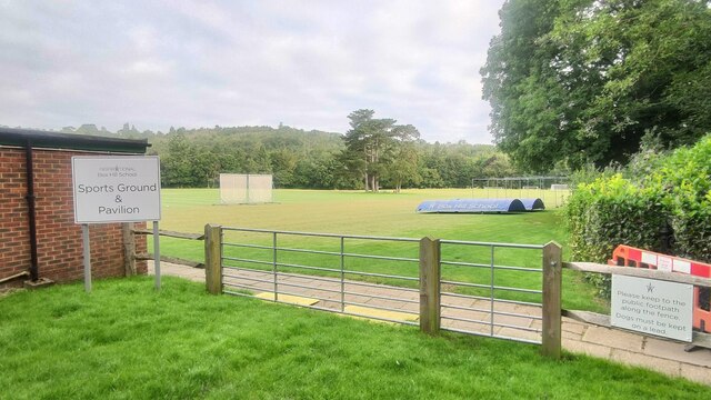
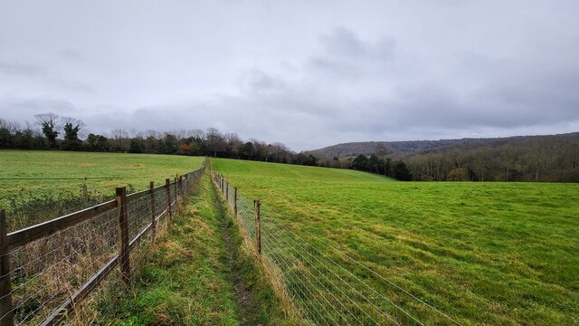
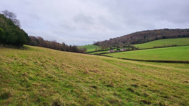
Foxbury Shaw is a popular destination for nature enthusiasts, hikers, and birdwatchers alike. The woodland boasts an extensive network of walking trails, allowing visitors to explore its natural wonders at their own pace. The trails wind through the forest, offering breathtaking views of the surrounding landscape and providing opportunities to spot rare and unique flora and fauna.

The woodland is also home to a number of natural features, including a babbling brook that meanders through the heart of the forest, adding to its enchanting ambiance. Visitors can enjoy picnicking by the water's edge, listening to the soothing sounds of nature.

Located just a short distance from nearby towns and villages, Foxbury Shaw is easily accessible for both locals and tourists. Its peaceful and idyllic setting makes it a popular destination for those seeking solace in nature and a chance to reconnect with the great outdoors.

If you have any feedback on the listing, please let us know in the comments section below.
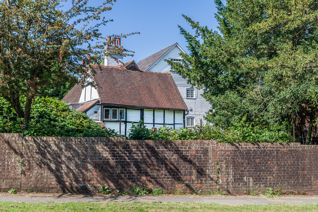
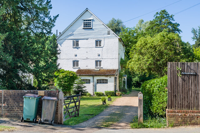
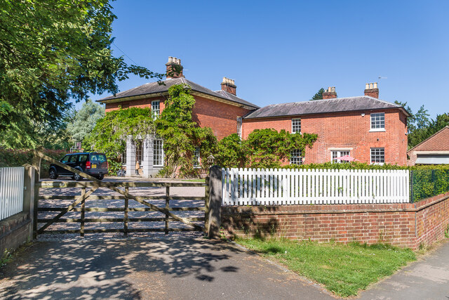
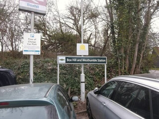
Foxbury Shaw Images

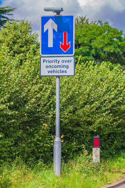
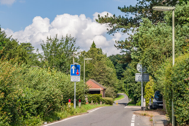
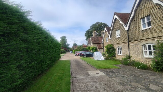
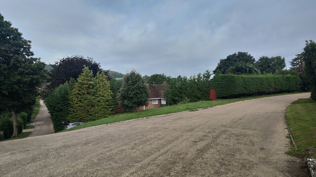
Images are sourced within 2km of 51.257459/-0.3338825 or Grid Reference TQ1652. Thanks to Geograph Open Source API. All images are credited.

Pixham Mill Cottage 17th Century cottage adjacent to Pixham Mill (in background - see <a href="https://www.geograph.org.uk/photo/6916132">TQ1750 : Pixham Mill</a>).  Grade II listed - see <span class="nowrap"><a title="www.historicengland.org.uk/listing/the-list/list-entry/1228834" rel="nofollow ugc noopener" href="http://www.historicengland.org.uk/listing/the-list/list-entry/1228834">Link</a><img style="margin-left:2px;" alt="External link" title="External link - shift click to open in new window" src="https://s1.geograph.org.uk/img/external.png" width="10" height="10"/></span>.
Pixham Mill Cottage
17th Century cottage adjacent to Pixham Mill (in background - see TQ1750 : Pixham Mill). Grade II listed - see LinkExternal link.
Pixham Mill Mill building alongside the Pipp Brook, built in 1837.  In its final years, up to ceasing operating in 1910, it was used by local firm Attlee's.  It is now in residential use.  Grade II listed - see <span class="nowrap"><a title="www.historicengland.org.uk/listing/the-list/list-entry/1229433" rel="nofollow ugc noopener" href="http://www.historicengland.org.uk/listing/the-list/list-entry/1229433">Link</a><img style="margin-left:2px;" alt="External link" title="External link - shift click to open in new window" src="https://s1.geograph.org.uk/img/external.png" width="10" height="10"/></span>.
Pixham Mill
Mill building alongside the Pipp Brook, built in 1837. In its final years, up to ceasing operating in 1910, it was used by local firm Attlee's. It is now in residential use. Grade II listed - see LinkExternal link.
Pixham Mill House Large house built in c.1839.  Grade II listed - see <span class="nowrap"><a title="www.historicengland.org.uk/listing/the-list/list-entry/1271210" rel="nofollow ugc noopener" href="http://www.historicengland.org.uk/listing/the-list/list-entry/1271210">Link</a><img style="margin-left:2px;" alt="External link" title="External link - shift click to open in new window" src="https://s1.geograph.org.uk/img/external.png" width="10" height="10"/></span>.
Pixham Mill House
Large house built in c.1839. Grade II listed - see LinkExternal link.
Boxhill and Westhumble Station
Corrected road sign See <a href="https://www.geograph.org.uk/photo/6870213">TQ1750 : Incorrect road sign</a>.  Within a week of the incorrect sign in that photo being reported to Surrey County Council, it was replaced with the correct version, as seen here.  For a wider view see <a href="https://www.geograph.org.uk/photo/6923913">TQ1750 : Pixham Lane</a>.
Corrected road sign
See TQ1750 : Incorrect road sign. Within a week of the incorrect sign in that photo being reported to Surrey County Council, it was replaced with the correct version, as seen here. For a wider view see TQ1750 : Pixham Lane.
Pixham Lane Looking north along Pixham Lane near Pixham Sports ground. The pinchpoint here was one of a number of measures introduced in the early 2000s in an attempt to control speed along the lane, following the removal of an experimental road closure in early 2003 which (predictably) caused traffic chaos over a large area.

Compare <a href="https://www.geograph.org.uk/photo/6870203">TQ1750 : Pixham Lane</a>.  Within a week of the incorrect sign in that photo being reported to Surrey County Council, it was replaced with the correct version, as seen here.  For a close up of the sign see <a href="https://www.geograph.org.uk/photo/6923907">TQ1750 : Corrected road sign</a>.
Pixham Lane
Looking north along Pixham Lane near Pixham Sports ground. The pinchpoint here was one of a number of measures introduced in the early 2000s in an attempt to control speed along the lane, following the removal of an experimental road closure in early 2003 which (predictably) caused traffic chaos over a large area. Compare TQ1750 : Pixham Lane. Within a week of the incorrect sign in that photo being reported to Surrey County Council, it was replaced with the correct version, as seen here. For a close up of the sign see TQ1750 : Corrected road sign.
Westhumble Street Short side residential road off the main road with the same name.
Westhumble Street
Short side residential road off the main road with the same name.
Westhumble - Pilgrims Way Private road housing estate.
Westhumble - Pilgrims Way
Private road housing estate.
Mickleham - Old London Road
Box Hill School playing field Grounds next to Swanworth Farm
Box Hill School playing field
Grounds next to Swanworth Farm
Bridleway through Juniperhill Wood Part of Mickleham Downs near Headley Lane.
Bridleway through Juniperhill Wood
Part of Mickleham Downs near Headley Lane.
Field north of Fredley Manor Footpath on the right going to the Old London Road.
Field north of Fredley Manor
Footpath on the right going to the Old London Road.
View From Denbies Vineyard The vineyard buildings, in the middle distance, are surrounded by vines. In the distance are the wooded slopes of Box Hill.
View From Denbies Vineyard
The vineyard buildings, in the middle distance, are surrounded by vines. In the distance are the wooded slopes of Box Hill.
View From Bookham Wood Looking in the direction of Norbury Park.
View From Bookham Wood
Looking in the direction of Norbury Park.
Bagden Farm Major works in progress at Bagden Farm.
Bagden Farm
Major works in progress at Bagden Farm.
Public footpath near Phoenice Cottages Popular footpath through the stunning Surrey Hills.
Public footpath near Phoenice Cottages
Popular footpath through the stunning Surrey Hills.
Footpath towards Old Dene Cottages Entering grassland from Chapelhill Woods.
Footpath towards Old Dene Cottages
Entering grassland from Chapelhill Woods.
Keepers Cottage Property on the northern edge of Ranmore Common. Ranmore Common Road is a rural lane with passing places.
Keepers Cottage
Property on the northern edge of Ranmore Common. Ranmore Common Road is a rural lane with passing places.
Show me another place!

Foxbury Shaw is located at Grid Ref: TQ1652 (Lat: 51.257459, Lng: -0.3338825)

Administrative County: Surrey

District: Mole Valley

Police Authority: Surrey

What 3 Words

///breed.test.unrealistic. Near Dorking, Surrey

Related Wikis

Westhumble

Westhumble is a village in south east England, approximately 2 km (1.2 mi) north of Dorking, Surrey. The village is not part of a civil parish, however...

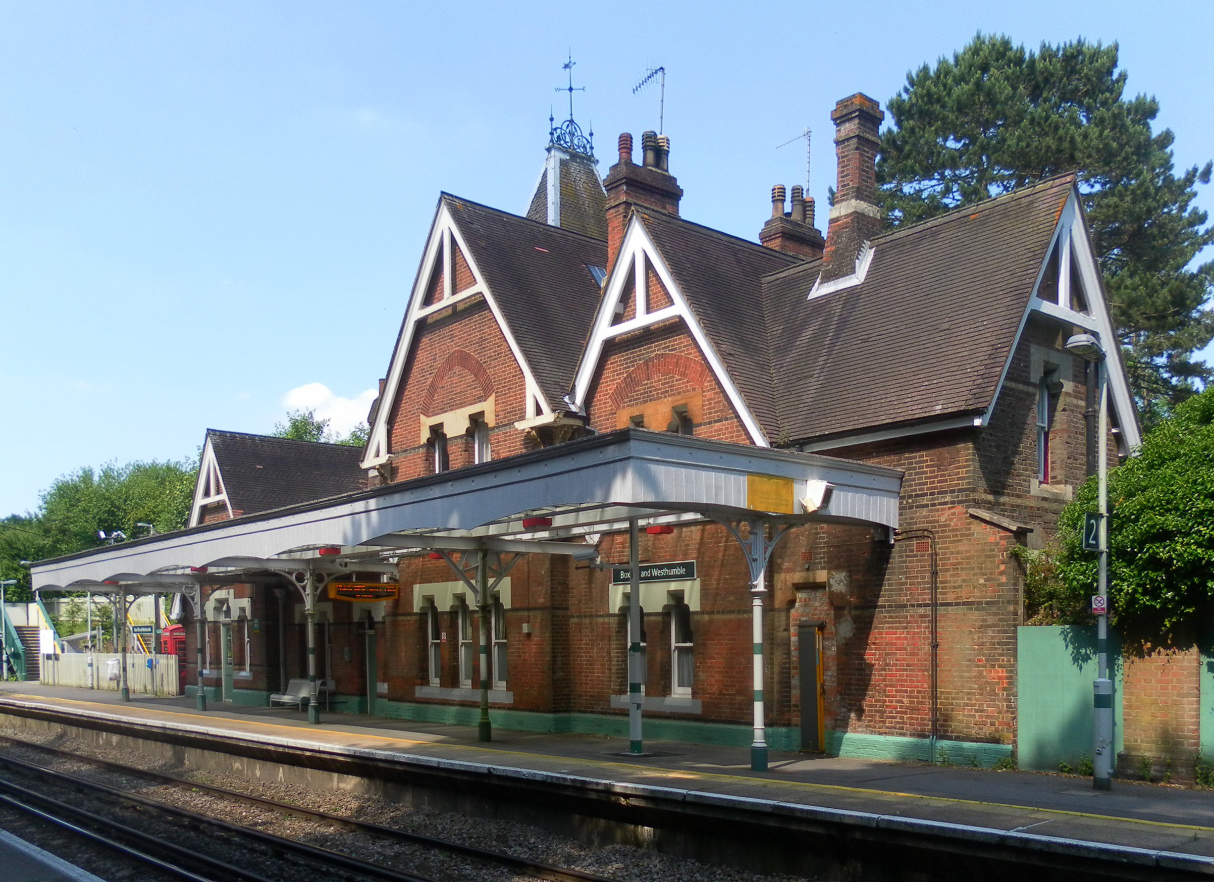
Box Hill & Westhumble railway station

Box Hill & Westhumble is a railway station in the village of Westhumble in Surrey, England, approximately 2 miles (3.2 km) north of Dorking town centre...

Mole Gap Trail

The Mole Gap Trail is a 10-kilometre (6.2 mi) official walking route alongside the River Mole, linking the Surrey towns of Dorking and Leatherhead. The...

Burford Bridge Hotel

Burford Bridge Hotel is a historic hotel at the edge of the village of Mickleham, Surrey, England. It is to the south of Leatherhead and north of Dorking...

Nearby Amenities

Located within 500m of 51.257459,-0.3338825
Source: Landsat photo
Lat/Long: 51.2564333/-0.3292081
Barrier: kissing_gate
Lat/Long: 51.2552284/-0.3291349
Barrier: kissing_gate
Material: metal
Wheelchair: limited
Lat/Long: 51.2585189/-0.3352005
Bench
Backrest: yes
Mapillary: 288256709509576
Survey Date: 2018-02-11
Lat/Long: 51.2562965/-0.3310249
Bench
Lat/Long: 51.2546766/-0.3291876
Post Box
Collection Times: Mo-Fr 09:00; Sa 07:00
Operator: Royal Mail
Post Box Type: wall
Ref: RH4 96D
Royal Cypher: GR
Royal Cypher Wikidata: Q33102273
Lat/Long: 51.2550103/-0.3393479
Barrier: kissing_gate
Lat/Long: 51.2558575/-0.3307279
Source: Landsat photo
Lat/Long: 51.2564379/-0.3291442
Fanny Burney
Historic: memorial
Memorial: plaque
Lat/Long: 51.2546809/-0.3293983
Addr Housename: Cleveland Farm Cottages
Addr Housenumber: 2
Lat/Long: 51.2546924/-0.3283796
Addr Housenumber: 1
Lat/Long: 51.2546039/-0.3283531
Ford: yes
Lat/Long: 51.2585138/-0.3312868
Foxbury Shaw
Natural: wood
Lat/Long: 51.2581636/-0.3354684
Nicols Field
Natural: wood
Lat/Long: 51.2595928/-0.3356617
Fountain
Lat/Long: 51.2543527/-0.3325605
Addr Housename: Griffins
Lat/Long: 51.2551177/-0.3354129
Addr Housename: Oakburn
Lat/Long: 51.2543987/-0.329351
Addr Housename: Hillcote
Lat/Long: 51.2543775/-0.3294491
Addr Housename: Camilla Lacey Cottage
Lat/Long: 51.2543549/-0.3295355
Barrier: kissing_gate
Bicycle: no
Foot: yes
Horse: no
Material: metal
Motor Vehicle: no
Wheelchair: limited
Lat/Long: 51.2592043/-0.3335311
Direction: 170
Generator Method: photovoltaic
Generator Output Electricity: yes
Generator Solar Modules: 16
Generator Source: solar
Generator Type: solar_photovoltaic_panel
Location: roof
Power: generator
Lat/Long: 51.2541481/-0.3315364
The data included in this document is from www.openstreetmap.org. The data is made available under ODbL.

Have you been to Foxbury Shaw?

Leave your review of Foxbury Shaw below (or comments, questions and feedback).