The Pickering Plantation
Downs, Moorland in Surrey Mole Valley
England
The Pickering Plantation
The Pickering Plantation, located in Surrey, specifically in the areas of Downs and Moorland, is a historically significant site that offers a glimpse into the region's rich past. This plantation holds great importance due to its association with the Pickering family, who were prominent landowners in Surrey during the 18th and 19th centuries.
The Pickering Plantation is known for its stunning architectural features, showcasing the grandeur and elegance of the Georgian period. The main house, constructed in the Georgian style, boasts intricate detailing and a symmetrical design. The surrounding gardens and grounds are meticulously maintained, further enhancing the overall charm of the plantation.
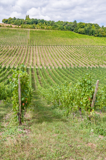
The plantation also holds historical significance with its agricultural practices. It was one of the major centers of silk production in the region during the 18th century. The Pickering family played a vital role in promoting and expanding silk production, making the plantation a hub of activity for sericulture.
Today, the Pickering Plantation stands as a testament to the region's past and serves as a popular tourist attraction. Visitors can explore the beautifully preserved house and gardens, giving them a glimpse into the lives of the affluent landowners of the time. Guided tours provide in-depth information about the history and significance of the plantation.
The Pickering Plantation in Surrey is a must-visit destination for history enthusiasts and anyone interested in experiencing the grandeur of the Georgian era. It offers a unique opportunity to step back in time and appreciate the beauty and cultural heritage of the region.
If you have any feedback on the listing, please let us know in the comments section below.
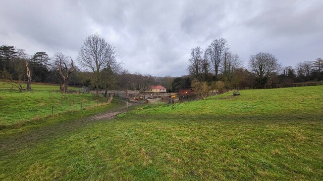
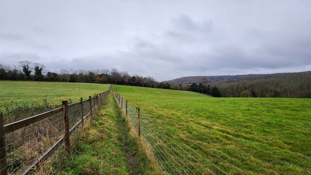
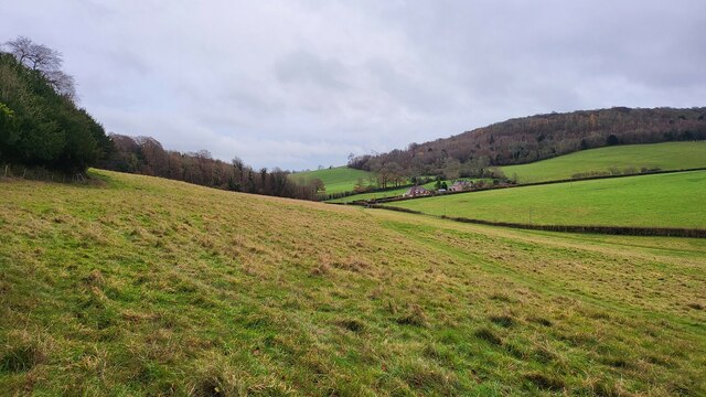
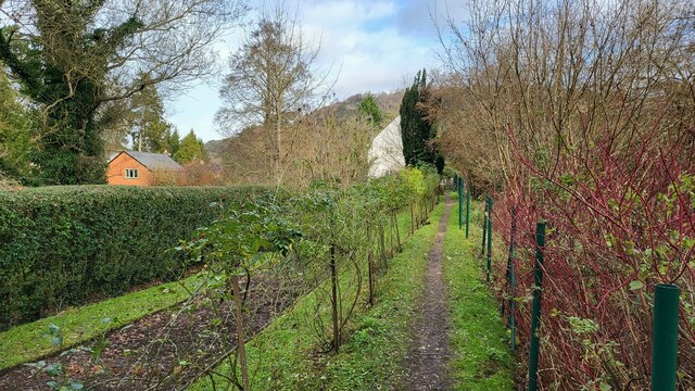
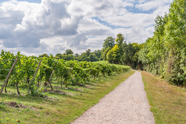
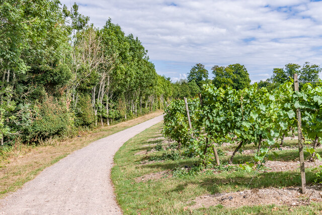
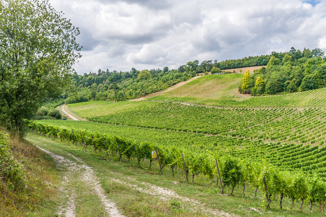
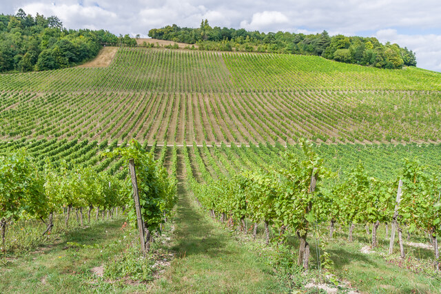
The Pickering Plantation Images
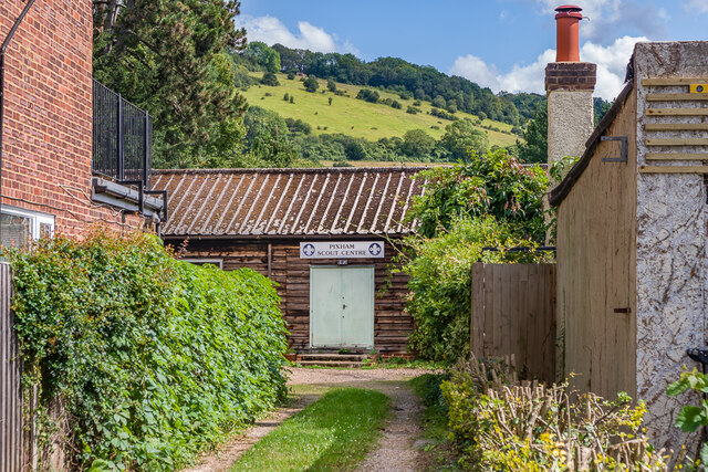
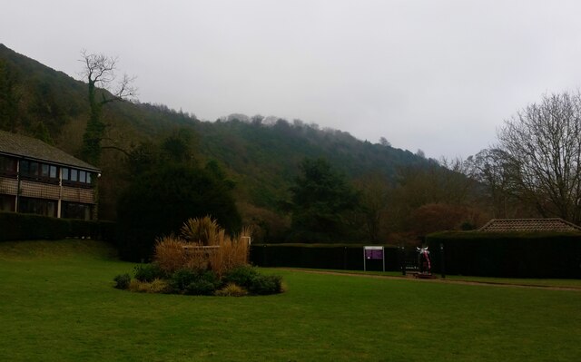
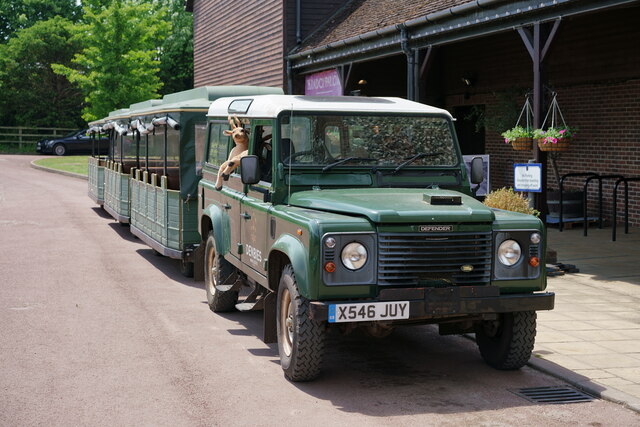
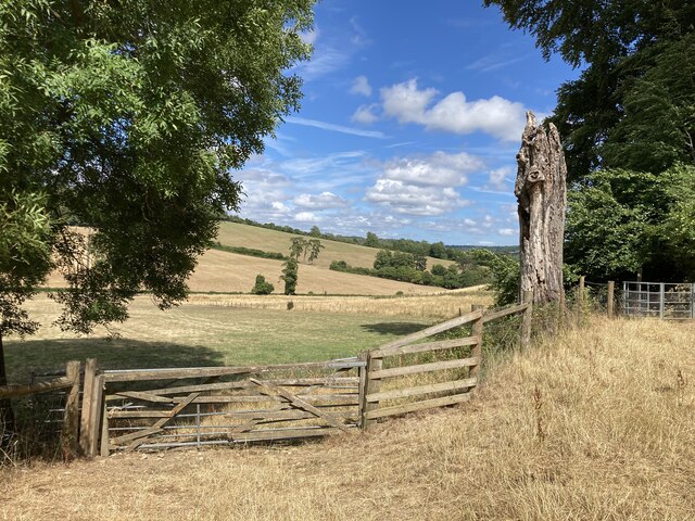
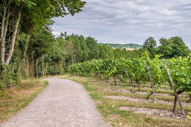
Images are sourced within 2km of 51.256161/-0.33046131 or Grid Reference TQ1652. Thanks to Geograph Open Source API. All images are credited.

The Pickering Plantation is located at Grid Ref: TQ1652 (Lat: 51.256161, Lng: -0.33046131)
Administrative County: Surrey
District: Mole Valley
Police Authority: Surrey
What 3 Words
///zoom.horn.vent. Near Dorking, Surrey
Nearby Locations
Related Wikis
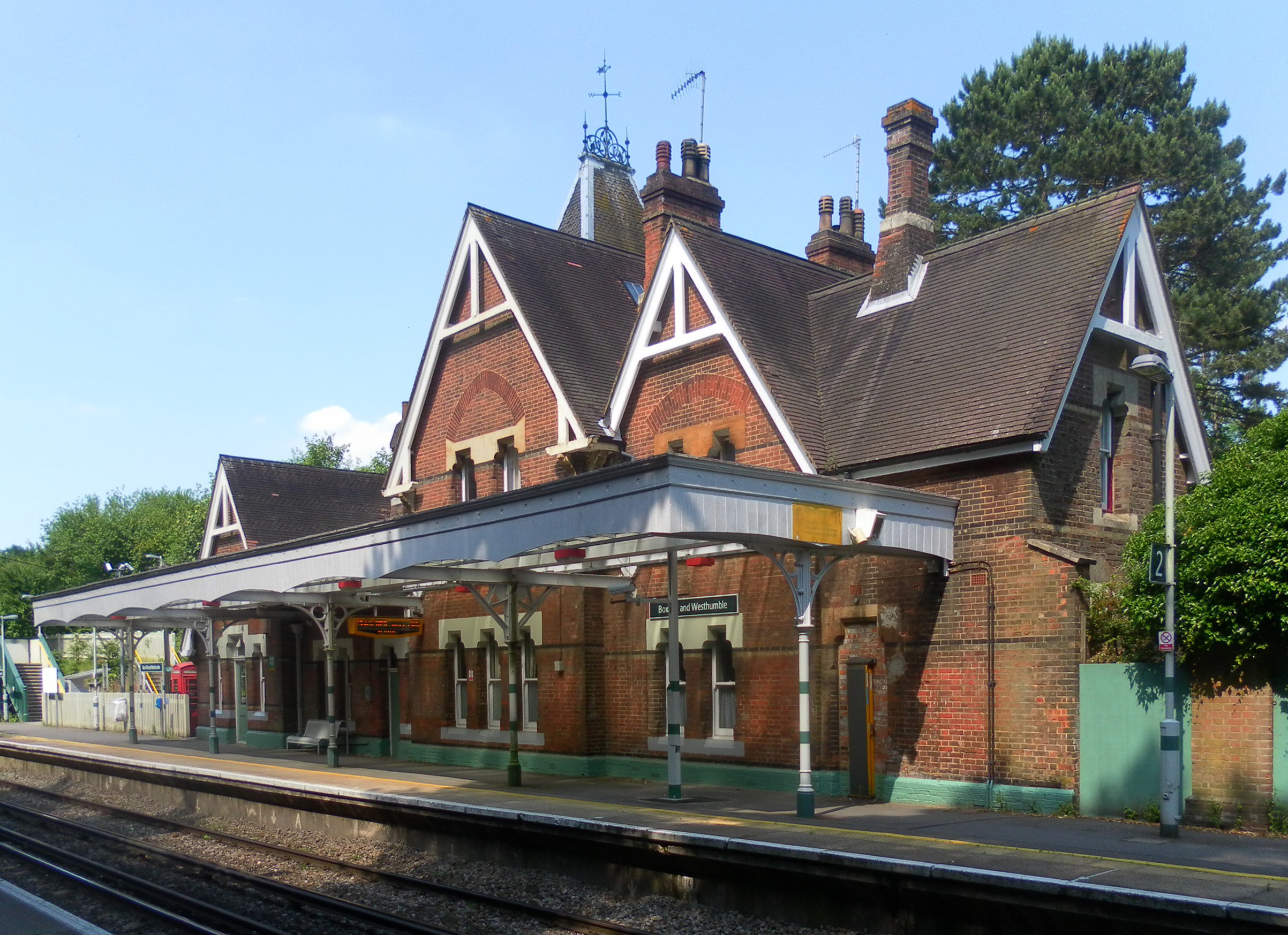
Box Hill & Westhumble railway station
Box Hill & Westhumble is a railway station in the village of Westhumble in Surrey, England, approximately 2 miles (3.2 km) north of Dorking town centre...

Westhumble
Westhumble is a village in south east England, approximately 2 km (1.2 mi) north of Dorking, Surrey. The village is not part of a civil parish, however...

Burford Bridge Hotel
Burford Bridge Hotel is a historic hotel at the edge of the village of Mickleham, Surrey, England. It is to the south of Leatherhead and north of Dorking...

Surrey Hills National Landscape
The Surrey Hills National Landscape is a 422 km2 (163 sq mi) National Landscape in Surrey, England, which principally covers parts of the North Downs...
Nearby Amenities
Located within 500m of 51.256161,-0.33046131Have you been to The Pickering Plantation?
Leave your review of The Pickering Plantation below (or comments, questions and feedback).