Fredley
Settlement in Surrey Mole Valley
England
Fredley
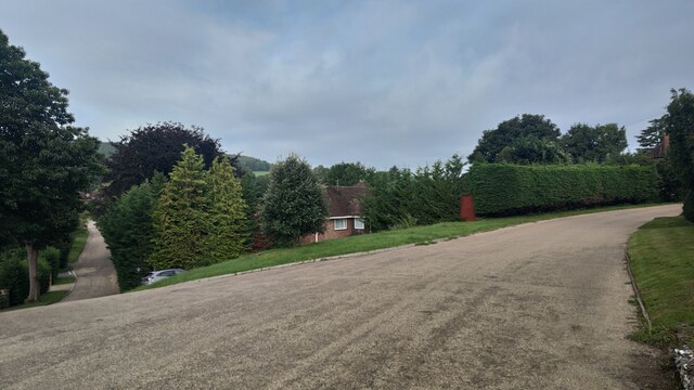
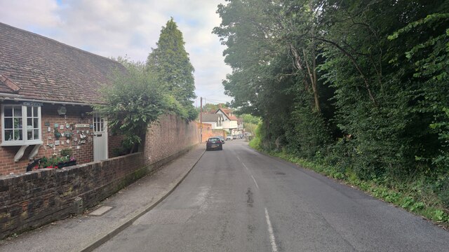
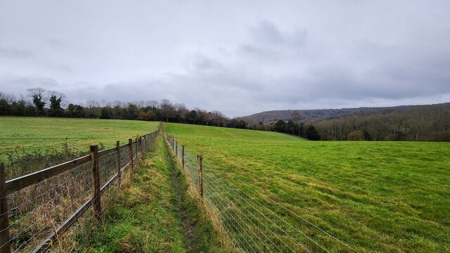
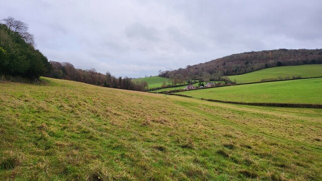
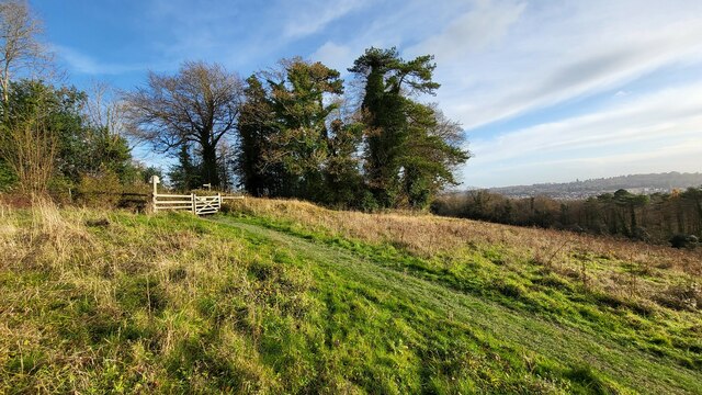
Fredley is a small village located in the county of Surrey, England. Situated in the southeastern part of the country, it lies approximately 30 miles south of London. The village is nestled within the picturesque Surrey Hills, an Area of Outstanding Natural Beauty, which contributes to its tranquil and scenic surroundings.
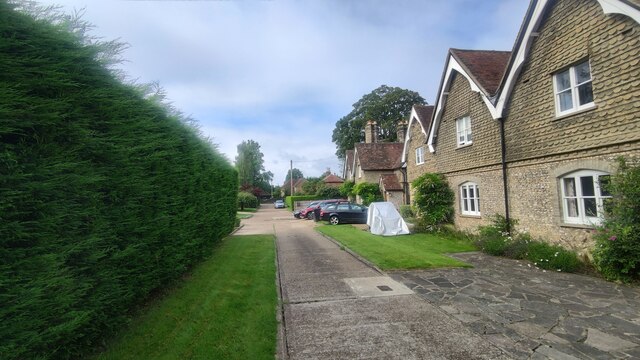
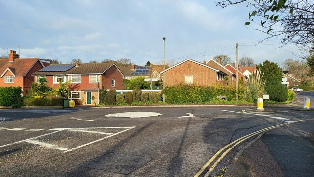
The population of Fredley is relatively small, with just over 500 residents. The village is known for its close-knit community and friendly atmosphere, making it an ideal place for those seeking a peaceful rural lifestyle. The architecture in Fredley is predominantly traditional English cottages, adding to the village's charm and character.
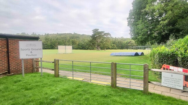
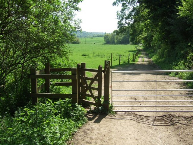
Despite its small size, Fredley offers a range of amenities to its residents. There is a local village shop that provides essential groceries and daily necessities. Additionally, the village boasts a cozy pub where locals and visitors can gather for a pint or a meal. For recreational activities, Fredley is surrounded by an extensive network of footpaths and bridleways, making it an attractive destination for hikers and nature enthusiasts.
Fredley's location provides easy access to larger towns and cities in the region. The nearby town of Dorking is just a short drive away and offers a wider range of services, including shopping centers, supermarkets, and schools. The village is also well-connected by public transportation, with regular bus services to neighboring towns.
Overall, Fredley offers a serene and idyllic setting for those seeking a peaceful countryside lifestyle, with its beautiful natural surroundings and tight-knit community spirit.
If you have any feedback on the listing, please let us know in the comments section below.
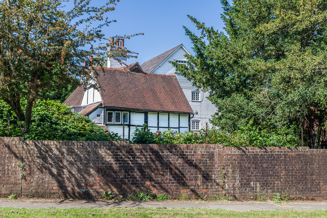
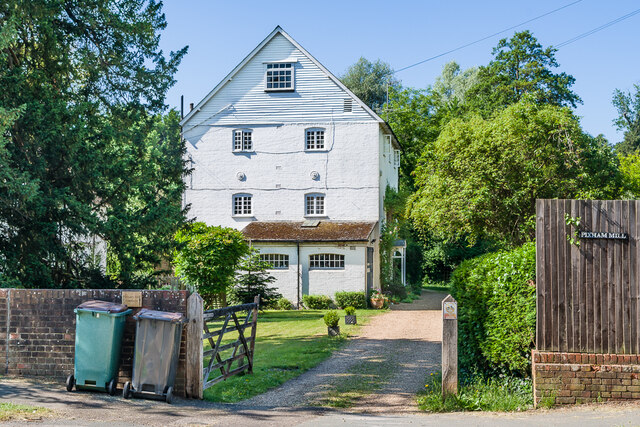
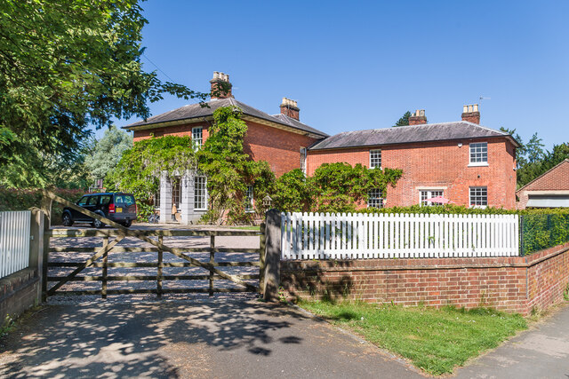
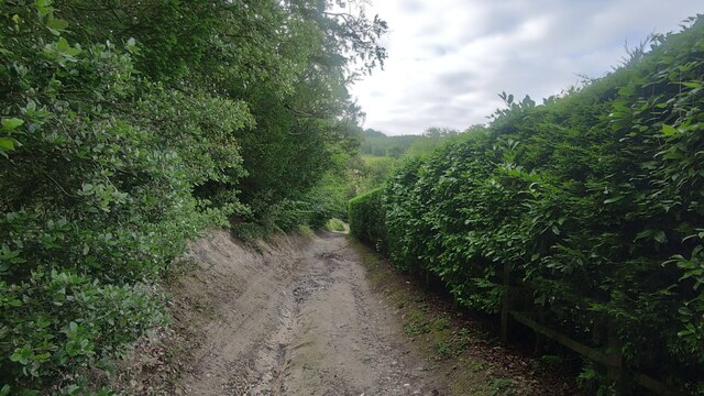
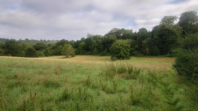
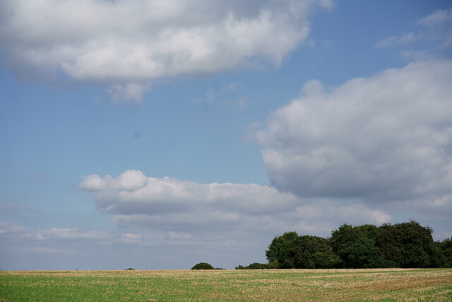
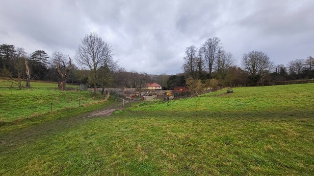
Fredley Images
Images are sourced within 2km of 51.255375/-0.3391026 or Grid Reference TQ1652. Thanks to Geograph Open Source API. All images are credited.


Fredley is located at Grid Ref: TQ1652 (Lat: 51.255375, Lng: -0.3391026)
Administrative County: Surrey
District: Mole Valley
Police Authority: Surrey
What 3 Words
///shout.gender.weedy. Near Dorking, Surrey
Nearby Locations
Related Wikis

Westhumble
Westhumble is a village in south east England, approximately 2 km (1.2 mi) north of Dorking, Surrey. The village is not part of a civil parish, however...

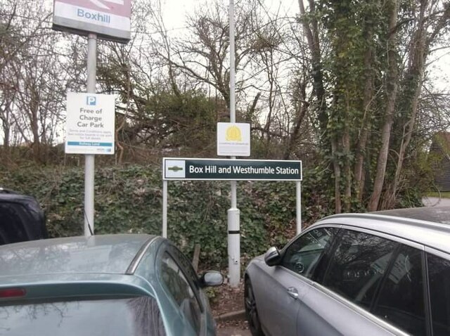
Box Hill & Westhumble railway station
Box Hill & Westhumble is a railway station in the village of Westhumble in Surrey, England, approximately 2 miles (3.2 km) north of Dorking town centre...

Denbies
Denbies is a large estate to the northwest of Dorking in Surrey, England. A farmhouse and surrounding land originally owned by John Denby was purchased...
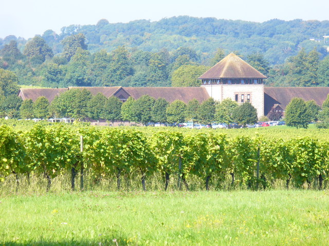
Denbies Wine Estate
Denbies Wine Estate, near Dorking, Surrey, has the largest vineyard in England, with 265 acres (1.07 km2) under vines, representing more than 10 per cent...
Mole Gap Trail
The Mole Gap Trail is a 10-kilometre (6.2 mi) official walking route alongside the River Mole, linking the Surrey towns of Dorking and Leatherhead. The...

Burford Bridge Hotel
Burford Bridge Hotel is a historic hotel at the edge of the village of Mickleham, Surrey, England. It is to the south of Leatherhead and north of Dorking...

Mole Valley (UK Parliament constituency)
Mole Valley is a constituency in Surrey represented in the House of Commons of the UK Parliament since 1997 by Sir Paul Beresford, a Conservative.Further...

Juniper Hall
Juniper Hall FSC Field Centre is an 18th-century country house, leased from the National Trust, on the east slopes of Mickleham in the deep Mole Gap of...
Nearby Amenities
Located within 500m of 51.255375,-0.3391026Have you been to Fredley?
Leave your review of Fredley below (or comments, questions and feedback).