Nats Garden
Downs, Moorland in Bedfordshire
England
Nats Garden

Nats Garden in Bedfordshire is a picturesque natural landscape located in the heart of Downs and Moorland. Spanning over a vast area, it offers visitors a serene and tranquil environment, perfect for escaping the hustle and bustle of everyday life.
The garden is known for its diverse flora and fauna, with an abundance of native plant species thriving in this unique habitat. The rolling hills and open meadows provide a stunning backdrop, showcasing the beauty of the surrounding countryside. Visitors can marvel at the vibrant colors of wildflowers, including bluebells, primroses, and buttercups, which carpet the landscape during the spring and summer months.
Nats Garden is also home to a variety of wildlife, making it a haven for nature enthusiasts. Birdwatchers can spot numerous species, such as skylarks, kestrels, and red kites, soaring through the skies. The garden's rich biodiversity also attracts small mammals, including rabbits, foxes, and even the occasional deer.
For those seeking outdoor activities, Nats Garden offers several walking trails, allowing visitors to explore the area at their own pace. The paths wind through the meadows and woodlands, offering stunning views of the surrounding countryside. Nature lovers can also enjoy a picnic amidst the peaceful surroundings or simply sit back and relax, immersing themselves in the sights and sounds of nature.
Overall, Nats Garden in Bedfordshire is a hidden gem, offering a peaceful retreat for nature lovers and providing a unique opportunity to experience the beauty of Downs and Moorland.
If you have any feedback on the listing, please let us know in the comments section below.
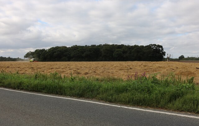
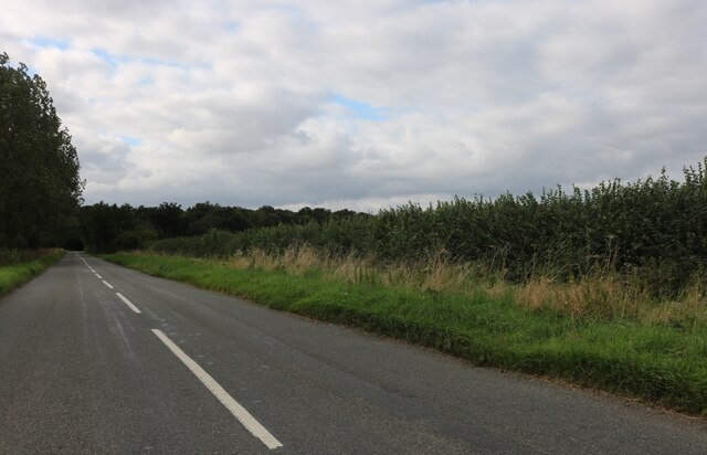
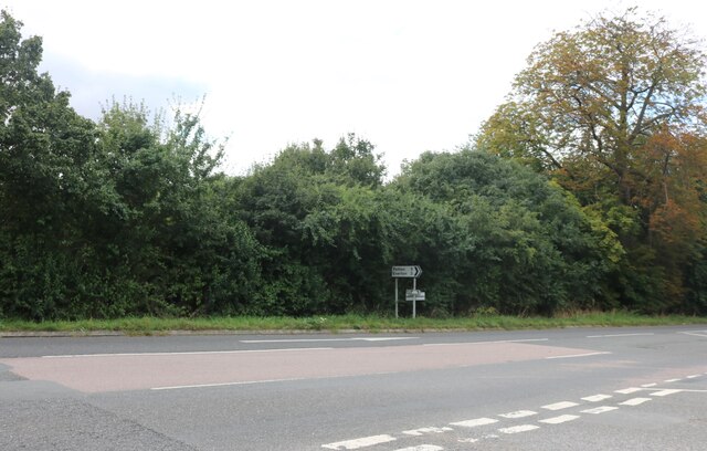
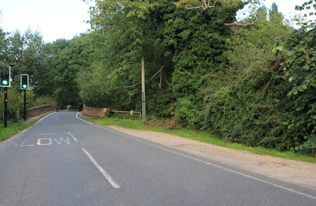
Nats Garden Images
Images are sourced within 2km of 52.163652/-0.2995466 or Grid Reference TL1653. Thanks to Geograph Open Source API. All images are credited.


Nats Garden is located at Grid Ref: TL1653 (Lat: 52.163652, Lng: -0.2995466)
Unitary Authority: Central Bedfordshire
Police Authority: Bedfordshire
What 3 Words
///poet.librarian.badminton. Near Tempsford, Bedfordshire
Nearby Locations
Related Wikis

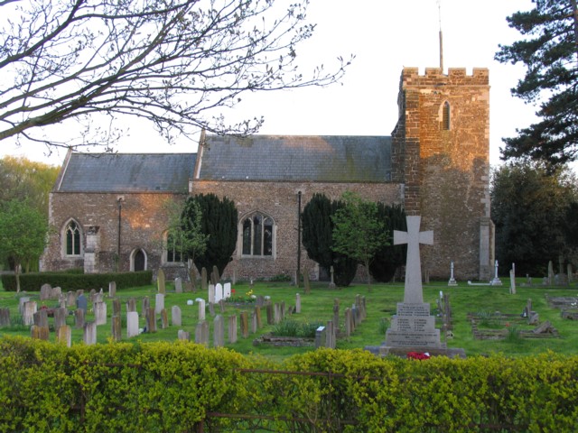
Tempsford Memorial
The Tempsford Memorial is a war memorial in the village of Tempsford in Bedfordshire. The village was the home of RAF Tempsford. The memorial commemorates...

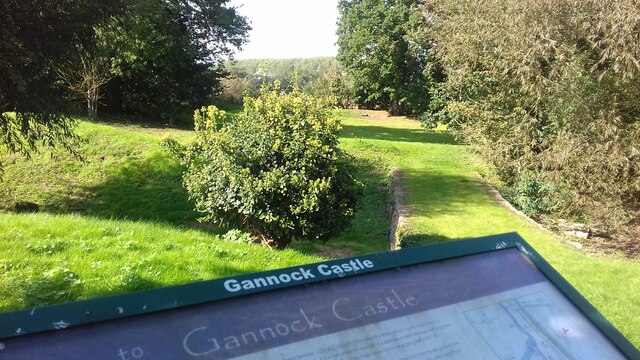
Gannocks Castle
Gannocks Castle is located in the village of Tempsford, in the county of Bedfordshire, England. It is located 6 miles east of Great Barford Castle and...

Tempsford
Tempsford is a village and civil parish in the Central Bedfordshire district of the county of Bedfordshire, England, about 7 miles (11 km) east north-east...
Tempsford Hall
Tempsford Hall is a country house in Tempsford, Bedfordshire. == History == The original hall was built in 1769 for Sir Gillies Payne; it remained in the...
Nearby Amenities
Located within 500m of 52.163652,-0.2995466Have you been to Nats Garden?
Leave your review of Nats Garden below (or comments, questions and feedback).