Church End

Settlement in Bedfordshire

England

Church End

Copse by Tempsford Road, Church End
Copse by Tempsford Road, Church End Credit: David Howard

Church End is a small village located in the county of Bedfordshire in England. Situated approximately 5 miles south-east of the town of Bedford, Church End is a peaceful and picturesque rural community. The village is part of the wider civil parish of Marston Moretaine.

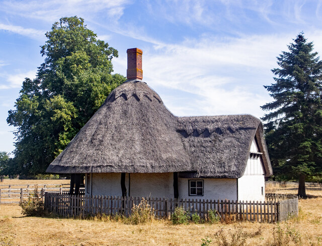
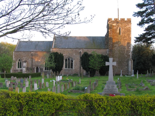
Church End is characterized by its traditional English village charm, with its quaint thatched cottages and historic buildings. The centerpiece of the village is the beautiful 12th-century St. Mary the Virgin Church, which stands prominently and serves as a focal point for the community.

The village is surrounded by lush green fields and rolling countryside, providing a tranquil setting for residents and visitors alike. The idyllic landscape also offers opportunities for leisurely walks and outdoor activities. Church End is well-connected to neighboring towns and villages through a network of country lanes and roads.

Although relatively small in size, Church End boasts a strong sense of community spirit. The village has a range of amenities, including a local pub, a village hall, and a primary school, which contributes to the close-knit nature of the community.

In terms of local attractions, the nearby Forest of Marston Vale is a popular destination for nature enthusiasts, offering opportunities for exploring woodlands and wildlife spotting. Additionally, the town of Bedford, with its wider range of amenities and cultural offerings, is easily accessible for Church End residents.

Overall, Church End offers a charming and tranquil rural lifestyle, with a strong community spirit and beautiful surroundings that make it an attractive place to live or visit.

If you have any feedback on the listing, please let us know in the comments section below.
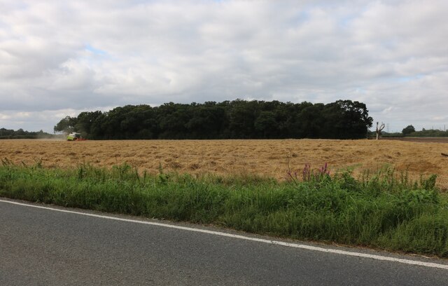
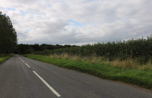
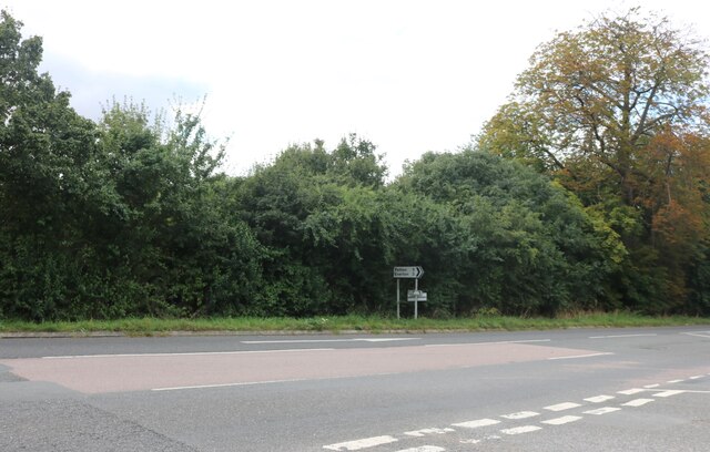
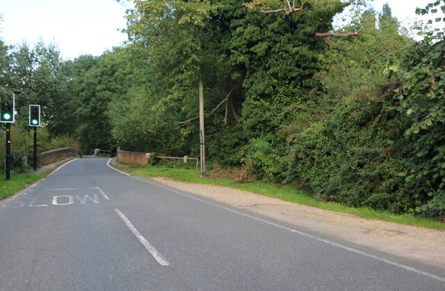
Church End Images

Images are sourced within 2km of 52.163896/-0.30209602 or Grid Reference TL1653. Thanks to Geograph Open Source API. All images are credited.

Copse by Tempsford Road, Church End
Tempsford Road, Church End
Old Great North Road, Church End The dual carriageway runs parallel now.
Old Great North Road, Church End
The dual carriageway runs parallel now.
Roundabout by the Great North Road, Church End
Blunham Bridge on Tempsford Road Crossing the River Ivel
Blunham Bridge on Tempsford Road
Crossing the River Ivel
Gannock Castle Earthworks, Tempsford Gannocks Castle is the likely site of the medieval Manor of Tempsford. It is a scheduled ancient monument. The building was surrounded by a moat.
Gannock Castle Earthworks, Tempsford
Gannocks Castle is the likely site of the medieval Manor of Tempsford. It is a scheduled ancient monument. The building was surrounded by a moat.
Roxton : lodge, Roxton Park Grade II listed - <span class="nowrap"><a title="https://historicengland.org.uk/listing/the-list/list-entry/1321206" rel="nofollow ugc noopener" href="https://historicengland.org.uk/listing/the-list/list-entry/1321206">Link</a><img style="margin-left:2px;" alt="External link" title="External link - shift click to open in new window" src="https://s1.geograph.org.uk/img/external.png" width="10" height="10"/></span>.
Roxton : lodge, Roxton Park
Grade II listed - LinkExternal link.
Greenhouses by Tempsford Road, Blunham
Field by the River Ivel, Blunham
High Street, Blunham
Cow Pasture under the A1
Tempsford Bridge The northbound A1 crosses the River Ivel with two quite steep bends. Southbound the bridge is much straighter. In between the two carriageways is a marina.
Tempsford Bridge
The northbound A1 crosses the River Ivel with two quite steep bends. Southbound the bridge is much straighter. In between the two carriageways is a marina.
School Lane/A1 junction No right turn!
School Lane/A1 junction
No right turn!
Roxton Lower School Small Church of England Voluntary Aided Primary school in the village of Roxton
Roxton Lower School
Small Church of England Voluntary Aided Primary school in the village of Roxton
Church and War Memorial Roxton
Pavilion Playing golf on the playing field is forbidden!
Pavilion
Playing golf on the playing field is forbidden!
Layby and A421 to Bedford A new dual carriageway is being built parallel to this road.
Layby and A421 to Bedford
A new dual carriageway is being built parallel to this road.
Traction engine in Blunham Summer fayre - there were probably 25-30 steam-powered vehicles in the village
Traction engine in Blunham
Summer fayre - there were probably 25-30 steam-powered vehicles in the village
Show me another place!

Church End is located at Grid Ref: TL1653 (Lat: 52.163896, Lng: -0.30209602)

Unitary Authority: Central Bedfordshire

Police Authority: Bedfordshire

What 3 Words

///seabirds.noble.estimate. Near Tempsford, Bedfordshire

Related Wikis

Tempsford Memorial

The Tempsford Memorial is a war memorial in the village of Tempsford in Bedfordshire. The village was the home of RAF Tempsford. The memorial commemorates...
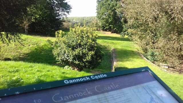
Gannocks Castle

Gannocks Castle is located in the village of Tempsford, in the county of Bedfordshire, England. It is located 6 miles east of Great Barford Castle and...

Tempsford

Tempsford is a village and civil parish in the Central Bedfordshire district of the county of Bedfordshire, England, about 7 miles (11 km) east north-east...
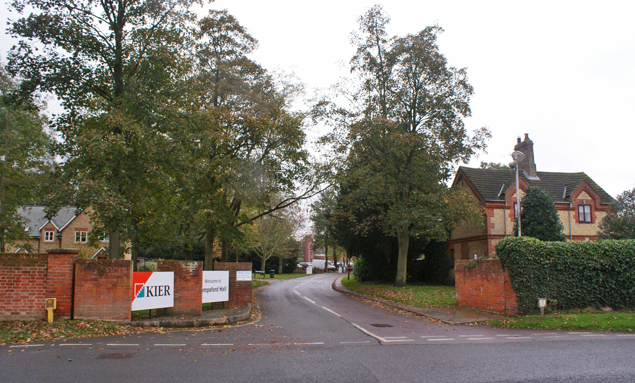
Tempsford Hall

Tempsford Hall is a country house in Tempsford, Bedfordshire. == History == The original hall was built in 1769 for Sir Gillies Payne; it remained in the...

Nearby Amenities

Located within 500m of 52.163896,-0.30209602
Description: End of Kingfisher Way
Lat/Long: 52.1670409/-0.3050928
Tempsford
Place: village
Wikidata: Q1520080
Wikipedia: en:Tempsford
Lat/Long: 52.1622127/-0.3027693
Gannock Castle
Historic: archaeological_site
Note: not a castle, despite the name
Period: medieval
Source: survey
Wikidata: Q5521428
Wikipedia: en:Gannocks Castle
Lat/Long: 52.1624716/-0.3048868
Building: barn
Source: survey
Lat/Long: 52.1621092/-0.3000851
Barrier: entrance
Source: survey
Lat/Long: 52.1624379/-0.3042178
Conservatory Manufacturer
Building: works
Source: survey
Lat/Long: 52.1668697/-0.303
Barrier: cattle_grid
Source: survey
Lat/Long: 52.1665519/-0.3015705
Power: tower
Source: bing
Lat/Long: 52.1611324/-0.3078212
Power: tower
Source: bing
Lat/Long: 52.1638143/-0.3078158
Power: tower
Source: bing
Lat/Long: 52.1662624/-0.3078105
Bbq
Lat/Long: 52.1636146/-0.3012933
Barrier: kissing_gate
Lat/Long: 52.1650269/-0.3017272
Bbq
Lat/Long: 52.1635939/-0.3014241
Bbq
Lat/Long: 52.1635281/-0.3013812
Barrier: kissing_gate
Lat/Long: 52.1641401/-0.3019176
Maxwidth: 4 m
Seamark Gate Category: lock
Seamark Gate Clearance Width: 4 m
Seamark Type: gate
Waterway: lock_gate
Lat/Long: 52.1670751/-0.3052232
Barrier: stile
Bicycle: no
Foot: yes
Source: GPS, observation
Lat/Long: 52.1657261/-0.3044559
Barrier: kissing_gate
Bicycle: no
Foot: yes
Source: GPS, observation
Lat/Long: 52.1669164/-0.3044253
Waterway: weir
Lat/Long: 52.1672229/-0.3053722
Maxwidth: 4 m
Seamark Gate Category: lock
Seamark Gate Clearance Width: 4 m
Seamark Type: gate
Waterway: lock_gate
Lat/Long: 52.166965/-0.3056566
Parking
Lat/Long: 52.1602338/-0.3012072
SOE WWII
Historic: memorial
Source: observation
Lat/Long: 52.163992/-0.3018916
Barrier: kissing_gate
Bicycle: no
Foot: yes
Source: GPS, observation
Lat/Long: 52.1670195/-0.3049548
Barrier: stile
Bicycle: no
Foot: yes
Source: GPS, observation
Lat/Long: 52.1656952/-0.3040331
Post Box
Ref: SG19 223
Lat/Long: 52.163794/-0.3019576
Telephone
Booth: K6
Covered: booth
Listed Status: Grade II
Operator: BT
Phone: +44 1767 640203
Lat/Long: 52.1629176/-0.3021096
Advertising: board
Lat/Long: 52.1628732/-0.3021016
Post Box
Post Box Type: wall
Lat/Long: 52.1628025/-0.3020882
Leisure: playground
Lat/Long: 52.1625244/-0.3030538
Fixme: solar panels?
Lat/Long: 52.159682/-0.3019381
Traffic Calming: island
Lat/Long: 52.1638575/-0.3001985
Power: pole
Lat/Long: 52.1668033/-0.3047098
Power: pole
Lat/Long: 52.1658316/-0.3047706
The data included in this document is from www.openstreetmap.org. The data is made available under ODbL.

Have you been to Church End?

Leave your review of Church End below (or comments, questions and feedback).