Church End

Settlement in Bedfordshire

England

Church End

Track to The Mill House
Track to The Mill House Credit: JThomas

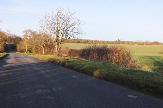
Church End is a small village located in the county of Bedfordshire, England. It is situated approximately 4 miles south of the town of Sandy and 12 miles east of Bedford. The village is surrounded by picturesque countryside, with rolling hills and quaint rural landscapes.

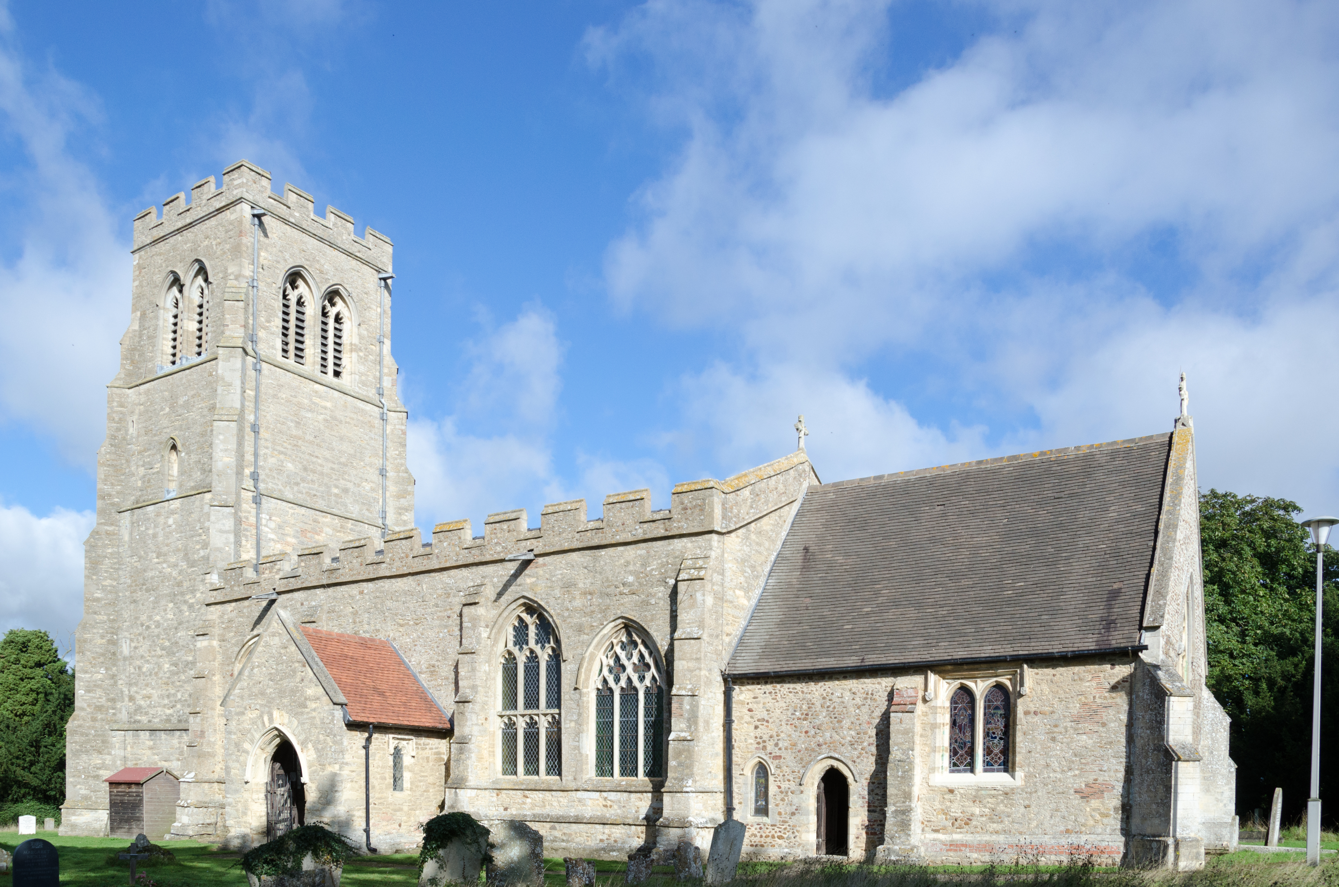
One of the notable features of Church End is its charming parish church, St. Mary the Virgin. This historic church dates back to the 12th century and showcases beautiful architectural elements, including a striking tower and intricate stained glass windows. The church serves as a focal point for the community, hosting regular services and events.

The village itself is a close-knit community, with a population of around 500 residents. It exudes a peaceful and tranquil atmosphere, making it a desirable place to live for those seeking a quiet country lifestyle. The houses in Church End are predominantly traditional cottages and period properties, adding to the village's charm and character.

There are limited amenities within the village, with a small local shop and a pub providing essential services for residents. However, the nearby towns of Sandy and Bedford offer a wider range of amenities, including supermarkets, schools, and healthcare facilities.

For outdoor enthusiasts, Church End offers ample opportunities for countryside walks, with several footpaths and bridleways winding through the surrounding fields and woodlands. The village also benefits from its proximity to the beautiful Bedfordshire countryside, with attractions such as the RSPB Lodge Nature Reserve and the Greensand Ridge nearby.

Overall, Church End provides a tranquil and idyllic setting for those looking to escape the hustle and bustle of city life and enjoy the beauty of the Bedfordshire countryside.

If you have any feedback on the listing, please let us know in the comments section below.
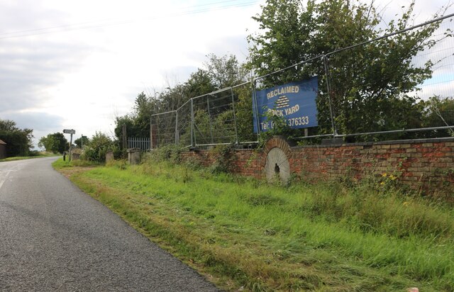
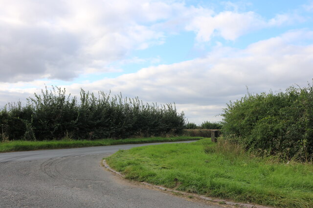
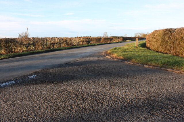
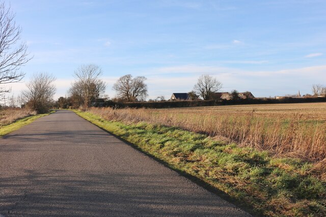
Church End Images

Images are sourced within 2km of 52.216565/-0.379466 or Grid Reference TL1058. Thanks to Geograph Open Source API. All images are credited.

Track to The Mill House
Farmland near Mill House
St Neots Road Heading east.
St Neots Road
Heading east.
Mill Road, Mill End
Mill Road, Mill End
Mill Road at the junction of Church Road
Mill Road at the junction of Church Road I've been here before <a title="https://www.geograph.org.uk/photo/7052976" href="https://www.geograph.org.uk/photo/7052976">Link</a>
Mill Road at the junction of Church Road
I've been here before Link
Mill Road, Mill End
Mill Road, Mill End
Field by Little Staughton Road, Church End
Little Staughton Road, Church End
The entrance to Wood End farm The entrance to Wood End farm
The entrance to Wood End farm
Tape in a Bolnhurst grass field Car parking arrangements for the Bolnhurst Country Show.
Tape in a Bolnhurst grass field
Car parking arrangements for the Bolnhurst Country Show.
Austin Healeys at Bolnhurst Country Show The car that gave its name to a famous rugby player, or not, lined up in a classic car display at Bolnhurst Country Show.
Austin Healeys at Bolnhurst Country Show
The car that gave its name to a famous rugby player, or not, lined up in a classic car display at Bolnhurst Country Show.
Bike collection, Bolnhurst One of many and varied collections at the Bolnhurst Country Show.
Bike collection, Bolnhurst
One of many and varied collections at the Bolnhurst Country Show.
Opperman Motor Cart, Bolnhurst The Boreham Wood built Motor Cart was a useful tool on farms, small holdings and factories for moving materials around. The engine is mounted mid point on the front wheel and drives the same. This was a display item at the Bolnhurst Country Show. The machine on the back is work in progress.
Opperman Motor Cart, Bolnhurst
The Boreham Wood built Motor Cart was a useful tool on farms, small holdings and factories for moving materials around. The engine is mounted mid point on the front wheel and drives the same. This was a display item at the Bolnhurst Country Show. The machine on the back is work in progress.
AEC 8 wheeler at Bolnhurst Country Show A very well restored Mammoth Major that would probably look better trundling along the A6 just up the road than parading in a grass field but nice to see enthusiast keeping up the good work.
AEC 8 wheeler at Bolnhurst Country Show
A very well restored Mammoth Major that would probably look better trundling along the A6 just up the road than parading in a grass field but nice to see enthusiast keeping up the good work.
White van man, Bolnhurst The ubiquitous Ford Transit Van has had many claims to fame (not all desirable)
The early 1970's model in fine condition was built 30 plus years before White van man became synonymous with tailgate driving and high street deliveries on double yellow lines.
The van is making its way around the Bolnhurst country show parade ring.
White van man, Bolnhurst
The ubiquitous Ford Transit Van has had many claims to fame (not all desirable) The early 1970's model in fine condition was built 30 plus years before White van man became synonymous with tailgate driving and high street deliveries on double yellow lines. The van is making its way around the Bolnhurst country show parade ring.
Garden tools on display at Bolnhurst Country Show A selection of wheeled hoes and seed drills followed by the usual line up of portable and stationary engines at the Bolnhurst Country Show.
Garden tools on display at Bolnhurst Country Show
A selection of wheeled hoes and seed drills followed by the usual line up of portable and stationary engines at the Bolnhurst Country Show.
Signpost.
Signpost.
Show me another place!

Church End is located at Grid Ref: TL1058 (Lat: 52.216565, Lng: -0.379466)

Unitary Authority: Bedford

Police Authority: Bedfordshire

What 3 Words

///flying.curly.extension. Near Colmworth, Bedfordshire

Related Wikis

Church of St Denys, Colmworth

Church of St Denys is a Grade I listed church in Colmworth, Bedfordshire, England. It became a listed building on 13 July 1964.The four stage west tower...

Colmworth

Colmworth is a village and civil parish in the Borough of Bedford in the county of Bedfordshire, England about 6.5 miles (10 km) north-east of Bedford...

Bushmead Priory

The Priory Church of Saint Mary, Bushmead, commonly called Bushmead Priory, was a monastic foundation for Augustinian Canons, located at Bushmead (a hamlet...

Bolnhurst

Bolnhurst is a small village and former civil parish, now in the parish of Bolnhurst and Keysoe, in the Borough of Bedford, Bedfordshire, England. The...

Begwary

Begwary is a small hamlet in the parish of Staploe in the Borough of Bedford, Bedfordshire, England. == References ==

Duck's Cross

Duck's Cross is a hamlet located in the Borough of Bedford in Bedfordshire, England. The settlement forms part of Colmworth civil parish, though Duck's...
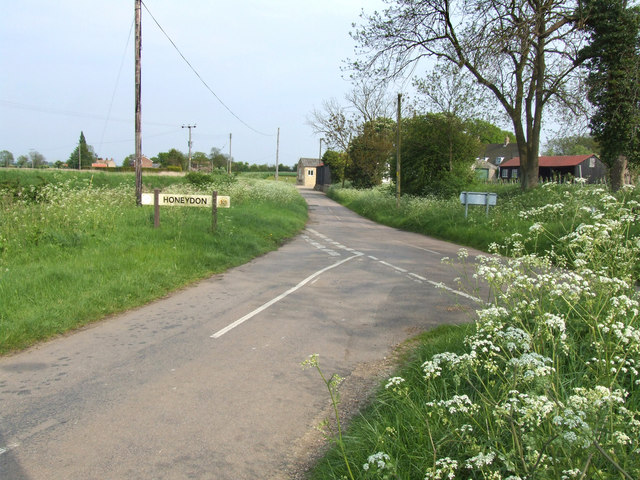
Honeydon

Honeydon is a hamlet located in the Borough of Bedford in Bedfordshire, England. Honeydon lies in the civil parish of Staploe (where the 2011 Census population...

Bolnhurst and Keysoe

Bolnhurst and Keysoe is a civil parish in the Borough of Bedford in Bedfordshire, England. According to the 2001 census it had a population of 734, reducing...

Nearby Amenities

Located within 500m of 52.216565,-0.379466
Post Office
Colmworth 2 Mobile Service Post Office
Addr Country: GB
Addr Postcode: MK44 2LB
Brand: Post Office
Brand Wikidata: Q1783168
Contact Website: https://www.postoffice.co.uk/branch-finder/7031068/colmworth-2-mobile-service
Ref Pol Id: 110448
Lat/Long: 52.2174604/-0.3773672
Colmworth
Place: village
Source: OS_OpenData_StreetView
Lat/Long: 52.217642/-0.3783267
Place: farm
Lat/Long: 52.2196006/-0.3742241
Post Box
Collection Times: Mo-Fr 16:30; Sa 11:00
Operator: Royal Mail
Post Box Type: lamp
Ref: MK44 382
Royal Cypher: EIIR
Royal Cypher Wikidata: Q33102113
Source: survey
Survey Date: 2016-05-07
Lat/Long: 52.2175645/-0.3776631
Building: yes
Lat/Long: 52.2198154/-0.3748369
Building: yes
Lat/Long: 52.2139881/-0.3799224
Picnic Table
Lat/Long: 52.2139821/-0.3777256
Colmworth Country Park
Tourism: country park
Lat/Long: 52.2137445/-0.3768775
The data included in this document is from www.openstreetmap.org. The data is made available under ODbL.

Have you been to Church End?

Leave your review of Church End below (or comments, questions and feedback).