Allerton Moor
Downs, Moorland in Yorkshire Harrogate
England
Allerton Moor

Allerton Moor is a vast expanse of natural beauty situated in the county of Yorkshire, England. Located in the region known as the Yorkshire Dales, this moorland area covers a sprawling landscape of rolling hills, scattered vegetation, and picturesque vistas. Stretching across an area of approximately 5,000 acres, Allerton Moor is a significant part of the Nidderdale Area of Outstanding Natural Beauty.
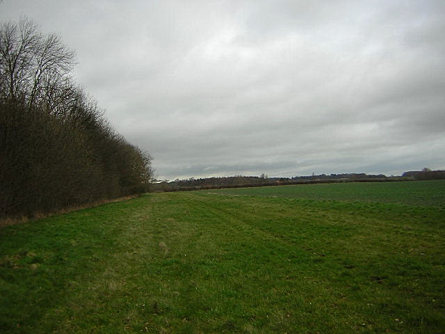
The moorland is characterized by its unique topography, with undulating hills and valleys carved out by centuries of natural processes. The terrain is largely covered in a mix of heather, grasses, and shrubs, providing a vibrant display of colors throughout the year. In spring and summer, the moorland is adorned with a burst of purple and pink as the heather comes into bloom, creating a stunning spectacle for visitors.
Allerton Moor is also home to a variety of wildlife, including several rare and protected species. It serves as an important habitat for birds such as curlews, lapwings, and golden plovers, making it a popular destination for birdwatchers and nature enthusiasts. The moorland is also inhabited by a diverse range of mammals, including hares, foxes, and deer.
The area offers numerous walking trails and paths, allowing visitors to explore its scenic beauty at their own pace. From the elevated vantage points, visitors can enjoy breathtaking panoramic views of the surrounding countryside, including the distant Yorkshire Dales and the picturesque River Nidd.
Allerton Moor is not only a haven for wildlife and nature lovers but also serves as a vital part of the region's rich cultural heritage. Its serene beauty and tranquil atmosphere make it a sought-after destination for those seeking solace in the midst of nature's splendor.
If you have any feedback on the listing, please let us know in the comments section below.
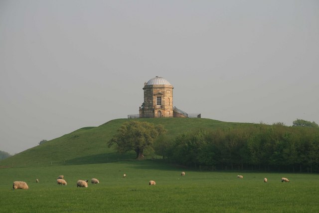
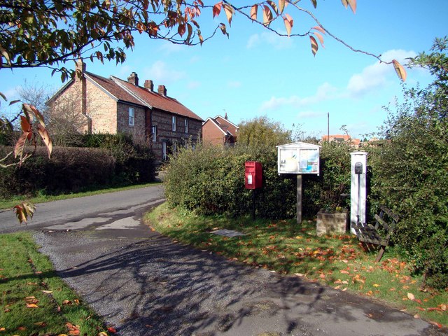
Allerton Moor Images
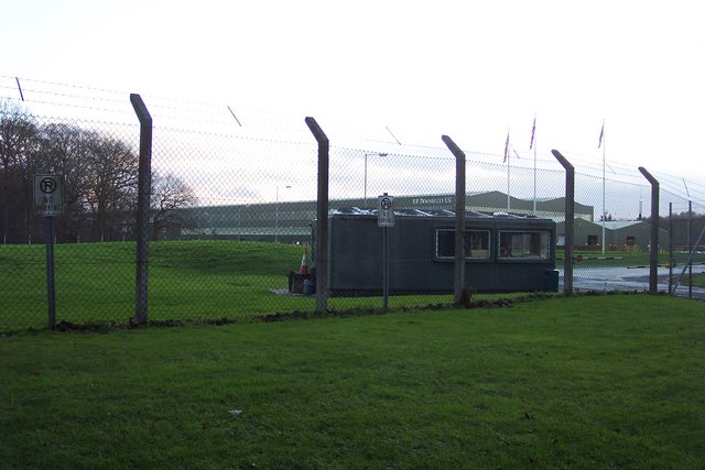
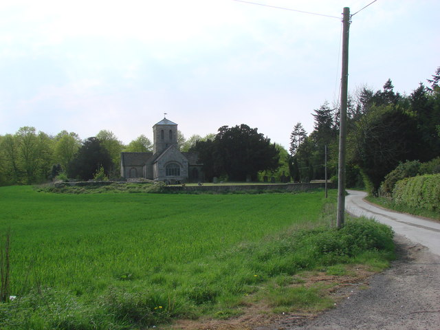
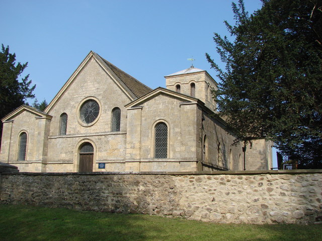
Images are sourced within 2km of 54.0069/-1.3798567 or Grid Reference SE4056. Thanks to Geograph Open Source API. All images are credited.
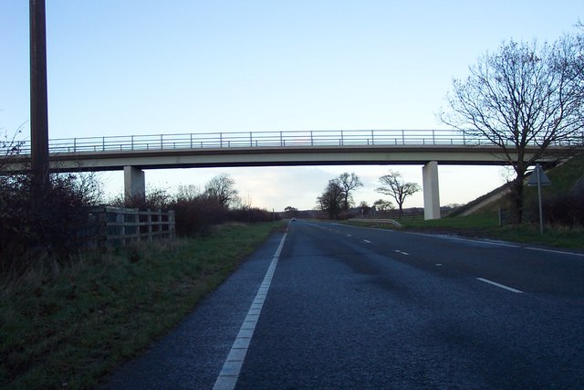
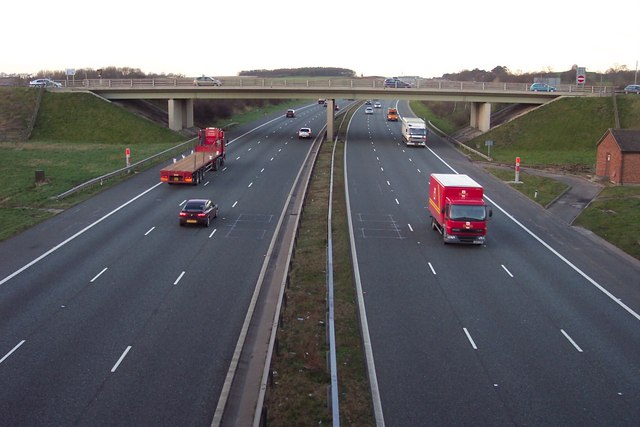

![A168 at Allerton Park The A168 runs parallel with the A1[M] at this point, using the south bound carriageway of the old A1. The wall to the right is the boundary of Allerton Park.](https://s2.geograph.org.uk/geophotos/01/06/31/1063142_0f4233fc.jpg)
Allerton Moor is located at Grid Ref: SE4056 (Lat: 54.0069, Lng: -1.3798567)
Division: West Riding
Administrative County: North Yorkshire
District: Harrogate
Police Authority: North Yorkshire
What 3 Words
///removal.inflation.plugged. Near Knaresborough, North Yorkshire
Nearby Locations
Related Wikis

Hopperton railway station
Hopperton railway station served the village of Hopperton, North Yorkshire, England from 1848 to 1962 on the Harrogate line. == History == The station...

Allerton Mauleverer with Hopperton
Allerton Mauleverer with Hopperton is a civil parish in North Yorkshire, England. At the 2011 Census, the parish had a population of 150, an increase from...

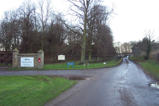
Allerton Castle
Allerton Castle, also known as Allerton Park, is a Grade I listed nineteenth-century Gothic or Victorian Gothic house at Allerton Mauleverer in North Yorkshire...
St Martin's Church, Allerton Mauleverer
St Martin's Church is a historic Anglican church in the village of Allerton Mauleverer, North Yorkshire, England. It is recorded in the National Heritage...
Allerton Mauleverer
Allerton Mauleverer is a village in North Yorkshire, England. It is part of the Allerton Mauleverer with Hopperton parish. The parish is in the district...

Coneythorpe
Coneythorpe is a village in the civil parish of Coneythorpe and Clareton, in North Yorkshire, England. It is situated less than 1 mile (1.6 km) west from...

Flaxby
Flaxby is a village and civil parish in the Harrogate district of North Yorkshire, England. It is close to the A1(M) motorway and 2 miles (3.2 km) east...
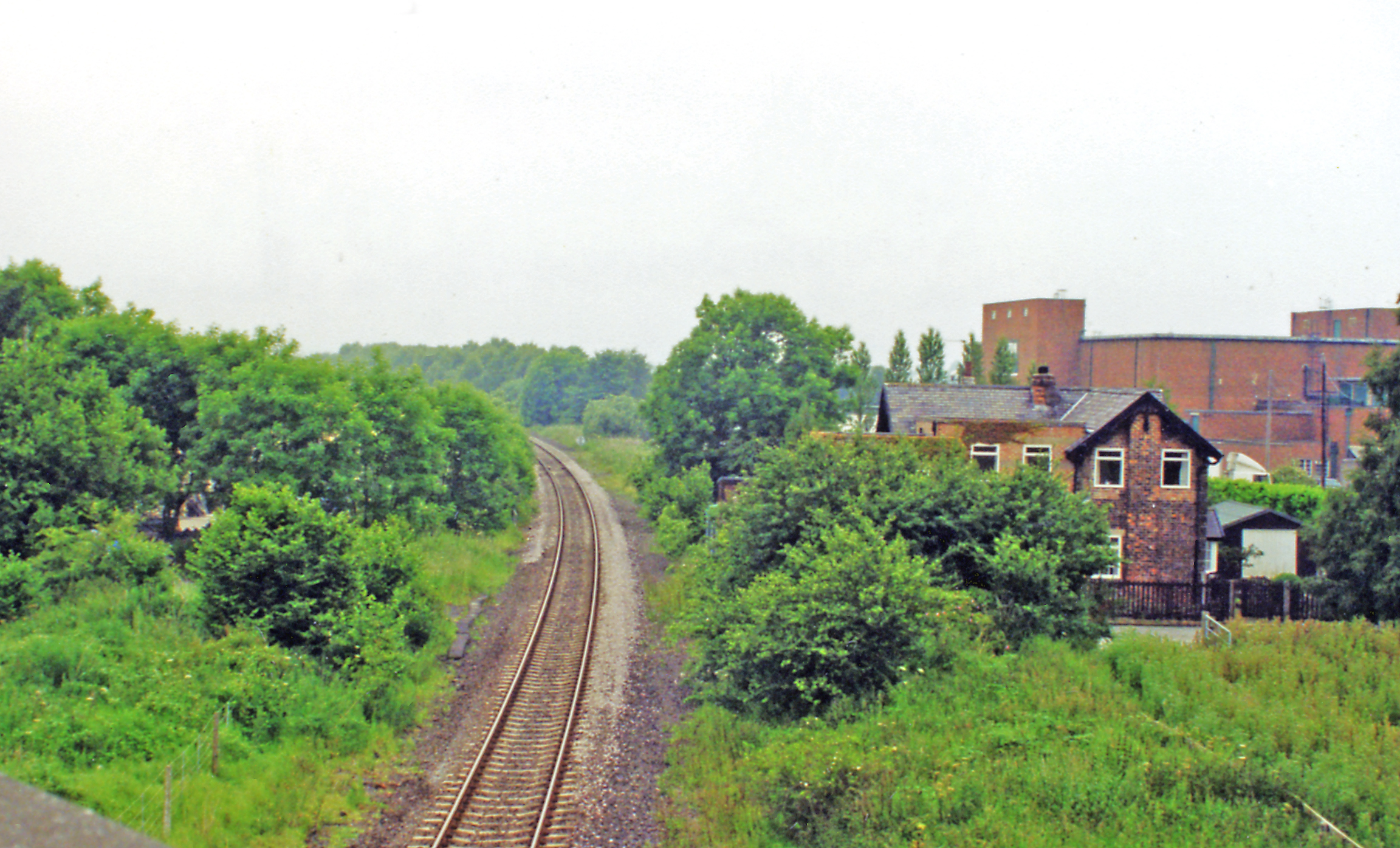
Goldsborough railway station
Goldsborough railway station served the village of Goldsborough, North Yorkshire, England from 1850 to 1965 on the Harrogate line. The station was over...
Nearby Amenities
Located within 500m of 54.0069,-1.3798567Have you been to Allerton Moor?
Leave your review of Allerton Moor below (or comments, questions and feedback).