Spring Wood
Wood, Forest in Yorkshire Harrogate
England
Spring Wood

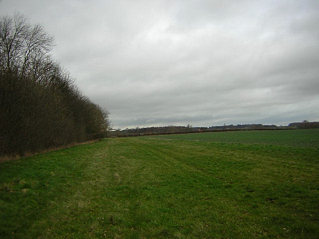
Spring Wood is a picturesque woodland located in the county of Yorkshire, England. Covering an area of approximately 100 acres, it is a captivating destination for nature enthusiasts and those seeking tranquility amidst the beauty of the countryside. The wood is situated in the heart of the Yorkshire Dales, known for its stunning landscapes and diverse flora and fauna.
As its name suggests, Spring Wood is particularly enchanting during the spring season when the forest floor comes alive with colorful wildflowers, including bluebells and primroses. The wood is predominantly composed of native deciduous trees such as oak, ash, and birch, which provide a rich habitat for a wide array of wildlife.
Visitors to Spring Wood can enjoy a network of well-maintained walking trails that wind their way through the forest, offering opportunities for peaceful strolls and invigorating hikes. Along these paths, one can discover charming streams, small waterfalls, and hidden clearings, making it an ideal spot for photography and birdwatching.
The wood is also popular with families, as it features several picnic areas and a designated children's play area. Educational programs and guided tours are periodically organized by local conservation groups, providing an opportunity to learn about the diverse ecosystem and the importance of woodland conservation.
Spring Wood is easily accessible by car, with ample parking available nearby. It is also well-connected to the surrounding towns and villages by public transport. Admission to the wood is typically free, making it an accessible and affordable destination for outdoor enthusiasts of all ages.
If you have any feedback on the listing, please let us know in the comments section below.
Spring Wood Images
Images are sourced within 2km of 54.00715/-1.3901064 or Grid Reference SE4056. Thanks to Geograph Open Source API. All images are credited.
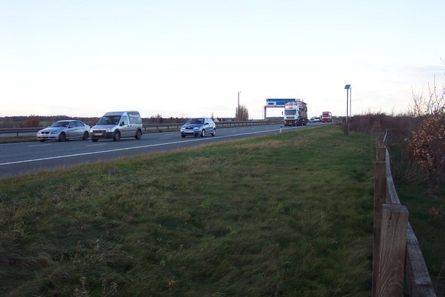
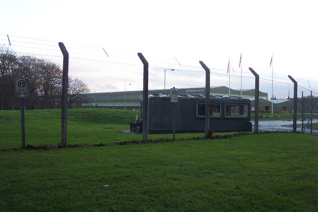
![A168 at Allerton Park The A168 runs parallel with the A1[M] at this point, using the south bound carriageway of the old A1. The wall to the right is the boundary of Allerton Park.](https://s2.geograph.org.uk/geophotos/01/06/31/1063142_0f4233fc.jpg)


Spring Wood is located at Grid Ref: SE4056 (Lat: 54.00715, Lng: -1.3901064)
Division: West Riding
Administrative County: North Yorkshire
District: Harrogate
Police Authority: North Yorkshire
What 3 Words
///marker.bedspread.stuff. Near Knaresborough, North Yorkshire
Nearby Locations
Related Wikis

Coneythorpe
Coneythorpe is a village in the civil parish of Coneythorpe and Clareton, in North Yorkshire, England. It is situated less than 1 mile (1.6 km) west from...
Goldsborough railway station
Goldsborough railway station served the village of Goldsborough, North Yorkshire, England from 1850 to 1965 on the Harrogate line. The station was over...

Flaxby
Flaxby is a village and civil parish in the Harrogate district of North Yorkshire, England. It is close to the A1(M) motorway and 2 miles (3.2 km) east...

Hopperton railway station
Hopperton railway station served the village of Hopperton, North Yorkshire, England from 1848 to 1962 on the Harrogate line. == History == The station...

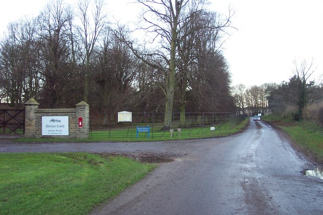
Allerton Castle
Allerton Castle, also known as Allerton Park, is a Grade I listed nineteenth-century Gothic or Victorian Gothic house at Allerton Mauleverer in North Yorkshire...

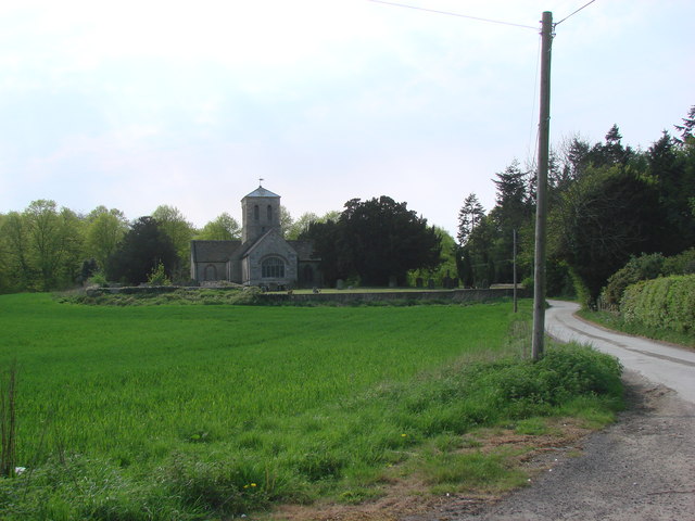
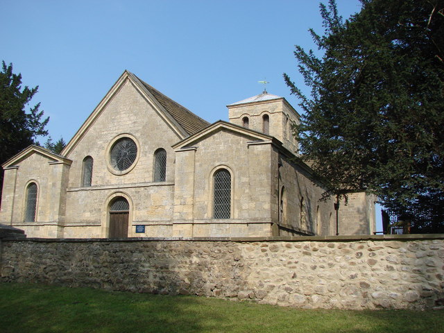
St Martin's Church, Allerton Mauleverer
St Martin's Church is a historic Anglican church in the village of Allerton Mauleverer, North Yorkshire, England. It is recorded in the National Heritage...

Goldsborough, Harrogate
Goldsborough is a village and civil parish in North Yorkshire, England. It is situated near the River Nidd and one mile (1.6 km) east of Knaresborough...
Allerton Mauleverer
Allerton Mauleverer is a village in North Yorkshire, England. It is part of the Allerton Mauleverer with Hopperton parish. The parish is in the district...
Nearby Amenities
Located within 500m of 54.00715,-1.3901064Have you been to Spring Wood?
Leave your review of Spring Wood below (or comments, questions and feedback).