Half Moon Plantation
Downs, Moorland in Yorkshire Harrogate
England
Half Moon Plantation
Half Moon Plantation is a picturesque estate located in the heart of Yorkshire, encompassing both the Downs and Moorland regions. This sprawling property spans over hundreds of acres, showcasing the natural beauty and diverse landscapes of the area.
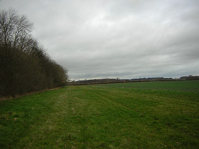
The estate is renowned for its stunning views, with rolling hills and vast open spaces that stretch as far as the eye can see. The Downs section of Half Moon Plantation is characterized by its gentle slopes, lush green meadows, and scattered woodlands. This area is ideal for leisurely walks, horseback riding, and picnics amidst breathtaking scenery.
On the other hand, the Moorland region offers a more rugged terrain, with heather-covered moors, rocky outcrops, and picturesque valleys. This section of the estate is perfect for more adventurous activities such as hiking, mountain biking, and birdwatching. Visitors can witness an array of unique wildlife species that thrive in this untamed landscape.
Half Moon Plantation also boasts a rich history, with some parts of the estate dating back several centuries. The property showcases a charming manor house that serves as a focal point and offers a glimpse into the region's past. Additionally, there are several well-preserved historic landmarks and ruins scattered throughout the estate, providing visitors with a sense of the area's cultural heritage.
Whether exploring the gentle slopes of the Downs or venturing into the wild beauty of the Moorland, Half Moon Plantation offers a remarkable experience for nature enthusiasts, history buffs, and those seeking tranquility amidst the stunning Yorkshire countryside.
If you have any feedback on the listing, please let us know in the comments section below.
Half Moon Plantation Images
Images are sourced within 2km of 54.001037/-1.3827967 or Grid Reference SE4056. Thanks to Geograph Open Source API. All images are credited.
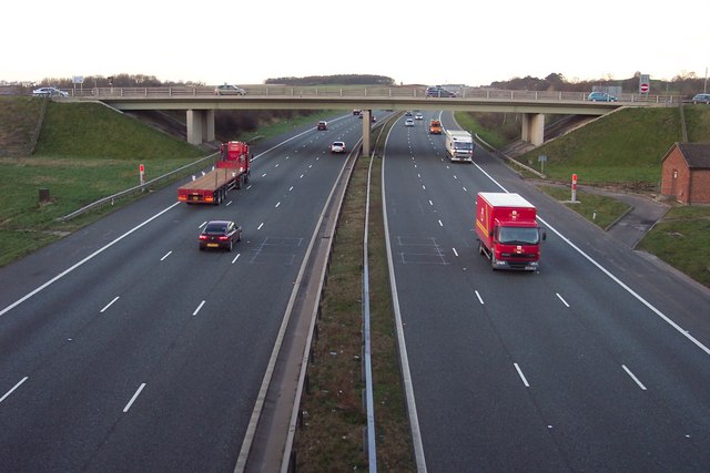
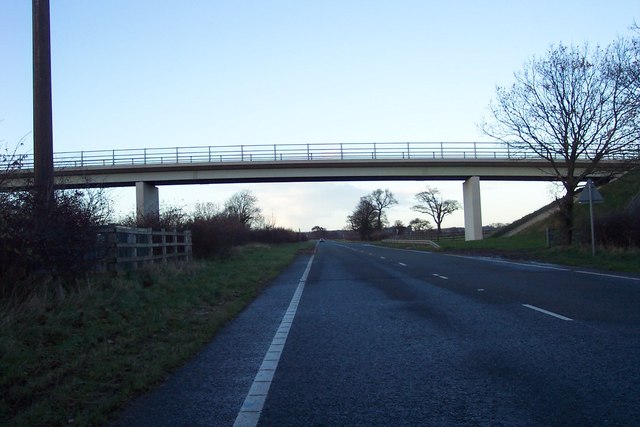
![A168 at Allerton Park The A168 runs parallel with the A1[M] at this point, using the south bound carriageway of the old A1. The wall to the right is the boundary of Allerton Park.](https://s2.geograph.org.uk/geophotos/01/06/31/1063142_0f4233fc.jpg)
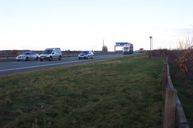
![Parallel roads Looking north from a farm access bridge with the A1[M] on the left and the A168, which uses the old southbound carriageway of the A1, to the right. Much of the trees and ground cover between the two roads is growing on spoil over the old ripped up northbound carriageway.](https://s2.geograph.org.uk/geophotos/01/11/69/1116906_89fcb502.jpg)
![A1[M] looking south A view south along the A1 motorway to the south of junction 47 near Walshford.](https://s2.geograph.org.uk/geophotos/01/11/69/1116914_0aa3bef1.jpg)

Half Moon Plantation is located at Grid Ref: SE4056 (Lat: 54.001037, Lng: -1.3827967)
Division: West Riding
Administrative County: North Yorkshire
District: Harrogate
Police Authority: North Yorkshire
What 3 Words
///massaging.applauded.workouts. Near Knaresborough, North Yorkshire
Nearby Locations
Related Wikis

Hopperton railway station
Hopperton railway station served the village of Hopperton, North Yorkshire, England from 1848 to 1962 on the Harrogate line. == History == The station...

Coneythorpe
Coneythorpe is a village in the civil parish of Coneythorpe and Clareton, in North Yorkshire, England. It is situated less than 1 mile (1.6 km) west from...
Goldsborough railway station
Goldsborough railway station served the village of Goldsborough, North Yorkshire, England from 1850 to 1965 on the Harrogate line. The station was over...

Allerton Mauleverer with Hopperton
Allerton Mauleverer with Hopperton is a civil parish in North Yorkshire, England. At the 2011 Census, the parish had a population of 150, an increase from...

Hopperton
Hopperton is a village in the Harrogate district of North Yorkshire, England. It is part of the Allerton Mauleverer with Hopperton parish. The village...

Flaxby
Flaxby is a village and civil parish in the Harrogate district of North Yorkshire, England. It is close to the A1(M) motorway and 2 miles (3.2 km) east...
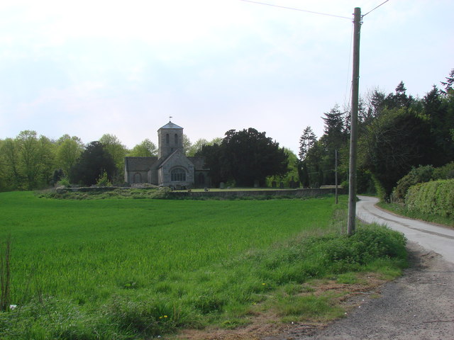
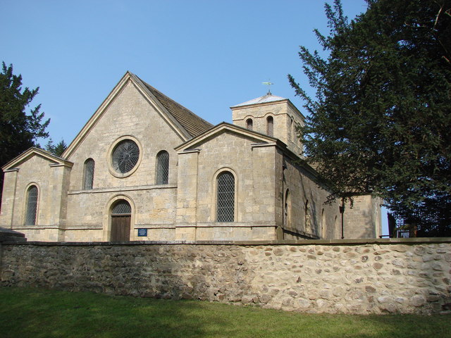
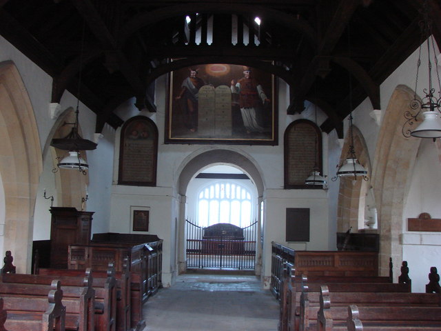
St Martin's Church, Allerton Mauleverer
St Martin's Church is a historic Anglican church in the village of Allerton Mauleverer, North Yorkshire, England. It is recorded in the National Heritage...

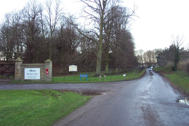
Allerton Castle
Allerton Castle, also known as Allerton Park, is a Grade I listed nineteenth-century Gothic or Victorian Gothic house at Allerton Mauleverer in North Yorkshire...
Nearby Amenities
Located within 500m of 54.001037,-1.3827967Have you been to Half Moon Plantation?
Leave your review of Half Moon Plantation below (or comments, questions and feedback).