Bayram Hill
Hill, Mountain in Yorkshire Harrogate
England
Bayram Hill

Bayram Hill is a prominent hill located in the county of Yorkshire, England. Situated near the village of Bayram, it is part of the picturesque Yorkshire Dales National Park. With an elevation of approximately 450 meters (1476 feet), it offers stunning panoramic views of the surrounding countryside.
The hill is covered in lush greenery and boasts a diverse range of flora and fauna, making it a popular destination for nature enthusiasts and hikers. Its slopes are adorned with vibrant wildflowers during the spring and summer months, while in autumn, the hillside transforms into a mesmerizing tapestry of golden hues.
At the summit of Bayram Hill, visitors can enjoy breathtaking vistas of the Yorkshire Dales, with rolling hills stretching as far as the eye can see. On clear days, it is even possible to catch a glimpse of the distant Pennine Mountains.
The hill is easily accessible via well-maintained footpaths and trails, allowing visitors to explore its natural beauty at their own pace. It is often included in hiking routes and offers a challenging but rewarding climb for outdoor enthusiasts.
Bayram Hill is also home to a variety of wildlife, including birds of prey such as kestrels and buzzards, as well as grazing sheep and cows. The peaceful and serene atmosphere of the hill provides a tranquil escape from the hustle and bustle of daily life.
Overall, Bayram Hill in Yorkshire is a picturesque and captivating destination, offering stunning views, rich biodiversity, and a sense of tranquility for all who venture to its summit.
If you have any feedback on the listing, please let us know in the comments section below.
Bayram Hill Images
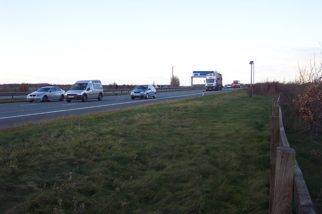
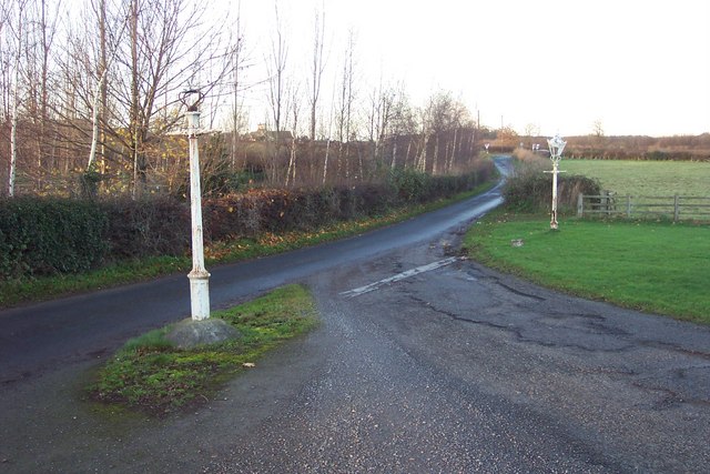
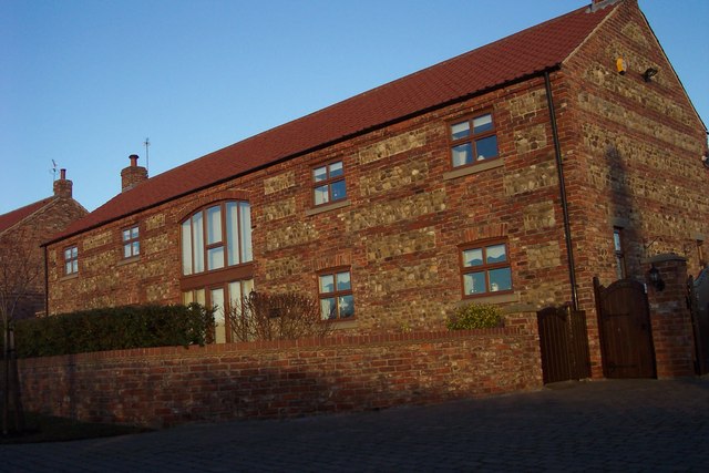
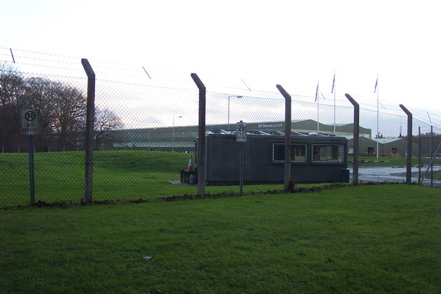
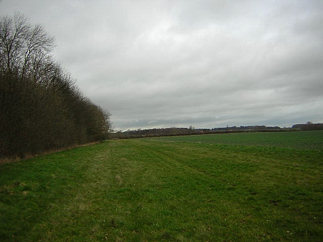
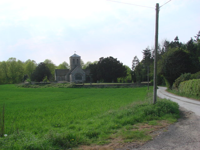
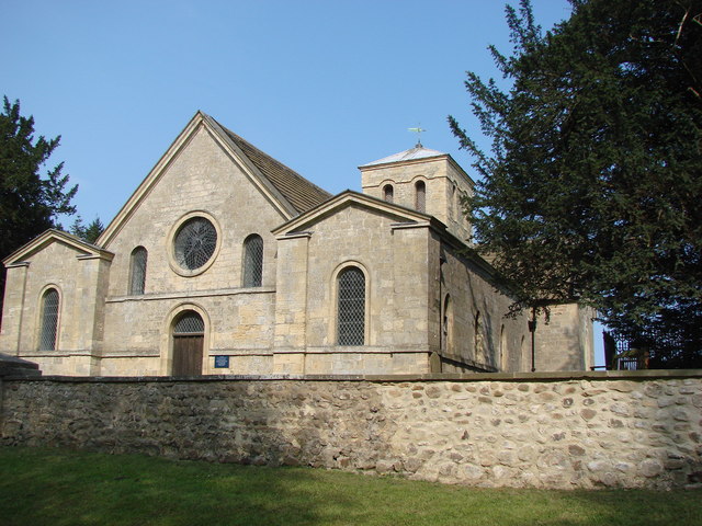
Images are sourced within 2km of 54.003424/-1.380305 or Grid Reference SE4056. Thanks to Geograph Open Source API. All images are credited.
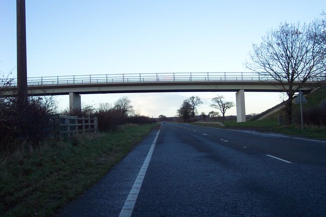
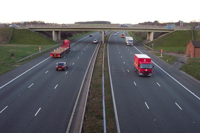
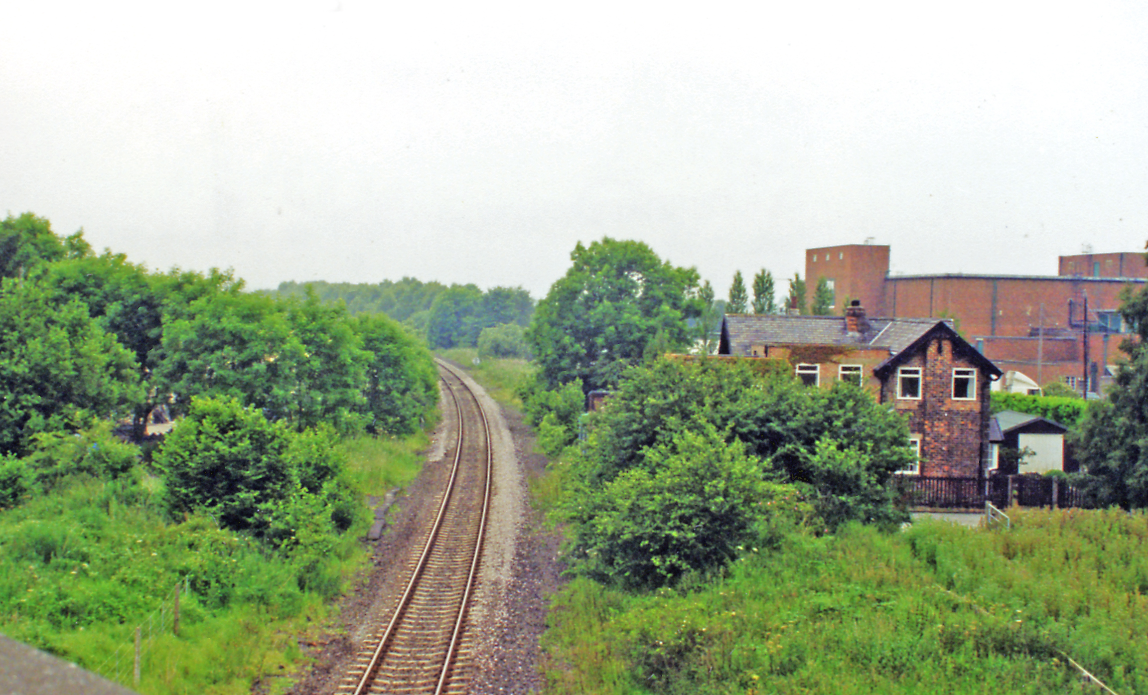
![A168 at Allerton Park The A168 runs parallel with the A1[M] at this point, using the south bound carriageway of the old A1. The wall to the right is the boundary of Allerton Park.](https://s2.geograph.org.uk/geophotos/01/06/31/1063142_0f4233fc.jpg)
Bayram Hill is located at Grid Ref: SE4056 (Lat: 54.003424, Lng: -1.380305)
Division: West Riding
Administrative County: North Yorkshire
District: Harrogate
Police Authority: North Yorkshire
What 3 Words
///pays.protected.spin. Near Knaresborough, North Yorkshire
Nearby Locations
Related Wikis

Hopperton railway station
Hopperton railway station served the village of Hopperton, North Yorkshire, England from 1848 to 1962 on the Harrogate line. == History == The station...

Allerton Mauleverer with Hopperton
Allerton Mauleverer with Hopperton is a civil parish in North Yorkshire, England. At the 2011 Census, the parish had a population of 150, an increase from...

Coneythorpe
Coneythorpe is a village in the civil parish of Coneythorpe and Clareton, in North Yorkshire, England. It is situated less than 1 mile (1.6 km) west from...

Hopperton
Hopperton is a village in the Harrogate district of North Yorkshire, England. It is part of the Allerton Mauleverer with Hopperton parish. The village...
Goldsborough railway station
Goldsborough railway station served the village of Goldsborough, North Yorkshire, England from 1850 to 1965 on the Harrogate line. The station was over...
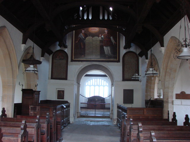
St Martin's Church, Allerton Mauleverer
St Martin's Church is a historic Anglican church in the village of Allerton Mauleverer, North Yorkshire, England. It is recorded in the National Heritage...

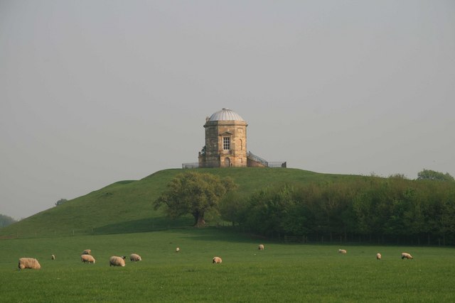
Allerton Castle
Allerton Castle, also known as Allerton Park, is a Grade I listed nineteenth-century Gothic or Victorian Gothic house at Allerton Mauleverer in North Yorkshire...
Allerton Mauleverer
Allerton Mauleverer is a village in North Yorkshire, England. It is part of the Allerton Mauleverer with Hopperton parish. The parish is in the district...
Nearby Amenities
Located within 500m of 54.003424,-1.380305Have you been to Bayram Hill?
Leave your review of Bayram Hill below (or comments, questions and feedback).