Marton Moor
Downs, Moorland in Warwickshire Rugby
England
Marton Moor
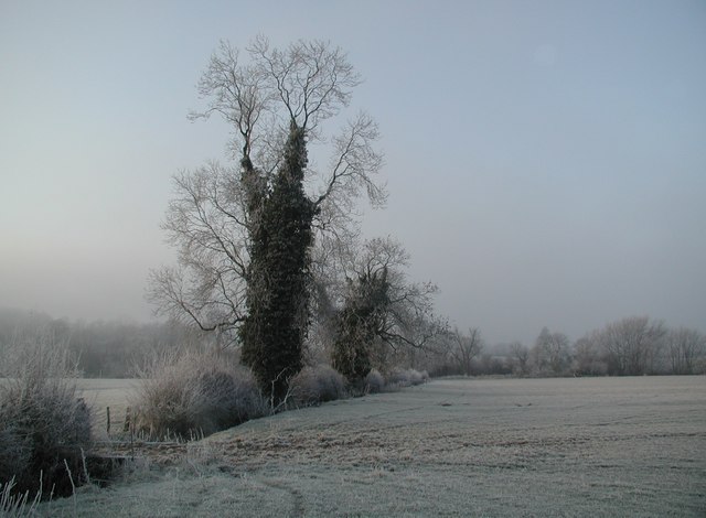
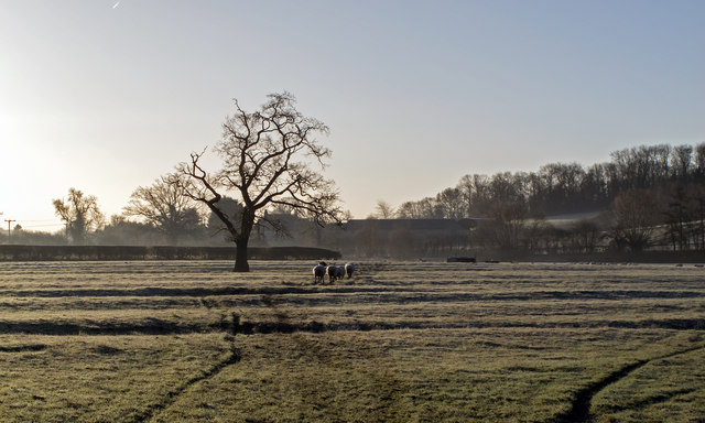
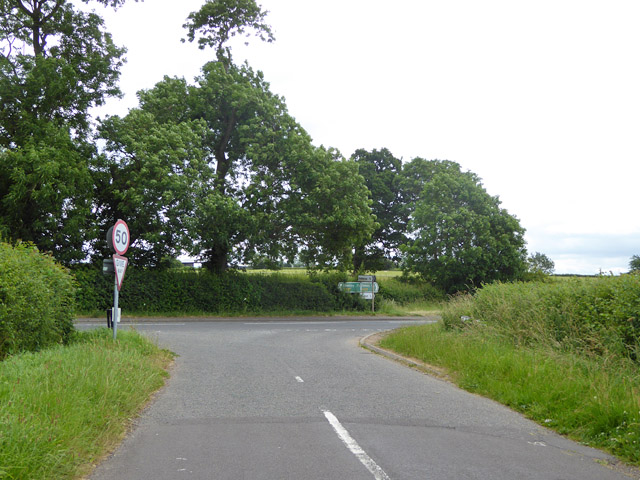
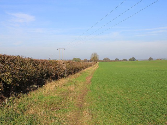
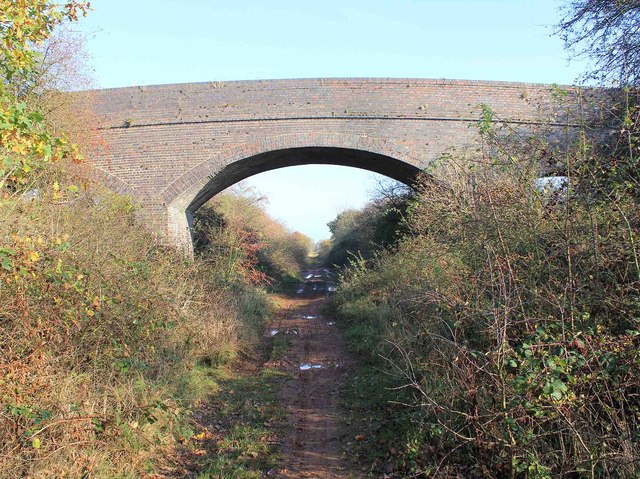
Marton Moor is a vast expanse of downs and moorland located in Warwickshire, England. Covering an area of approximately 3,000 acres, it is situated in the southeastern part of the county, near the village of Marton. The moorland is characterized by its undulating terrain, consisting of rolling hills, heathland, and open grasslands.
The area boasts a rich natural habitat with diverse flora and fauna. The heather-covered uplands provide a suitable environment for a variety of bird species, including skylarks, stonechats, and meadow pipits. Additionally, the moorland is home to several species of butterflies, such as the common blue and small copper.
Marton Moor holds historical significance, with evidence of human activity dating back to the Neolithic period. Archaeological remains, including burial mounds and ancient trackways, can be found scattered across the landscape, offering glimpses into the area's past.
The moor is a popular destination for outdoor enthusiasts and nature lovers. Its extensive network of footpaths and bridleways allow visitors to explore the area on foot, bicycle, or horseback. The stunning panoramic views from the hilltops attract photographers and painters alike, capturing the beauty of the surrounding countryside.
Marton Moor is managed by local authorities and conservation organizations to protect its unique ecosystem and preserve its cultural heritage. Visitors are encouraged to respect the environment and adhere to any guidelines in place to ensure the long-term sustainability of this remarkable natural resource.
If you have any feedback on the listing, please let us know in the comments section below.
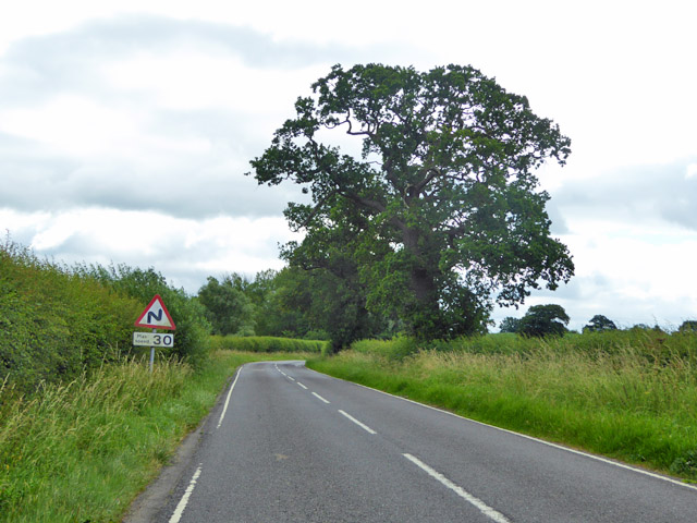
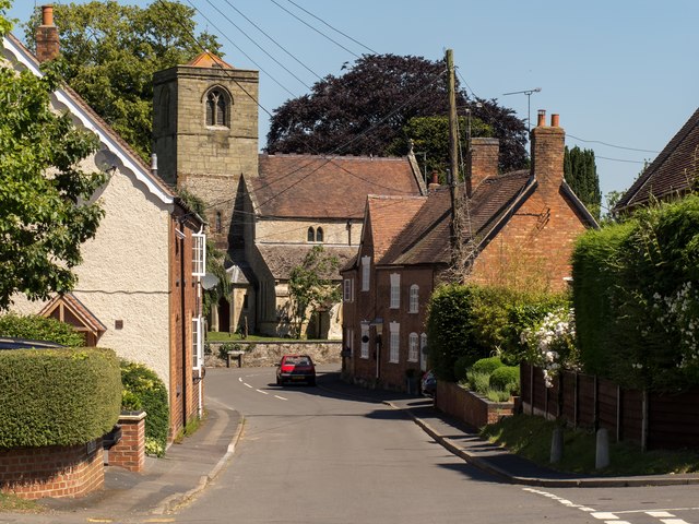
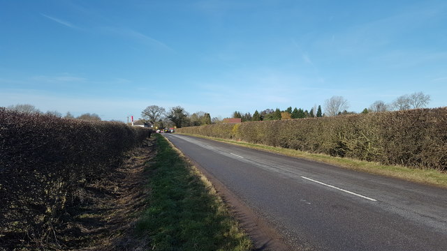
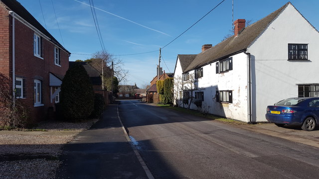
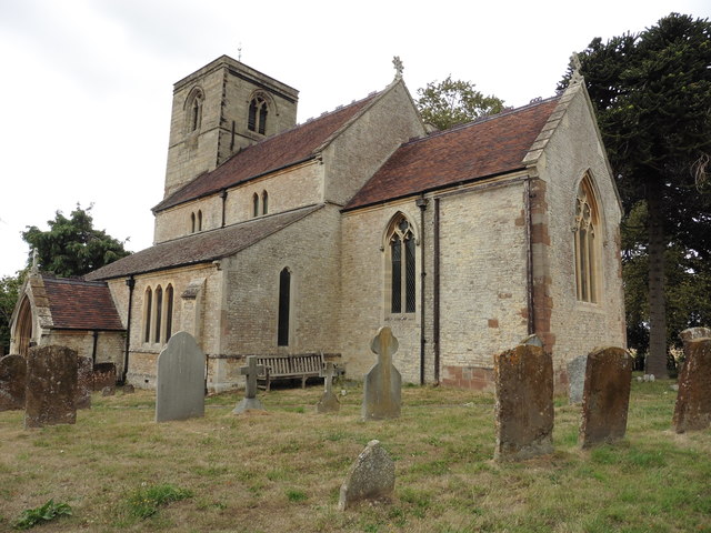
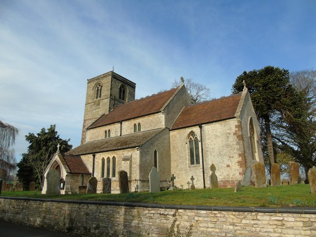
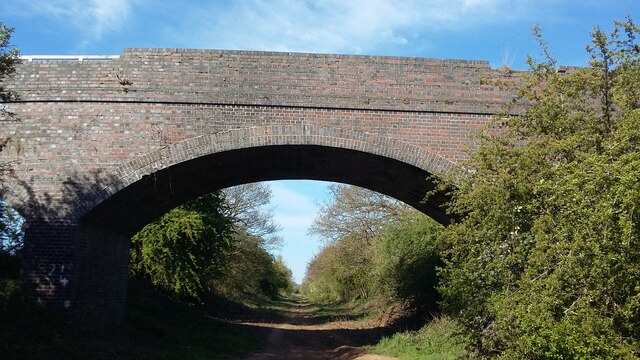
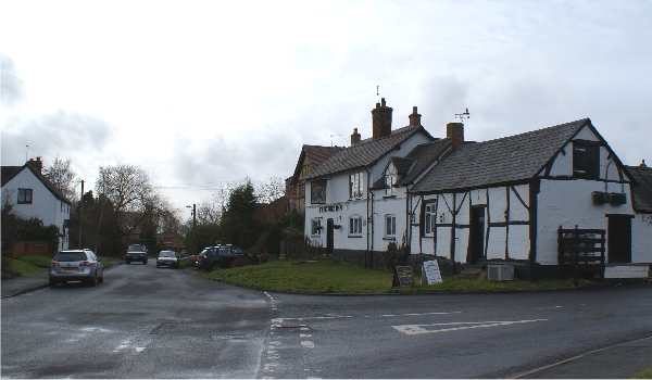
Marton Moor Images
Images are sourced within 2km of 52.30899/-1.4043431 or Grid Reference SP4068. Thanks to Geograph Open Source API. All images are credited.


Marton Moor is located at Grid Ref: SP4068 (Lat: 52.30899, Lng: -1.4043431)
Administrative County: Warwickshire
District: Rugby
Police Authority: Warwickshire
What 3 Words
///sandwich.radiating.feelers. Near Long Itchington, Warwickshire
Nearby Locations
Related Wikis

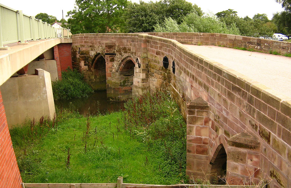
Marton railway station (Warwickshire)
Marton railway station was a railway station serving Marton in the English county of Warwickshire on the Rugby to Leamington line. Among the many schemes...
Marton, Warwickshire
Marton is a village and civil parish in Warwickshire, England. The parish is within the Borough of Rugby and in the 2011 Census' had a population of 484...

River Itchen, Warwickshire
The River Itchen flows through east Warwickshire in England. It is a small river, about 18 miles (29 km) long, and its general course is from south to...

Eathorpe
Eathorpe is a small village and civil parish five miles east of Leamington Spa, in Warwickshire, England. The parish is part of the electoral ward of Cubbington...
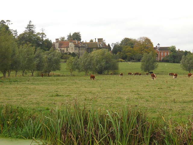
Birdingbury Hall
Birdingbury Hall is a 17th-century country house situated at Birdingbury, near Rugby, Warwickshire. It is a Grade II listed building and now serves as...

Princethorpe
Princethorpe is a village and civil parish in the Rugby district of Warwickshire, England. In the 2011 census the parish had a population 376, increasing...
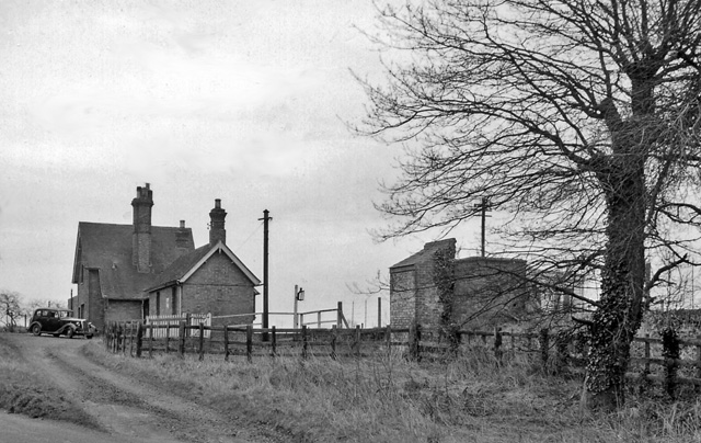
Birdingbury railway station
Birdingbury railway station was a railway station serving Birdingbury in the English county of Warwickshire on the Rugby to Leamington line. Among the...
Frankton, Warwickshire
Frankton is a village and civil parish in the Rugby borough of Warwickshire in England. In the 2001 Census it had a population of 344, increasing to 351...
Nearby Amenities
Located within 500m of 52.30899,-1.4043431Have you been to Marton Moor?
Leave your review of Marton Moor below (or comments, questions and feedback).