Hog Down

Downs, Moorland in Wiltshire

England

Hog Down

Tank crossing on Marlborough Road The land to either side is a military training area.
Tank crossing on Marlborough Road Credit: Robin Webster

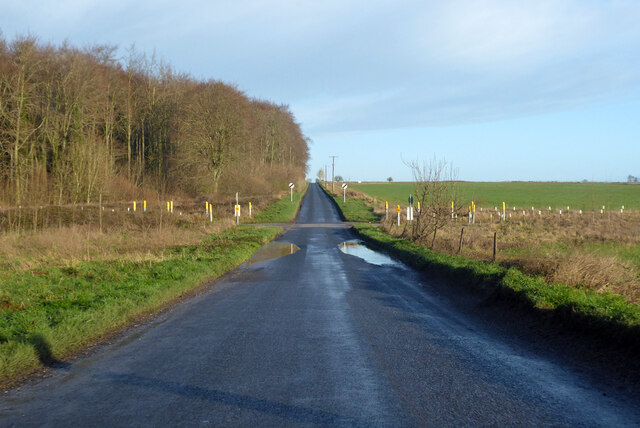
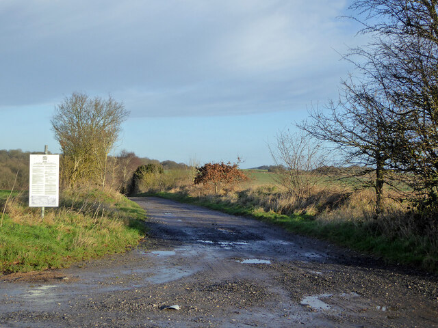
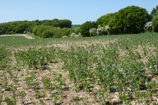
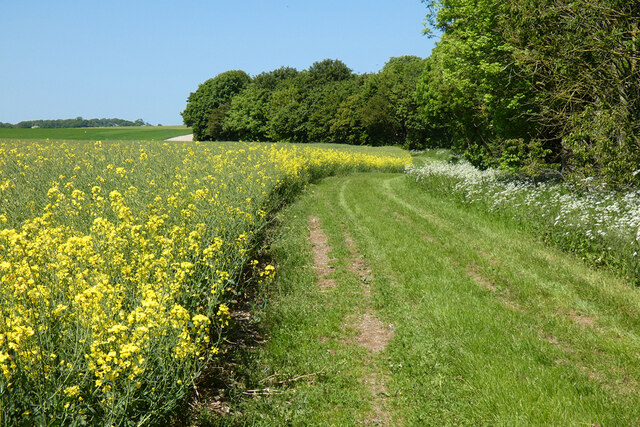
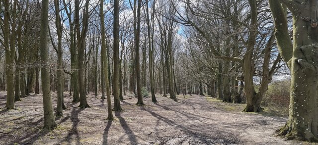
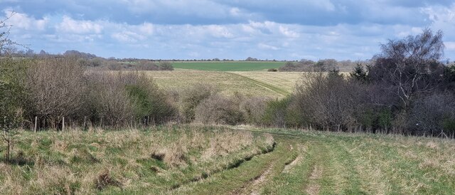
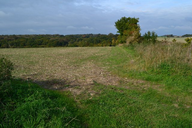
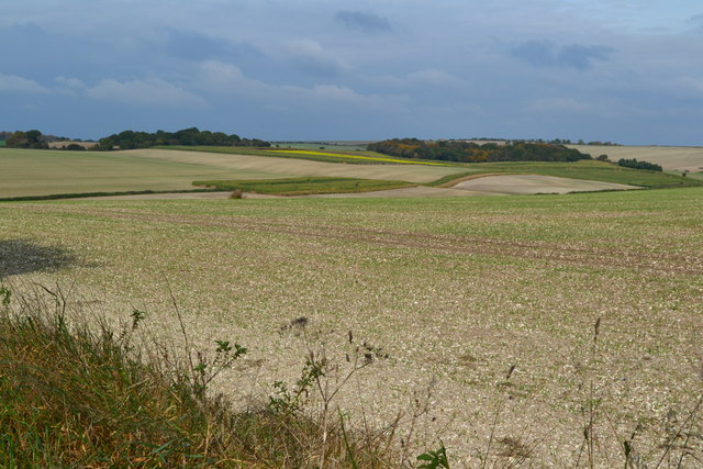
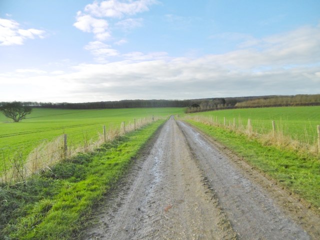
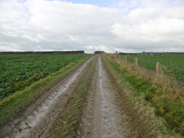
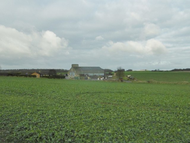
Hog Down is a sprawling area located in Wiltshire, England, renowned for its picturesque landscapes of downs and moorland. Covering an extensive area of approximately 1,500 acres, it offers visitors a mix of rolling hills, open grasslands, and patches of dense vegetation, creating a diverse and captivating natural environment.

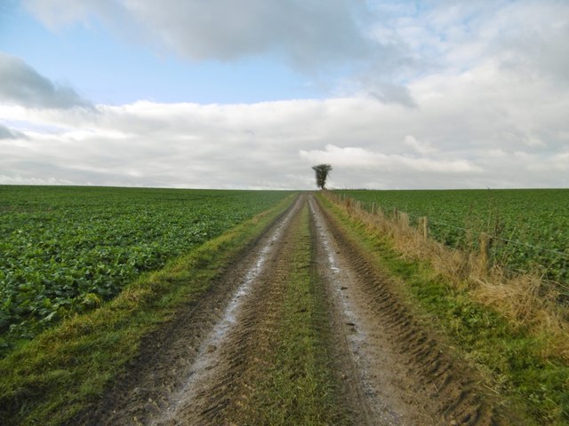
One of the most striking features of Hog Down is its undulating downs, which provide breathtaking panoramic views of the surrounding countryside. These slopes are covered in lush grasses and dotted with vibrant wildflowers during the warmer months, attracting a wide variety of wildlife. The area is particularly known for its populations of rabbits, hares, and various bird species, making it a popular spot for birdwatching and nature enthusiasts.

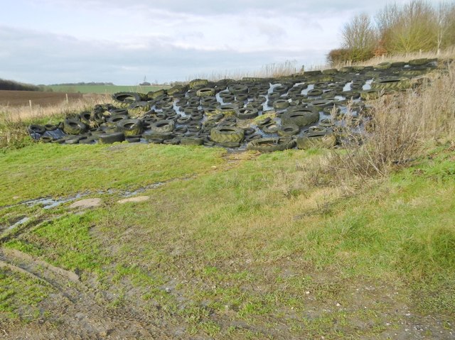
The moorland areas of Hog Down offer a contrasting landscape, characterized by heather and gorse. These dense shrubs provide shelter for many small mammals and birds, contributing to the area's rich biodiversity. Additionally, the moorland is intersected by several clear streams and small pools, adding to the beauty and tranquility of the area.

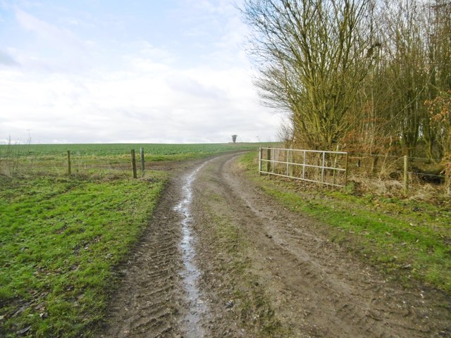
Hog Down is a haven for outdoor activities, attracting hikers, cyclists, and horse riders who can explore its numerous trails and paths. Additionally, the area is crisscrossed by several public footpaths, allowing visitors to experience the stunning vistas and unique wildlife up close.

Overall, Hog Down in Wiltshire is a captivating natural landscape that offers a diverse range of habitats, breathtaking views, and abundant wildlife. It provides a serene escape from urban life and a chance to immerse oneself in the beauty of the British countryside.

If you have any feedback on the listing, please let us know in the comments section below.

Hog Down Images

Images are sourced within 2km of 51.304948/-1.7028939 or Grid Reference SU2056. Thanks to Geograph Open Source API. All images are credited.

Tank crossing on Marlborough Road The land to either side is a military training area.
Tank crossing on Marlborough Road
The land to either side is a military training area.
Byway to Easton Royal and Milton Lilbourne The land to the left, but not the track, is a military training area, hence the sign. But by the time you have finished reading its requirements, there is no time to go anywhere anyway.
Byway to Easton Royal and Milton Lilbourne
The land to the left, but not the track, is a military training area, hence the sign. But by the time you have finished reading its requirements, there is no time to go anywhere anyway.
Farmland, Collingbourne Kingston A crop of beans and the copse on Thornhill Down.
Farmland, Collingbourne Kingston
A crop of beans and the copse on Thornhill Down.
Barn and farmland, Collingbourne Kingston At Summer Down Farm and viewed from the byway to the south.
Barn and farmland, Collingbourne Kingston
At Summer Down Farm and viewed from the byway to the south.
Farmland, Collingbourne Kingston A byway follows the field's edge beside oil-seed rape.
Farmland, Collingbourne Kingston
A byway follows the field's edge beside oil-seed rape.
Road towards Pewsey The land to either side is a military training area.
Road towards Pewsey
The land to either side is a military training area.
Road towards Pewsey The land to either side is a military training area.
Road towards Pewsey
The land to either side is a military training area.
Road towards Pewsey
Road towards Pewsey
Wiren Copse, Wiltshire Looking south-southwest along a sunny track in Wiren Copse.
Wiren Copse, Wiltshire
Looking south-southwest along a sunny track in Wiren Copse.
Round Down, Wiltshire Looking northwest towards West Everleigh Down from Round Down.
Round Down, Wiltshire
Looking northwest towards West Everleigh Down from Round Down.
Corner of field near Summer Down
View across Summer Down
Collingbourne Kingston, byway The continuation of Mill Drove, across cropland towards Everleigh.
Collingbourne Kingston, byway
The continuation of Mill Drove, across cropland towards Everleigh.
Collingbourne Kingston, clamp Silage maturing under a nylon sheet secured with old tyres.
Collingbourne Kingston, clamp
Silage maturing under a nylon sheet secured with old tyres.
Collingbourne Kingston, gate On the byway towards Everleigh; leaving cereal planting for brassicas.
Collingbourne Kingston, gate
On the byway towards Everleigh; leaving cereal planting for brassicas.
Everleigh, byway Heading towards North of Everleigh, on the byway from Collingbourne Kingston; across brassica cropland.
Everleigh, byway
Heading towards North of Everleigh, on the byway from Collingbourne Kingston; across brassica cropland.
Everleigh, byway On the byway/farm road from Collingbourne Kingston, across brassica cultivation.
Everleigh, byway
On the byway/farm road from Collingbourne Kingston, across brassica cultivation.
Everleigh, Summer Down Farm
Show me another place!

Hog Down is located at Grid Ref: SU2056 (Lat: 51.304948, Lng: -1.7028939)

Unitary Authority: Wiltshire

Police Authority: Wiltshire

What 3 Words

///tame.exonerate.toddler. Near Collingbourne Kingston, Wiltshire

Related Wikis

St Peter's Church, Everleigh

St Peter's Church, in Everleigh, Wiltshire, England was built in 1813 by John Morlidge for F.D. Astley. It is recorded in the National Heritage List for...

Everleigh, Wiltshire

Everleigh, pronounced and also sometimes spelt Everley, is a village and civil parish in east Wiltshire, England, about 4+1⁄2 miles (7 km) southeast of...

Aughton, Wiltshire

Aughton is a hamlet adjacent to the village of Collingbourne Kingston in Wiltshire, England. Aughton took its name from Aeffe, the owner in the 10th century...

Collingbourne Kingston

Collingbourne Kingston is a village and civil parish about 8 miles (13 km) south of the market town of Marlborough in Wiltshire, England. The village,...

Nearby Amenities

Located within 500m of 51.304948,-1.7028939
Hog Down
Place: locality
Source: OS_OpenData_StreetView
Lat/Long: 51.3044063/-1.7039108
The data included in this document is from www.openstreetmap.org. The data is made available under ODbL.

Have you been to Hog Down?

Leave your review of Hog Down below (or comments, questions and feedback).