Cow Down
Downs, Moorland in Wiltshire
England
Cow Down
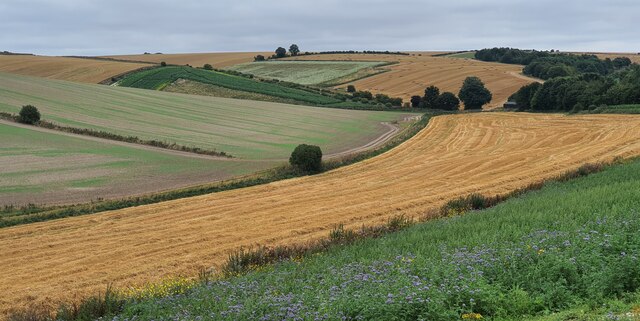
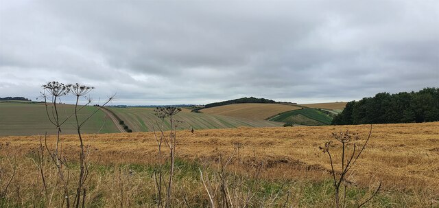
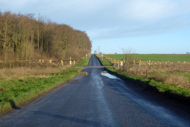
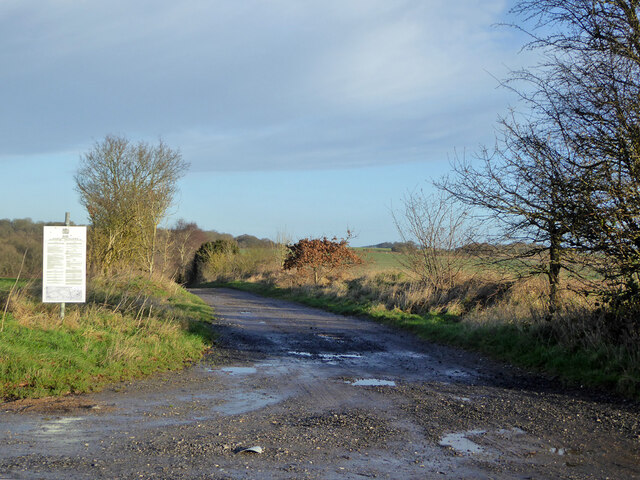
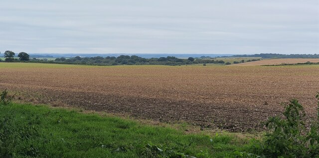
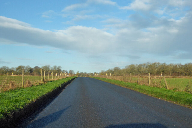
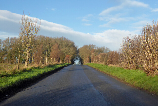
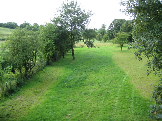
Cow Down is a picturesque area located in the county of Wiltshire, England. Situated amidst the rolling hills of the Downs, this landscape is characterized by its vast stretches of moorland. The area is a popular destination for nature enthusiasts, hikers, and birdwatchers.
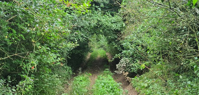
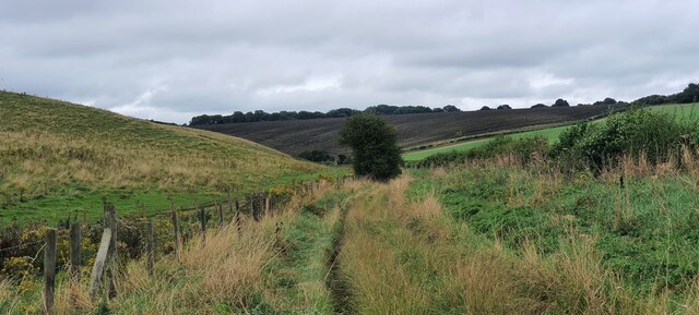
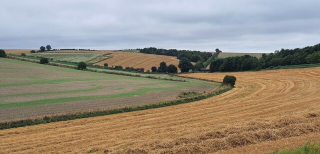
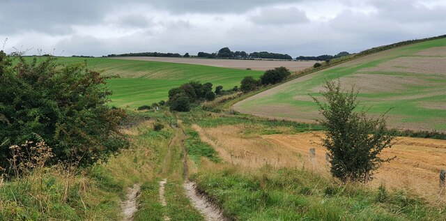
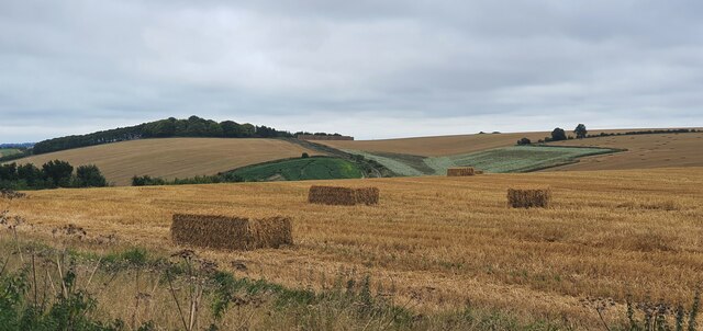
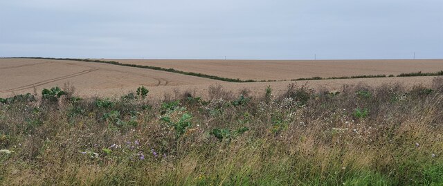
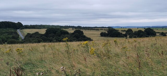
Covering an expansive area, Cow Down is home to a diverse range of flora and fauna. The moorland ecosystem supports a variety of plant species, including heather, gorse, and grasses. This creates a colorful and vibrant landscape, particularly during the summer months when the heather blooms in hues of purple and pink. The area is also known for its scattered patches of woodland, adding to the overall scenic beauty.
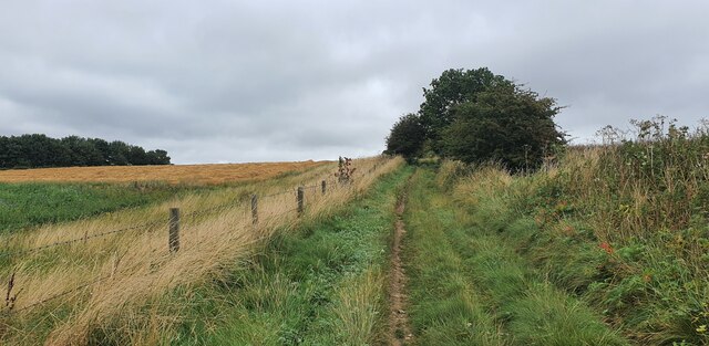
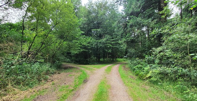
The Downs, with their gentle slopes and panoramic views, provide ample opportunities for outdoor activities such as walking, cycling, and horseback riding. Numerous trails crisscross the area, offering visitors a chance to explore the moorland and enjoy the tranquility of the surroundings. The open spaces of Cow Down are also perfect for picnicking and kite flying.
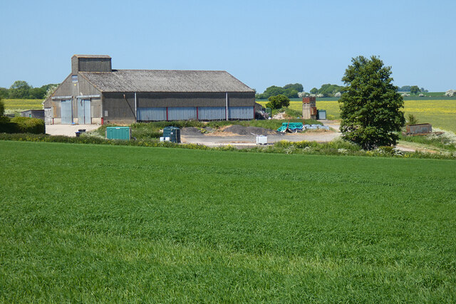
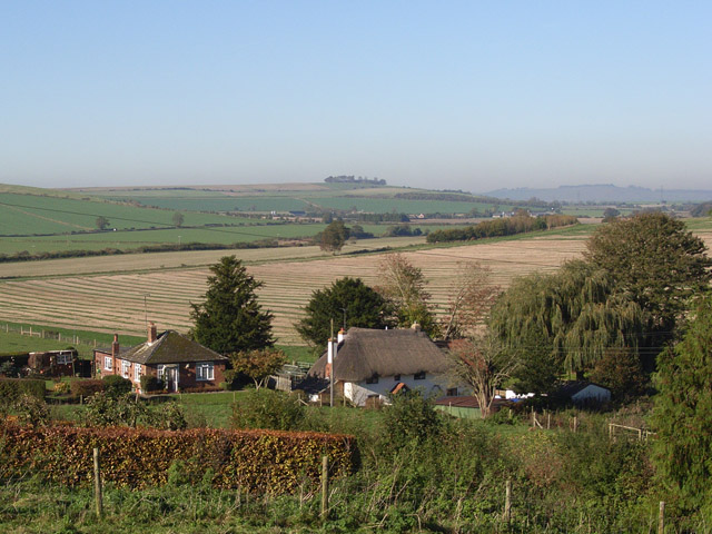
In addition to its natural beauty, the area is rich in cultural heritage. The nearby villages boast historic buildings, including charming thatched cottages and ancient churches. Visitors can immerse themselves in the local history by visiting the nearby archaeological sites, including ancient burial mounds and Iron Age hillforts.
Overall, Cow Down, Wiltshire is a stunning landscape that showcases the beauty of the Downs and moorland. With its diverse flora and fauna, extensive trails, and rich cultural heritage, it offers visitors a memorable and immersive experience in the heart of the English countryside.
If you have any feedback on the listing, please let us know in the comments section below.
Cow Down Images
Images are sourced within 2km of 51.305607/-1.7112242 or Grid Reference SU2056. Thanks to Geograph Open Source API. All images are credited.
Cow Down is located at Grid Ref: SU2056 (Lat: 51.305607, Lng: -1.7112242)
Unitary Authority: Wiltshire
Police Authority: Wiltshire
What 3 Words
///plates.marketing.costumed. Near Collingbourne Kingston, Wiltshire
Nearby Locations
Related Wikis

St Peter's Church, Everleigh
St Peter's Church, in Everleigh, Wiltshire, England was built in 1813 by John Morlidge for F.D. Astley. It is recorded in the National Heritage List for...

Everleigh, Wiltshire
Everleigh, pronounced and also sometimes spelt Everley, is a village and civil parish in east Wiltshire, England, about 4+1⁄2 miles (7 km) southeast of...
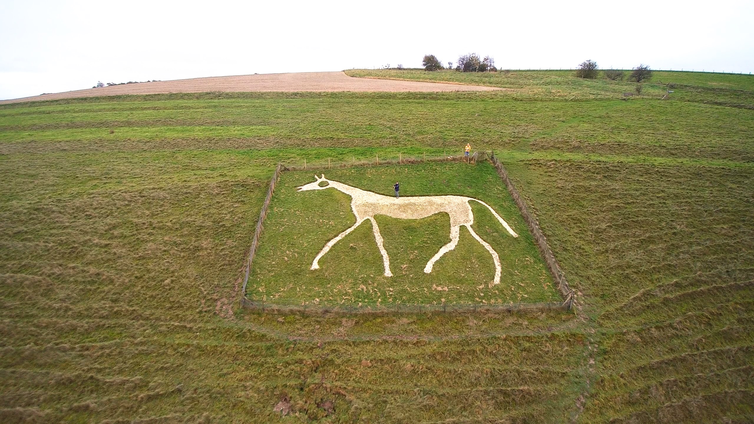
Pewsey White Horse
Pewsey White Horse is a hill figure of a white horse near the village of Pewsey, Wiltshire, England. Cut of chalk in 1937, it replaces an earlier horse...

Aughton, Wiltshire
Aughton is a hamlet adjacent to the village of Collingbourne Kingston in Wiltshire, England. Aughton took its name from Aeffe, the owner in the 10th century...
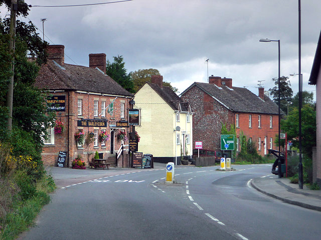
Collingbourne Kingston
Collingbourne Kingston is a village and civil parish about 8 miles (13 km) south of the market town of Marlborough in Wiltshire, England. The village,...
Collingbourne Kingston Halt railway station
Collingbourne Kingston Halt was a small railway station that served the village of Collingbourne Kingston in Wiltshire, England for less than 30 years...

Brunton House
Brunton House is a Grade II* listed house in Brunton, Wiltshire, England. It dates from the late seventeenth or early eighteenth centuries and is of brick...
Brunton, Wiltshire
Brunton is a hamlet adjacent to the village of Collingbourne Kingston in Wiltshire, England. Records of Brunton's existence date back to the 10th century...
Nearby Amenities
Located within 500m of 51.305607,-1.7112242Have you been to Cow Down?
Leave your review of Cow Down below (or comments, questions and feedback).