Oldhat Barrow

Heritage Site in Wiltshire

England

Oldhat Barrow

Easton Hill, Wiltshire A sunken bridleway to the west of Easton Hill.
Easton Hill, Wiltshire Credit: Rebecca A Wills

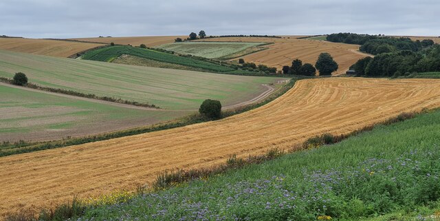
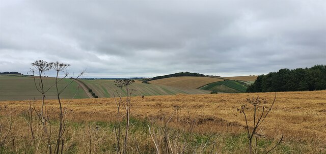
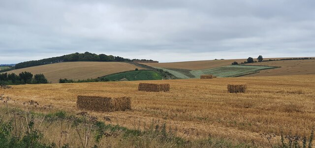
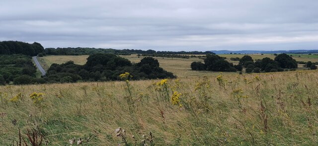
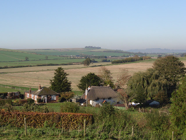
Oldhat Barrow is a significant heritage site located in the county of Wiltshire, England. It is an ancient burial mound that dates back to the Neolithic period, approximately 4,000 years ago. The site is situated within the picturesque landscape of the Pewsey Vale, surrounded by rolling hills and lush green fields.

The barrow itself is a circular earth mound, measuring around 30 meters in diameter and 3 meters in height. It is believed to have been constructed using turf and soil, with a central chamber made of stones. Archaeological excavations have revealed that the barrow was used for multiple burials, with the remains of several individuals discovered within the chamber.

The historical significance of Oldhat Barrow lies in its role as a burial site, providing insights into the burial customs and rituals of the Neolithic people. The presence of multiple burials suggests that the site held a communal significance, possibly serving as a gathering place for rituals and ceremonies.

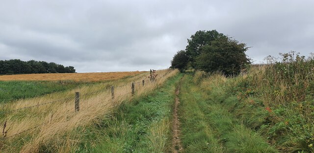
Oldhat Barrow is an important part of the cultural heritage of Wiltshire and is protected as a Scheduled Ancient Monument. The site is managed by the local authorities, who ensure its preservation and provide educational resources for visitors. It attracts both archaeology enthusiasts and nature lovers, offering stunning views of the surrounding countryside and an opportunity to connect with the ancient past.

If you have any feedback on the listing, please let us know in the comments section below.

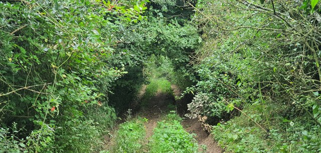
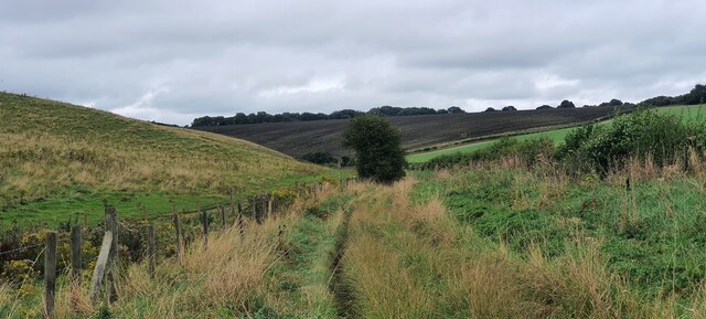
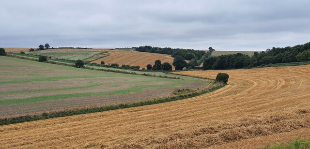
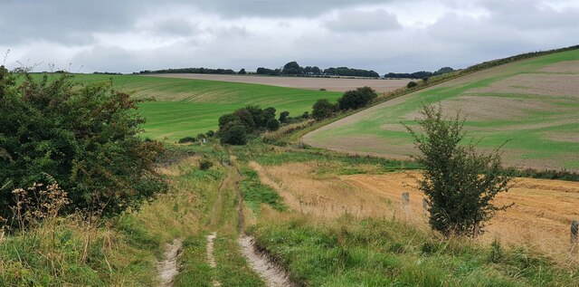
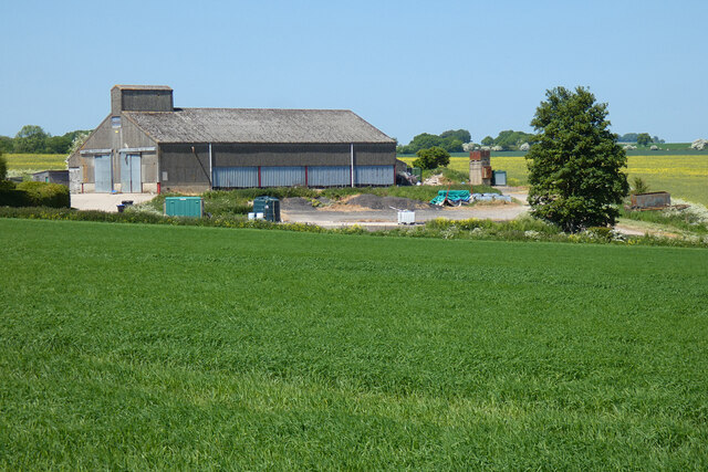
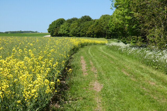
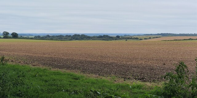
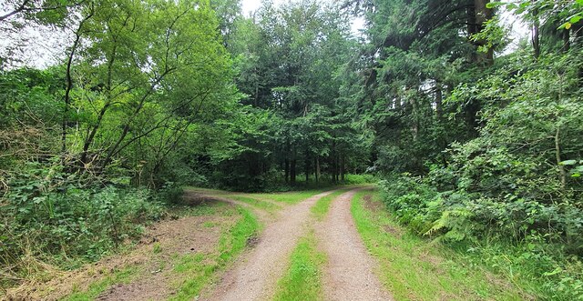
Oldhat Barrow Images

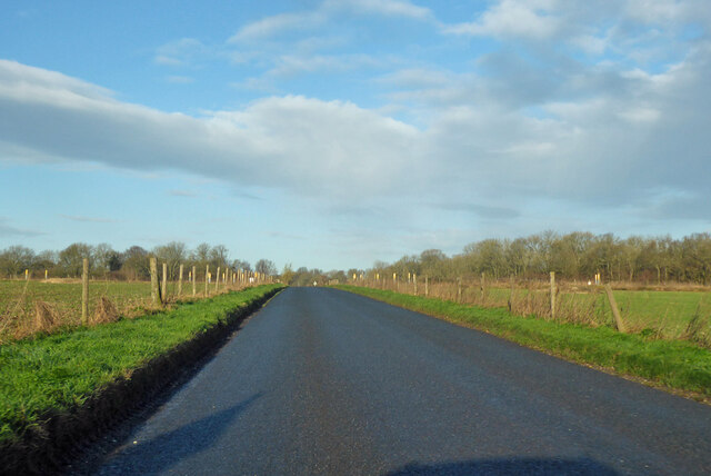
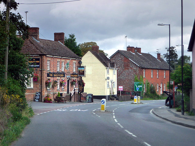
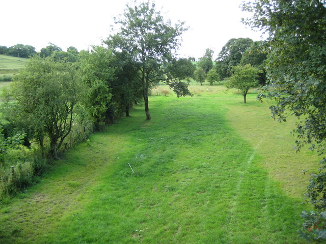
Images are sourced within 2km of 51.307/-1.705 or Grid Reference SU2056. Thanks to Geograph Open Source API. All images are credited.

Easton Hill, Wiltshire A sunken bridleway to the west of Easton Hill.
Easton Hill, Wiltshire
A sunken bridleway to the west of Easton Hill.
Easton Hill, Wiltshire Looking south along a bridleway to the south west of Easton Hill.
Easton Hill, Wiltshire
Looking south along a bridleway to the south west of Easton Hill.
Easton Hill, Wiltshire Looking across farmland on the southern slopes of Easton Hill, in the direction of Crow Down.
Easton Hill, Wiltshire
Looking across farmland on the southern slopes of Easton Hill, in the direction of Crow Down.
Easton Hill, Wiltshire Looking northwest along a bridleway to the south of Easton Hill.
Easton Hill, Wiltshire
Looking northwest along a bridleway to the south of Easton Hill.
Easton Hill, Wiltshire Looking northeast over farmland on the southern slopes of Easton Hill.
Easton Hill, Wiltshire
Looking northeast over farmland on the southern slopes of Easton Hill.
Aughton Down, Wiltshire Looking south along a bridleway on Aughton Down.
Aughton Down, Wiltshire
Looking south along a bridleway on Aughton Down.
Aughton Down, Wiltshire Looking east across harvested fields on Aughton Down.
Aughton Down, Wiltshire
Looking east across harvested fields on Aughton Down.
Aughton Down, Wiltshire Looking west over harvested fields on Aughton Down.
Aughton Down, Wiltshire
Looking west over harvested fields on Aughton Down.
Crow Down, Wiltshire Collecting hay bales on Crow Down.
Crow Down, Wiltshire
Collecting hay bales on Crow Down.
Tank crossing on Marlborough Road The land to either side is a military training area.
Tank crossing on Marlborough Road
The land to either side is a military training area.
Byway to Easton Royal and Milton Lilbourne The land to the left, but not the track, is a military training area, hence the sign. But by the time you have finished reading its requirements, there is no time to go anywhere anyway.
Byway to Easton Royal and Milton Lilbourne
The land to the left, but not the track, is a military training area, hence the sign. But by the time you have finished reading its requirements, there is no time to go anywhere anyway.
Farmland, Collingbourne Kingston A crop of beans and the copse on Thornhill Down.
Farmland, Collingbourne Kingston
A crop of beans and the copse on Thornhill Down.
Barn and farmland, Collingbourne Kingston At Summer Down Farm and viewed from the byway to the south.
Barn and farmland, Collingbourne Kingston
At Summer Down Farm and viewed from the byway to the south.
Farmland, Collingbourne Kingston A byway follows the field's edge beside oil-seed rape.
Farmland, Collingbourne Kingston
A byway follows the field's edge beside oil-seed rape.
Milton Wood, Wiltshire Looking west over farmland from the perimeter of Milton Wood.
Milton Wood, Wiltshire
Looking west over farmland from the perimeter of Milton Wood.
Everleigh Ashes, Wiltshire A fork in the track in Everleigh Ashes, Wiltshire.
Everleigh Ashes, Wiltshire
A fork in the track in Everleigh Ashes, Wiltshire.
Round Down, Wiltshire Looking towards West Everleigh Down from Round Down.
Round Down, Wiltshire
Looking towards West Everleigh Down from Round Down.
Road towards Pewsey The land to either side is a military training area.
Road towards Pewsey
The land to either side is a military training area.
Show me another place!

Oldhat Barrow is located at Grid Ref: SU2056 (Lat: 51.307, Lng: -1.705)

Unitary Authority: Wiltshire

Police Authority: Wiltshire

What 3 Words

///composts.closets.hunches. Near Collingbourne Kingston, Wiltshire

Related Wikis

St Peter's Church, Everleigh

St Peter's Church, in Everleigh, Wiltshire, England was built in 1813 by John Morlidge for F.D. Astley. It is recorded in the National Heritage List for...

Everleigh, Wiltshire

Everleigh, pronounced and also sometimes spelt Everley, is a village and civil parish in east Wiltshire, England, about 4+1⁄2 miles (7 km) southeast of...

Aughton, Wiltshire

Aughton is a hamlet adjacent to the village of Collingbourne Kingston in Wiltshire, England. Aughton took its name from Aeffe, the owner in the 10th century...

Collingbourne Kingston

Collingbourne Kingston is a village and civil parish about 8 miles (13 km) south of the market town of Marlborough in Wiltshire, England. The village,...

Collingbourne Kingston Halt railway station

Collingbourne Kingston Halt was a small railway station that served the village of Collingbourne Kingston in Wiltshire, England for less than 30 years...

Brunton House

Brunton House is a Grade II* listed house in Brunton, Wiltshire, England. It dates from the late seventeenth or early eighteenth centuries and is of brick...

Brunton, Wiltshire

Brunton is a hamlet adjacent to the village of Collingbourne Kingston in Wiltshire, England. Records of Brunton's existence date back to the 10th century...
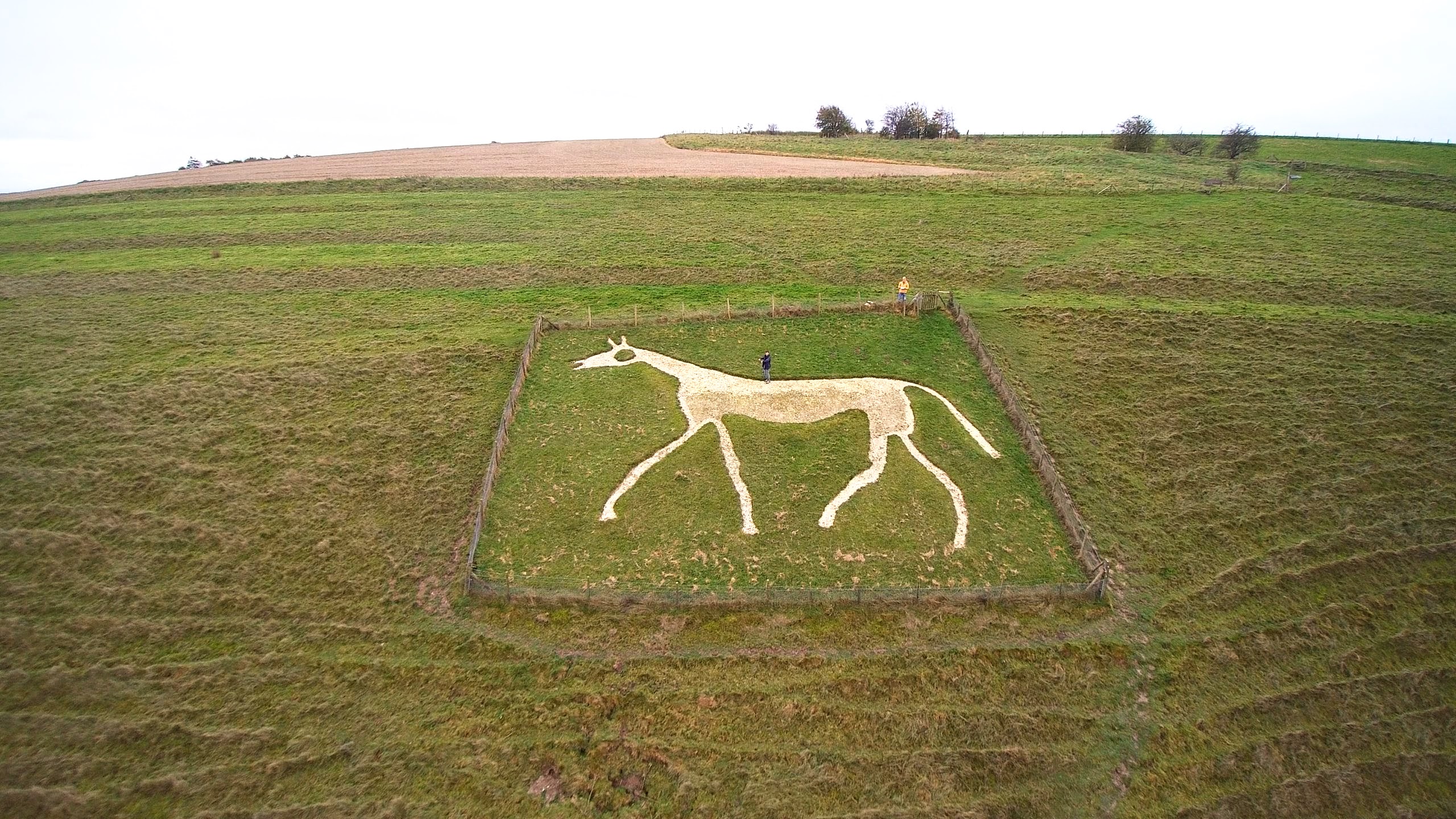
Pewsey White Horse

Pewsey White Horse is a hill figure of a white horse near the village of Pewsey, Wiltshire, England. Cut of chalk in 1937, it replaces an earlier horse...

Nearby Amenities

Located within 500m of 51.307,-1.705
Hog Down
Place: locality
Source: OS_OpenData_StreetView
Lat/Long: 51.3044063/-1.7039108
The data included in this document is from www.openstreetmap.org. The data is made available under ODbL.

Have you been to Oldhat Barrow?

Leave your review of Oldhat Barrow below (or comments, questions and feedback).