Oldhat Copse
Wood, Forest in Wiltshire
England
Oldhat Copse
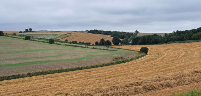
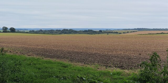
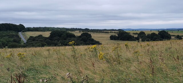
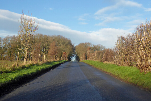
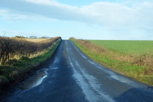
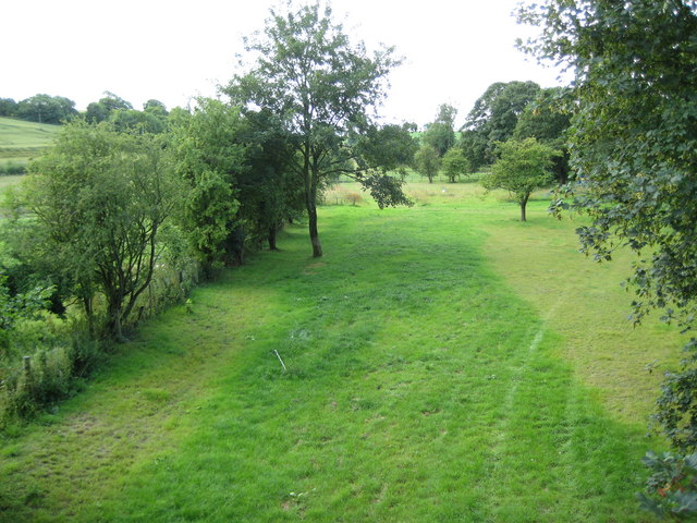
Oldhat Copse is a charming woodland located in the county of Wiltshire, England. Nestled in the beautiful countryside, this ancient woodland covers an area of approximately 50 acres and is renowned for its diverse flora and fauna.
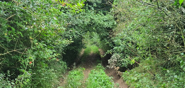
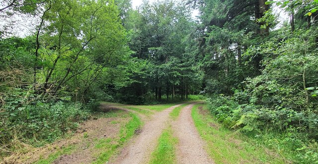
This enchanting copse is predominantly composed of deciduous trees, including oak, beech, and ash. Their towering canopies provide a serene and shady atmosphere, perfect for leisurely walks and nature enthusiasts. The forest floor is adorned with a carpet of bluebells in the spring, creating a breathtaking spectacle of vibrant colors.
The woodland is intersected by a meandering stream, adding to the tranquility and allure of the area. The stream is home to a variety of aquatic life, including trout and water voles, and provides a source of sustenance for the resident bird species.
Oldhat Copse is also rich in wildlife and biodiversity. Badgers, foxes, and deer are often spotted, and the woodland is a haven for numerous bird species, including woodpeckers, owls, and thrushes. Rare butterflies and insects can also be found in this ecologically diverse habitat.
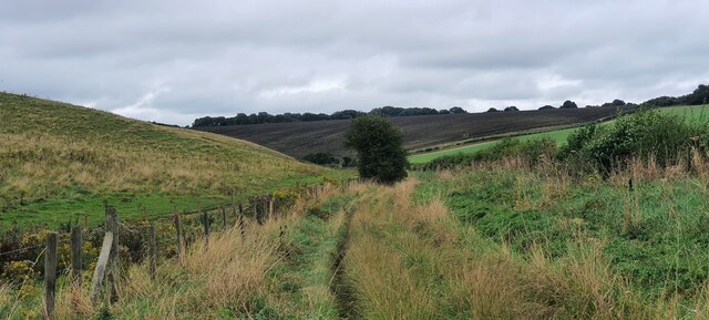
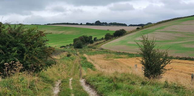
The copse is a popular destination for walkers, hikers, and nature enthusiasts. There are well-maintained paths that wind their way through the woodland, allowing visitors to explore its hidden treasures. Picnic areas and benches are scattered throughout, providing opportunities to rest and soak in the peaceful ambiance.
Oldhat Copse is a cherished natural gem in Wiltshire, offering a tranquil escape from the hustle and bustle of everyday life. Whether you are seeking a peaceful stroll or a chance to immerse yourself in nature's beauty, this enchanting woodland is sure to captivate and inspire.
If you have any feedback on the listing, please let us know in the comments section below.
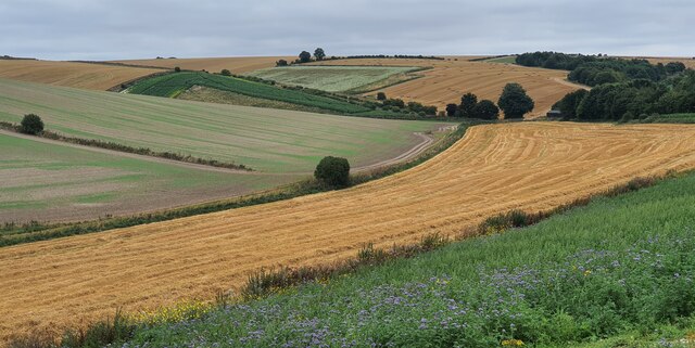
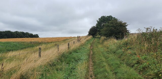
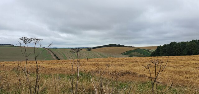
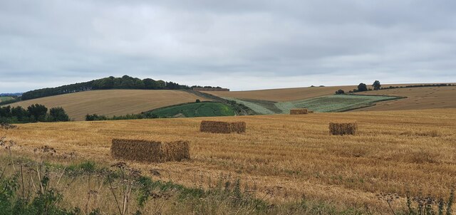
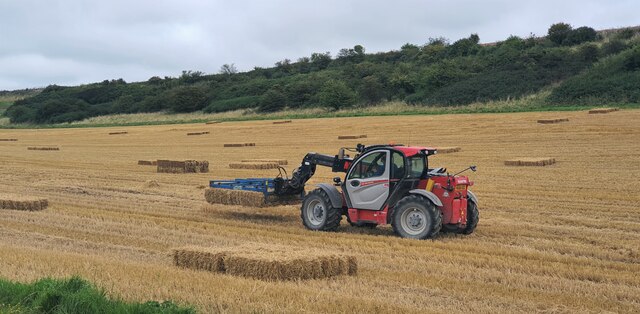
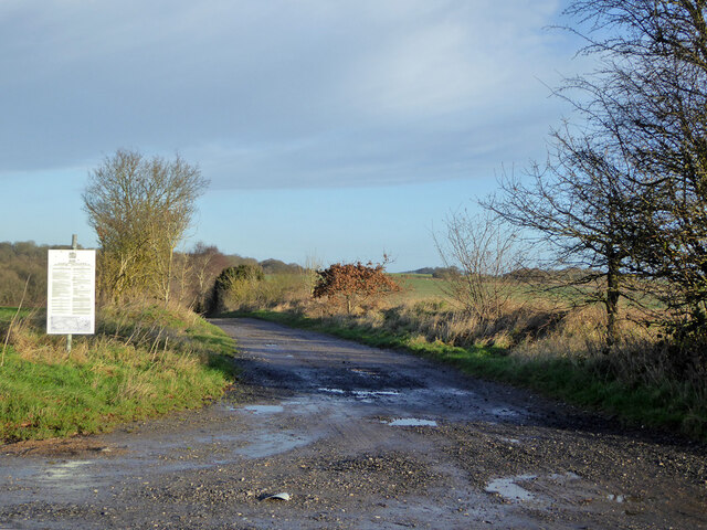
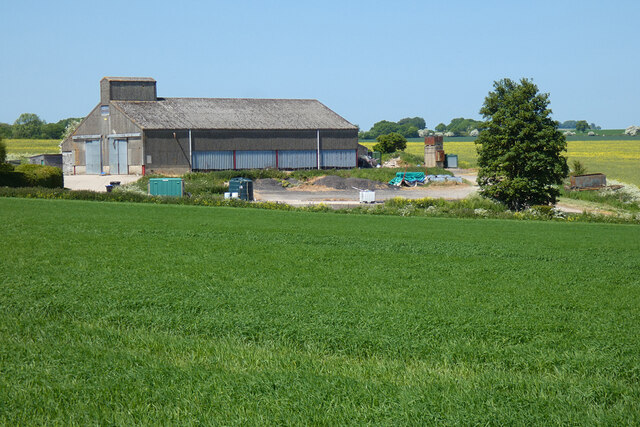
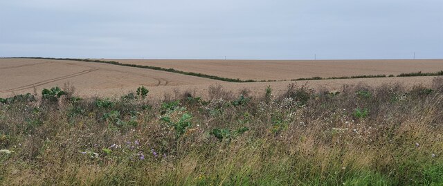
Oldhat Copse Images
Images are sourced within 2km of 51.309122/-1.7106714 or Grid Reference SU2056. Thanks to Geograph Open Source API. All images are credited.
Oldhat Copse is located at Grid Ref: SU2056 (Lat: 51.309122, Lng: -1.7106714)
Unitary Authority: Wiltshire
Police Authority: Wiltshire
What 3 Words
///confusion.buckling.lobbed. Near Collingbourne Kingston, Wiltshire
Nearby Locations
Related Wikis

St Peter's Church, Everleigh
St Peter's Church, in Everleigh, Wiltshire, England was built in 1813 by John Morlidge for F.D. Astley. It is recorded in the National Heritage List for...

Everleigh, Wiltshire
Everleigh, pronounced and also sometimes spelt Everley, is a village and civil parish in east Wiltshire, England, about 4+1⁄2 miles (7 km) southeast of...
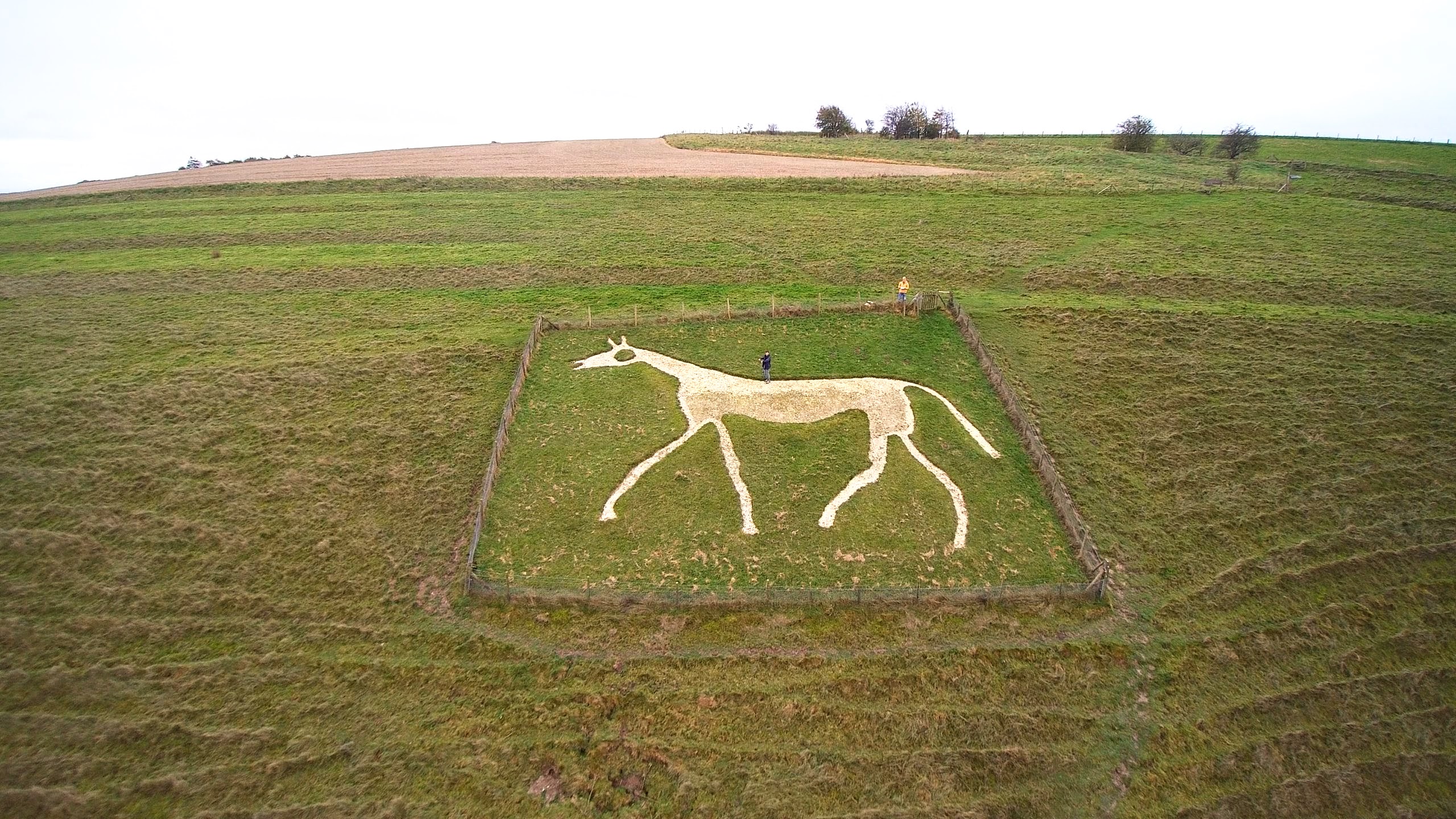
Pewsey White Horse
Pewsey White Horse is a hill figure of a white horse near the village of Pewsey, Wiltshire, England. Cut of chalk in 1937, it replaces an earlier horse...

Aughton, Wiltshire
Aughton is a hamlet adjacent to the village of Collingbourne Kingston in Wiltshire, England. Aughton took its name from Aeffe, the owner in the 10th century...
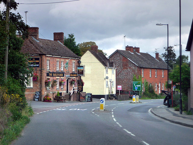
Collingbourne Kingston
Collingbourne Kingston is a village and civil parish about 8 miles (13 km) south of the market town of Marlborough in Wiltshire, England. The village,...
Collingbourne Kingston Halt railway station
Collingbourne Kingston Halt was a small railway station that served the village of Collingbourne Kingston in Wiltshire, England for less than 30 years...

Milton Lilbourne
Milton Lilbourne is a village and civil parish in the county of Wiltshire, England, in the Vale of Pewsey between Pewsey and Burbage. It is largely a mixed...

Easton Royal
Easton Royal is a village in the civil parish of Easton in Wiltshire, England, about 3 miles (5 km) east of Pewsey and 5 miles (8 km) south of Marlborough...
Nearby Amenities
Located within 500m of 51.309122,-1.7106714Have you been to Oldhat Copse?
Leave your review of Oldhat Copse below (or comments, questions and feedback).