Oldbury Hill and Styant's Wood

Heritage Site in Kent Tonbridge and Malling

England

Oldbury Hill and Styant's Wood

An orchard Orchards are a farming method for fruit. Most orchards are apple orchards, although pears, plums and other soft fruits are also grown. Due to changes in the economy and competition from abroad many orchards have been grubbed up and converted to other land uses. Fruit orchards are common across Kent (The Garden of England) and to a lesser extent Sussex.
An orchard Credit: N Chadwick

Oldbury Hill and Styant's Wood, located in Kent, England, form a unique heritage site with both historical and ecological significance. Oldbury Hill is an Iron Age hillfort, situated atop a prominent chalk hill overlooking the Medway Valley. The hillfort dates back over 2,000 years and is believed to have been occupied by a local tribe during the late Iron Age.

Covering an area of around 15 acres, Oldbury Hill features impressive earthworks, including a series of concentric ditches and ramparts that once served as defensive fortifications. The site provides a glimpse into the ancient past, offering visitors a chance to explore the remains of the original settlement and envision the daily lives of its inhabitants.

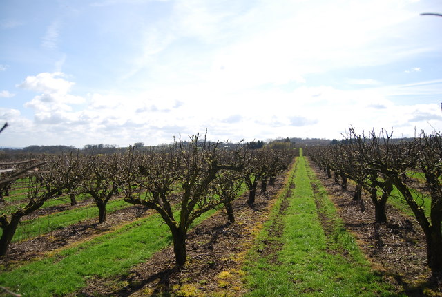
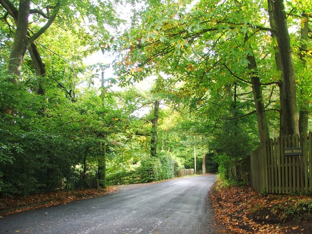
Adjacent to Oldbury Hill is Styant's Wood, a beautiful ancient woodland that has been protected as a nature reserve. With an area of approximately 23 hectares, the woodland is home to a diverse range of flora and fauna. Ancient oak and beech trees dominate the landscape, creating a rich habitat for wildlife.

Visitors to Styant's Wood can enjoy peaceful walks along well-maintained trails, taking in the tranquil atmosphere and observing the various plants and animals that inhabit the area. Bluebells carpet the woodland floor in spring, attracting a kaleidoscope of butterflies, while birds such as woodpeckers, nuthatches, and warblers can be heard and seen throughout the year.

Oldbury Hill and Styant's Wood provide a captivating blend of archaeological and ecological wonders, allowing visitors to immerse themselves in the history and natural beauty of the Kentish countryside. Whether exploring the ancient hillfort or wandering through the enchanting woodland, this heritage site offers a unique experience for all.

If you have any feedback on the listing, please let us know in the comments section below.

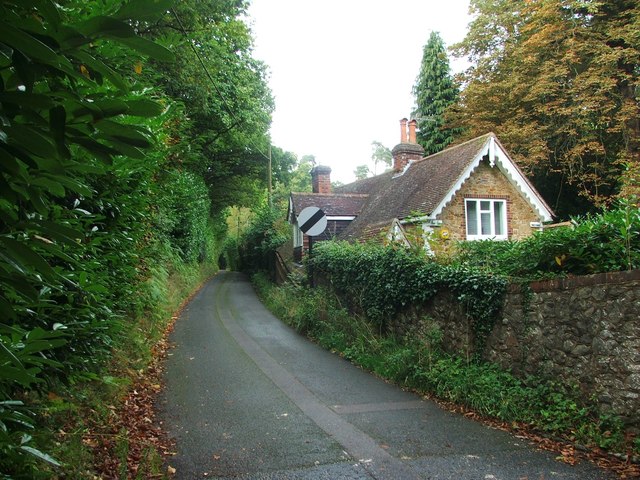
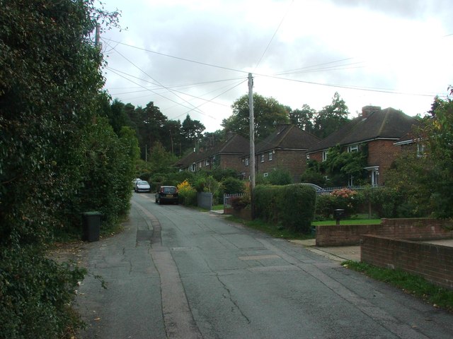
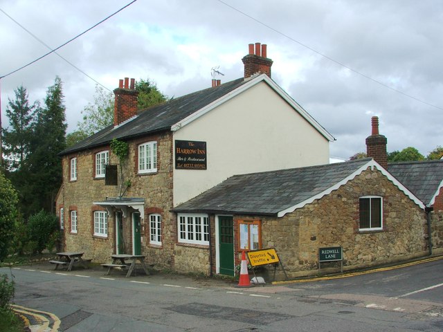
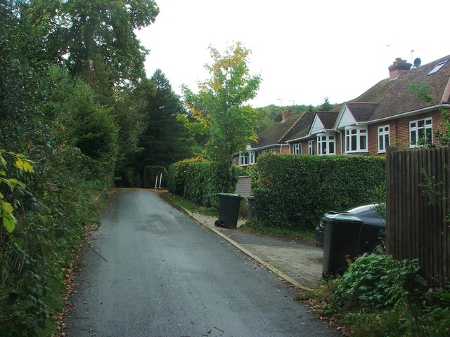
Oldbury Hill and Styant's Wood Images

Images are sourced within 2km of 51.282/0.267 or Grid Reference TQ5856. Thanks to Geograph Open Source API. All images are credited.

An orchard Orchards are a farming method for fruit. Most orchards are apple orchards, although pears, plums and other soft fruits are also grown. Due to changes in the economy and competition from abroad many orchards have been grubbed up and converted to other land uses. Fruit orchards are common across Kent (The Garden of England) and to a lesser extent Sussex.
An orchard
Orchards are a farming method for fruit. Most orchards are apple orchards, although pears, plums and other soft fruits are also grown. Due to changes in the economy and competition from abroad many orchards have been grubbed up and converted to other land uses. Fruit orchards are common across Kent (The Garden of England) and to a lesser extent Sussex.
Electricity Pylon
Electricity Pylon
The Bank, Ightham This is a row of (originally) four terrace houses with chequer brickwork, red with blue headers. The houses are Grade II listed, and the brickwork rat-trap bond according to the listing details, which also state that the houses were built in the 17C, which surprised me. Bank cottages to the left, also Grade II listed, were originally of the 16C.
The Bank, Ightham
This is a row of (originally) four terrace houses with chequer brickwork, red with blue headers. The houses are Grade II listed, and the brickwork rat-trap bond according to the listing details, which also state that the houses were built in the 17C, which surprised me. Bank cottages to the left, also Grade II listed, were originally of the 16C.
The Town House and the Old Forge House, Ightham A corner of the George and Dragon is on the far left, then The Town House, Grade II listed, a Hall-house, altered during the C16 and restored during the late C19. On the right is the Old Forge House, Grade II* listed. This is part of a 16C hall-house, dated 1555, with 19C additions.
The Town House and the Old Forge House, Ightham
A corner of the George and Dragon is on the far left, then The Town House, Grade II listed, a Hall-house, altered during the C16 and restored during the late C19. On the right is the Old Forge House, Grade II* listed. This is part of a 16C hall-house, dated 1555, with 19C additions.
War memorial and listed houses, Ightham Surprisingly, the two houses, listed Grade II, are together based on a 16C hall-house, heavily disguised in the 19C. The war memorial is apparently not listed yet.
War memorial and listed houses, Ightham
Surprisingly, the two houses, listed Grade II, are together based on a 16C hall-house, heavily disguised in the 19C. The war memorial is apparently not listed yet.
Busty Lane, Ightham The watercourse on the right is dry.
Busty Lane, Ightham
The watercourse on the right is dry.
The George & Dragon, Ightham
Borough Green Road, Ightham
Oldbury Lane, Ightham
Spring Lane, Ightham
Common Road, Ightham
The Harrow Inn, Ightham
Copt Hall Road, Ightham
Court Road, Ightham
Court Road, Ightham
Crown Point, Seal Chart
Pillar Box Lane, Seal Chart
Show me another place!

Oldbury Hill and Styant's Wood is located at Grid Ref: TQ5856 (Lat: 51.282, Lng: 0.267)

Administrative County: Kent

District: Tonbridge and Malling

Police Authority: Kent

What 3 Words

///cover.bright.keep. Near Borough Green, Kent

Related Wikis

Oldbury rock shelters

The Oldbury rock shelters are a complex of Middle Palaeolithic sites situated on the slopes of Oldbury hillfort near Ightham in the English county of Kent...

Oldbury Camp

Oldbury Camp (also known as Oldbury hill fort) is the largest Iron Age hill fort in south-eastern England. It was built in the 1st century BC by Celtic...

Seal Chart

Seal Chart is a village 2 miles (3 km) east of Sevenoaks in Kent, England. It is within the Sevenoaks local government district. It is in the civil parish...

Oldbury and Seal Chart

Oldbury and Seal Chart is a 212.4-hectare (525-acre) biological Site of Special Scientific Interest east of Sevenoaks in Kent, England. It is in the Kent...

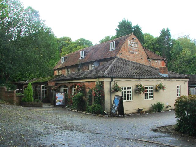
The Old House, Ightham Common

The Old House is a Grade II listed public house at Redwell Lane, Ightham Common, Kent TN15 9EE.It is on the Campaign for Real Ale's National Inventory...

Ightham

Ightham ( EYE-təm) is a parish and village in Kent, England, located approximately four miles east of Sevenoaks and six miles north of Tonbridge. The...

Ivy Hatch Nature Reserve

Ivy Hatch Nature Reserve in Ivy Hatch, north of Tonbridge in Kent, is a 0.5-hectare (1.2-acre) reserve managed by the Kent Wildlife Trust.Several streams...

Kemsing railway station

Kemsing railway station serves Kemsing in Kent, England, although the station is located on the other side of the M26 motorway to the village. It is 26...

Nearby Amenities

Located within 500m of 51.282,0.267
Bus Stop
Spring Lane
Local Ref: adj
Naptan AtcoCode: 2400AO60290A
Naptan Bearing: E
Naptan BusStopType: MKD
Naptan CommonName: Spring Lane
Naptan Crossing: Spring Lane
Naptan Indicator: adj
Naptan Landmark: Common Road
Naptan NaptanCode: kntjapmp
Naptan RevisionNumber: 3
Naptan Status: act
Naptan Street: Sevenoaks Road
Naptan Verified: no
Public Transport: platform
Ref: kntjapmp
Shelter: yes
Source: naptan_import
Source Date: 2018-06-15
Lat/Long: 51.281782/0.2739513
Oldbury Wood
Natural: wood
Lat/Long: 51.2810834/0.2666077
Oldbury Camp
Place: locality
Website: https://www.pastscape.org.uk/hob.aspx?hob_id=409479
Wikidata: Q12064762
Wikipedia: en:Oldbury Camp
Lat/Long: 51.282789/0.2665433
Oldbury Hill
Natural: peak
Lat/Long: 51.2790584/0.2664982
Parking
Access: public
Capacity: 2
Parking: surface
Lat/Long: 51.2822997/0.2610783
Parking
Lat/Long: 51.2830605/0.260815
The data included in this document is from www.openstreetmap.org. The data is made available under ODbL.

Have you been to Oldbury Hill and Styant's Wood?

Leave your review of Oldbury Hill and Styant's Wood below (or comments, questions and feedback).