Middleton Moor
Downs, Moorland in Derbyshire Derbyshire Dales
England
Middleton Moor
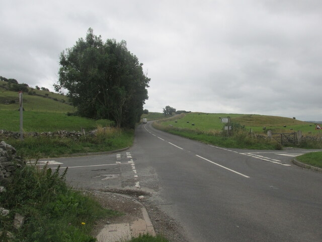
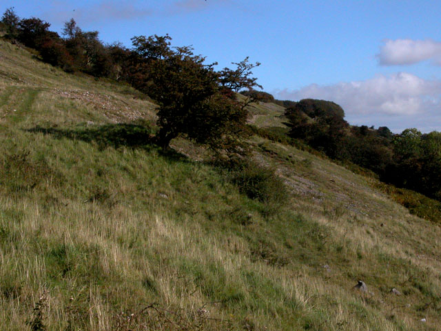
Middleton Moor is a picturesque area located in Derbyshire, England. Covering a vast expanse of rolling hills, downs, and moorland, it is a haven for nature enthusiasts and those seeking tranquility in the great outdoors.
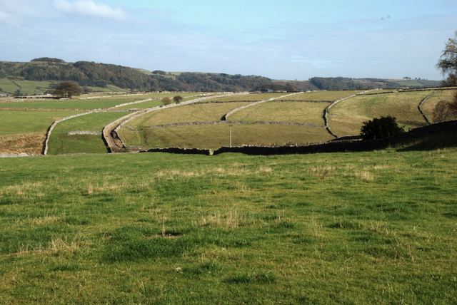
Situated in the southern part of the Peak District National Park, Middleton Moor offers breathtaking views of the surrounding countryside. The moorland is characterized by its open grassy expanses, heather, and scattered patches of bracken. This diverse landscape provides a habitat for a variety of wildlife, including birds such as curlews, lapwings, and red grouse.
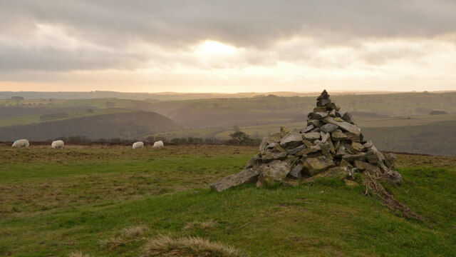
The area is crisscrossed by a network of footpaths and trails, allowing visitors to explore the moor at their own pace. Hikers can choose from a range of routes, from leisurely strolls to more challenging hikes up the nearby hills. Along the way, they may encounter ancient stone circles and burial mounds, evidence of the area's rich historical past.
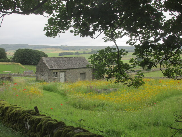
Middleton Moor is also home to several species of rare plants, including the carnivorous sundew and the delicate cotton grass. These unique flora add a touch of beauty and intrigue to the landscape.
In addition to its natural wonders, Middleton Moor offers a peaceful and idyllic setting for picnics and outdoor activities. Visitors can enjoy a leisurely day out, taking in the fresh air and breathtaking views, or simply relaxing and immersing themselves in the tranquility of the surroundings.
Overall, Middleton Moor is a hidden gem in Derbyshire, offering a captivating blend of natural beauty, historical significance, and a peaceful escape from the hustle and bustle of everyday life.
If you have any feedback on the listing, please let us know in the comments section below.
Middleton Moor Images
Images are sourced within 2km of 53.269134/-1.6982099 or Grid Reference SK2074. Thanks to Geograph Open Source API. All images are credited.


Middleton Moor is located at Grid Ref: SK2074 (Lat: 53.269134, Lng: -1.6982099)
Administrative County: Derbyshire
District: Derbyshire Dales
Police Authority: Derbyshire
What 3 Words
///shunted.hosts.roosters. Near Tideswell, Derbyshire
Nearby Locations
Related Wikis

Bretton, Derbyshire
Bretton, Derbyshire is a hamlet in Derbyshire, England. Set on a ridge with a panoramic view, it has few inhabitants but boasts a pub called the Barrel...
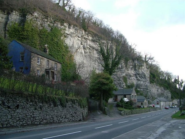
Middleton Dale
Middleton Dale is a steep-sided, carboniferous limestone valley in the Derbyshire Peak District of England. The village of Stoney Middleton lies at the...
Longstone Edge
Longstone Edge is a limestone ridge in the Peak District National Park, in Derbyshire, England. Longstone Edge is immediately north of the village of Great...

Coombs Dale
Coombs Dale is a steep-sided, dry carboniferous limestone valley in the Derbyshire Peak District of England. The village of Calver lies about 1 km to the...
Brosterfield
Brosterfield is a hamlet in Derbyshire, England. It is located close to Foolow, where the road to that village joins the A623 road.

Wardlow, Derbyshire
Wardlow is a parish and linear village in the Derbyshire Dales two miles from Tideswell, Derbyshire, England. The population at the 2011 census was 118...

St Lawrence's Church, Eyam
St Lawrence’s Church, Eyam is a Grade II* listed parish church in the Church of England in Eyam, Derbyshire. == History == The church is medieval with...
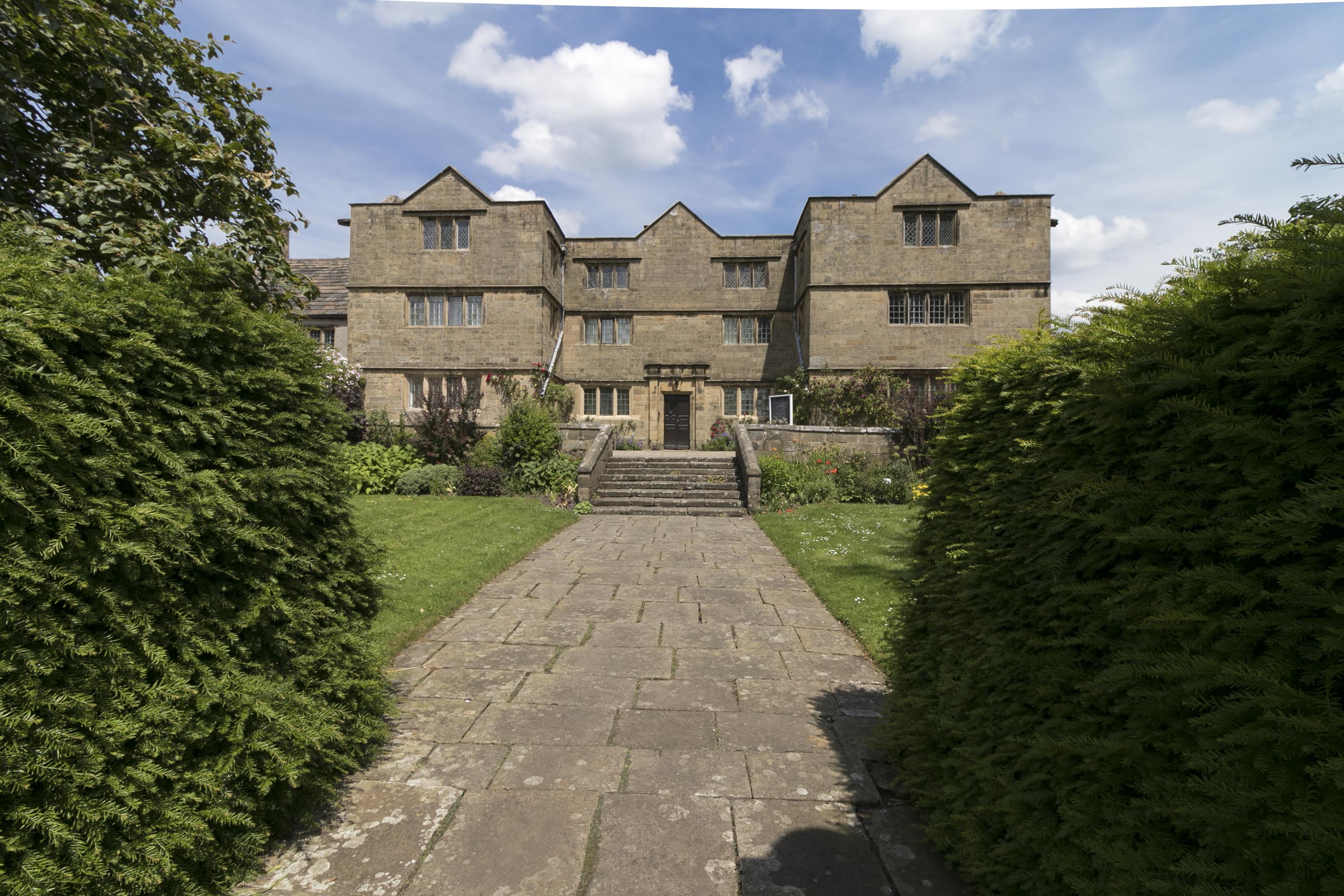
Eyam Hall
Eyam Hall is a country house within the civil parish of Eyam, Derbyshire, located to the west of St Lawrence's Church, Eyam. It is recorded in the National...
Nearby Amenities
Located within 500m of 53.269134,-1.6982099Have you been to Middleton Moor?
Leave your review of Middleton Moor below (or comments, questions and feedback).