Barrington Park

Downs, Moorland in Gloucestershire Cotswold

England

Barrington Park

Old Milestone, A40, Barrington turn Just East of the car sales on the North side of the road. On the kept grass verge.

Inscription (was): Gloucester 26 / Oxford 20

Milestone Society National ID: GL_OXGL20
Old Milestone, A40, Barrington turn Credit: Mr Red

Barrington Park is a picturesque estate located in the county of Gloucestershire, England. Nestled amidst the stunning Cotswold Hills, this idyllic parkland spans across vast expanses of downs and moorland, offering visitors a tranquil escape into nature's beauty.

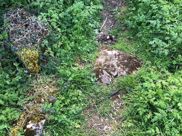
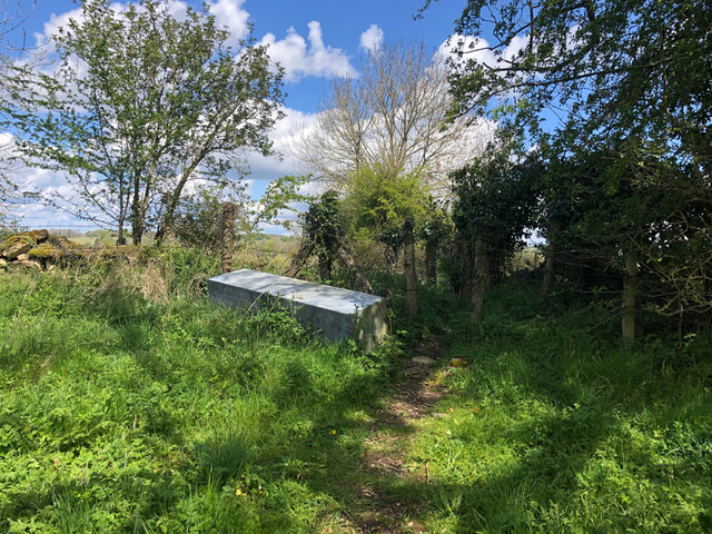
Covering an area of approximately 1,500 acres, Barrington Park is known for its diverse landscape. The downs, characterized by rolling hills and lush grasslands, provide a perfect setting for leisurely walks and picnics while enjoying breathtaking panoramic views of the surrounding countryside. Visitors can often spot grazing livestock, including sheep and cattle, adding to the rural charm of the area.

The moorland, on the other hand, offers a unique environment with its heather-covered hills and scattered woodlands. This habitat attracts a variety of wildlife, making it a haven for nature enthusiasts and birdwatchers. Rare species such as the Eurasian curlew and the European nightjar can be spotted in this area, along with numerous other bird species that call Barrington Park their home.

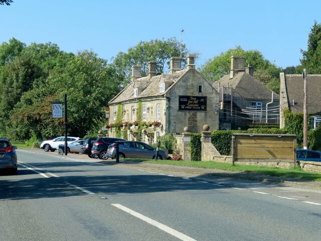
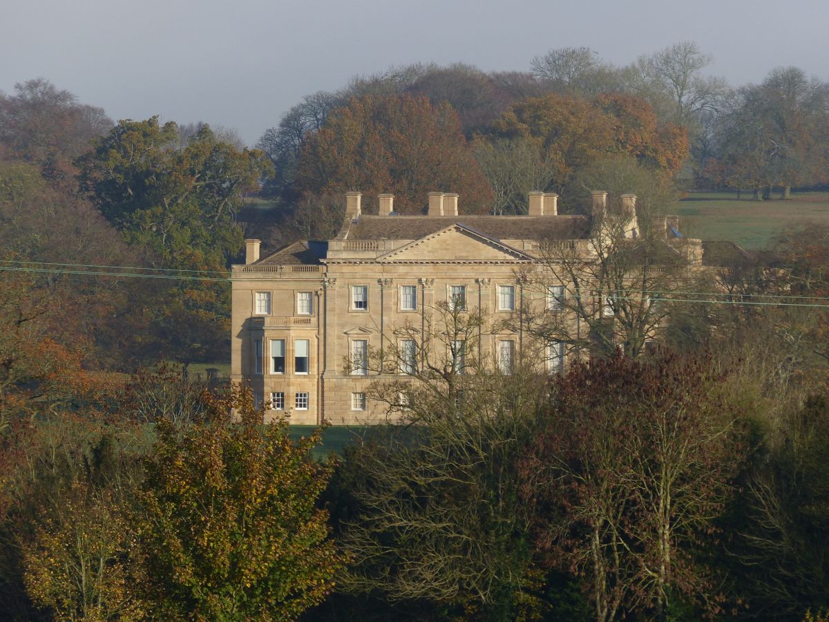
In addition to its natural beauty, Barrington Park boasts a rich cultural heritage. The estate features a historic manor house, dating back to the 16th century, which adds a touch of grandeur to the surroundings. The house is not open to the public but can be admired from the outside, showcasing its exquisite architecture and well-manicured gardens.

Overall, Barrington Park in Gloucestershire offers a perfect blend of natural beauty and historical charm. Whether visitors seek a peaceful retreat in nature, an opportunity to spot wildlife, or a glimpse into the region's past, this estate provides a memorable experience for all who venture into its picturesque grounds.

If you have any feedback on the listing, please let us know in the comments section below.

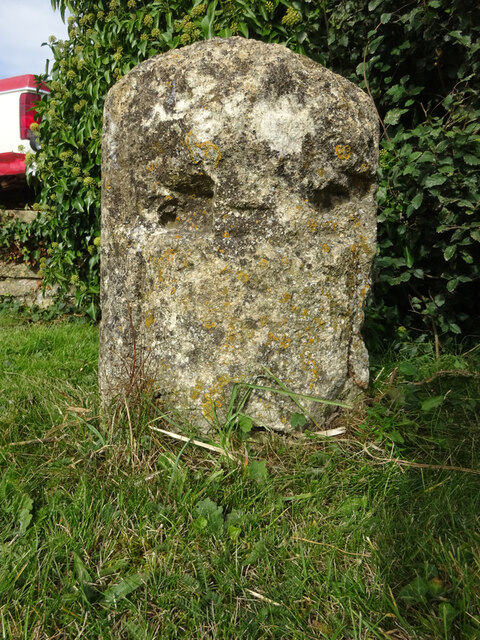
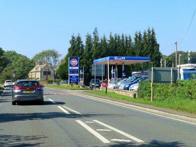
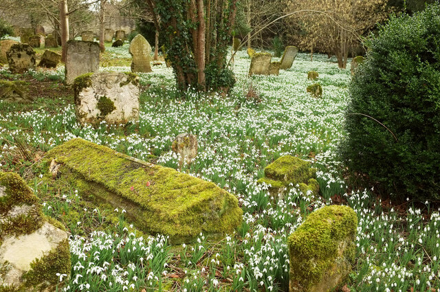
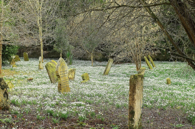
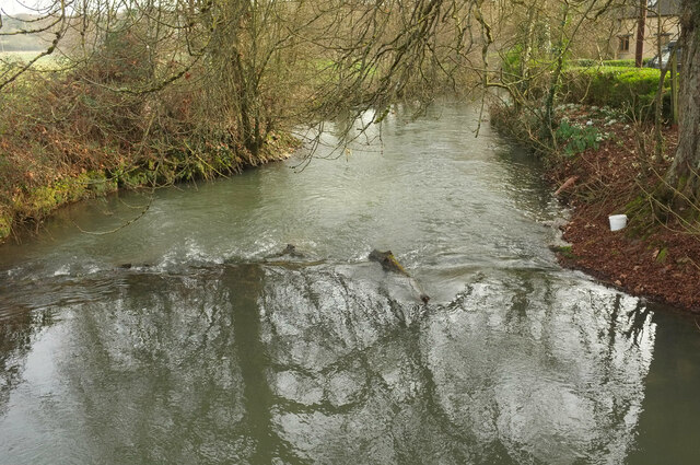
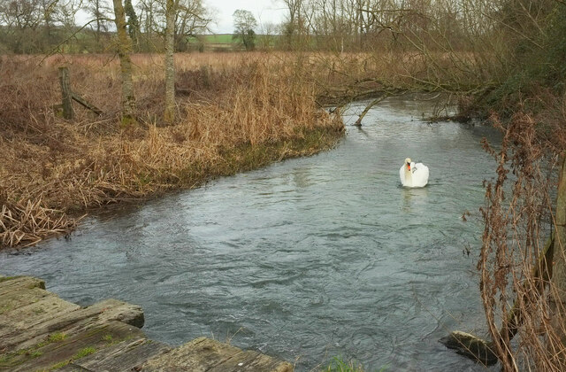
Barrington Park Images

Images are sourced within 2km of 51.823495/-1.7081891 or Grid Reference SP2013. Thanks to Geograph Open Source API. All images are credited.

Old Milestone, A40, Barrington turn Just East of the car sales on the North side of the road. On the kept grass verge.

Inscription (was): Gloucester 26 / Oxford 20

Milestone Society National ID: GL_OXGL20
Old Milestone, A40, Barrington turn
Just East of the car sales on the North side of the road. On the kept grass verge. Inscription (was): Gloucester 26 / Oxford 20 Milestone Society National ID: GL_OXGL20
The A40 passes Barrington Filling Station
The Inn For All Seasons by the A40
Snowdrops, Great Barrington South of St Mary's church, the churchyard is almost entirely filled with snowdrops.
Snowdrops, Great Barrington
South of St Mary's church, the churchyard is almost entirely filled with snowdrops.
Snowdrops, Great Barrington The southeast sector of the churchyard; like <a href="https://www.geograph.org.uk/photo/7095302">SP2013 : Snowdrops, Great Barrington</a>, spectacularly covered in snowdrops.
Snowdrops, Great Barrington
The southeast sector of the churchyard; like SP2013 : Snowdrops, Great Barrington, spectacularly covered in snowdrops.
River Windrush Looking downstream from the road between Great and Little Barrington, near the Fox Inn - an outbuilding can be seen on the right..
River Windrush
Looking downstream from the road between Great and Little Barrington, near the Fox Inn - an outbuilding can be seen on the right..
Swan on the Windrush Seen from where the D'Arcy Dalton Way crosses a footbridge on BARRINGTON FOOTPATH 9 KBA9. What you can see in the foreground is, however, an older bridge.
Swan on the Windrush
Seen from where the D'Arcy Dalton Way crosses a footbridge on BARRINGTON FOOTPATH 9 KBA9. What you can see in the foreground is, however, an older bridge.
A40 at Barrington Filling Station
Stone Stile, Little Barrington On Gloucestershire footpath KBA14 near the "Inn for all Seasons" (on A40). This is the close-up, the context view is <a href="https://www.geograph.org.uk/photo/7251622">SP2012 : Stone Stile, Little Barrington</a>.
Stone Stile, Little Barrington
On Gloucestershire footpath KBA14 near the "Inn for all Seasons" (on A40). This is the close-up, the context view is SP2012 : Stone Stile, Little Barrington.
Stone Stile, Little Barrington On Gloucestershire footpath KBA14 near the "Inn for all Seasons" (on A40). This is the context view, the close-up is <a href="https://www.geograph.org.uk/photo/7251621">SP2012 : Stone Stile, Little Barrington</a>.
Stone Stile, Little Barrington
On Gloucestershire footpath KBA14 near the "Inn for all Seasons" (on A40). This is the context view, the close-up is SP2012 : Stone Stile, Little Barrington.
Stone Stile, Little Barrington A private stile off the North side of Middle Road.
The view looking to the road is <a href="https://www.geograph.org.uk/photo/7645456">SP2012 : Stone Stile Little Barrington</a>.
Stone Stile, Little Barrington
A private stile off the North side of Middle Road. The view looking to the road is SP2012 : Stone Stile Little Barrington.
Stone Stile, Little Barrington GS2702 On Gloucestershire footpath KBA13, between field on Green Drive Farm, looking NW towards the distant cricket pavilion. The view looking back at farm building etc is <a href="https://www.geograph.org.uk/photo/7262233">SP2012 : Stone Stile, Little Barrington GS2702</a>.
Stone Stile, Little Barrington GS2702
On Gloucestershire footpath KBA13, between field on Green Drive Farm, looking NW towards the distant cricket pavilion. The view looking back at farm building etc is SP2012 : Stone Stile, Little Barrington GS2702.
Stone Stile, Little Barrington GS2702 On Gloucestershire footpath KBA13, between fields on Green Drive Farm, looking SE at farm building, the view NW towards the distant cricket pavilion is <a href="https://www.geograph.org.uk/photo/7262232">SP2012 : Stone Stile, Little Barrington GS2702</a>
Stone Stile, Little Barrington GS2702
On Gloucestershire footpath KBA13, between fields on Green Drive Farm, looking SE at farm building, the view NW towards the distant cricket pavilion is SP2012 : Stone Stile, Little Barrington GS2702
Stone Stile, Little Barrington GS2703 On Gloucestershire footpath KBA16, near Ivy Cottage. This view looks SW, the view looking back to the road is <a href="https://www.geograph.org.uk/photo/7262255">SP2012 : Stone Stile, Little Barrington GS2703</a>.
Stone Stile, Little Barrington GS2703
On Gloucestershire footpath KBA16, near Ivy Cottage. This view looks SW, the view looking back to the road is SP2012 : Stone Stile, Little Barrington GS2703.
Stone Stile, Little Barrington GS2703 On Gloucestershire footpath KBA16, near Ivy Cottage. This view looks SW, the view looking back to the road is <a href="https://www.geograph.org.uk/photo/7262252">SP2012 : Stone Stile, Little Barrington GS2703</a>.
Stone Stile, Little Barrington GS2703
On Gloucestershire footpath KBA16, near Ivy Cottage. This view looks SW, the view looking back to the road is SP2012 : Stone Stile, Little Barrington GS2703.
Stone Stile, Little Barrington Opposite the Fox Inn, not on a registered footpath. It appears to be part of a desire line that cuts off a corner.
The alternative view looking out is <a href="https://www.geograph.org.uk/photo/7645460">SP2013 : Stone Stile Little Barrington</a>
Stone Stile, Little Barrington
Opposite the Fox Inn, not on a registered footpath. It appears to be part of a desire line that cuts off a corner. The alternative view looking out is SP2013 : Stone Stile Little Barrington
Stone Stile, Great Barrington In a recently re-built garden wall to "the Glebe Barn", looking North.
Stone Stile, Great Barrington
In a recently re-built garden wall to "the Glebe Barn", looking North.
Stone Stile, Great Barrington A private stile in a wall rebuilt between June and December 2009, to a small field.
Stone Stile, Great Barrington
A private stile in a wall rebuilt between June and December 2009, to a small field.
Show me another place!

Barrington Park is located at Grid Ref: SP2013 (Lat: 51.823495, Lng: -1.7081891)

Administrative County: Gloucestershire

District: Cotswold

Police Authority: Gloucestershire

What 3 Words

///asks.glows.toast. Near Burford, Oxfordshire

Nearby Locations

Barrington Park

Related Wikis

Have you been to Barrington Park?

Leave your review of Barrington Park below (or comments, questions and feedback).