Cranemoor Common

Downs, Moorland in Hampshire New Forest

England

Cranemoor Common

The swings and caravans in the now gone Cobb's Holiday park Date is approximate.
The swings and caravans in the now gone Cobb's Holiday park Credit: Jamie Cormack

Cranemoor Common, located in Hampshire, England, is a picturesque area known for its stunning Downs and Moorland landscapes. Covering approximately 500 acres, the common is a popular destination for nature enthusiasts and outdoor lovers.

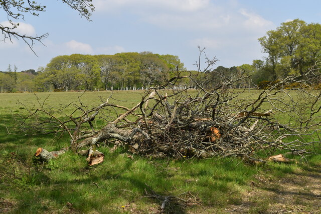
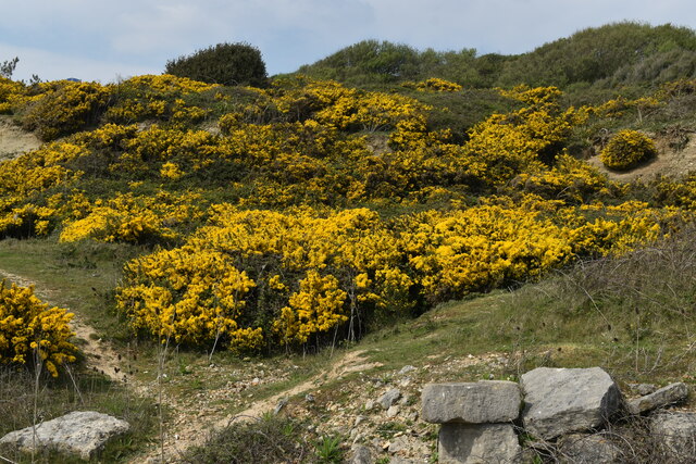
The common boasts a diverse range of flora and fauna, making it a haven for wildlife. Visitors can expect to see a variety of bird species, including buzzards, kestrels, and skylarks, as well as small mammals such as rabbits and foxes. The rich vegetation consists of heather, gorse, and bracken, creating a vibrant and colorful backdrop for visitors to enjoy.

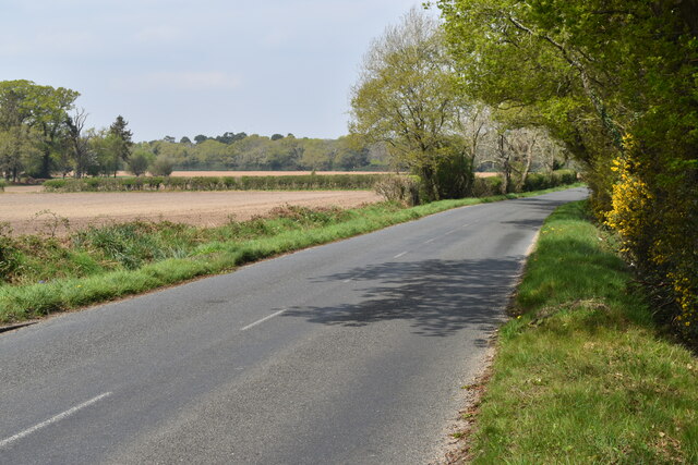
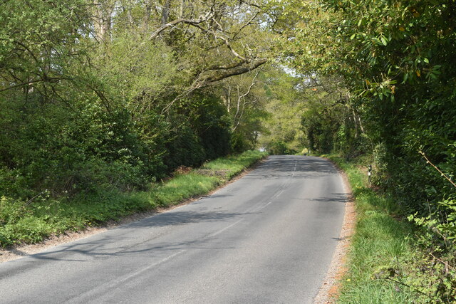
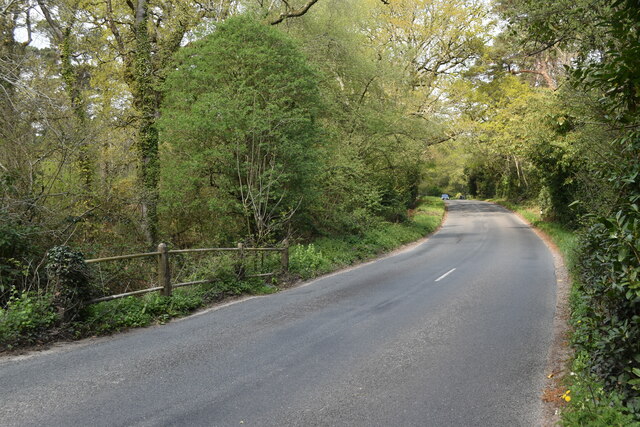
The common is crisscrossed by a network of well-maintained footpaths and trails, making it easy for visitors to explore the area on foot or by bike. These paths offer breathtaking views of the surrounding countryside, with rolling hills and sweeping vistas stretching as far as the eye can see.

In addition to its natural beauty, Cranemoor Common is also home to several historical landmarks. The remains of an ancient hill fort can still be seen on the common, providing a glimpse into the area's rich history. Archaeological finds, including Roman pottery and Iron Age artifacts, have been discovered here, further adding to its historical significance.

Cranemoor Common offers a peaceful retreat from the hustle and bustle of everyday life, providing visitors with the opportunity to immerse themselves in the beauty of the Hampshire countryside. Whether you're seeking a tranquil walk, a spot of birdwatching, or a place to simply relax and enjoy the stunning scenery, Cranemoor Common is the perfect destination.

If you have any feedback on the listing, please let us know in the comments section below.

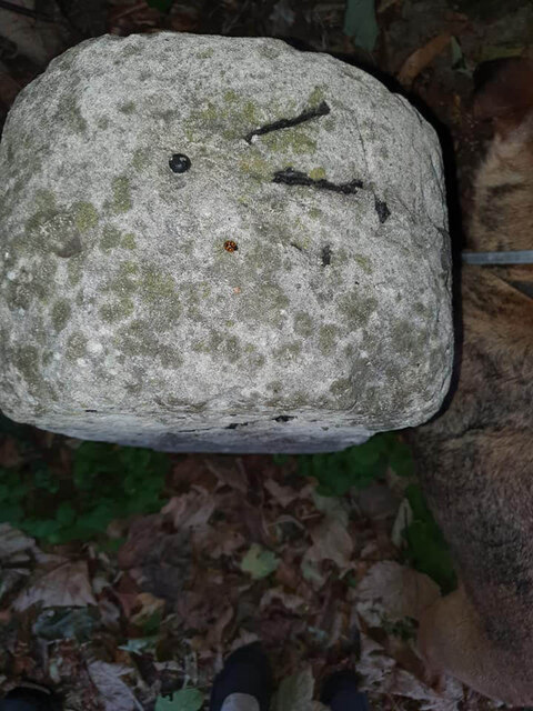
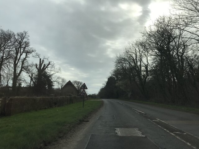
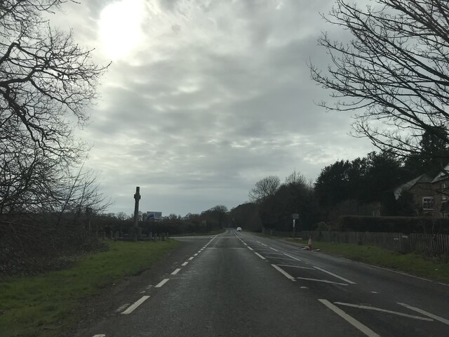
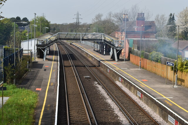
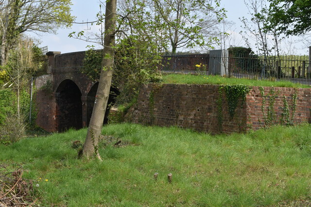
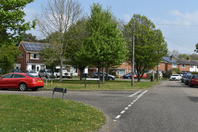
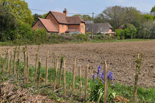
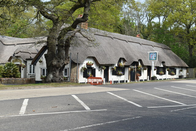
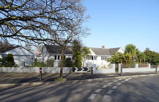
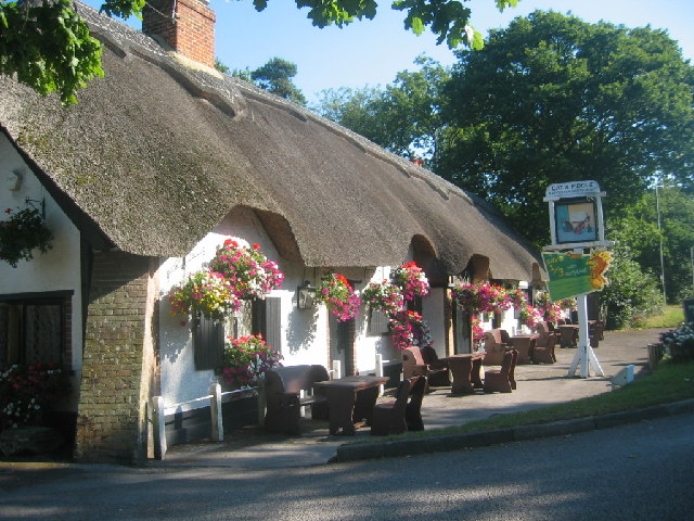
Cranemoor Common Images

Images are sourced within 2km of 50.753833/-1.7064501 or Grid Reference SZ2094. Thanks to Geograph Open Source API. All images are credited.

The swings and caravans in the now gone Cobb's Holiday park Date is approximate.
The swings and caravans in the now gone Cobb's Holiday park
Date is approximate.
Old Milestone, A337 Carved stone post by the A337, in parish of CHRISTCHURCH (CHRISTCHURCH District), Highcliffe, 17m E of Churchyard gate; 70m E of junction with Castle Avenue, by the road, on North side of road. Dorset 3 (limestone) Erected by the Lymington, Lyndhurst & Rumbridge turnpike trust in the 19th century. Rivet Benchmark representing 26.3 m ASL. View of mileage see <a href="https://www.geograph.org.uk/photo/6072741">SZ2093 : Old Milestone by the A337, Lymington Road, Highcliffe</a>.

Inscription reads:  9 / L // IM

Milestone Society National ID: HA_LYCC09
Old Milestone, A337
Carved stone post by the A337, in parish of CHRISTCHURCH (CHRISTCHURCH District), Highcliffe, 17m E of Churchyard gate; 70m E of junction with Castle Avenue, by the road, on North side of road. Dorset 3 (limestone) Erected by the Lymington, Lyndhurst & Rumbridge turnpike trust in the 19th century. Rivet Benchmark representing 26.3 m ASL. View of mileage see SZ2093 : Old Milestone by the A337, Lymington Road, Highcliffe. Inscription reads: 9 / L // IM Milestone Society National ID: HA_LYCC09
Signage - A35 southbound
Junction - A35 southbound
Hinton Admiral station
Bridge carrying Hinton Wood Avenue over the railway
Triangular green beside Clive Road and Havelock Way
Houses overlooking field at Hinton Admiral
The Cat and Fiddle public house Beside the A35 at Hinton Admiral.
The Cat and Fiddle public house
Beside the A35 at Hinton Admiral.
Ringwood Road and farmland
Piled branches beside Ringwood Road
Ringwood Road climbing away from dip
Ringwood Road from bridge over stream
Gorse-covered cliffs at Highcliffe
House on Lymington Road
Junction on Lymington Road (A337)
Nea Road
Nea Road
Bungalow on Moonrakers Way
Show me another place!

Cranemoor Common is located at Grid Ref: SZ2094 (Lat: 50.753833, Lng: -1.7064501)

Administrative County: Hampshire

District: New Forest

Police Authority: Hampshire

What 3 Words

///health.sharpness.watching. Near New Milton, Hampshire

Related Wikis

Hinton Admiral railway station

Hinton Admiral railway station is a station serving the villages of Bransgore and Hinton and the seaside town of Highcliffe on the Hampshire/Dorset border...

Hinton Admiral

Hinton Admiral is the estate and ancestral home of the Tapps-Gervis-Meyrick family and located in the settlement of Hinton, near Bransgore in Hampshire...

Hinton, Hampshire

Hinton is a dispersed settlement in the civil parish of Bransgore, in the English county of Hampshire. Hinton is centred on the main A35 road northeast...

Highcliffe School

Highcliffe School is a co-educational secondary school and sixth form located in Highcliffe-on-Sea (near Christchurch) in the English county of Dorset...

Nearby Amenities

Located within 500m of 50.753833,-1.7064501
Traffic Signals
Fixme: Connect to highway correctly
Traffic Signals: signal
Lat/Long: 50.7523473/-1.7127636
Power: tower
Lat/Long: 50.7532951/-1.7019744
Power: tower
Lat/Long: 50.752786/-1.7132691
Power: tower
Lat/Long: 50.7531339/-1.7053701
Power: tower
Lat/Long: 50.7529675/-1.7090553
Pub
The Amberwood
Addr City: Christchurch
Addr Country: GB
Addr Housenumber: 154
Addr Postcode: BH23 5RQ
Addr Street: Ringwood Road
Addr Suburb: Walkford
Brand: Hall & Woodhouse
Brand Wikidata: Q5642555
Brand Wikipedia: en:Hall & Woodhouse
Fhrs Id: 1351883
Lat/Long: 50.7514393/-1.7005311
Spar
Brand: Spar
Brand Wikidata: Q610492
Shop: convenience
Lat/Long: 50.7559775/-1.7122489
Post Box
Brand: Royal Mail
Brand Wikidata: Q638098
Operator: Royal Mail
Operator Wikidata: Q638098
Post Box Mounting: pier
Post Box Type: lamp
Ref: BH23 40
Lat/Long: 50.7566993/-1.7091475
Turning Circle
Lat/Long: 50.7517344/-1.7119903
Power: pole
Lat/Long: 50.753722/-1.7081492
Power: pole
Lat/Long: 50.7544923/-1.7067662
Power: pole
Lat/Long: 50.756682/-1.7034736
Power: pole
Lat/Long: 50.7564733/-1.704635
Power: pole
Lat/Long: 50.7562067/-1.7060538
Power: pole
Lat/Long: 50.7553483/-1.7054129
Poles: bipole
Power: pole
Lat/Long: 50.7560653/-1.7041066
Power: pole
Lat/Long: 50.7564504/-1.703121
Poles: bipole
Power: pole
Lat/Long: 50.7568424/-1.7021218
Power: pole
Lat/Long: 50.7552431/-1.7054209
Poles: bipole
Power: pole
Lat/Long: 50.7560007/-1.7040208
Power: pole
Lat/Long: 50.7563715/-1.7030619
Poles: bipole
Power: pole
Lat/Long: 50.7567651/-1.7020534
Bicycle Parking
Bicycle Parking: stands
Capacity: 20
Covered: yes
Lat/Long: 50.7525353/-1.7131148
Power: pole
Lat/Long: 50.7562356/-1.7121766
Power: pole
Lat/Long: 50.755589/-1.7112897
Power: pole
Lat/Long: 50.7549475/-1.7105531
Power: pole
Lat/Long: 50.7543272/-1.7098065
Power: pole
Lat/Long: 50.7563148/-1.712125
Power: pole
Lat/Long: 50.755616/-1.7111587
Power: pole
Source: bing
Lat/Long: 50.7550136/-1.7104741
Power: pole
Lat/Long: 50.7544269/-1.7098129
Power: pole
Lat/Long: 50.7538332/-1.708159
Power: pole
Lat/Long: 50.7546643/-1.7066666
Power: pole
Lat/Long: 50.7568858/-1.7111727
Power: pole
Lat/Long: 50.7559066/-1.7074683
Generator Method: photovoltaic
Generator Output Electricity: yes
Generator Source: solar
Generator Type: solar_photovoltaic_panel
Location: roof
Power: generator
Lat/Long: 50.7504519/-1.7092586
Generator Method: photovoltaic
Generator Output Electricity: yes
Generator Source: solar
Generator Type: solar_photovoltaic_panel
Location: roof
Power: generator
Lat/Long: 50.7500231/-1.7056786
Generator Method: photovoltaic
Generator Output Electricity: yes
Generator Source: solar
Generator Type: solar_photovoltaic_panel
Location: roof
Power: generator
Lat/Long: 50.7499283/-1.7032286
Poles: bipole
Power: pole
Source: bing
Lat/Long: 50.7568483/-1.7014298
The data included in this document is from www.openstreetmap.org. The data is made available under ODbL.

Have you been to Cranemoor Common?

Leave your review of Cranemoor Common below (or comments, questions and feedback).