Highcliffe

Settlement in Hampshire

England

Highcliffe

The swings and caravans in the now gone Cobb's Holiday park Date is approximate.
The swings and caravans in the now gone Cobb's Holiday park Credit: Jamie Cormack

The requested URL returned error: 429 Too Many Requests

If you have any feedback on the listing, please let us know in the comments section below.
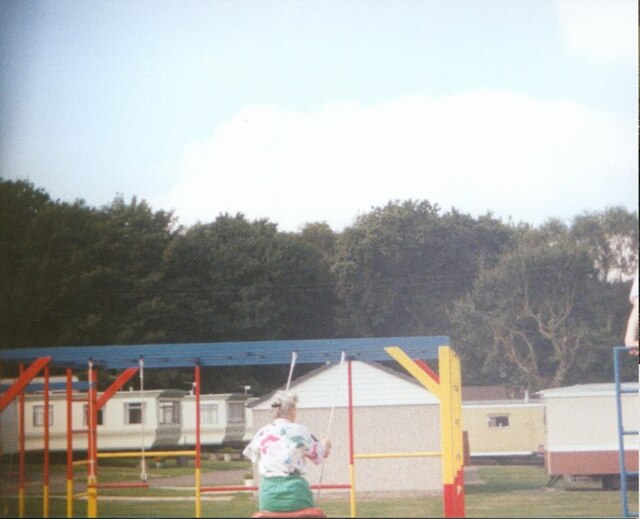
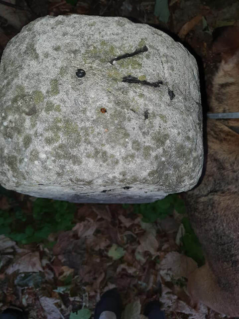
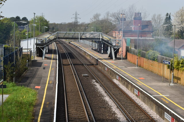
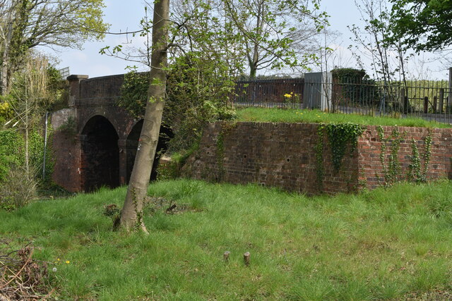
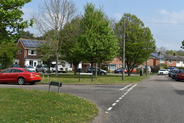
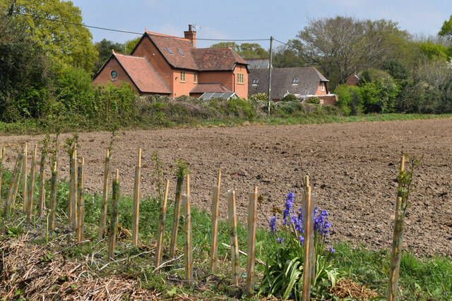
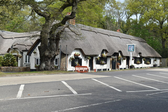
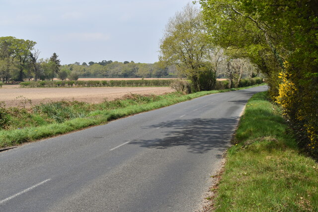
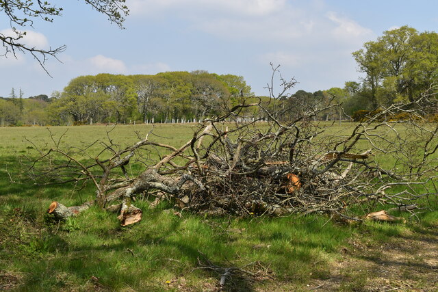
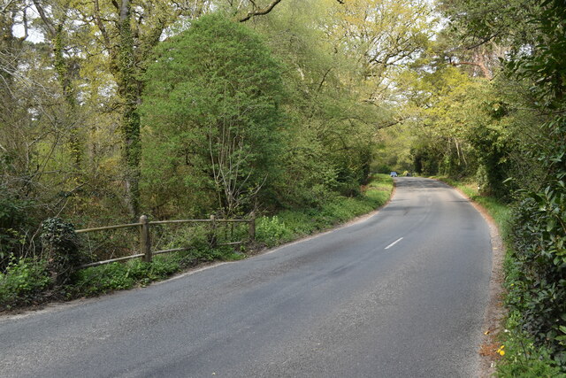
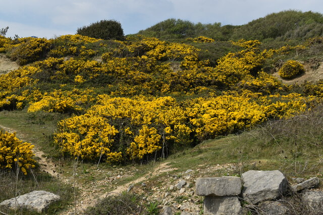
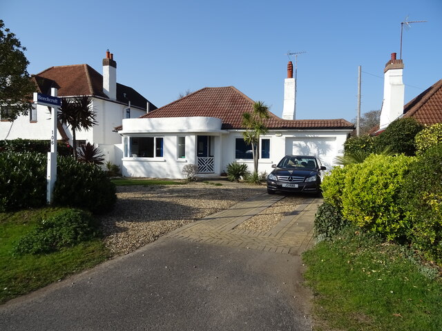
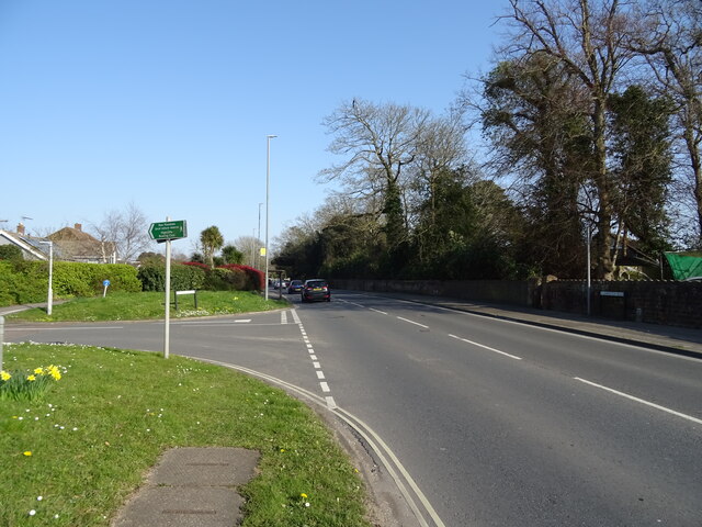
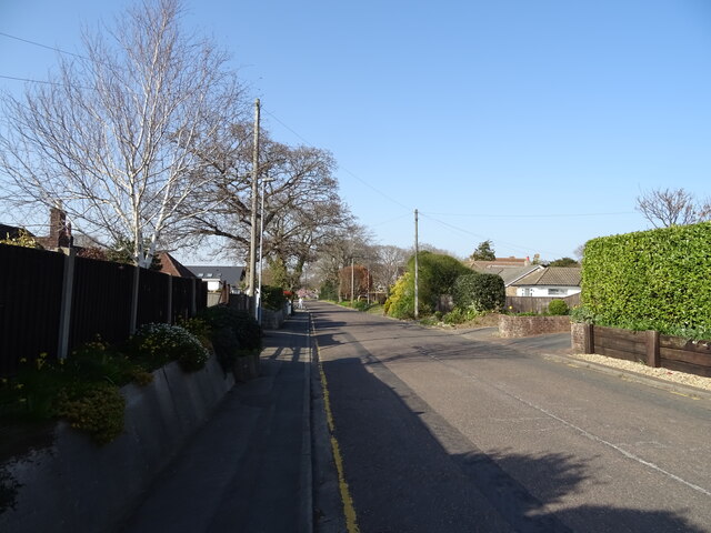
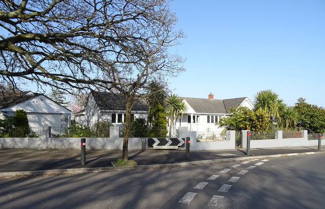
Highcliffe Images

Images are sourced within 2km of 50.745579/-1.7141553 or Grid Reference SZ2094. Thanks to Geograph Open Source API. All images are credited.

The swings and caravans in the now gone Cobb's Holiday park Date is approximate.
The swings and caravans in the now gone Cobb's Holiday park
Date is approximate.
Old Milestone, A337 Carved stone post by the A337, in parish of CHRISTCHURCH (CHRISTCHURCH District), Highcliffe, 17m E of Churchyard gate; 70m E of junction with Castle Avenue, by the road, on North side of road. Dorset 3 (limestone) Erected by the Lymington, Lyndhurst & Rumbridge turnpike trust in the 19th century. Rivet Benchmark representing 26.3 m ASL. View of mileage see <a href="https://www.geograph.org.uk/photo/6072741">SZ2093 : Old Milestone by the A337, Lymington Road, Highcliffe</a>.

Inscription reads:  9 / L // IM

Milestone Society National ID: HA_LYCC09
Old Milestone, A337
Carved stone post by the A337, in parish of CHRISTCHURCH (CHRISTCHURCH District), Highcliffe, 17m E of Churchyard gate; 70m E of junction with Castle Avenue, by the road, on North side of road. Dorset 3 (limestone) Erected by the Lymington, Lyndhurst & Rumbridge turnpike trust in the 19th century. Rivet Benchmark representing 26.3 m ASL. View of mileage see SZ2093 : Old Milestone by the A337, Lymington Road, Highcliffe. Inscription reads: 9 / L // IM Milestone Society National ID: HA_LYCC09
Hinton Admiral station
Bridge carrying Hinton Wood Avenue over the railway
Triangular green beside Clive Road and Havelock Way
Houses overlooking field at Hinton Admiral
The Cat and Fiddle public house Beside the A35 at Hinton Admiral.
The Cat and Fiddle public house
Beside the A35 at Hinton Admiral.
Ringwood Road and farmland
Piled branches beside Ringwood Road
Ringwood Road from bridge over stream
View across the mouth of Chewton Bunny The high land in the right distance is the Isle of Wight.
View across the mouth of Chewton Bunny
The high land in the right distance is the Isle of Wight.
Groyne west of Chewton Bunny
Gorse-covered cliffs at Highcliffe
Unstable cliffs east of Chewton Bunny
House on Lymington Road
Junction on Lymington Road (A337)
Nea Road
Nea Road
Bungalow on Moonrakers Way
Show me another place!

Highcliffe is located at Grid Ref: SZ2094 (Lat: 50.745579, Lng: -1.7141553)

Unitary Authority: Bournemouth, Christchurch and Poole

Police Authority: Dorset

What 3 Words

///mining.swaps.shield. Near New Milton, Hampshire

Related Wikis

Highcliffe School

Highcliffe School is a co-educational secondary school and sixth form located in Highcliffe-on-Sea (near Christchurch) in the English county of Dorset...

Hinton Admiral

Hinton Admiral is the estate and ancestral home of the Tapps-Gervis-Meyrick family and located in the settlement of Hinton, near Bransgore in Hampshire...

Hinton Admiral railway station

Hinton Admiral railway station is a station serving the villages of Bransgore and Hinton and the seaside town of Highcliffe on the Hampshire/Dorset border...

Highcliffe Castle

Highcliffe Castle, situated on the cliffs at Highcliffe, Dorset, was built between 1831 and 1835 by Charles Stuart, 1st Baron Stuart de Rothesay in a Romantic...

Nearby Amenities

Located within 500m of 50.745579,-1.7141553
Post Box
Operator: Royal Mail
Operator Wikidata: Q638098
Ref: BH23 72
Ref GB Uprn: 10015357350
Lat/Long: 50.7438736/-1.7184468
Post Box
Operator: Royal Mail
Operator Wikidata: Q638098
Ref: BH23 85
Ref GB Uprn: 10015453457
Lat/Long: 50.7492503/-1.7165076
Post Box
Operator: Royal Mail
Operator Wikidata: Q638098
Ref: BH23 22
Ref GB Uprn: 10015363966
Lat/Long: 50.7418419/-1.7114034
Post Box
Brand: Royal Mail
Brand Wikidata: Q638098
Collection Times: Mo-Fr 09:00; Sa 07:00
Note: Collection plate incorrectly shows BH21 67
Operator: Royal Mail
Operator Wikidata: Q638098
Post Box Design: type_b
Post Box Type: pillar
Ref: BH23 67D
Ref GB Uprn: 10015356517
Royal Cypher: EIIR
Royal Cypher Wikidata: Q33102113
Lat/Long: 50.7460348/-1.7114056
Post Box
Operator: Royal Mail
Operator Wikidata: Q638098
Ref: BH23 9
Ref GB Uprn: 10015427013
Lat/Long: 50.7490212/-1.7120471
Bench
Backrest: yes
Lat/Long: 50.7446156/-1.7154199
Bench
Backrest: yes
Lat/Long: 50.7444731/-1.7150873
Bench
Backrest: yes
Lat/Long: 50.7466913/-1.7097794
Perfect Awnings
Name En: Perfect Awnings
Website: https://www.perfectawnings.co.uk/
Lat/Long: 50.7472472/-1.7150079
Generator Method: photovoltaic
Generator Output Electricity: yes
Generator Source: solar
Generator Type: solar_photovoltaic_panel
Location: roof
Power: generator
Lat/Long: 50.741883/-1.7147988
Generator Method: photovoltaic
Generator Output Electricity: yes
Generator Source: solar
Generator Type: solar_photovoltaic_panel
Location: roof
Power: generator
Lat/Long: 50.7460831/-1.7109394
Generator Method: photovoltaic
Generator Output Electricity: yes
Generator Source: solar
Generator Type: solar_photovoltaic_panel
Location: roof
Power: generator
Lat/Long: 50.7479419/-1.7100221
Generator Method: photovoltaic
Generator Output Electricity: yes
Generator Source: solar
Generator Type: solar_photovoltaic_panel
Location: roof
Power: generator
Lat/Long: 50.7450835/-1.7137651
Generator Method: photovoltaic
Generator Output Electricity: yes
Generator Source: solar
Generator Type: solar_photovoltaic_panel
Location: roof
Power: generator
Lat/Long: 50.7455443/-1.7156856
Generator Method: photovoltaic
Generator Output Electricity: yes
Generator Source: solar
Generator Type: solar_photovoltaic_panel
Location: roof
Power: generator
Lat/Long: 50.7455171/-1.7157687
Generator Method: photovoltaic
Generator Output Electricity: yes
Generator Source: solar
Generator Type: solar_photovoltaic_panel
Location: roof
Power: generator
Lat/Long: 50.7457759/-1.7153248
Generator Method: photovoltaic
Generator Output Electricity: yes
Generator Source: solar
Generator Type: solar_photovoltaic_panel
Location: roof
Power: generator
Lat/Long: 50.7463134/-1.7158036
Generator Method: photovoltaic
Generator Output Electricity: yes
Generator Source: solar
Generator Type: solar_photovoltaic_panel
Location: roof
Power: generator
Lat/Long: 50.7474132/-1.7206101
Generator Method: photovoltaic
Generator Output Electricity: yes
Generator Source: solar
Generator Type: solar_photovoltaic_panel
Location: roof
Power: generator
Lat/Long: 50.7423622/-1.7190544
Generator Method: photovoltaic
Generator Output Electricity: yes
Generator Source: solar
Generator Type: solar_photovoltaic_panel
Location: roof
Power: generator
Lat/Long: 50.74196/-1.7176731
Generator Method: photovoltaic
Generator Output Electricity: yes
Generator Source: solar
Generator Type: solar_photovoltaic_panel
Location: roof
Power: generator
Lat/Long: 50.7415899/-1.7174183
Generator Method: photovoltaic
Generator Output Electricity: yes
Generator Source: solar
Generator Type: solar_photovoltaic_panel
Location: roof
Power: generator
Lat/Long: 50.7419464/-1.7124671
Leisure: pitch
Sport: cricket
Lat/Long: 50.7479958/-1.7179766
Bicycle Rental
Lakewood Road
Bicycle Rental: dropoff_point
Capacity: 6
Email: support@beryl.cc
Fee: yes
Name Signed: no
Network: Beryl - Bournemouth Poole Christchurch
Official Name: Lakewood Road
Operator: Beryl
Operator Wikidata: Q106575369
Payment App: yes
Payment App Android: cc.beryl.basis
Payment App Ios: 1386768364
Payment Cash: no
Payment Credit Cards: no
Payment Cryptocurrencies: no
Payment Debit Cards: no
Payment Electronic Purses: no
Phone: +44 20 3003 5044
Ref Gbfs: beryl_bcp:1985
Rental: city_bike
Website: https://beryl.cc/scheme/bournemouth-christchurch-and-poole
Lat/Long: 50.746933/-1.7086051
Bicycle Rental
Forest Way/Smugglers Lane N
Bicycle Rental: dropoff_point
Capacity: 6
Email: support@beryl.cc
Fee: yes
Name Signed: no
Network: Beryl - Bournemouth Poole Christchurch
Official Name: Forest Way/Smugglers Lane N
Operator: Beryl
Operator Wikidata: Q106575369
Payment App: yes
Payment App Android: cc.beryl.basis
Payment App Ios: 1386768364
Payment Cash: no
Payment Credit Cards: no
Payment Cryptocurrencies: no
Payment Debit Cards: no
Payment Electronic Purses: no
Phone: +44 20 3003 5044
Ref Gbfs: beryl_bcp:2111
Rental: city_bike
Website: https://beryl.cc/scheme/bournemouth-christchurch-and-poole
Lat/Long: 50.7451706/-1.716729
Bus Stop
Castle Avenue
Bus: yes
Naptan AtcoCode: 1200POA11034
Naptan Bearing: N
Naptan CommonName: Castle Avenue
Naptan Indicator: N-bound
Naptan NaptanCode: dordmadm
Naptan Street: Castle Avenue
Naptan Verified: no
Public Transport: platform
Lat/Long: 50.7416052/-1.7117348
Bus Stop
Earlsdon Way
Bus: yes
Naptan AtcoCode: 1200POA11032
Naptan Bearing: S
Naptan CommonName: Earlsdon Way
Naptan Indicator: S-bound
Naptan NaptanCode: dordmaga
Naptan Street: Hinton Wood Avenue
Naptan Verified: no
Public Transport: platform
Lat/Long: 50.7444685/-1.7113808
Bus Stop
Carisbrooke Way
Bus: yes
Naptan AtcoCode: 1200POA11035
Naptan Bearing: N
Naptan CommonName: Carisbrooke Way
Naptan Indicator: N-bound
Naptan NaptanCode: dordmadp
Naptan Street: Hinton Wood Avenue
Naptan Verified: no
Public Transport: platform
Lat/Long: 50.7460062/-1.7114076
Bus Stop
Carisbrooke Way
Bus: yes
Naptan AtcoCode: 1200POA11031
Naptan Bearing: E
Naptan BusStopType: CUS
Naptan CommonName: Carisbrooke Way
Naptan Indicator: E-bound
Naptan NaptanCode: dordmadw
Naptan Street: Carisbrooke Way
Naptan Verified: no
Public Transport: platform
Lat/Long: 50.7461182/-1.7121854
Bus Stop
Highcliffe School
Bus: yes
Naptan AtcoCode: 1200POA11043
Naptan Bearing: NW
Naptan CommonName: Forest Way
Naptan Indicator: NW-bound
Naptan NaptanCode: dordjwpa
Naptan Street: Forest Way
Naptan Verified: no
Public Transport: platform
Lat/Long: 50.7478476/-1.720216
Bus Stop
Smugglers Lane North
Bus: yes
Naptan AtcoCode: 1200POA11023
Naptan Bearing: NE
Naptan CommonName: Smugglers Lane North
Naptan Indicator: NE-bound
Naptan NaptanCode: dordjwpj
Naptan Street: Smugglers Lane North
Naptan Verified: no
Public Transport: platform
Lat/Long: 50.7442767/-1.7179656
Bus Stop
Smugglers Lane North
Bus: yes
Naptan AtcoCode: 1200POA11024
Naptan Bearing: SW
Naptan CommonName: Smugglers Lane North
Naptan Indicator: SW-bound
Naptan NaptanCode: dordjwpm
Naptan Street: Smugglers Lane North
Naptan Verified: no
Public Transport: platform
Lat/Long: 50.7444974/-1.7173648
The data included in this document is from www.openstreetmap.org. The data is made available under ODbL.

Have you been to Highcliffe?

Leave your review of Highcliffe below (or comments, questions and feedback).