Higher Alham

Settlement in Somerset Mendip

England

Higher Alham

Old Milestone, Cockpit Lane, North of Batcombe The milestone is located opposite the entrance to Batcombe Lodge, on the grass verge on the east side of the road. Parish of Batcombe (Mendip District). Carved stone post, Batcombe stone design, erected by the Bruton turnpike trust in the 20th century. 

Inscription reads:-
TO / BATCOMBE / 1¼ / {arrow to right}

Grade II listed. List Entry Number: 1058548 <span class="nowrap"><a title="https://historicengland.org.uk/listing/the-list/list-entry/1058548" rel="nofollow ugc noopener" href="https://historicengland.org.uk/listing/the-list/list-entry/1058548">Link</a><img style="margin-left:2px;" alt="External link" title="External link - shift click to open in new window" src="https://s1.geograph.org.uk/img/external.png" width="10" height="10"/></span>

Milestone Society National ID: SO_BC01
Old Milestone, Cockpit Lane, North of Batcombe Credit: Janet Dowding

Higher Alham is a small village located in the county of Somerset, England. Situated on the southern slopes of the Mendip Hills, it is part of the Mendip District and lies approximately 3 miles northeast of the town of Shepton Mallet. The village is nestled amidst picturesque countryside and offers residents and visitors alike a tranquil and idyllic setting.

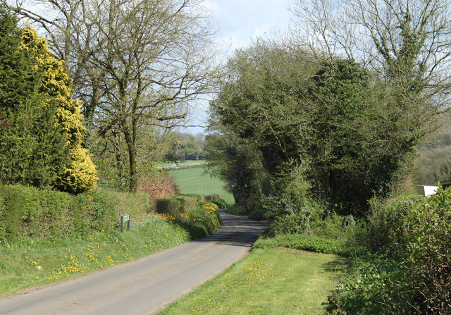
Higher Alham is known for its charming architecture, with many of the buildings dating back several centuries. The village primarily consists of traditional stone cottages, giving it a quintessentially English feel. The narrow, winding lanes add to its charm and provide a sense of history.

Despite its small size, Higher Alham boasts a strong sense of community, with a close-knit group of residents that actively participate in local events and initiatives. The village has a small church, which serves as a focal point for religious and social gatherings.

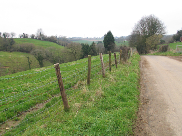
The surrounding area offers a plethora of outdoor activities for nature enthusiasts. The nearby Mendip Hills provide ample opportunities for hiking, cycling, and horseback riding, with breathtaking views of the surrounding countryside. Additionally, the village benefits from its proximity to the popular tourist destination of Glastonbury, which is just a short drive away.

Overall, Higher Alham is a charming and picturesque village that offers a peaceful lifestyle, beautiful surroundings, and a strong sense of community. It is an ideal destination for those seeking a rural retreat in the heart of Somerset.

If you have any feedback on the listing, please let us know in the comments section below.

Higher Alham Images

Images are sourced within 2km of 51.168371/-2.457662 or Grid Reference ST6841. Thanks to Geograph Open Source API. All images are credited.

Old Milestone, Cockpit Lane, North of Batcombe The milestone is located opposite the entrance to Batcombe Lodge, on the grass verge on the east side of the road. Parish of Batcombe (Mendip District). Carved stone post, Batcombe stone design, erected by the Bruton turnpike trust in the 20th century. 

Inscription reads:-
TO / BATCOMBE / 1¼ / {arrow to right}

Grade II listed. List Entry Number: 1058548 <span class="nowrap"><a title="https://historicengland.org.uk/listing/the-list/list-entry/1058548" rel="nofollow ugc noopener" href="https://historicengland.org.uk/listing/the-list/list-entry/1058548">Link</a><img style="margin-left:2px;" alt="External link" title="External link - shift click to open in new window" src="https://s1.geograph.org.uk/img/external.png" width="10" height="10"/></span>

Milestone Society National ID: SO_BC01
Old Milestone, Cockpit Lane, North of Batcombe
The milestone is located opposite the entrance to Batcombe Lodge, on the grass verge on the east side of the road. Parish of Batcombe (Mendip District). Carved stone post, Batcombe stone design, erected by the Bruton turnpike trust in the 20th century. Inscription reads:- TO / BATCOMBE / 1¼ / {arrow to right} Grade II listed. List Entry Number: 1058548 LinkExternal link Milestone Society National ID: SO_BC01
Westcombe Telephone box and information point next to the cenotaph in a very small village.
Westcombe
Telephone box and information point next to the cenotaph in a very small village.
Near Batcombe This is the Batcombe to Cranmore Road
Near Batcombe
This is the Batcombe to Cranmore Road
Footpath down into the valley heading in the general direction of Batcombe.
Footpath down into the valley
heading in the general direction of Batcombe.
Looking towards Batcombe along the valley and round the ridge.
Looking towards Batcombe
along the valley and round the ridge.
Coronation fountain in Westcombe - commemorating the coronation of George V and Queen Mary.
Coronation fountain in Westcombe
- commemorating the coronation of George V and Queen Mary.
Wisteria-clad house in Westcombe just opposite the fountain <a href="https://www.geograph.org.uk/photo/585245">ST6739 : Coronation fountain in Westcombe</a>
Wisteria-clad house in Westcombe
just opposite the fountain ST6739 : Coronation fountain in Westcombe
Rolling, wooded, green Not bad, Somerset! Landscape between Lower Alham and Batcombe. Opposite is Honeycliff.
Rolling, wooded, green
Not bad, Somerset! Landscape between Lower Alham and Batcombe. Opposite is Honeycliff.
Track leading to Lower Alham Farm via a ford or a footbridge - see <a href="https://www.geograph.org.uk/photo/585321">ST6840 : The track goes through the stream, but</a> - coming in the other direction.
Track leading to Lower Alham Farm
via a ford or a footbridge - see ST6840 : The track goes through the stream, but - coming in the other direction.
Milepost, Batcombe Early 19th century cast-iron V-shaped post.  Part of the former Shepton Mallet Turnpike Trust.
Milepost, Batcombe
Early 19th century cast-iron V-shaped post. Part of the former Shepton Mallet Turnpike Trust.
Milepost, Batcombe Part of the former Shepton Mallet Turnpike Trust.  The legend reads Bruton 4, Shepton Mallet 6 and Batcombe 1.
Milepost, Batcombe
Part of the former Shepton Mallet Turnpike Trust. The legend reads Bruton 4, Shepton Mallet 6 and Batcombe 1.
2011 : Withy Wood Lane heading east The shrubs and trees are in the garden of a private house.
2011 : Withy Wood Lane heading east
The shrubs and trees are in the garden of a private house.
2011 : South of east from a bridle path off Withy Wood Lane Brickhouse Farm can be seen.
2011 : South of east from a bridle path off Withy Wood Lane
Brickhouse Farm can be seen.
2011 : Across Combe Bottom from the lane to Higher Alham Harwood Farm is partly hidden by the hill.
2011 : Across Combe Bottom from the lane to Higher Alham
Harwood Farm is partly hidden by the hill.
2011 : Down the hill to Higher Alham On the road from Batcombe.
Crossing the River Alham at the bottom of the hill.
2011 : Down the hill to Higher Alham
On the road from Batcombe. Crossing the River Alham at the bottom of the hill.
2011 : The road to Batcombe Having just climbed the hill out of Higher Alham.
The valley of the River Alham is on the other side of the road.
2011 : The road to Batcombe
Having just climbed the hill out of Higher Alham. The valley of the River Alham is on the other side of the road.
2011 : South from Withy Wood Lane A field with dandelions, sycamore trees, the hill beyond appears to be nameless but is part of the East Mendips.
2011 : South from Withy Wood Lane
A field with dandelions, sycamore trees, the hill beyond appears to be nameless but is part of the East Mendips.
2011 : North from Withy Wood Lane A field of freshly grown grass waiting for the cattle.
Cranmore Tower sits on the skyline with its attendand transmitter pylons [<a href="https://www.geograph.org.uk/gridref/ST6745">ST6745</a>] from a distance this tower is similar to Alfred's Tower to the east, if in doubt look for the nearby pylons, they will settle the matter.
2011 : North from Withy Wood Lane
A field of freshly grown grass waiting for the cattle. Cranmore Tower sits on the skyline with its attendand transmitter pylons [ST6745] from a distance this tower is similar to Alfred's Tower to the east, if in doubt look for the nearby pylons, they will settle the matter.
Show me another place!

Higher Alham is located at Grid Ref: ST6841 (Lat: 51.168371, Lng: -2.457662)

Administrative County: Somerset

District: Mendip

Police Authority: Avon and Somerset

What 3 Words

///redouble.clings.fend. Near Evercreech, Somerset

Related Wikis

Small Down Knoll

Small Down Knoll, or Small Down Camp, is a Bronze Age hill fort near Evercreech in Somerset, England. The hill is on the southern edge of the Mendip Hills...

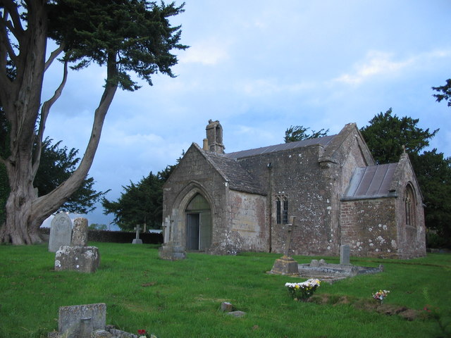
Church of St Mary, Chesterblade

The Anglican Church of St Mary in Chesterblade, Somerset, England was built in the 12th century. It is a Grade II* listed building. It is located 3 miles...
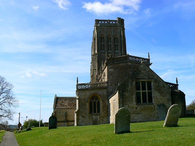
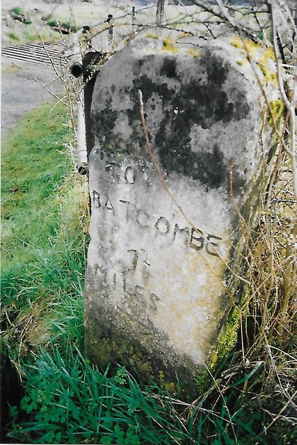
Batcombe, Somerset

Batcombe is a village and civil parish in Somerset, England, situated in the steep valley of the River Alham 5 miles (8 km) south-east of Shepton Mallet...

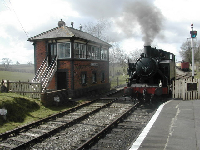
Cranmore railway station

Cranmore is the main railway station (and also the headquarters) of the preserved East Somerset Railway, in Somerset, England. == Services == Various services...

Nearby Amenities

Located within 500m of 51.168371,-2.457662
Higher Alham
Place: hamlet
Lat/Long: 51.1681363/-2.4593727
The data included in this document is from www.openstreetmap.org. The data is made available under ODbL.

Have you been to Higher Alham?

Leave your review of Higher Alham below (or comments, questions and feedback).