Harwood Wood

Wood, Forest in Somerset Mendip

England

Harwood Wood

Old Milestone, Cockpit Lane, North of Batcombe The milestone is located opposite the entrance to Batcombe Lodge, on the grass verge on the east side of the road. Parish of Batcombe (Mendip District). Carved stone post, Batcombe stone design, erected by the Bruton turnpike trust in the 20th century. 

Inscription reads:-
TO / BATCOMBE / 1¼ / {arrow to right}

Grade II listed. List Entry Number: 1058548 <span class="nowrap"><a title="https://historicengland.org.uk/listing/the-list/list-entry/1058548" rel="nofollow ugc noopener" href="https://historicengland.org.uk/listing/the-list/list-entry/1058548">Link</a><img style="margin-left:2px;" alt="External link" title="External link - shift click to open in new window" src="https://s1.geograph.org.uk/img/external.png" width="10" height="10"/></span>

Milestone Society National ID: SO_BC01
Old Milestone, Cockpit Lane, North of Batcombe Credit: Janet Dowding

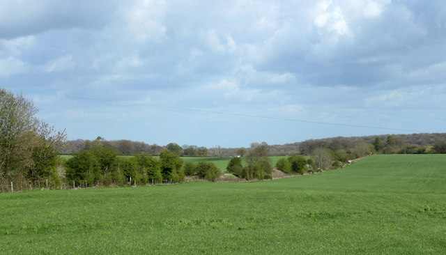
Harwood Wood is a charming and picturesque forest located in Somerset, England. Nestled amidst the rolling hills and countryside, this woodland exudes a sense of tranquility and natural beauty. Covering an area of approximately 200 hectares, Harwood Wood is a popular destination for nature enthusiasts, hikers, and birdwatchers.

The woodland is primarily composed of broadleaf trees, including oak, beech, and ash, which create a dense and lush canopy overhead. These trees provide a habitat for a diverse range of wildlife, making it a haven for bird species such as the great spotted woodpecker, tawny owl, and various species of tits.

Numerous trails wind their way through the forest, offering visitors the chance to explore its hidden gems and discover the enchanting sights and sounds of nature. Along these paths, one may stumble upon babbling brooks, wildflowers, and enchanting clearings where sunlight filters through the foliage.

Harwood Wood has a rich history, with evidence of human occupation dating back to the Iron Age. Remnants of ancient settlements and earthworks can still be found within the forest, adding an element of intrigue and mystery to the area. The woodland was historically used for timber production, and remnants of old sawpits and charcoal platforms can be seen, serving as a reminder of its past.

Today, Harwood Wood is protected as a Site of Special Scientific Interest (SSSI) due to its ecological importance and historical significance. With its stunning scenery, diverse wildlife, and rich history, Harwood Wood is a true gem of Somerset and a must-visit destination for nature lovers and history enthusiasts alike.

If you have any feedback on the listing, please let us know in the comments section below.
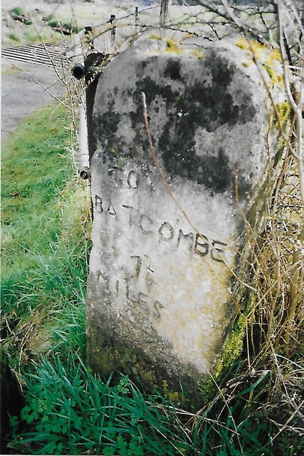
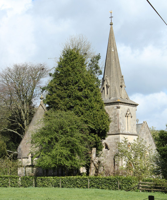
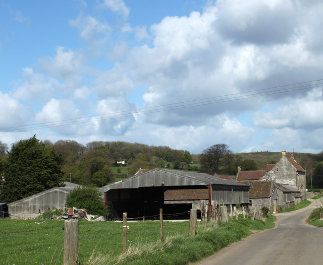
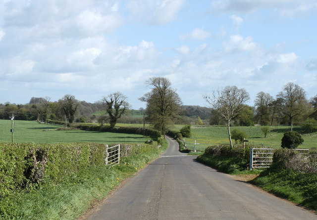
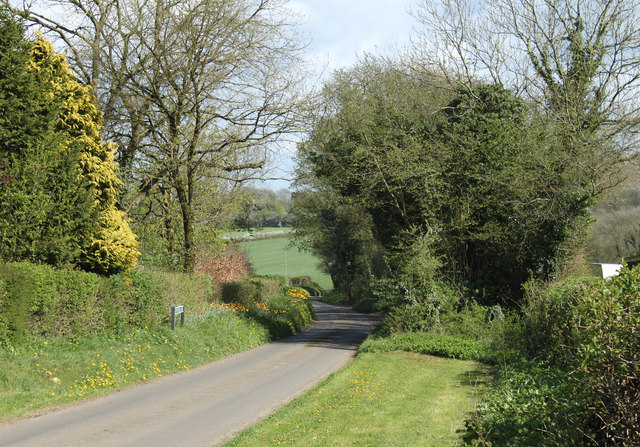
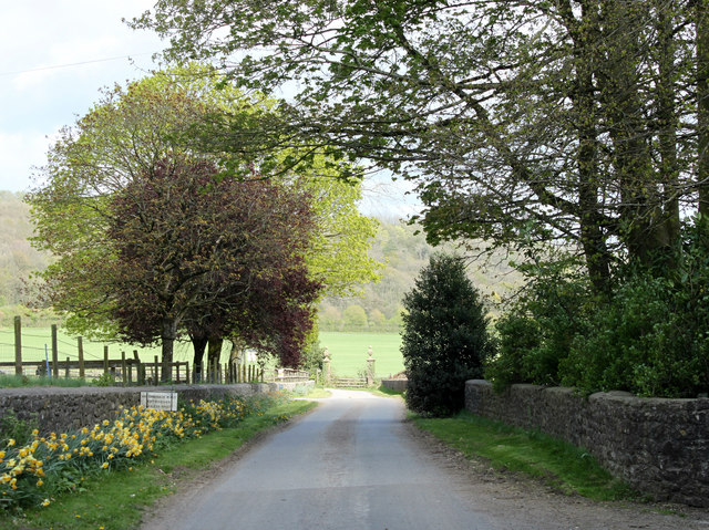
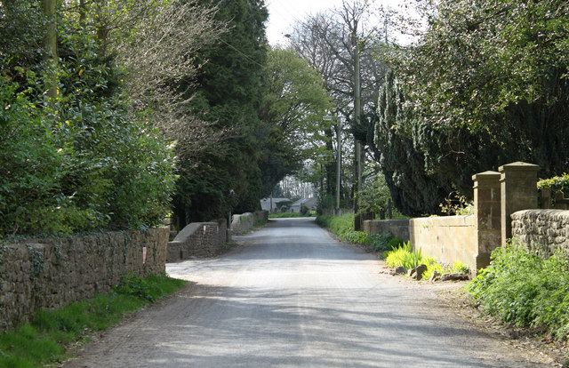
Harwood Wood Images

Images are sourced within 2km of 51.175766/-2.4524287 or Grid Reference ST6841. Thanks to Geograph Open Source API. All images are credited.
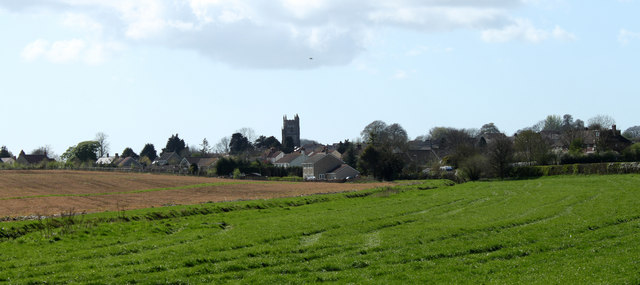
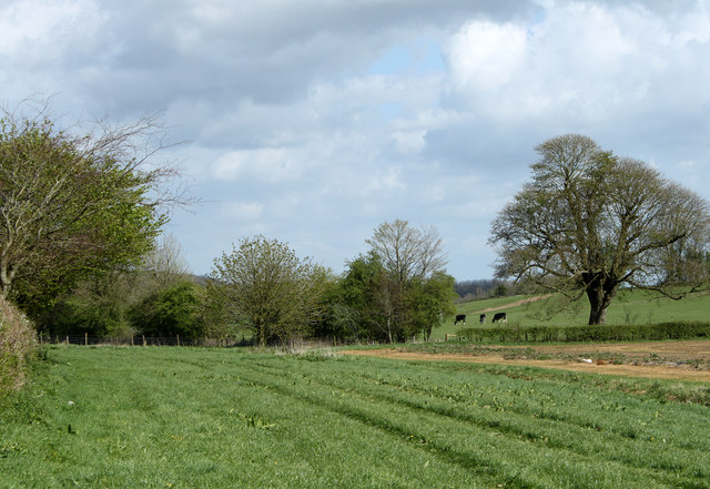
Old Milestone, Cockpit Lane, North of Batcombe The milestone is located opposite the entrance to Batcombe Lodge, on the grass verge on the east side of the road. Parish of Batcombe (Mendip District). Carved stone post, Batcombe stone design, erected by the Bruton turnpike trust in the 20th century. 

Inscription reads:-
TO / BATCOMBE / 1¼ / {arrow to right}

Grade II listed. List Entry Number: 1058548 <span class="nowrap"><a title="https://historicengland.org.uk/listing/the-list/list-entry/1058548" rel="nofollow ugc noopener" href="https://historicengland.org.uk/listing/the-list/list-entry/1058548">Link</a><img style="margin-left:2px;" alt="External link" title="External link - shift click to open in new window" src="https://s1.geograph.org.uk/img/external.png" width="10" height="10"/></span>

Milestone Society National ID: SO_BC01
Old Milestone, Cockpit Lane, North of Batcombe
The milestone is located opposite the entrance to Batcombe Lodge, on the grass verge on the east side of the road. Parish of Batcombe (Mendip District). Carved stone post, Batcombe stone design, erected by the Bruton turnpike trust in the 20th century. Inscription reads:- TO / BATCOMBE / 1¼ / {arrow to right} Grade II listed. List Entry Number: 1058548 LinkExternal link Milestone Society National ID: SO_BC01
2011 : The former Church of St.James, East Cranmore "The origin of the name Cranmore comes from the Old English Crane Mere meaning 'Cranes/herons' pool'." 
Copied from <span class="nowrap"><a title="http://www.cranmore.org/" rel="nofollow ugc noopener" href="http://www.cranmore.org/">Link</a><img style="margin-left:2px;" alt="External link" title="External link - shift click to open in new window" src="https://s1.geograph.org.uk/img/external.png" width="10" height="10"/></span> a most interesting website.

Seen from the other side in <a href="https://www.geograph.org.uk/photo/485732">ST6843 : Former church at East Cranmore</a>
2011 : The former Church of St.James, East Cranmore
"The origin of the name Cranmore comes from the Old English Crane Mere meaning 'Cranes/herons' pool'." Copied from LinkExternal link a most interesting website. Seen from the other side in ST6843 : Former church at East Cranmore
2011 : Western Farm, Cranmore On the road between Cranmore and East Cranmore.
Farm land and buildings currently for sale.
2011 : Western Farm, Cranmore
On the road between Cranmore and East Cranmore. Farm land and buildings currently for sale.
2011 : Withy Wood Lane, Cranmore Heading away to almost nowhere, and very pleasant it is when you get there.
The road turning off to the right goes to pretty much the same place.
2011 : Withy Wood Lane, Cranmore
Heading away to almost nowhere, and very pleasant it is when you get there. The road turning off to the right goes to pretty much the same place.
2011 : Withy Wood Lane heading east The shrubs and trees are in the garden of a private house.
2011 : Withy Wood Lane heading east
The shrubs and trees are in the garden of a private house.
2011 : South of east from a bridle path off Withy Wood Lane Brickhouse Farm can be seen.
2011 : South of east from a bridle path off Withy Wood Lane
Brickhouse Farm can be seen.
2011 : Across Combe Bottom from the lane to Higher Alham Harwood Farm is partly hidden by the hill.
2011 : Across Combe Bottom from the lane to Higher Alham
Harwood Farm is partly hidden by the hill.
2011 : Down the hill to Higher Alham On the road from Batcombe.
Crossing the River Alham at the bottom of the hill.
2011 : Down the hill to Higher Alham
On the road from Batcombe. Crossing the River Alham at the bottom of the hill.
2011 : The road to Batcombe Having just climbed the hill out of Higher Alham.
The valley of the River Alham is on the other side of the road.
2011 : The road to Batcombe
Having just climbed the hill out of Higher Alham. The valley of the River Alham is on the other side of the road.
2011 : Road to Wellington Farm, East Cranmore This is within half a mile of one of the largest quarries on the Mendips yet there is no sight and very little sound of it.
2011 : Road to Wellington Farm, East Cranmore
This is within half a mile of one of the largest quarries on the Mendips yet there is no sight and very little sound of it.
2011 : Main road through East  Cranmore The gateway on the right gives access to <a href="https://www.geograph.org.uk/photo/2357732">ST6843 : 2011 : The former Church of St.James, East Cranmore</a>
A little about East Cranmore in <span class="nowrap"><a title="http://www.francisfrith.com/east-cranmore/#utmcsr=bing.com&utmcmd=referral&utmccn=bing.com" rel="nofollow ugc noopener" href="http://www.francisfrith.com/east-cranmore/#utmcsr=bing.com&utmcmd=referral&utmccn=bing.com">Link</a><img style="margin-left:2px;" alt="External link" title="External link - shift click to open in new window" src="https://s1.geograph.org.uk/img/external.png" width="10" height="10"/></span>
2011 : Main road through East Cranmore
The gateway on the right gives access to ST6843 : 2011 : The former Church of St.James, East Cranmore A little about East Cranmore in LinkExternal link
2011 : Over the fields to Cranmore Seen from the road between Cranmore and East Cranmore.
The Church of St. Bartholomew is outstanding.
2011 : Over the fields to Cranmore
Seen from the road between Cranmore and East Cranmore. The Church of St. Bartholomew is outstanding.
2011 : Fields and hedgerows near Western Farm Seen from the road to Cranmore.
Cattle in the next field enjoy the new spring grass. Care must be taken to ensure they do not enjoy too much of it and suffer from the bloat, a condition in which fermentation gases build up in the stomach, usually painful, sometimes fatal if not treated.
These gases are rich in methane, the condition should not be relieved in the presence of a naked flame or other source of ignition, the results can be explosive.
For more info visit: <span class="nowrap"><a title="http://www1.agric.gov.ab.ca/%24Department/deptdocs.nsf/all/agdex6769" rel="nofollow ugc noopener" href="http://www1.agric.gov.ab.ca/%24Department/deptdocs.nsf/all/agdex6769">Link</a><img style="margin-left:2px;" alt="External link" title="External link - shift click to open in new window" src="https://s1.geograph.org.uk/img/external.png" width="10" height="10"/></span>
2011 : Fields and hedgerows near Western Farm
Seen from the road to Cranmore. Cattle in the next field enjoy the new spring grass. Care must be taken to ensure they do not enjoy too much of it and suffer from the bloat, a condition in which fermentation gases build up in the stomach, usually painful, sometimes fatal if not treated. These gases are rich in methane, the condition should not be relieved in the presence of a naked flame or other source of ignition, the results can be explosive. For more info visit: LinkExternal link
2011 : Water tower, Cranmore Station, now finished Seen under construction in <a href="https://www.geograph.org.uk/photo/2023871">ST6643 : Cranmore : construction of brick base for a water tower </a> built, we are told, by one man working alone.
Now in private hands this was once part of the GWR line running along the foot of the Mendips between Witham Friary and Axbridge and beyond until felled by the Beeching axe. 
More pictures of the water tower in: <span class="nowrap"><a title="http://www.eastsomersetrailway.com/gallery.php?gid=261" rel="nofollow ugc noopener" href="http://www.eastsomersetrailway.com/gallery.php?gid=261">Link</a><img style="margin-left:2px;" alt="External link" title="External link - shift click to open in new window" src="https://s1.geograph.org.uk/img/external.png" width="10" height="10"/></span>
2011 : Water tower, Cranmore Station, now finished
Seen under construction in ST6643 : Cranmore : construction of brick base for a water tower built, we are told, by one man working alone. Now in private hands this was once part of the GWR line running along the foot of the Mendips between Witham Friary and Axbridge and beyond until felled by the Beeching axe. More pictures of the water tower in: LinkExternal link
2011 : East from Withy Wood Lane The hedgerow across the picture hides the old GWR line from Witham Friary, now closed by the Beeching axe. Out of shot to the left an overbridge marks the eastern end of the East Somerset Railway.
2011 : East from Withy Wood Lane
The hedgerow across the picture hides the old GWR line from Witham Friary, now closed by the Beeching axe. Out of shot to the left an overbridge marks the eastern end of the East Somerset Railway.
2011 : South from Withy Wood Lane A field with dandelions, sycamore trees, the hill beyond appears to be nameless but is part of the East Mendips.
2011 : South from Withy Wood Lane
A field with dandelions, sycamore trees, the hill beyond appears to be nameless but is part of the East Mendips.
2011 : North from Withy Wood Lane A field of freshly grown grass waiting for the cattle.
Cranmore Tower sits on the skyline with its attendand transmitter pylons [<a href="https://www.geograph.org.uk/gridref/ST6745">ST6745</a>] from a distance this tower is similar to Alfred's Tower to the east, if in doubt look for the nearby pylons, they will settle the matter.
2011 : North from Withy Wood Lane
A field of freshly grown grass waiting for the cattle. Cranmore Tower sits on the skyline with its attendand transmitter pylons [ST6745] from a distance this tower is similar to Alfred's Tower to the east, if in doubt look for the nearby pylons, they will settle the matter.
2011 : North of west from  Withy Wood Lane A field of newly grown grass, re-seeded perhaps.
Cranmore is beyond with St.Bartholomews Church showing its mini-steeples above the trees.
2011 : North of west from Withy Wood Lane
A field of newly grown grass, re-seeded perhaps. Cranmore is beyond with St.Bartholomews Church showing its mini-steeples above the trees.
Show me another place!

Harwood Wood is located at Grid Ref: ST6841 (Lat: 51.175766, Lng: -2.4524287)

Administrative County: Somerset

District: Mendip

Police Authority: Avon and Somerset

What 3 Words

///engraving.removal.bike. Near Evercreech, Somerset

Related Wikis

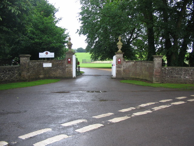
All Hallows Preparatory School

All Hallows School is a non-selective co-educational prep school that provides day and boarding facilities. A Christian School in the Catholic tradition...

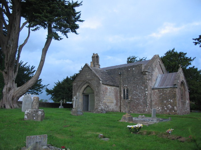
St James' Church, East Cranmore

St James' Church is a former Church of England church in East Cranmore, Somerset, England. Designed by Thomas Henry Wyatt, it was built in 1846 to replace...

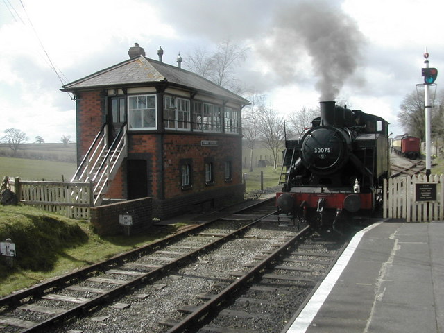
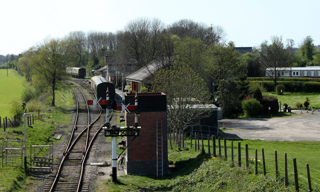
Cranmore railway station

Cranmore is the main railway station (and also the headquarters) of the preserved East Somerset Railway, in Somerset, England. == Services == Various services...

Cranmore West railway station

Cranmore West is a disused railway station on the East Somerset Railway. == Services == Services ceased calling at the beginning of the 2022 season, pending...

Small Down Knoll

Small Down Knoll, or Small Down Camp, is a Bronze Age hill fort near Evercreech in Somerset, England. The hill is on the southern edge of the Mendip Hills...

Cranmore, Somerset

Cranmore is a village and civil parish east of Shepton Mallet, in the Mendip district of Somerset, England. The parish includes the hamlets of Waterlip...

Church of St Mary, Chesterblade

The Anglican Church of St Mary in Chesterblade, Somerset, England was built in the 12th century. It is a Grade II* listed building. It is located 3 miles...

Leighton Road Cutting

Leighton Road Cutting (grid reference ST702437) is a 0.6 hectare geological Site of Special Scientific Interest between East Cranmore and Cloford in Somerset...

Nearby Amenities

Located within 500m of 51.175766,-2.4524287
Colour: grey
Design: three-level
Height: 209.93
Line Attachment: suspension
Material: metal
Operator: National Grid
Operator Wikidata: Q1465461
Power: tower
Ref: ZG146
Source: Bing
Start Date: 1960
Structure: lattice
Lat/Long: 51.1776247/-2.4524431
Colour: grey
Design: three-level
Height: 169.36
Line Attachment: suspension
Material: metal
Operator: National Grid
Operator Wikidata: Q1465461
Power: tower
Ref: ZG145
Source: Bing
Start Date: 1960
Structure: lattice
Lat/Long: 51.1771538/-2.4580354
Colour: grey
Design: three-level
Height: 203.03
Line Attachment: suspension
Material: metal
Operator: National Grid
Operator Wikidata: Q1465461
Power: tower
Ref: ZG147
Source: Bing
Start Date: 1960
Structure: lattice
Lat/Long: 51.1779895/-2.4482668
The data included in this document is from www.openstreetmap.org. The data is made available under ODbL.

Have you been to Harwood Wood?

Leave your review of Harwood Wood below (or comments, questions and feedback).