Burton Moor
Downs, Moorland in Derbyshire Derbyshire Dales
England
Burton Moor
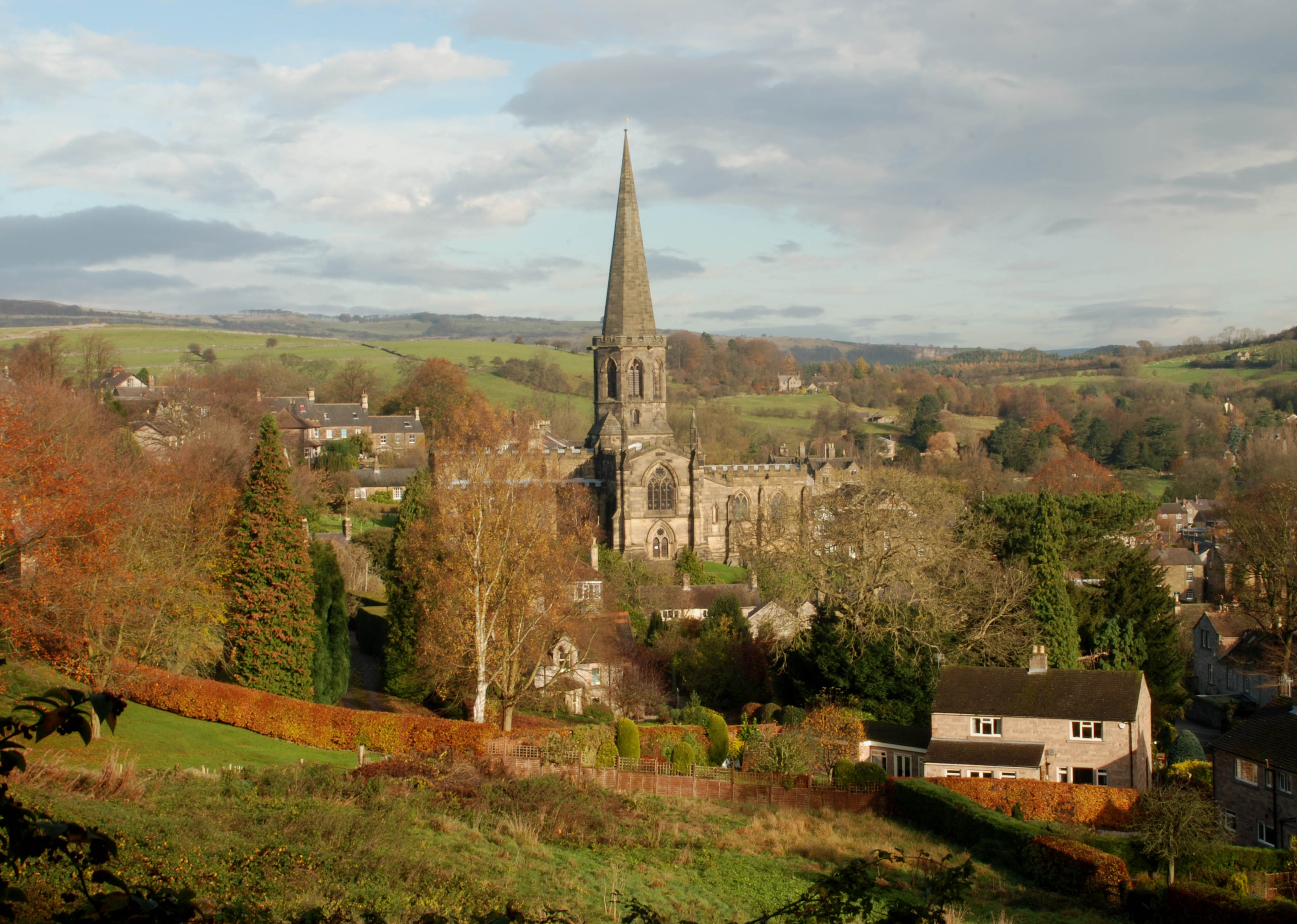
Burton Moor is a picturesque expanse of moorland located in Derbyshire, England. Situated within the Peak District National Park, it covers an area of approximately 5 square kilometers. The moorland is characterized by rolling hills, heather-covered slopes, and open grassland, creating a serene and untouched landscape.
Burton Moor is home to a diverse range of flora and fauna, including rare plants such as bilberry and cloudberry, as well as numerous species of birds, insects, and small mammals. The moorland provides an important habitat for these creatures, offering them a safe haven away from human habitation.
Visitors to Burton Moor can immerse themselves in its natural beauty by exploring the network of footpaths and trails that crisscross the area. These paths offer breathtaking views of the surrounding countryside, with opportunities to spot wildlife and enjoy the tranquility of the moorland.
Additionally, the moorland serves as a popular destination for outdoor enthusiasts, attracting hikers, cyclists, and nature lovers alike. Its undulating terrain and vast open spaces make it an ideal location for outdoor activities, providing a challenge for those seeking adventure or a peaceful escape for those in search of solitude.
Burton Moor is also steeped in history, with evidence of human activity dating back thousands of years. Archaeological sites, including ancient burial mounds and stone circles, can be found scattered across the moorland, offering a glimpse into the area's rich past.
Overall, Burton Moor is a remarkable natural landscape that showcases the beauty of Derbyshire's countryside. Its diverse ecosystems, scenic vistas, and historical significance make it a must-visit destination for anyone wishing to connect with nature and immerse themselves in the wonders of the great outdoors.
If you have any feedback on the listing, please let us know in the comments section below.
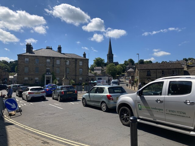
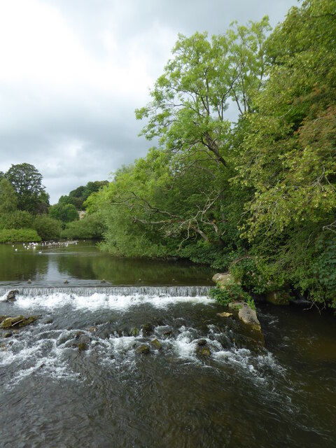
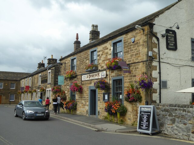
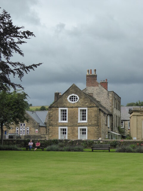
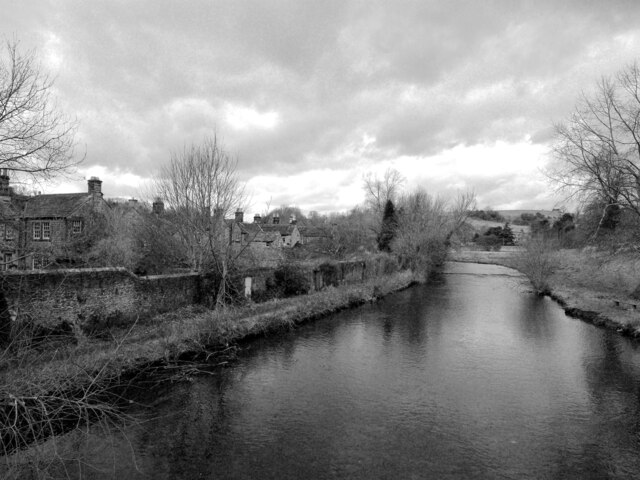
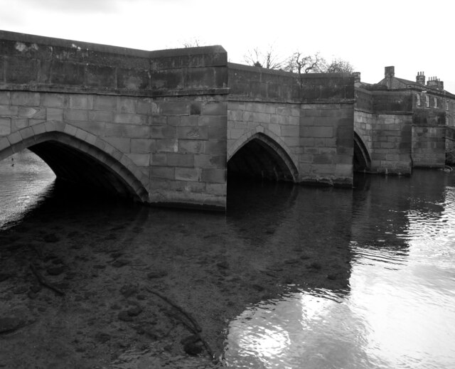
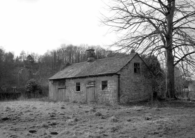
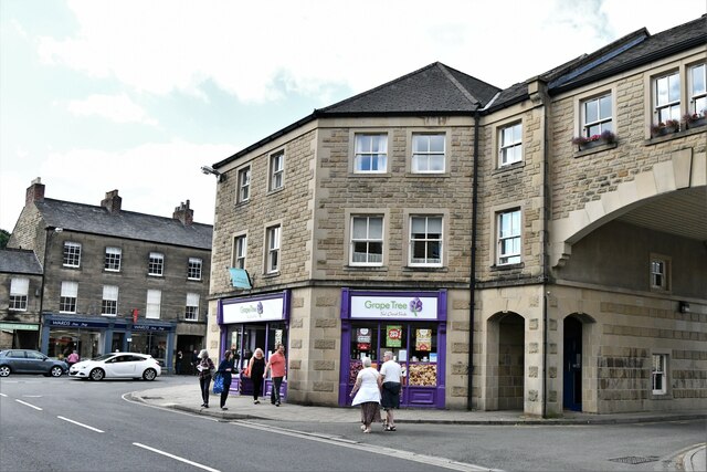
Burton Moor Images
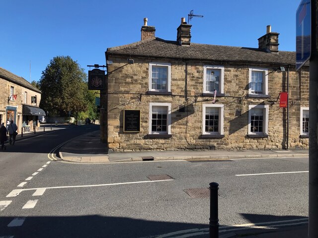
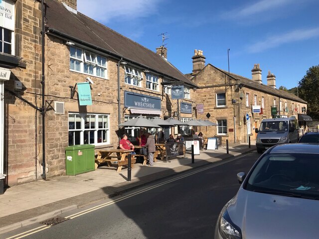
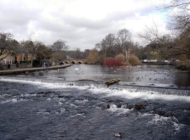
Images are sourced within 2km of 53.204052/-1.6971997 or Grid Reference SK2067. Thanks to Geograph Open Source API. All images are credited.


Burton Moor is located at Grid Ref: SK2067 (Lat: 53.204052, Lng: -1.6971997)
Administrative County: Derbyshire
District: Derbyshire Dales
Police Authority: Derbyshire
What 3 Words
///buzz.dragonfly.lifts. Near Bakewell, Derbyshire
Nearby Locations
Related Wikis

Lady Manners School
Lady Manners School is an English secondary school located in Bakewell, a market town in the Peak District National Park, Derbyshire. It was founded on...

Over Haddon
Over Haddon is a small village and civil parish in Derbyshire, England. The population of the civil parish (including Nether Haddon) at the 2011 Census...

St Anne's Church, Over Haddon
St Anne's Church, Over Haddon is a Grade II listed parish church in the Church of England in Over Haddon, Derbyshire. == History == The church was built...

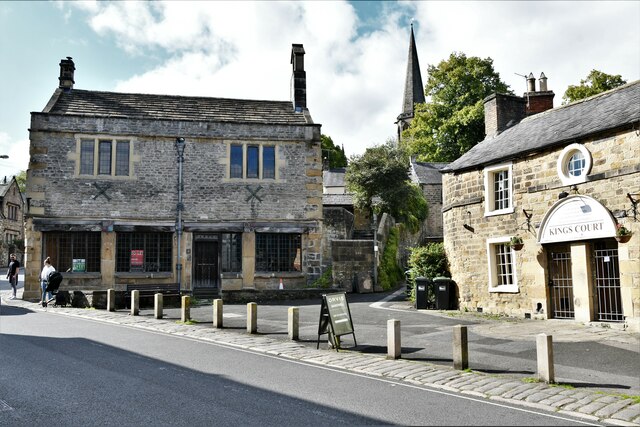
Old House Museum, Bakewell
The Old House Museum in the town of Bakewell in Derbyshire is a typical 16th century yeoman's house that now houses a small museum with an exhibition of...
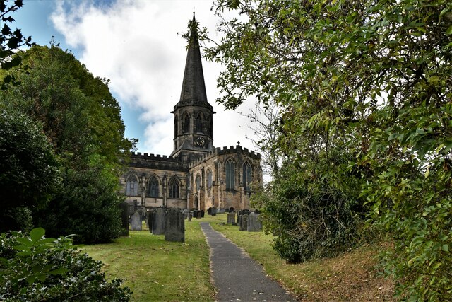
All Saints' Church, Bakewell
All Saints' Church, Bakewell, is the parish church of Bakewell, Derbyshire, England. It is a Grade I listed building. == The first church == The church...
St Anselm's School, Bakewell
S. Anselm's Preparatory School is a private school located in Bakewell, Derbyshire, in the heart of the Peak District. Founded in 1888. Winner of the Tatler...

Bagshaw Hall
Bagshaw Hall is a 17th-century grade II* listed country hall on Bagshaw Hill in Bakewell, Derbyshire. == History == The hall was constructed by Thomas...

Bakewell Urban District
Bakewell was an Urban District in Derbyshire, England from 1894 to 1974. It was created under the Local Government Act 1894. The district was abolished...
Nearby Amenities
Located within 500m of 53.204052,-1.6971997Have you been to Burton Moor?
Leave your review of Burton Moor below (or comments, questions and feedback).