Bretton Moor

Downs, Moorland in Derbyshire Derbyshire Dales

England

Bretton Moor

From Hucklow Edge View from the Hucklow Edge to Bretton road at SK189780 looking west towards Grindlow and Great Hucklow.
From Hucklow Edge Credit: Alan Fleming

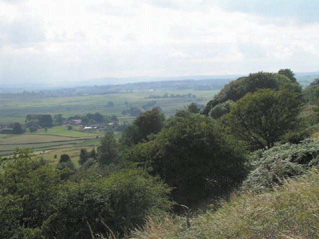
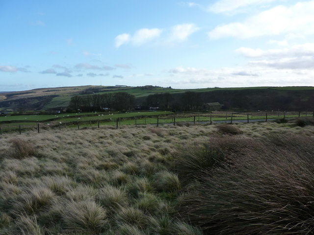
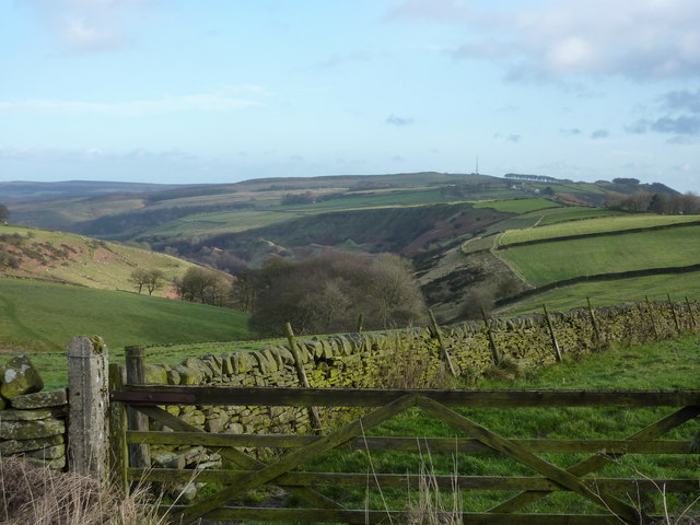
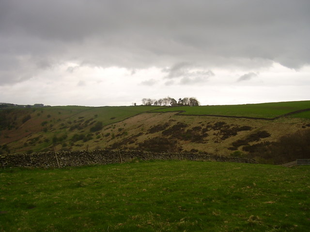
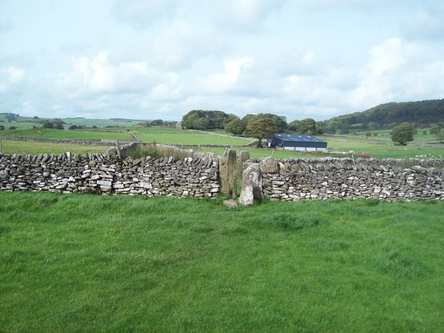
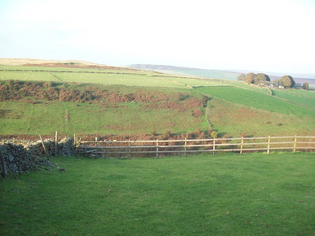
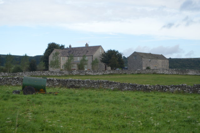
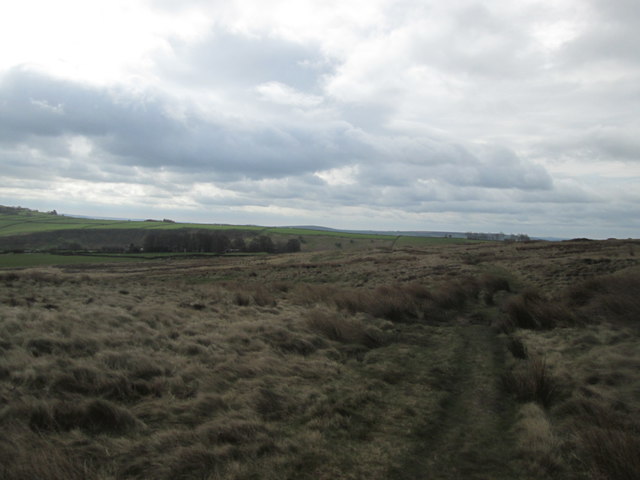
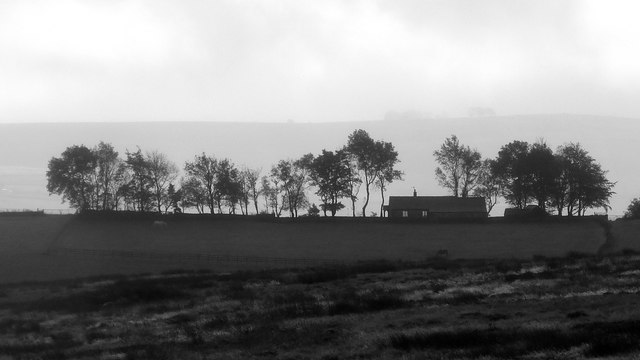
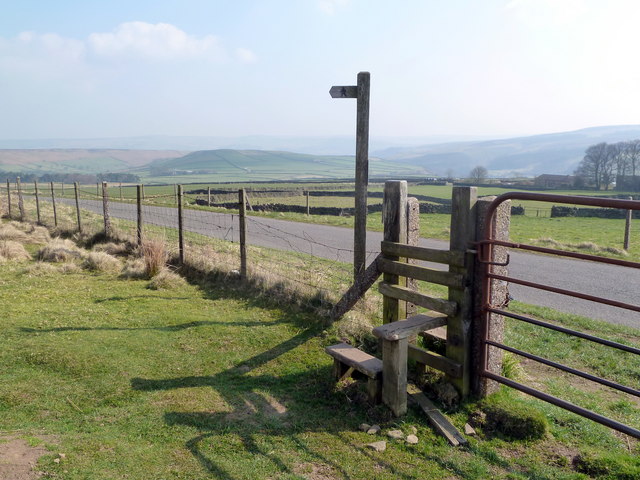
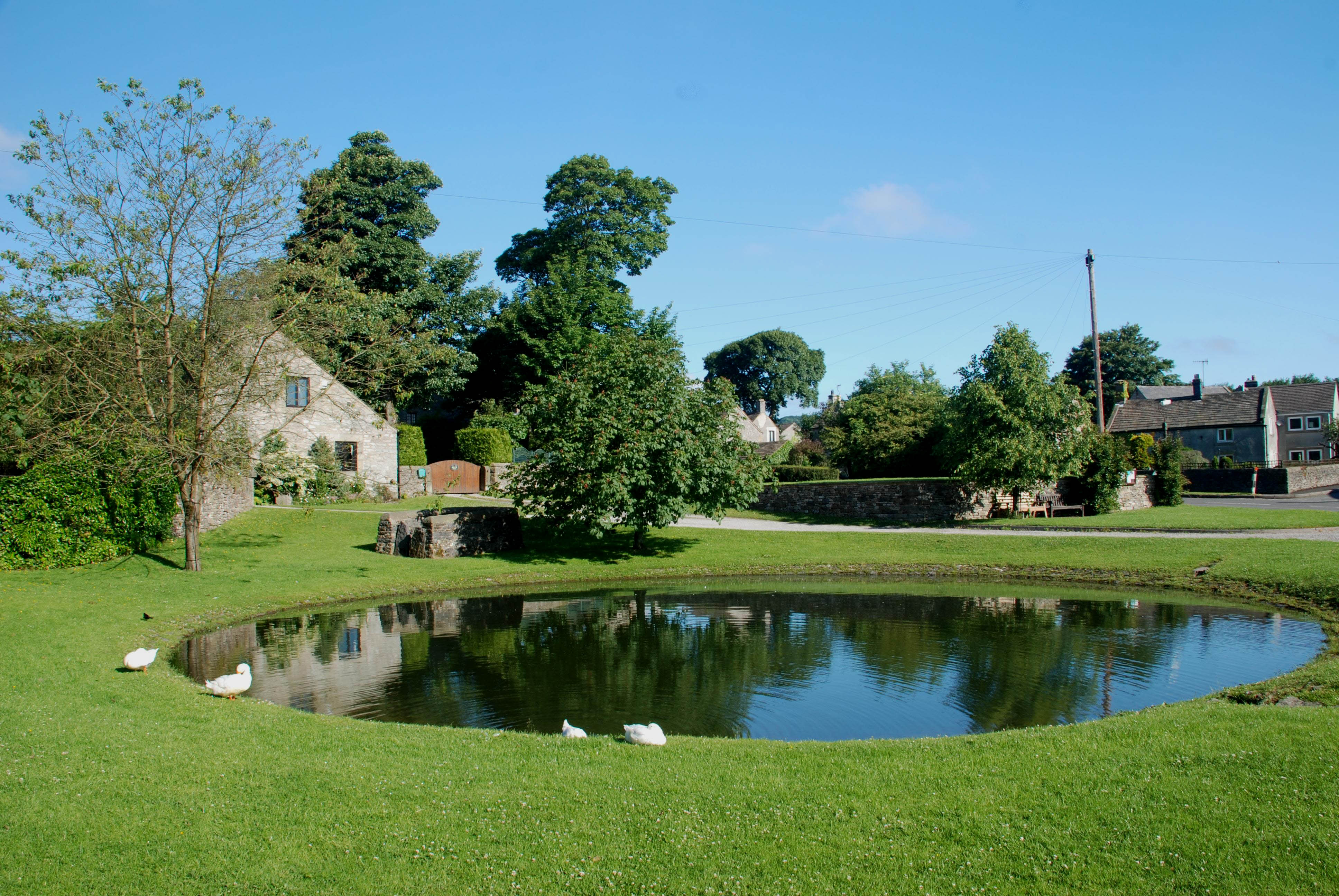
Bretton Moor, located in Derbyshire, England, is a picturesque area characterized by its rolling downs and expansive moorland. It covers an approximate area of 2.5 square kilometers and is situated within the boundaries of the Peak District National Park.

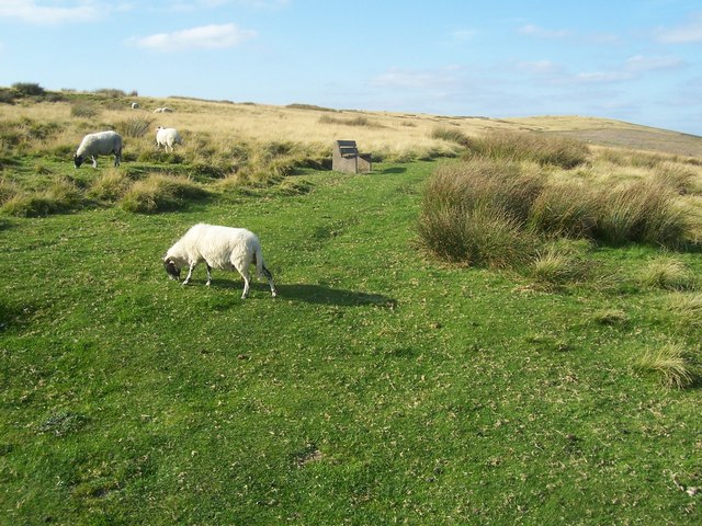
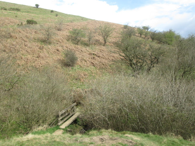
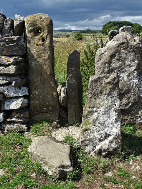
The moorland is dominated by heather, grasses, and scattered shrubs, creating a beautiful and diverse landscape. It is home to a wide range of flora and fauna, including several rare and protected species. The moorland also features a network of footpaths, allowing visitors to explore and enjoy the natural beauty of the area.

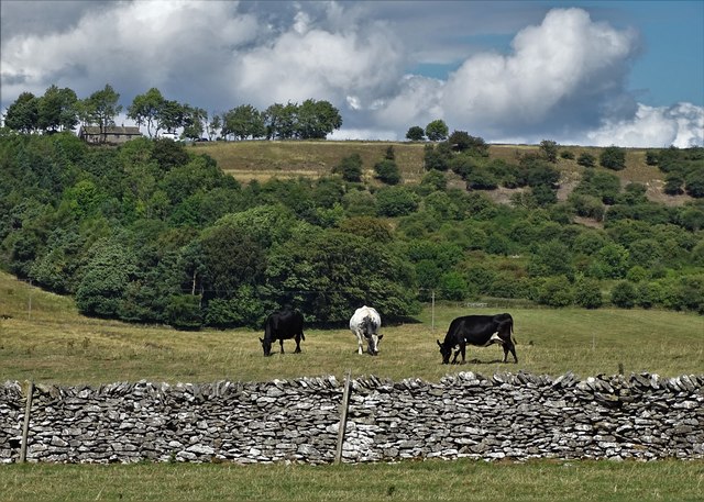
The downs, on the other hand, are characterized by their gently rolling hills and open grasslands. They provide stunning panoramic views of the surrounding countryside, making them a popular destination for hikers and nature enthusiasts. The downs are also home to a variety of wildlife, including birds, rabbits, and other small mammals.

Bretton Moor offers visitors a tranquil and serene atmosphere, ideal for those looking to escape the hustle and bustle of city life. The area is known for its peace and tranquility, providing a perfect setting for walking, picnicking, and simply enjoying the natural surroundings.

Overall, Bretton Moor in Derbyshire is a haven for nature lovers, offering a diverse and beautiful landscape that is sure to captivate visitors with its charm and tranquility.

If you have any feedback on the listing, please let us know in the comments section below.
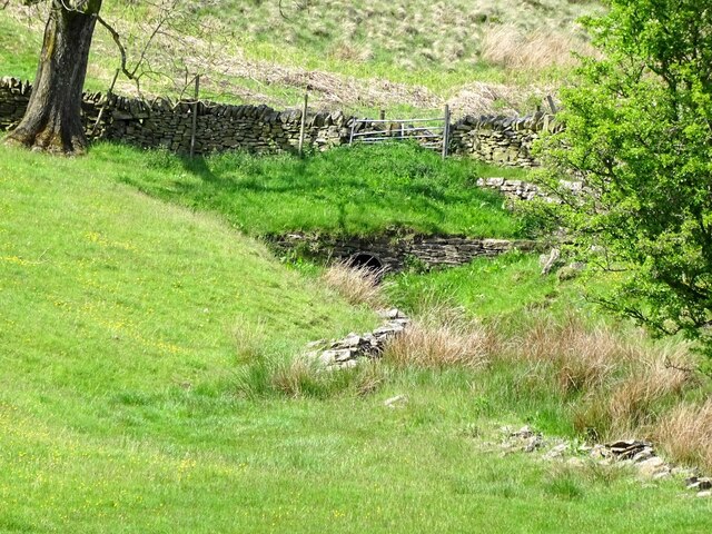
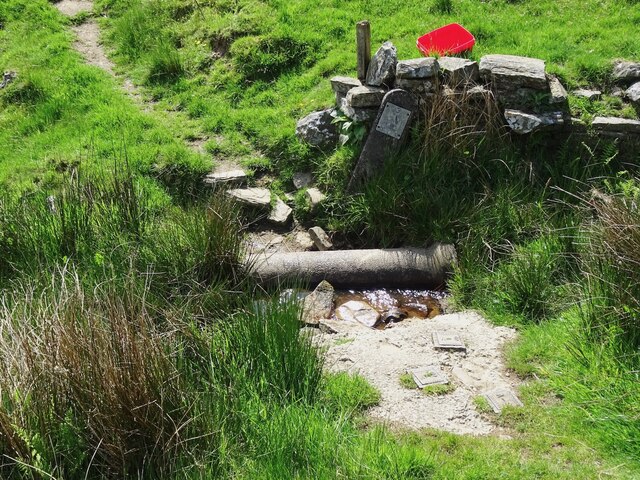
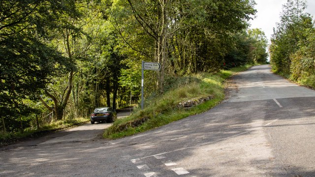
Bretton Moor Images

Images are sourced within 2km of 53.298953/-1.6958993 or Grid Reference SK2078. Thanks to Geograph Open Source API. All images are credited.

From Hucklow Edge View from the Hucklow Edge to Bretton road at SK189780 looking west towards Grindlow and Great Hucklow.
From Hucklow Edge
View from the Hucklow Edge to Bretton road at SK189780 looking west towards Grindlow and Great Hucklow.
From Hucklow Edge to Abney Moor Bretton Brook has carved out the valley between the high points.  The gates allow access to the adjacent reservoir.
From Hucklow Edge to Abney Moor
Bretton Brook has carved out the valley between the high points. The gates allow access to the adjacent reservoir.
Edge of Abney Moor Grange Farm  over the minor road at SK 190 785
Edge of Abney Moor
Grange Farm over the minor road at SK 190 785
Looking east down Bretton Clough The transmitter mast on Sir William Hill, and the Barrel Inn are on the right horizon
Looking east down Bretton Clough
The transmitter mast on Sir William Hill, and the Barrel Inn are on the right horizon
Footpath over Abney Moor
Across Bretton Clough Building on Hucklow Edge.
Across Bretton Clough
Building on Hucklow Edge.
Squeezer Stile between Foolow and Grindlow This picture was taken from the public footpath connecting the two villages from a position near Roods Farm.
Squeezer Stile between Foolow and Grindlow
This picture was taken from the public footpath connecting the two villages from a position near Roods Farm.
Across the Valley from Hucklow Edge This picture was taken on a fine evening in mid October. Abney Grange (SK1978) is visible on the opposite side of the valley.
Across the Valley from Hucklow Edge
This picture was taken on a fine evening in mid October. Abney Grange (SK1978) is visible on the opposite side of the valley.
Roods Farm
Roods Farm
Abney Moor towards Abney Grange
Footbridge south of Abney Grange
On the path from Foolow to Grindlow This seemingly random collection of limestone uprights acts as a stile, allowing access to the green lane beyond. It was also spotted by Christine Hasman in January 2002 - <a title="https://www.geograph.org.uk/photo/75881" href="https://www.geograph.org.uk/photo/75881">Link</a>
On the path from Foolow to Grindlow
This seemingly random collection of limestone uprights acts as a stile, allowing access to the green lane beyond. It was also spotted by Christine Hasman in January 2002 - Link
Cattle and limestone wall below Hucklow Edge
Trees and cottage on Hucklow Edge Photographed with a long lens from Abney Moor
Trees and cottage on Hucklow Edge
Photographed with a long lens from Abney Moor
Bretton Brook emerging from a culvert under Camphill Lane
Footpath crossing Bretton Brook
Hucklow Edge Road junction at Hucklow Edge.
Hucklow Edge
Road junction at Hucklow Edge.
Stile and footpath sign near Abney Grange With superb views over to Eyam Moor
Stile and footpath sign near Abney Grange
With superb views over to Eyam Moor
Show me another place!

Bretton Moor is located at Grid Ref: SK2078 (Lat: 53.298953, Lng: -1.6958993)

Administrative County: Derbyshire

District: Derbyshire Dales

Police Authority: Derbyshire

What 3 Words

///husband.talker.cured. Near Hathersage, Derbyshire

Related Wikis

Jumber Brook

Jumber Brook is a stream in Eyam in the Derbyshire Peak District. The stream originates to the north of the village at Highcliffe. The brook flows south...

Abney, Derbyshire

Abney (Old English Abba's Island) is a village in the English county of Derbyshire. The settlement was mentioned as Habenai in the Domesday book of 1086...

Eyam Moor

Eyam Moor is a plateau-topped hill between the villages of Eyam and Hathersage in Derbyshire, in the Peak District of England. The summit of Sir William...

St Hugh's Church, Foolow

St Hugh's Church, Foolow is a Grade II listed parish church in the Church of England in Foolow, Derbyshire. == History == The church was opened on 17 November...

Foolow

Foolow (Old English possibly for "bird hill" or "colourful hill") is a village in the Derbyshire Peak District. == Village centre == The village green...

Eyam Museum

Eyam Museum or as it is locally known Eyam Plague museum is a local museum in the village of Eyam, located in the Peak District, Derbyshire, England....

St Lawrence's Church, Eyam

St Lawrence’s Church, Eyam is a Grade II* listed parish church in the Church of England in Eyam, Derbyshire. == History == The church is medieval with...

Abney and Abney Grange

Abney and Abney Grange is a civil parish in the Derbyshire Dales district of Derbyshire, England. It covers the villages of Abney and Abney Grange....

Nearby Amenities

Located within 500m of 53.298953,-1.6958993
Bretton
Is In Country: UK
Is In County: Derbyshire
Place: hamlet
Wikidata: Q12053531
Wikipedia: en:Bretton, Derbyshire
Lat/Long: 53.2979948/-1.7011558
Barrier: stile
Dog Gate: yes
Note: Access land NE
Steps: 2
Stile: stepover
Lat/Long: 53.3018968/-1.6941148
Barrier: kissing_gate
Foot: yes
Lat/Long: 53.3001741/-1.6912602
Ele: 360.8577881
Lat/Long: 53.3008399/-1.6957492
Ele: 354.3690186
Lat/Long: 53.3010183/-1.6976029
Barrier: stile
Ele: 351.9658203
Material: stone
Source: survey;bing;gps
Steps: 2
Stile: stepover
Lat/Long: 53.3011579/-1.6978028
Barrier: stile
Ele: 336.1041260
Stile: squeezer
Lat/Long: 53.3022962/-1.6994212
Bench
Backrest: yes
Ele: 327.9328613
Lat/Long: 53.3023599/-1.6941897
Ele: 296.6903076
Lat/Long: 53.3026325/-1.6934687
Ele: 311
Lat/Long: 53.3017539/-1.6933054
Power: pole
Source: Bing
Lat/Long: 53.2947292/-1.6980666
Power: pole
Lat/Long: 53.295308/-1.700172
Power: pole
Lat/Long: 53.2950194/-1.6991447
Barrier: stile
Material: wood
Source: survey;gps
Stile: ladder
Lat/Long: 53.2978746/-1.6902181
Barrier: stile
Material: stone
Source: survey;gps
Stile: stepover
Lat/Long: 53.2990065/-1.6921359
Barrier: entrance
Source: survey;gps
Lat/Long: 53.2952262/-1.6977102
Barrier: stile
Material: stone
Source: survey;gps
Stile: stepover
Lat/Long: 53.2975904/-1.698811
Bench
Backrest: no
Source: survey;gps
Lat/Long: 53.2977491/-1.7006248
Board Type: history
Information: board
Tourism: information
Lat/Long: 53.2977287/-1.7006385
Ford: yes
Lat/Long: 53.3028333/-1.6932328
Entrance: yes
Lat/Long: 53.2998291/-1.6964087
The data included in this document is from www.openstreetmap.org. The data is made available under ODbL.

Have you been to Bretton Moor?

Leave your review of Bretton Moor below (or comments, questions and feedback).