Grind Low

Heritage Site in Derbyshire Derbyshire Dales

England

Grind Low

Rutland Square, Bakewell The war memorial and Rutland Arms Hotel is seen in Rutland Square. A very successful 19th century coaching inn, the hotel building was constructed in 1804. The Grade I listed All Saints’ Church is seen in the background, parts of which date from the 12th century, although most of the structure was completely rebuilt in the mid-19th century.
Rutland Square, Bakewell Credit: Daniel Parks

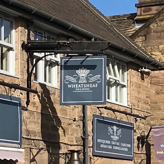
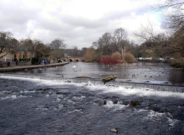
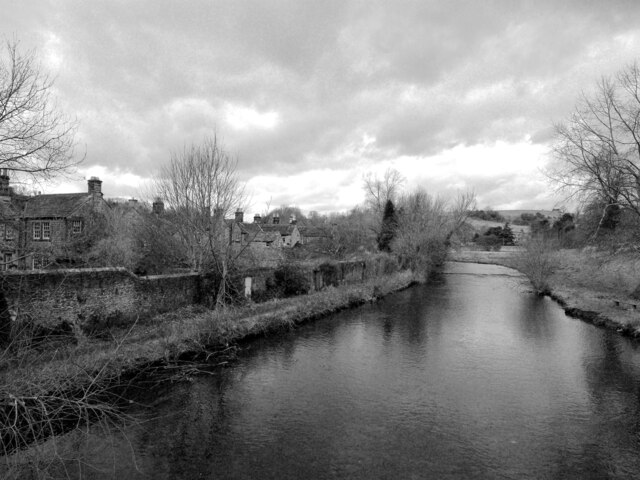
Grind Low is a small village located in the county of Derbyshire, England. Situated in the heart of the Peak District National Park, it is renowned for its picturesque landscapes, rich history, and cultural heritage. The village is nestled within the rolling hills and valleys of the White Peak area, providing visitors with breathtaking views and a tranquil atmosphere.

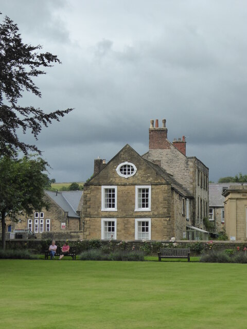
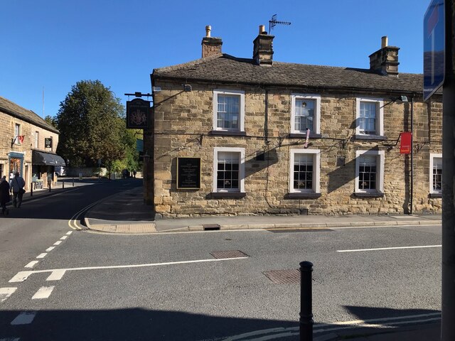
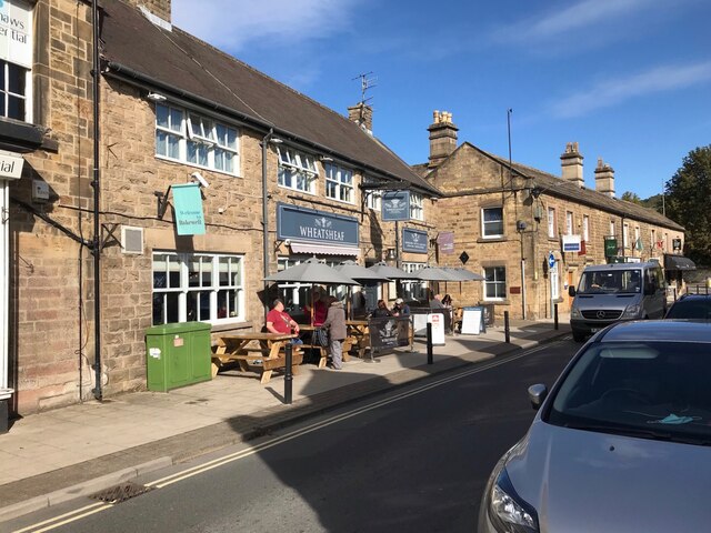
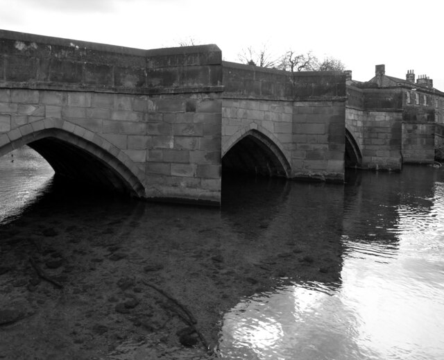
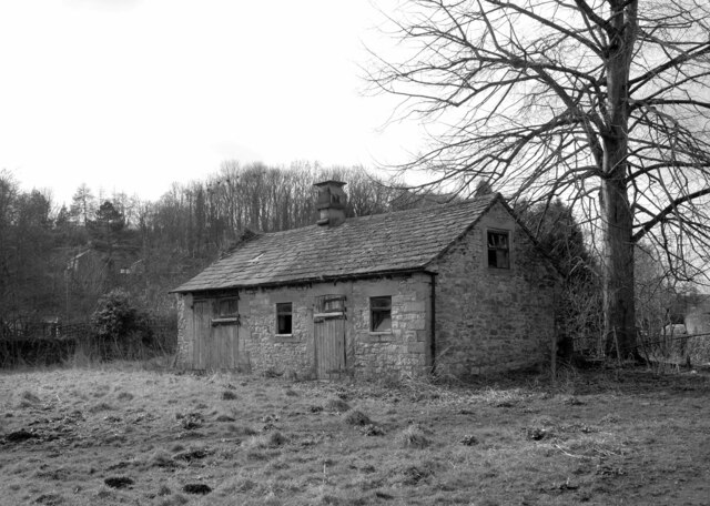
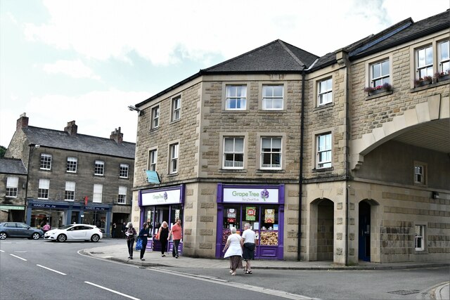
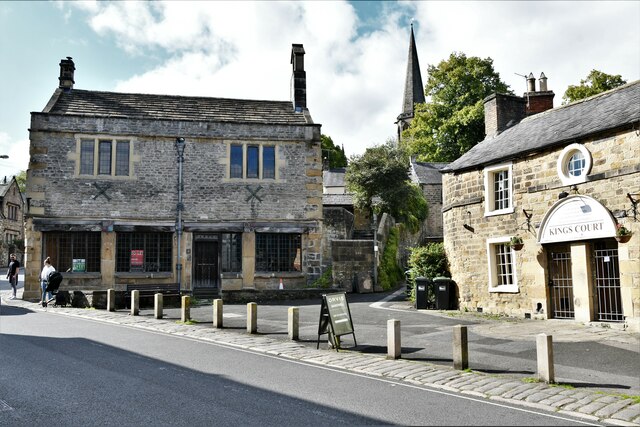
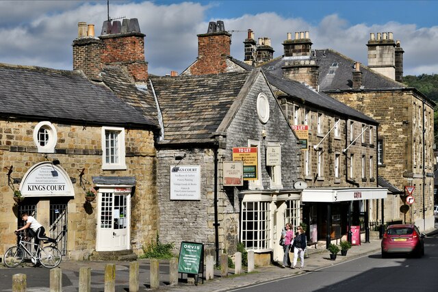
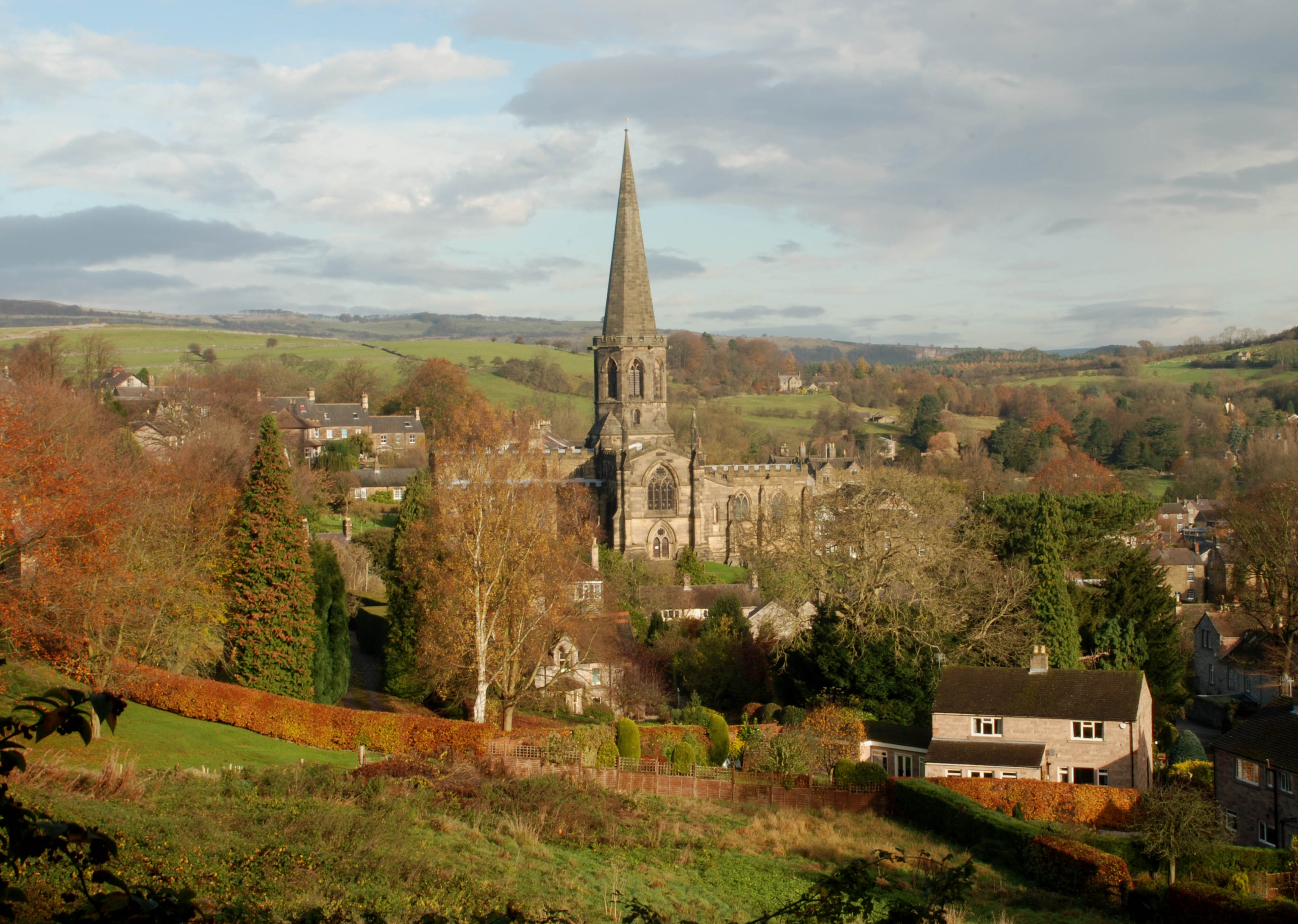
Grind Low is particularly famous for its status as a heritage site due to its well-preserved historical buildings and structures. The village boasts a range of architectural gems, including traditional stone cottages, a medieval church, and a charming village green. These structures showcase the village's long-standing history and provide a glimpse into the past.

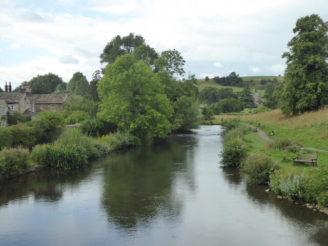
For nature enthusiasts and outdoor lovers, Grind Low offers an array of activities and attractions. The surrounding countryside is dotted with walking trails and footpaths, allowing visitors to explore the natural beauty of the area. Grind Low is also home to several caves and underground formations, attracting spelunkers and adventurers from far and wide.

The village's rich history is further accentuated by its proximity to other notable landmarks within the Peak District National Park. Just a short distance away is the historic village of Castleton, renowned for its Norman castle and stunning caverns. The nearby Mam Tor hill provides panoramic views of the entire region and is a popular spot for hikers and photographers.

Overall, Grind Low in Derbyshire offers a unique blend of natural beauty, historical significance, and outdoor adventure. Whether one seeks a peaceful retreat amidst serene landscapes or wishes to delve into the region's fascinating history, this heritage site provides a memorable experience for all.

If you have any feedback on the listing, please let us know in the comments section below.
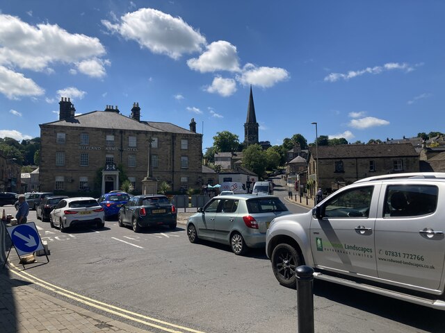
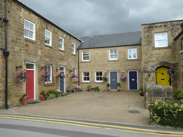
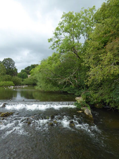
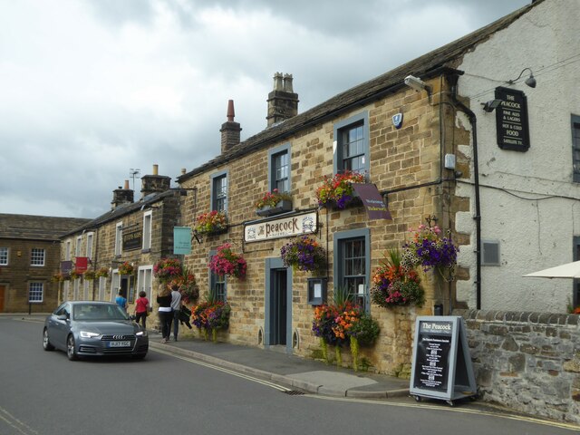
Grind Low Images

Images are sourced within 2km of 53.203/-1.693 or Grid Reference SK2067. Thanks to Geograph Open Source API. All images are credited.

Rutland Square, Bakewell The war memorial and Rutland Arms Hotel is seen in Rutland Square. A very successful 19th century coaching inn, the hotel building was constructed in 1804. The Grade I listed All Saints’ Church is seen in the background, parts of which date from the 12th century, although most of the structure was completely rebuilt in the mid-19th century.
Rutland Square, Bakewell
The war memorial and Rutland Arms Hotel is seen in Rutland Square. A very successful 19th century coaching inn, the hotel building was constructed in 1804. The Grade I listed All Saints’ Church is seen in the background, parts of which date from the 12th century, although most of the structure was completely rebuilt in the mid-19th century.
Houses in Rutland Mews Bakewell An attractive blend of old houses and a new building linking them together.
Houses in Rutland Mews Bakewell
An attractive blend of old houses and a new building linking them together.
Weir on the River Wye at Bakewell
The Peacock public house in Bakewell
House overlooking the bowling green in Bakewell
The River Wye upstream from the A619 in Bakewell
The sign of The Queens Arms See <a href="https://www.geograph.org.uk/photo/6984627">SK2168 : The Queens Arms</a>
The sign of The Queens Arms
The Queens Arms
The Queens Arms
The Wheatsheaf On Bridge Street, Bakewell.
The Wheatsheaf
On Bridge Street, Bakewell.
The sign of The Wheatsheaf See: <a href="https://www.geograph.org.uk/photo/6984633">SK2168 : The Wheatsheaf</a>.
The sign of The Wheatsheaf
The River Wye, Bakewell A weir seen from a footbridge with Bakewell Bridge in the background.
The River Wye, Bakewell
A weir seen from a footbridge with Bakewell Bridge in the background.
The River Wye seen from Bakewell Bridge The River Wye is a limestone river in the Peak District of Derbyshire. It is 15 miles in length, and is one of the major tributaries of the River Derwent, which flows into the River Trent.
The river rises on Axe Edge and flows east then south east to meet the Derwent near Rowsley. It has an impressive valley through Chee Dale and Monsal Dale.
The River Wye seen from Bakewell Bridge
The River Wye is a limestone river in the Peak District of Derbyshire. It is 15 miles in length, and is one of the major tributaries of the River Derwent, which flows into the River Trent. The river rises on Axe Edge and flows east then south east to meet the Derwent near Rowsley. It has an impressive valley through Chee Dale and Monsal Dale.
Bakewell Bridge Bakewell Bridge carries the A619 over the River Wye. It was originally constructed in the fourteenth century and was widemed in the nineteenth. It is a grade I listed structure.
Bakewell Bridge
Bakewell Bridge carries the A619 over the River Wye. It was originally constructed in the fourteenth century and was widemed in the nineteenth. It is a grade I listed structure.
Derelict barn, Scot's Garden, Bakewell
Bakewell: Grape Tree
Bakewell: Hawkridge Books window display
Bakewell, King Street
Show me another place!

Grind Low is located at Grid Ref: SK2067 (Lat: 53.203, Lng: -1.693)

Administrative County: Derbyshire

District: Derbyshire Dales

Police Authority: Derbyshire

What 3 Words

///contact.track.elsewhere. Near Bakewell, Derbyshire

Related Wikis

Lady Manners School

Lady Manners School is an English secondary school located in Bakewell, a market town in the Peak District National Park, Derbyshire. It was founded on...

Over Haddon

Over Haddon is a small village and civil parish in Derbyshire, England. The population of the civil parish (including Nether Haddon) at the 2011 Census...

St Anne's Church, Over Haddon

St Anne's Church, Over Haddon is a Grade II listed parish church in the Church of England in Over Haddon, Derbyshire. == History == The church was built...

All Saints' Church, Bakewell

All Saints' Church, Bakewell, is the parish church of Bakewell, Derbyshire, England. It is a Grade I listed building. == The first church == The church...

Old House Museum, Bakewell

The Old House Museum in the town of Bakewell in Derbyshire is a typical 16th century yeoman's house that now houses a small museum with an exhibition of...

Burton Closes

Burton Closes is a 19th-century country house, now in use as a residential nursing home, situated at Haddon Road, Bakewell, Derbyshire. It is a Grade II...

St Anselm's School, Bakewell

S. Anselm's Preparatory School is a private school located in Bakewell, Derbyshire, in the heart of the Peak District. Founded in 1888. Winner of the Tatler...

Bakewell Urban District

Bakewell was an Urban District in Derbyshire, England from 1894 to 1974. It was created under the Local Government Act 1894. The district was abolished...

Nearby Amenities

Located within 500m of 53.203,-1.693
Barrier: stile
Material: stone
Source: survey;gps
Stile: squeezer
Lat/Long: 53.199181/-1.6915969
Barrier: stile
Material: stone
Source: survey;gps
Stile: squeezer
Lat/Long: 53.1998498/-1.6917926
Barrier: stile
Material: stone
Source: survey;gps
Stile: stepover
Lat/Long: 53.1998516/-1.6911779
Barrier: stile
Material: stone
Source: survey;gps
Stile: squeezer
Lat/Long: 53.2000188/-1.6918984
Barrier: stile
Material: metal
Source: survey;gps
Stile: squeezer
Lat/Long: 53.2000541/-1.6908858
Barrier: entrance
Source: survey;gps
Lat/Long: 53.2004513/-1.6899812
Barrier: entrance
Source: survey;gps
Lat/Long: 53.2015623/-1.6873145
Barrier: stile
Material: stone
Source: survey;gps
Stile: squeezer
Lat/Long: 53.2024496/-1.6856147
Barrier: stile
Material: stone
Source: survey;gps
Stile: squeezer
Lat/Long: 53.2028923/-1.6905881
Barrier: stile
Material: wood
Source: survey;gps
Stile: stepover
Lat/Long: 53.2033858/-1.6901768
Barrier: stile
Material: stone
Source: survey;gps
Stile: stepover
Lat/Long: 53.2039111/-1.6889068
Barrier: stile
Material: stone
Source: survey;gps
Stile: squeezer
Lat/Long: 53.2045104/-1.6901776
Barrier: stile
Source: survey;gps
Stile: squeezer
Lat/Long: 53.204528/-1.6901942
Barrier: stile
Material: metal
Source: survey;gps
Stile: stepover
Lat/Long: 53.2055976/-1.6886721
Barrier: stile
Source: survey;gps
Stile: squeezer
Lat/Long: 53.2063332/-1.6951166
Barrier: stile
Material: stone
Source: survey;gps
Stile: stepover
Lat/Long: 53.2067801/-1.6925035
Barrier: stile
Source: survey;gps
Stile: stepover
Lat/Long: 53.2069894/-1.6924735
Barrier: stile
Material: wood
Source: survey;gps
Stile: stepover
Lat/Long: 53.2008658/-1.6914511
The data included in this document is from www.openstreetmap.org. The data is made available under ODbL.

Have you been to Grind Low?

Leave your review of Grind Low below (or comments, questions and feedback).