Moor Edge Plantations

Wood, Forest in Derbyshire Derbyshire Dales

England

Moor Edge Plantations

Rutland Square, Bakewell The war memorial and Rutland Arms Hotel is seen in Rutland Square. A very successful 19th century coaching inn, the hotel building was constructed in 1804. The Grade I listed All Saints’ Church is seen in the background, parts of which date from the 12th century, although most of the structure was completely rebuilt in the mid-19th century.
Rutland Square, Bakewell Credit: Daniel Parks

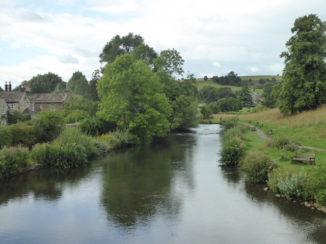
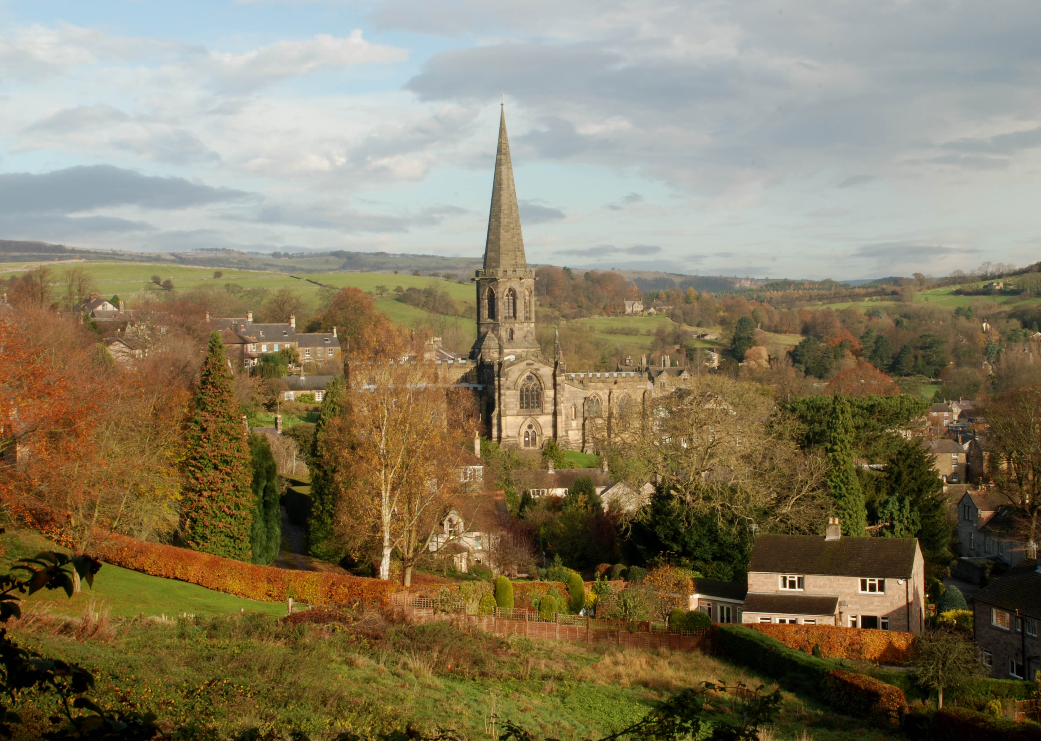
Moor Edge Plantations is a picturesque woodland area located in Derbyshire, England. Spanning over a sprawling area, the plantations are known for their natural beauty and diverse ecosystem. The woodlands are situated on the edge of the moors, giving them their distinctive name.

The plantations are primarily comprised of deciduous trees, including oak, beech, and birch, which create a stunning color palette during autumn. The dense canopy formed by these trees provides a sheltered environment for a variety of wildlife species, making it a haven for nature enthusiasts and birdwatchers.

Visitors to Moor Edge Plantations can enjoy a network of well-maintained trails that meander through the woods, offering a tranquil and peaceful setting for walking, hiking, or cycling. These trails provide access to the heart of the woodlands, allowing visitors to appreciate the natural beauty up close.

The plantations are also home to a diverse range of flora, such as bluebells, wild garlic, and ferns, which add to the enchanting ambiance of the area. The woodlands boast a rich history, and remnants of old boundary walls and stone structures can still be found, adding an element of historical significance to the site.

Moor Edge Plantations offer a serene escape from the hustle and bustle of everyday life, allowing visitors to immerse themselves in the tranquility of nature. With its stunning scenery, abundant wildlife, and well-maintained trails, it is a popular destination for outdoor enthusiasts and nature lovers alike.

If you have any feedback on the listing, please let us know in the comments section below.

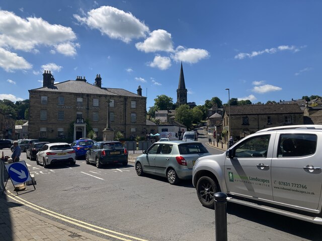
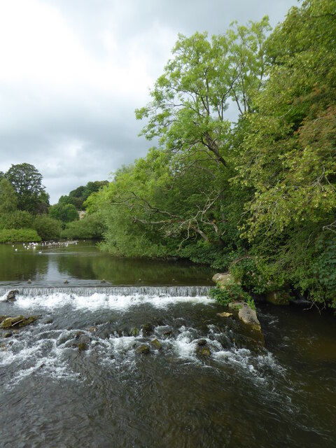
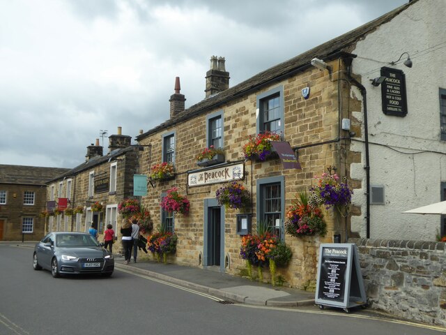
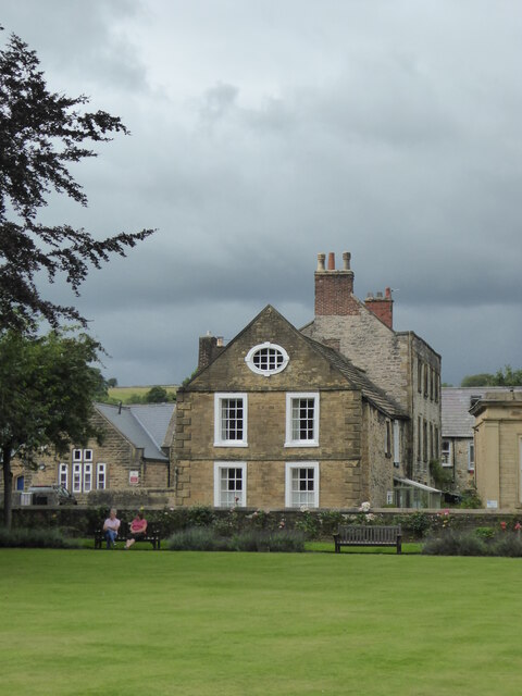
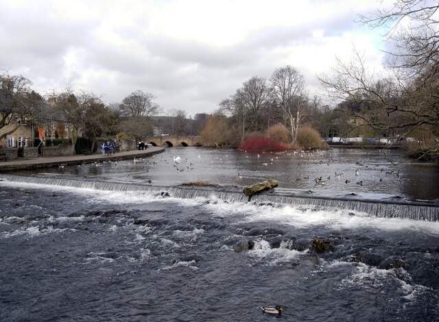
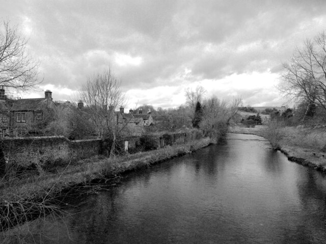
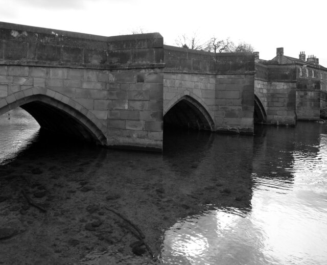
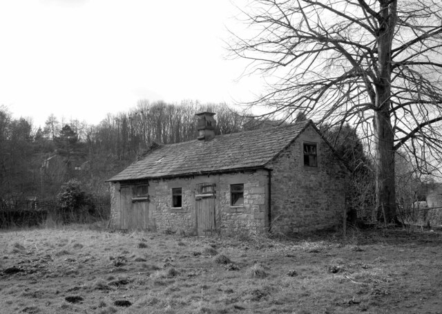
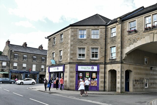
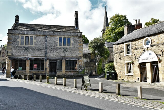
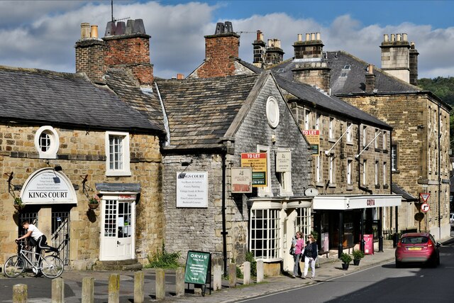
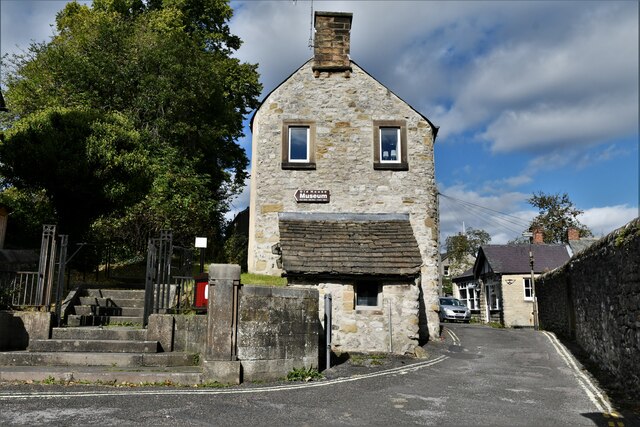
Moor Edge Plantations Images

Images are sourced within 2km of 53.204737/-1.6977638 or Grid Reference SK2067. Thanks to Geograph Open Source API. All images are credited.

Rutland Square, Bakewell The war memorial and Rutland Arms Hotel is seen in Rutland Square. A very successful 19th century coaching inn, the hotel building was constructed in 1804. The Grade I listed All Saints’ Church is seen in the background, parts of which date from the 12th century, although most of the structure was completely rebuilt in the mid-19th century.
Rutland Square, Bakewell
The war memorial and Rutland Arms Hotel is seen in Rutland Square. A very successful 19th century coaching inn, the hotel building was constructed in 1804. The Grade I listed All Saints’ Church is seen in the background, parts of which date from the 12th century, although most of the structure was completely rebuilt in the mid-19th century.
Weir on the River Wye at Bakewell
The Peacock public house in Bakewell
House overlooking the bowling green in Bakewell
The River Wye upstream from the A619 in Bakewell
The sign of The Queens Arms See <a href="https://www.geograph.org.uk/photo/6984627">SK2168 : The Queens Arms</a>
The sign of The Queens Arms
The Queens Arms
The Queens Arms
The Wheatsheaf On Bridge Street, Bakewell.
The Wheatsheaf
On Bridge Street, Bakewell.
The sign of The Wheatsheaf See: <a href="https://www.geograph.org.uk/photo/6984633">SK2168 : The Wheatsheaf</a>.
The sign of The Wheatsheaf
The River Wye, Bakewell A weir seen from a footbridge with Bakewell Bridge in the background.
The River Wye, Bakewell
A weir seen from a footbridge with Bakewell Bridge in the background.
The River Wye seen from Bakewell Bridge The River Wye is a limestone river in the Peak District of Derbyshire. It is 15 miles in length, and is one of the major tributaries of the River Derwent, which flows into the River Trent.
The river rises on Axe Edge and flows east then south east to meet the Derwent near Rowsley. It has an impressive valley through Chee Dale and Monsal Dale.
The River Wye seen from Bakewell Bridge
The River Wye is a limestone river in the Peak District of Derbyshire. It is 15 miles in length, and is one of the major tributaries of the River Derwent, which flows into the River Trent. The river rises on Axe Edge and flows east then south east to meet the Derwent near Rowsley. It has an impressive valley through Chee Dale and Monsal Dale.
Bakewell Bridge Bakewell Bridge carries the A619 over the River Wye. It was originally constructed in the fourteenth century and was widemed in the nineteenth. It is a grade I listed structure.
Bakewell Bridge
Bakewell Bridge carries the A619 over the River Wye. It was originally constructed in the fourteenth century and was widemed in the nineteenth. It is a grade I listed structure.
Derelict barn, Scot's Garden, Bakewell
Bakewell: Grape Tree
Bakewell: Hawkridge Books window display
Bakewell, King Street
Bakewell: The Old House Museum
Show me another place!

Moor Edge Plantations is located at Grid Ref: SK2067 (Lat: 53.204737, Lng: -1.6977638)

Administrative County: Derbyshire

District: Derbyshire Dales

Police Authority: Derbyshire

What 3 Words

///exhale.jazz.configure. Near Bakewell, Derbyshire

Related Wikis

Lady Manners School

Lady Manners School is an English secondary school located in Bakewell, a market town in the Peak District National Park, Derbyshire. It was founded on...

Over Haddon

Over Haddon is a small village and civil parish in Derbyshire, England. The population of the civil parish (including Nether Haddon) at the 2011 Census...

St Anne's Church, Over Haddon

St Anne's Church, Over Haddon is a Grade II listed parish church in the Church of England in Over Haddon, Derbyshire. == History == The church was built...

Old House Museum, Bakewell

The Old House Museum in the town of Bakewell in Derbyshire is a typical 16th century yeoman's house that now houses a small museum with an exhibition of...

All Saints' Church, Bakewell

All Saints' Church, Bakewell, is the parish church of Bakewell, Derbyshire, England. It is a Grade I listed building. == The first church == The church...

St Anselm's School, Bakewell

S. Anselm's Preparatory School is a private school located in Bakewell, Derbyshire, in the heart of the Peak District. Founded in 1888. Winner of the Tatler...

Bagshaw Hall

Bagshaw Hall is a 17th-century grade II* listed country hall on Bagshaw Hill in Bakewell, Derbyshire. == History == The hall was constructed by Thomas...

Bakewell Urban District

Bakewell was an Urban District in Derbyshire, England from 1894 to 1974. It was created under the Local Government Act 1894. The district was abolished...

Nearby Amenities

Located within 500m of 53.204737,-1.6977638
Barrier: stile
Source: survey;gps
Stile: squeezer
Lat/Long: 53.2063332/-1.6951166
Barrier: stile
Material: stone
Source: survey;gps
Stile: stepover
Lat/Long: 53.2067801/-1.6925035
Barrier: stile
Source: survey;gps
Stile: stepover
Lat/Long: 53.2069894/-1.6924735
Barrier: stile
Material: stone
Source: survey;gps
Stile: stepover
Lat/Long: 53.207746/-1.6939416
Barrier: stile
Material: stone
Source: survey;gps
Stile: stepover
Lat/Long: 53.207859/-1.6941346
Barrier: stile
Material: stone
Source: survey;gps
Stile: stepover
Lat/Long: 53.2082839/-1.6944886
Barrier: stile
Material: stone
Source: survey;gps
Stile: stepover
Lat/Long: 53.2087485/-1.6946435
The data included in this document is from www.openstreetmap.org. The data is made available under ODbL.

Have you been to Moor Edge Plantations?

Leave your review of Moor Edge Plantations below (or comments, questions and feedback).