Cowden Plantations

Wood, Forest in Derbyshire Derbyshire Dales

England

Cowden Plantations

Rutland Square, Bakewell The war memorial and Rutland Arms Hotel is seen in Rutland Square. A very successful 19th century coaching inn, the hotel building was constructed in 1804. The Grade I listed All Saints’ Church is seen in the background, parts of which date from the 12th century, although most of the structure was completely rebuilt in the mid-19th century.
Rutland Square, Bakewell Credit: Daniel Parks

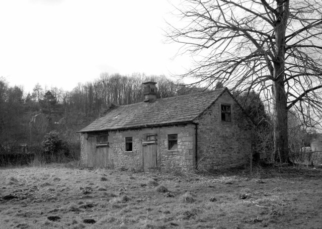
Cowden Plantations is a sprawling woodland area located in Derbyshire, England. Covering an expansive area, it is a popular destination for nature enthusiasts and outdoor adventurers alike. The plantation is nestled within the picturesque landscape of the Derbyshire countryside, providing visitors with a tranquil and serene atmosphere.

The woodland itself is predominantly composed of a variety of tree species, including oak, beech, and birch, creating a diverse and vibrant ecosystem. The dense canopy of trees provides ample shade, making it an ideal spot for leisurely walks or picnics on warm summer days.

Cowden Plantations is also home to an array of wildlife, offering visitors the opportunity to spot native species such as deer, squirrels, and various bird species. Birdwatchers will particularly enjoy the plantation's bird hide, which provides a secluded vantage point to observe and appreciate the local avian population.

For those seeking more adventurous activities, Cowden Plantations offers several well-maintained trails that cater to hikers and mountain bikers of all skill levels. The trails wind their way through the woodland, offering stunning views of the surrounding countryside and providing a chance to explore the plantation's various habitats.

The plantation is open to the public year-round, with designated parking areas and well-marked trails for ease of navigation. There are also ample facilities, including picnic areas and restrooms, ensuring visitors have a comfortable and enjoyable experience.

Whether one seeks a peaceful retreat into nature or an active outdoor adventure, Cowden Plantations in Derbyshire is a destination that offers something for everyone.

If you have any feedback on the listing, please let us know in the comments section below.

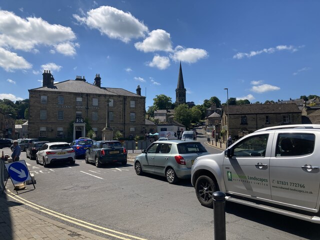
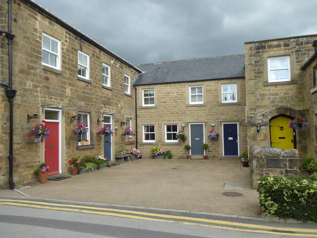
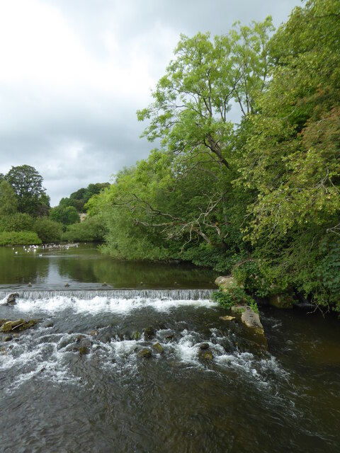
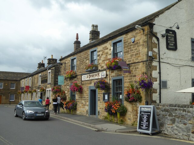
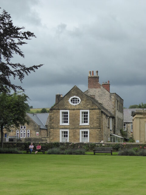
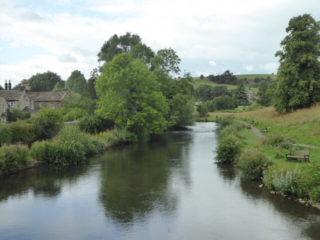
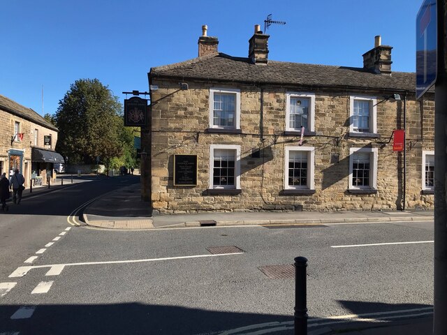
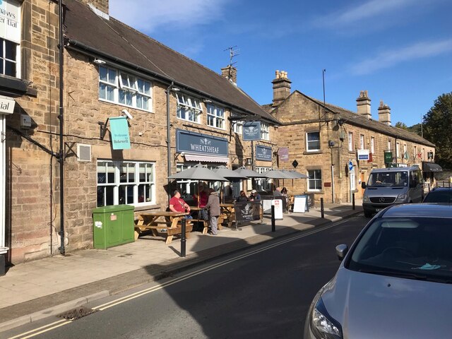
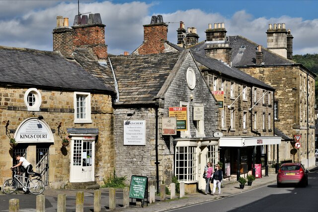
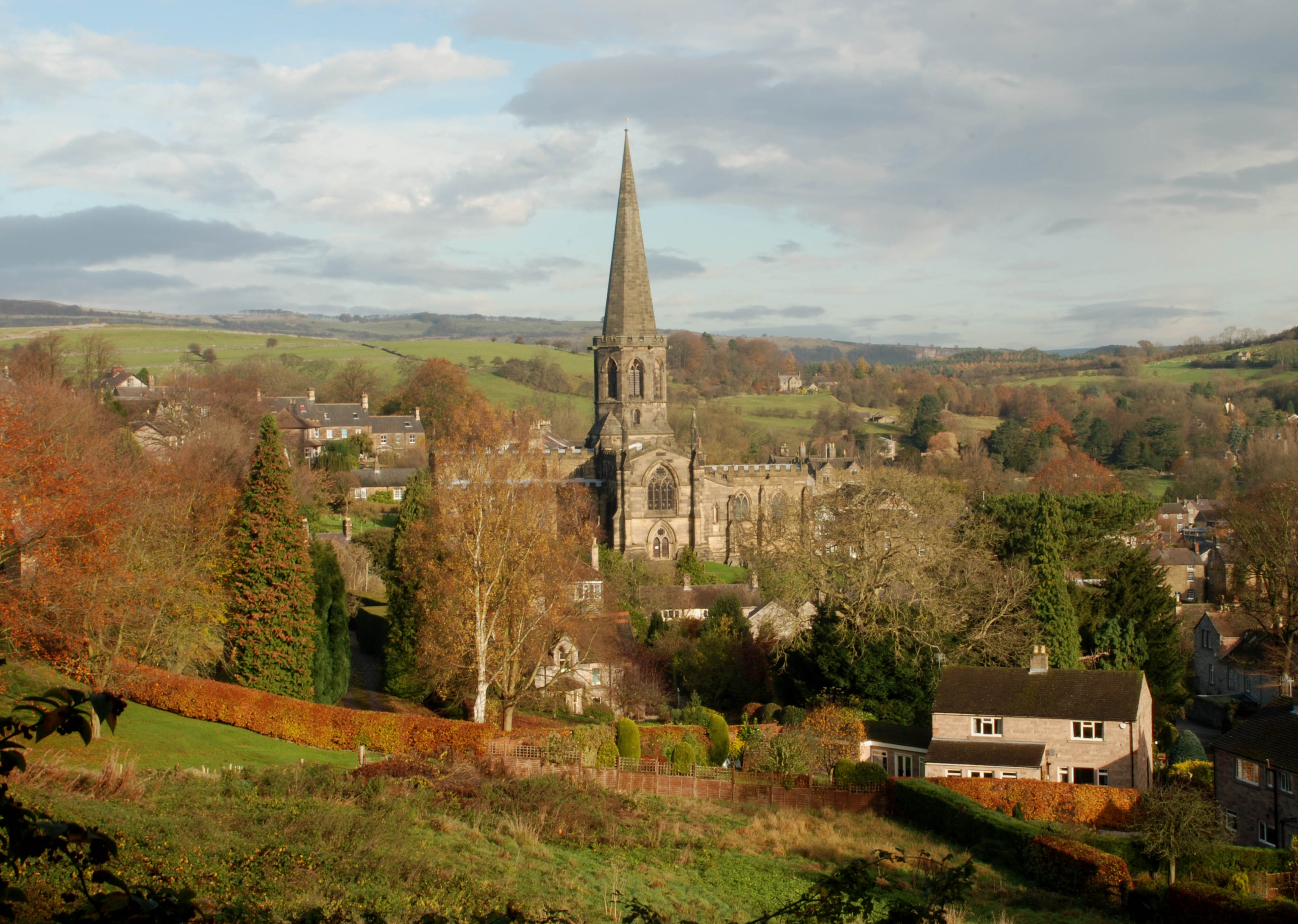
Cowden Plantations Images

Images are sourced within 2km of 53.207923/-1.6991787 or Grid Reference SK2067. Thanks to Geograph Open Source API. All images are credited.

Rutland Square, Bakewell The war memorial and Rutland Arms Hotel is seen in Rutland Square. A very successful 19th century coaching inn, the hotel building was constructed in 1804. The Grade I listed All Saints’ Church is seen in the background, parts of which date from the 12th century, although most of the structure was completely rebuilt in the mid-19th century.
Rutland Square, Bakewell
The war memorial and Rutland Arms Hotel is seen in Rutland Square. A very successful 19th century coaching inn, the hotel building was constructed in 1804. The Grade I listed All Saints’ Church is seen in the background, parts of which date from the 12th century, although most of the structure was completely rebuilt in the mid-19th century.
Houses in Rutland Mews Bakewell An attractive blend of old houses and a new building linking them together.
Houses in Rutland Mews Bakewell
An attractive blend of old houses and a new building linking them together.
Weir on the River Wye at Bakewell
The Peacock public house in Bakewell
House overlooking the bowling green in Bakewell
The River Wye upstream from the A619 in Bakewell
The sign of The Queens Arms See <a href="https://www.geograph.org.uk/photo/6984627">SK2168 : The Queens Arms</a>
The sign of The Queens Arms
The Queens Arms
The Queens Arms
The Wheatsheaf On Bridge Street, Bakewell.
The Wheatsheaf
On Bridge Street, Bakewell.
The sign of The Wheatsheaf See: <a href="https://www.geograph.org.uk/photo/6984633">SK2168 : The Wheatsheaf</a>.
The sign of The Wheatsheaf
The River Wye, Bakewell A weir seen from a footbridge with Bakewell Bridge in the background.
The River Wye, Bakewell
A weir seen from a footbridge with Bakewell Bridge in the background.
The River Wye seen from Bakewell Bridge The River Wye is a limestone river in the Peak District of Derbyshire. It is 15 miles in length, and is one of the major tributaries of the River Derwent, which flows into the River Trent.
The river rises on Axe Edge and flows east then south east to meet the Derwent near Rowsley. It has an impressive valley through Chee Dale and Monsal Dale.
The River Wye seen from Bakewell Bridge
The River Wye is a limestone river in the Peak District of Derbyshire. It is 15 miles in length, and is one of the major tributaries of the River Derwent, which flows into the River Trent. The river rises on Axe Edge and flows east then south east to meet the Derwent near Rowsley. It has an impressive valley through Chee Dale and Monsal Dale.
Bakewell Bridge Bakewell Bridge carries the A619 over the River Wye. It was originally constructed in the fourteenth century and was widemed in the nineteenth. It is a grade I listed structure.
Bakewell Bridge
Bakewell Bridge carries the A619 over the River Wye. It was originally constructed in the fourteenth century and was widemed in the nineteenth. It is a grade I listed structure.
Derelict barn, Scot's Garden, Bakewell
Bakewell: Grape Tree
Bakewell: Hawkridge Books window display
Bakewell, King Street
Show me another place!

Cowden Plantations is located at Grid Ref: SK2067 (Lat: 53.207923, Lng: -1.6991787)

Administrative County: Derbyshire

District: Derbyshire Dales

Police Authority: Derbyshire

What 3 Words

///irritated.broccoli.views. Near Bakewell, Derbyshire

Related Wikis

Lady Manners School

Lady Manners School is an English secondary school located in Bakewell, a market town in the Peak District National Park, Derbyshire. It was founded on...

St Anselm's School, Bakewell

S. Anselm's Preparatory School is a private school located in Bakewell, Derbyshire, in the heart of the Peak District. Founded in 1888. Winner of the Tatler...

Old House Museum, Bakewell

The Old House Museum in the town of Bakewell in Derbyshire is a typical 16th century yeoman's house that now houses a small museum with an exhibition of...

Over Haddon

Over Haddon is a small village and civil parish in Derbyshire, England. The population of the civil parish (including Nether Haddon) at the 2011 Census...

All Saints' Church, Bakewell

All Saints' Church, Bakewell, is the parish church of Bakewell, Derbyshire, England. It is a Grade I listed building. == The first church == The church...

Ashford Black Marble

Ashford Black Marble is the name given to a dark limestone, quarried from mines near Ashford-in-the-Water, in Derbyshire, England. Once cut, turned and...

Lumford Mill

Lumford Mill was a historic cotton mill at Bakewell in Derbyshire, England. In 1777, Richard Arkwright leased a stretch of land by the River Wye from Philip...

St Anne's Church, Over Haddon

St Anne's Church, Over Haddon is a Grade II listed parish church in the Church of England in Over Haddon, Derbyshire. == History == The church was built...

Nearby Amenities

Located within 500m of 53.207923,-1.6991787
Barrier: stile
Source: survey;gps
Stile: squeezer
Lat/Long: 53.2063332/-1.6951166
Barrier: stile
Material: stone
Source: survey;gps
Stile: stepover
Lat/Long: 53.2067801/-1.6925035
Barrier: stile
Source: survey;gps
Stile: stepover
Lat/Long: 53.2069894/-1.6924735
Barrier: stile
Material: stone
Source: survey;gps
Stile: stepover
Lat/Long: 53.2108017/-1.6966172
Barrier: stile
Material: stone
Source: survey;gps
Stile: stepover
Lat/Long: 53.207746/-1.6939416
Barrier: stile
Material: stone
Source: survey;gps
Stile: stepover
Lat/Long: 53.207859/-1.6941346
Barrier: stile
Material: stone
Source: survey;gps
Stile: stepover
Lat/Long: 53.2082839/-1.6944886
Barrier: stile
Material: stone
Source: survey;gps
Stile: stepover
Lat/Long: 53.2087485/-1.6946435
Barrier: stile
Material: stone
Source: survey;gps
Stile: stepover
Lat/Long: 53.2089913/-1.695175
Barrier: stile
Material: stone
Source: survey;gps
Stile: stepover
Lat/Long: 53.2095423/-1.6958386
Barrier: stile
Material: stone
Source: survey;gps
Stile: stepover
Lat/Long: 53.2099325/-1.6960925
Barrier: stile
Material: stone
Source: survey;gps
Stile: stepover
Lat/Long: 53.2101422/-1.6962954
Barrier: stile
Material: stone
Source: survey;gps
Stile: stepover
Lat/Long: 53.2104436/-1.6965029
The data included in this document is from www.openstreetmap.org. The data is made available under ODbL.

Have you been to Cowden Plantations?

Leave your review of Cowden Plantations below (or comments, questions and feedback).