Upper High Fields
Downs, Moorland in Yorkshire
England
Upper High Fields

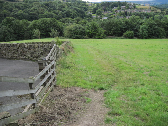
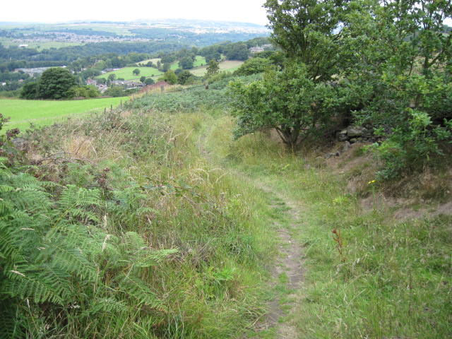
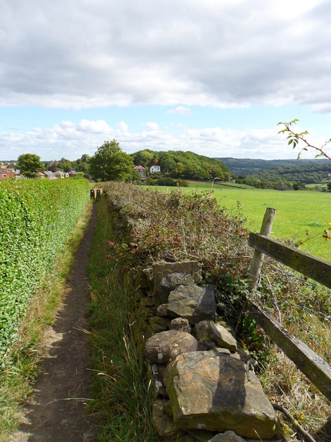
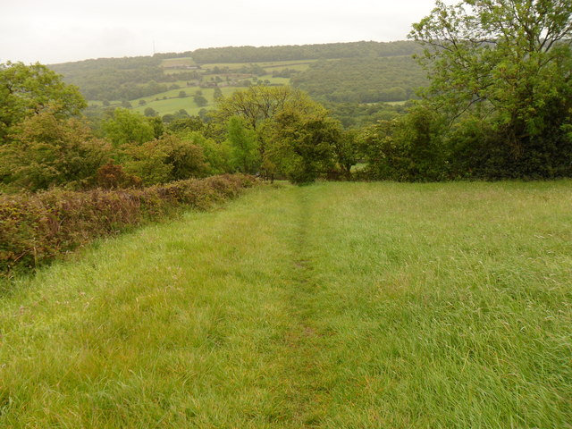
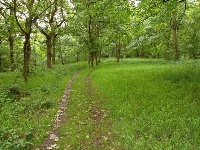
Upper High Fields is a charming countryside area located in the picturesque region of Yorkshire, England. Nestled amidst the stunning Yorkshire Downs and Moorland, this idyllic location offers residents and visitors a perfect blend of natural beauty and rural tranquility.
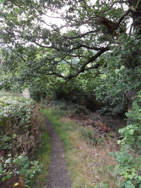
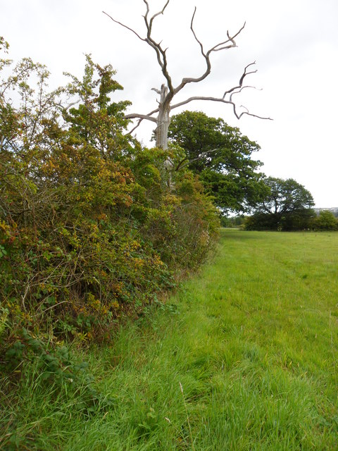
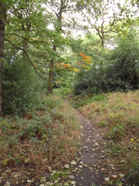
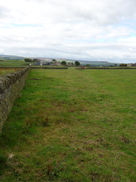
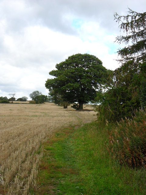
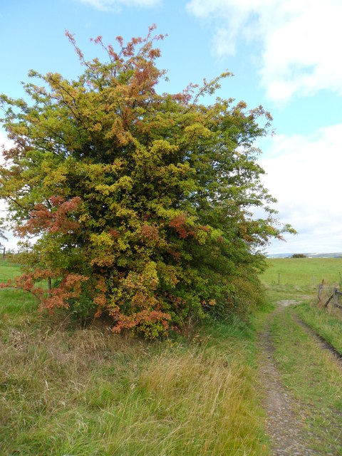
The area boasts expansive rolling hills and lush green fields, providing breathtaking panoramic views of the surrounding landscape. The Yorkshire Downs, with their gently sloping hills, offer ample opportunities for outdoor activities such as hiking, cycling, and horseback riding. The Moorland, on the other hand, showcases a more rugged terrain with its heather-clad hills and peat bogs, attracting nature enthusiasts and birdwatchers alike.
Upper High Fields is dotted with traditional stone-built cottages and farmhouses, adding to the area's rustic charm. The tight-knit community fosters a warm and welcoming atmosphere, and residents take pride in their close-knit relationships and strong community spirit.
The nearby market town of Yorkshire Downs serves as a hub for amenities and services. Here, residents can find a range of shops, restaurants, and local businesses. The town also hosts a weekly market, where locals and visitors can purchase fresh produce, artisanal goods, and crafts.
Thanks to its rural location, Upper High Fields offers a peaceful and serene lifestyle away from the hustle and bustle of city living. The area is well-connected to neighboring towns and cities via a network of roads and public transportation, ensuring easy access to urban amenities when needed.
In summary, Upper High Fields, Yorkshire (Downs, Moorland) provides a breathtaking countryside experience with its stunning natural landscapes, traditional architecture, and strong sense of community. It is a haven for nature lovers and those seeking a tranquil lifestyle amidst the beauty of rural Yorkshire.
If you have any feedback on the listing, please let us know in the comments section below.
Upper High Fields Images
Images are sourced within 2km of 53.615496/-1.7479592 or Grid Reference SE1613. Thanks to Geograph Open Source API. All images are credited.


Upper High Fields is located at Grid Ref: SE1613 (Lat: 53.615496, Lng: -1.7479592)
Division: West Riding
Unitary Authority: Kirklees
Police Authority: West Yorkshire
What 3 Words
///adapt.neat.encloses. Near Kirkburton, West Yorkshire
Nearby Locations
Related Wikis

Farnley Tyas
Farnley Tyas is a village in the parish of Kirkburton, in the Kirklees district, in the county of West Yorkshire, England 3 miles (4.8 km) south east of...

South Pennines
The South Pennines is a region of moorland and hill country in northern England lying towards the southern end of the Pennines. In the west it includes...

Storthes Hall
Storthes Hall is part of the civil parish of Kirkburton in West Yorkshire, England. A heavily wooded area, it comprises a single road, Storthes Hall Lane...
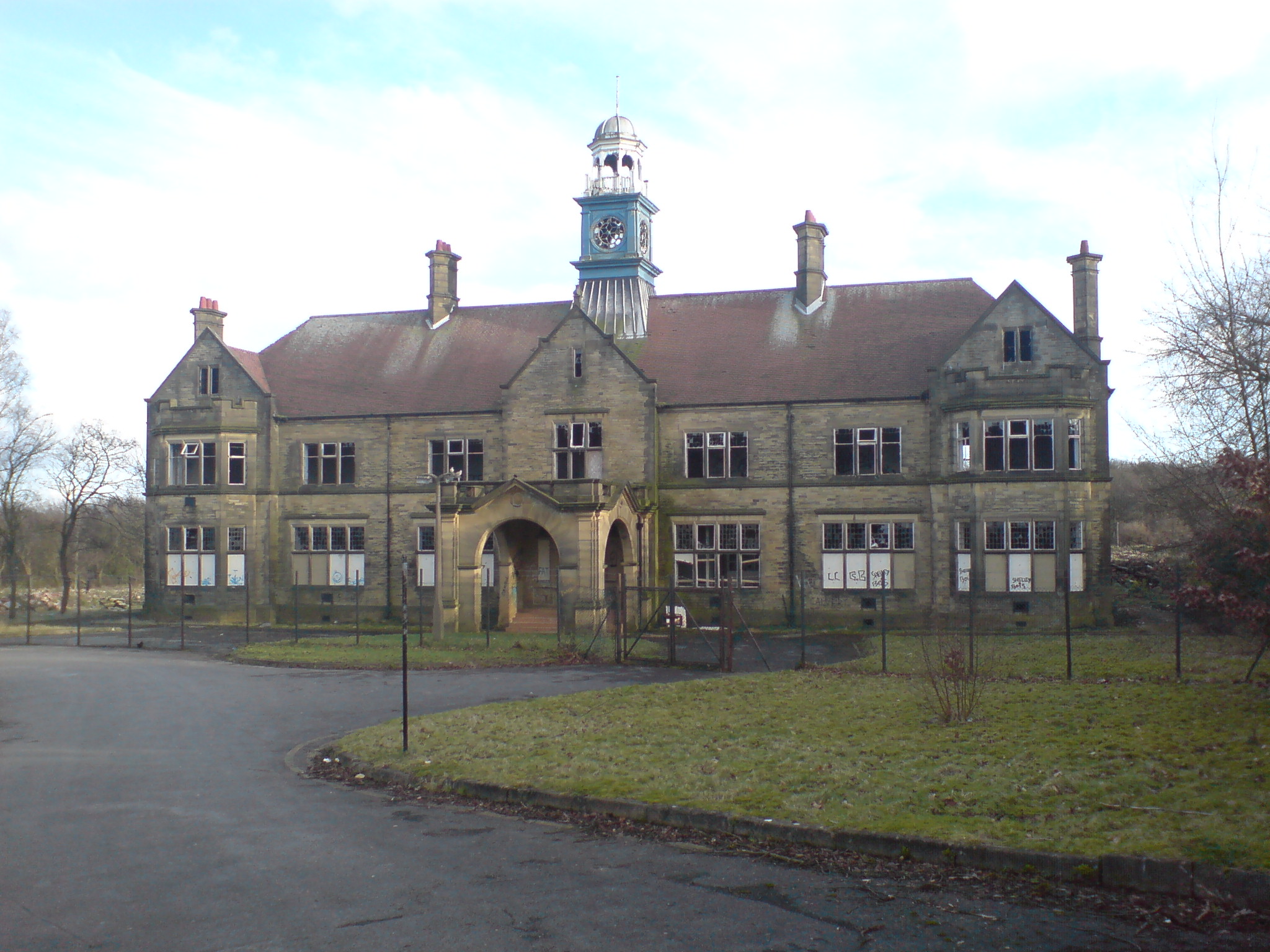
Storthes Hall Hospital
Storthes Hall Hospital was a mental health facility at Storthes Hall, Huddersfield, West Yorkshire, England. Founded in 1904, it expanded to over 3,000...

King James's School, Almondbury
King James's School is a coeducational secondary school located in Almondbury in the English county of West Yorkshire. == History == King James's Grammar...
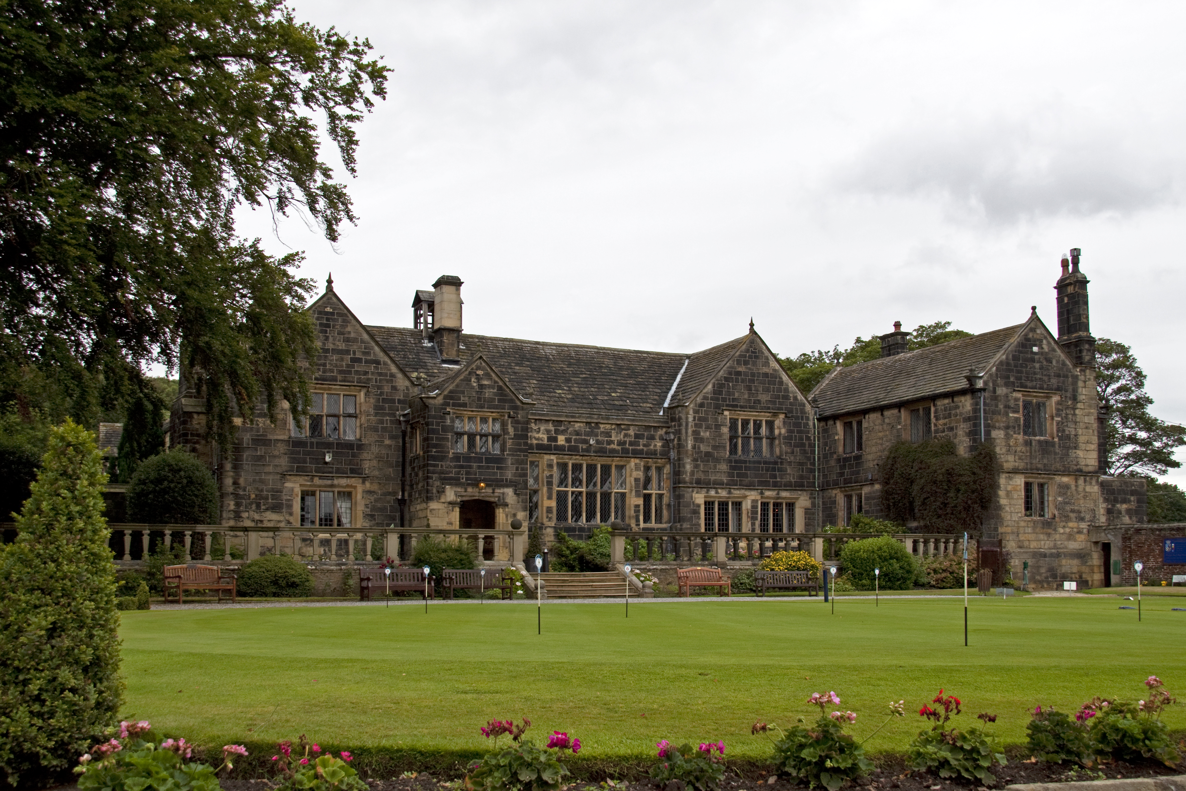
Woodsome Hall
Woodsome Hall is a 16th-century country house in the parish of Almondbury, near Huddersfield, West Yorkshire, England. It is now the clubhouse of Woodsome...
Castle Hill, Huddersfield
Castle Hill is a scheduled ancient monument in Almondbury overlooking Huddersfield in the Metropolitan Borough of Kirklees, West Yorkshire, England. The...
Huddersfield Town F.C. Women
Huddersfield Town Women Football Club is an English women's football club based in Huddersfield, West Yorkshire. The team play their homes matches at the...
Nearby Amenities
Located within 500m of 53.615496,-1.7479592Have you been to Upper High Fields?
Leave your review of Upper High Fields below (or comments, questions and feedback).