Royd House Wood
Wood, Forest in Yorkshire
England
Royd House Wood

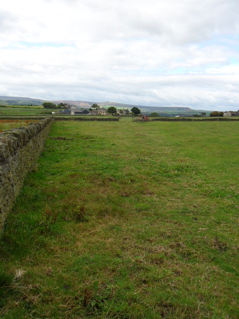
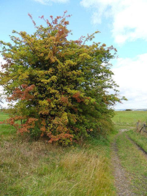
Royd House Wood is a picturesque woodland located in the county of Yorkshire, England. Spanning over an area of approximately 100 acres, it is a popular destination for nature enthusiasts and those seeking tranquility amidst lush greenery. The wood is situated near the village of Royd, nestled within the beautiful Yorkshire countryside.
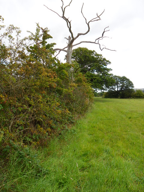
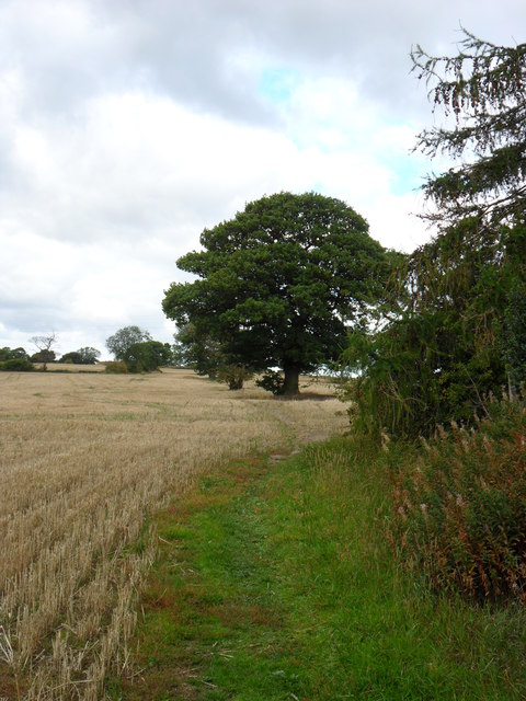
The woodland is predominantly composed of native broadleaf trees, including oak, beech, and ash, which create a diverse and vibrant ecosystem. These trees provide a home to a variety of wildlife species, such as deer, squirrels, and numerous bird species, making it an ideal location for birdwatching and wildlife spotting.
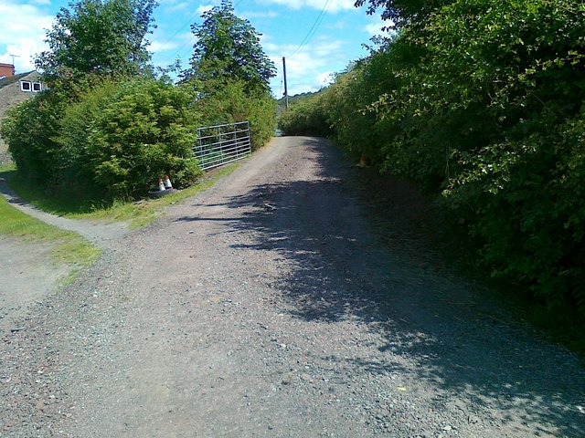
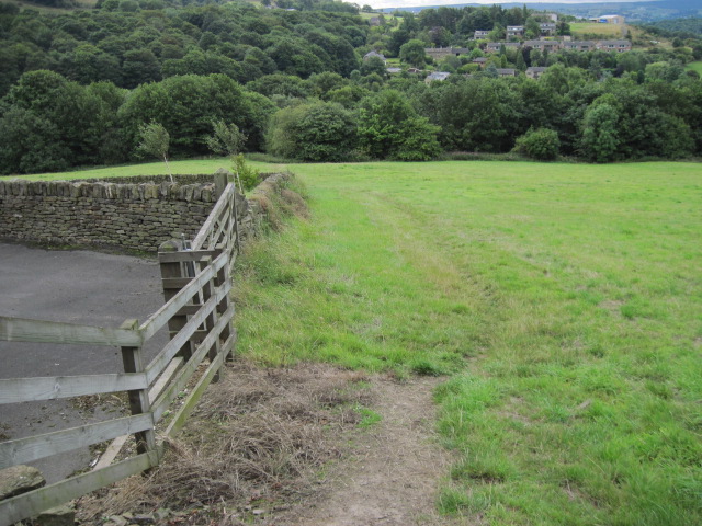
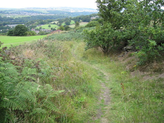
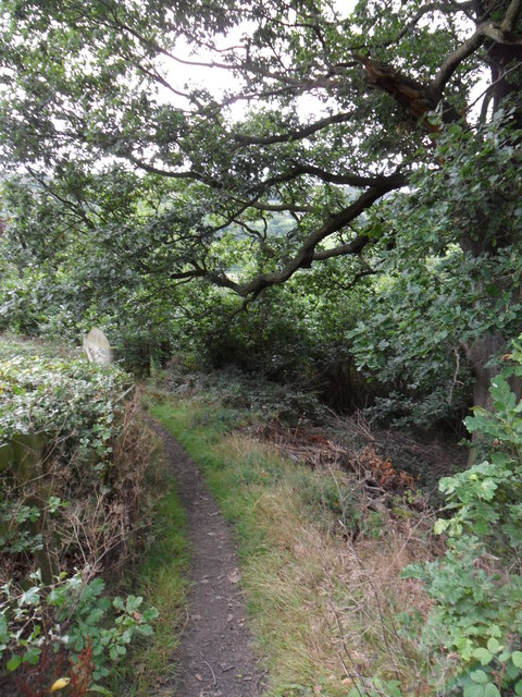
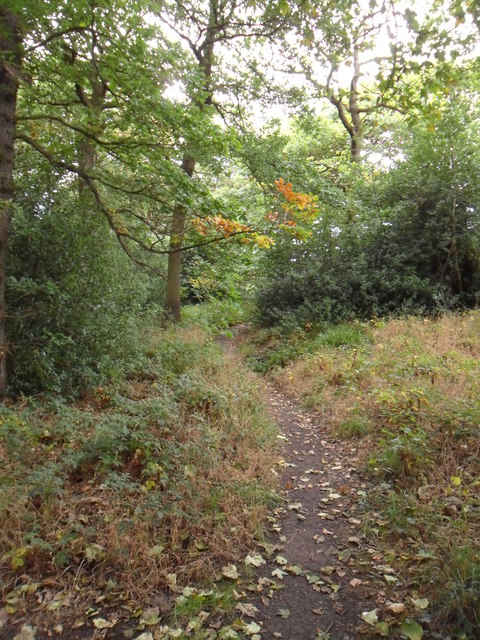
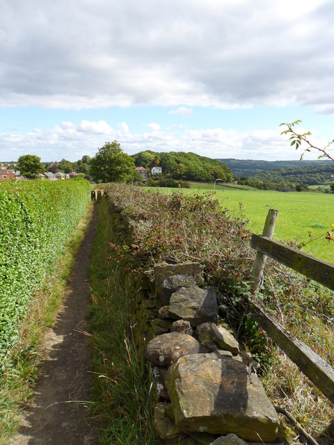
Royd House Wood offers a network of well-maintained walking trails, allowing visitors to explore the area at their own pace. The trails wind through the wood, leading visitors to hidden gems such as a babbling brook and a small pond, adding to the charm and serenity of the surroundings.
The wood is also renowned for its vibrant display of wildflowers during spring and summer. Bluebells, primroses, and wood anemones carpet the forest floor, creating a breathtaking spectacle of colors. This seasonal display attracts photographers and nature enthusiasts from far and wide.
Royd House Wood is managed by a local conservation organization, ensuring the preservation and enhancement of its natural beauty. The wood provides a peaceful retreat for visitors, offering a respite from the hustle and bustle of everyday life. Whether it's a leisurely walk, birdwatching, or simply enjoying the tranquility of nature, Royd House Wood promises an unforgettable experience for all who visit.
If you have any feedback on the listing, please let us know in the comments section below.
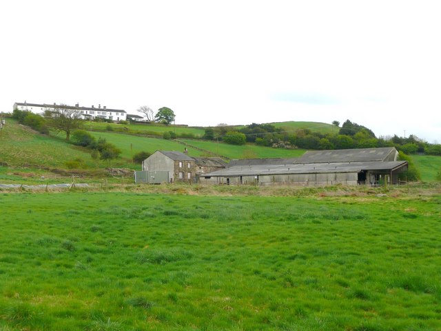
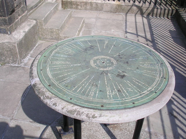
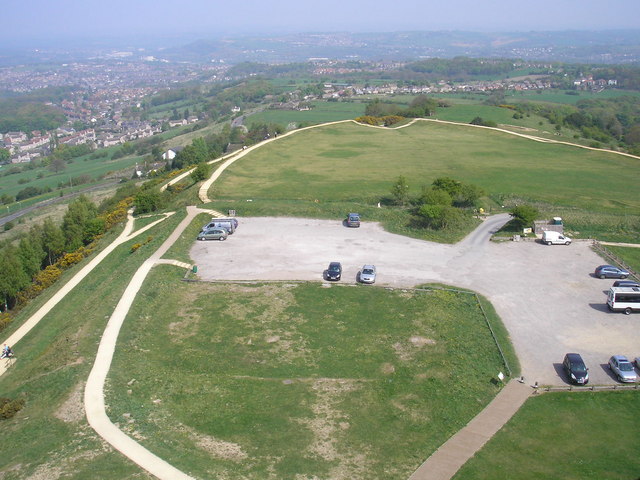
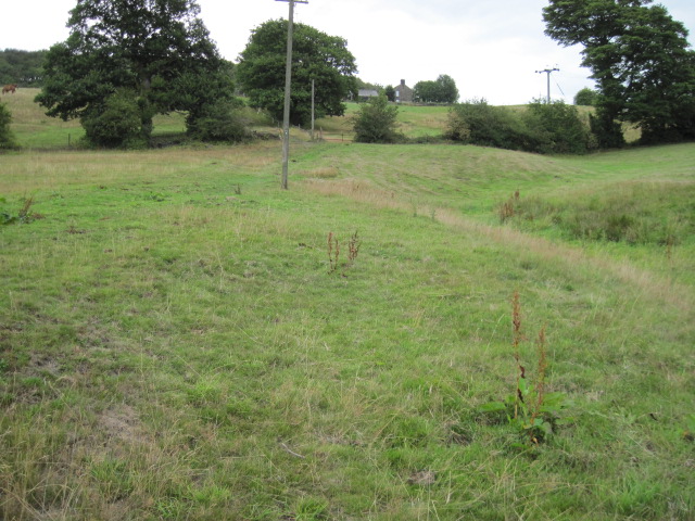
Royd House Wood Images
Images are sourced within 2km of 53.616123/-1.7554683 or Grid Reference SE1613. Thanks to Geograph Open Source API. All images are credited.


Royd House Wood is located at Grid Ref: SE1613 (Lat: 53.616123, Lng: -1.7554683)
Division: West Riding
Unitary Authority: Kirklees
Police Authority: West Yorkshire
What 3 Words
///danger.port.hatch. Near Kirkburton, West Yorkshire
Nearby Locations
Related Wikis

Farnley Tyas
Farnley Tyas is a village in the parish of Kirkburton, in the Kirklees district, in the county of West Yorkshire, England 3 miles (4.8 km) south east of...

South Pennines
The South Pennines is a region of moorland and hill country in northern England lying towards the southern end of the Pennines. In the west it includes...

Castle Hill, Huddersfield
Castle Hill is a scheduled ancient monument in Almondbury overlooking Huddersfield in the Metropolitan Borough of Kirklees, West Yorkshire, England. The...
Hall Bower
Hall Bower is a small hamlet lying 2 miles (3.5 km) south of Huddersfield, West Yorkshire, England.It sits in the shadow of Castle Hill, just above the...
King James's School, Almondbury
King James's School is a coeducational secondary school located in Almondbury in the English county of West Yorkshire. == History == King James's Grammar...

Berry Brow
Berry Brow is a semi-rural village in West Yorkshire, England, situated about 2 miles (3 km) south of Huddersfield. It lies on the eastern bank of the...

Storthes Hall
Storthes Hall is part of the civil parish of Kirkburton in West Yorkshire, England. A heavily wooded area, it comprises a single road, Storthes Hall Lane...
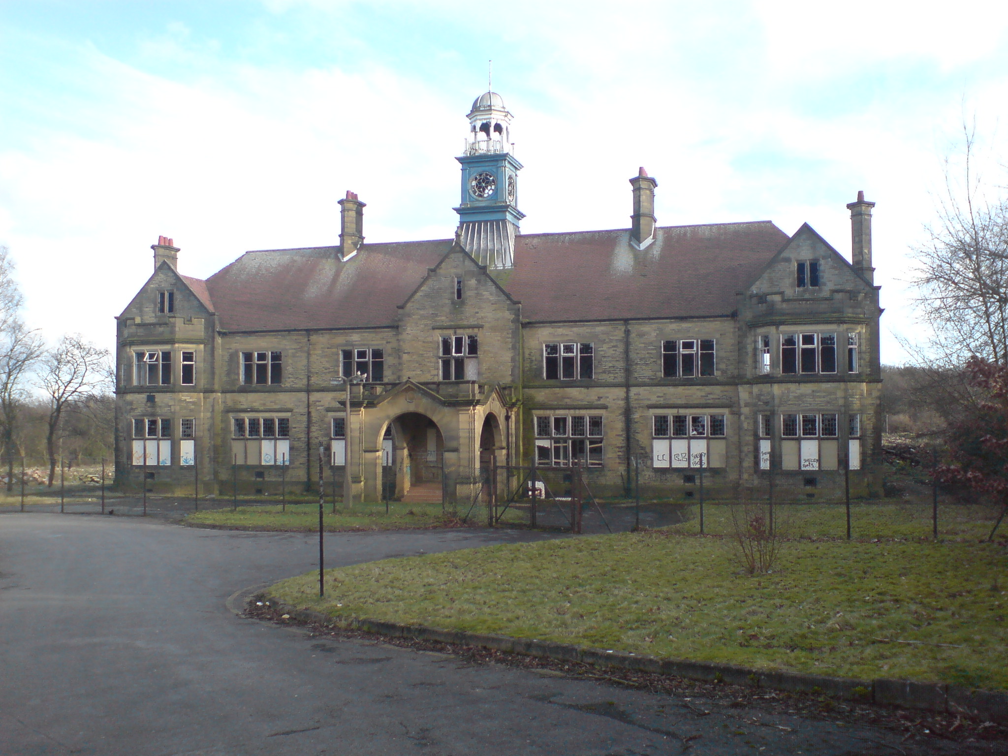
Storthes Hall Hospital
Storthes Hall Hospital was a mental health facility at Storthes Hall, Huddersfield, West Yorkshire, England. Founded in 1904, it expanded to over 3,000...
Nearby Amenities
Located within 500m of 53.616123,-1.7554683Have you been to Royd House Wood?
Leave your review of Royd House Wood below (or comments, questions and feedback).