Shrogg Wood
Wood, Forest in Yorkshire
England
Shrogg Wood

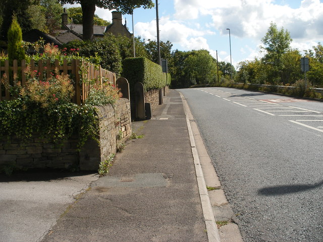
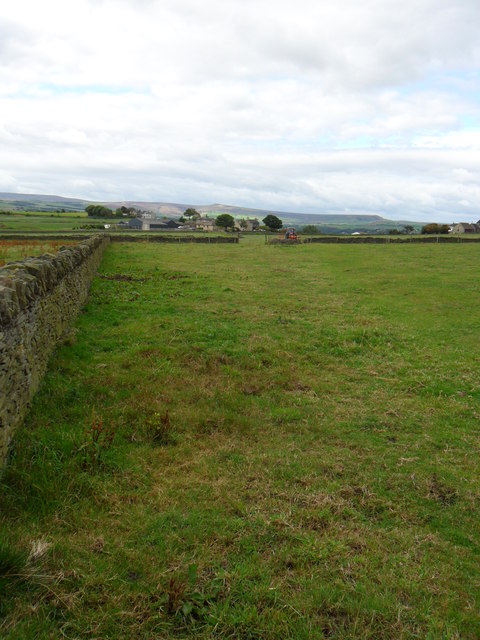
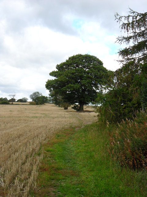
Shrogg Wood, located in Yorkshire, England, is a picturesque woodland that covers a vast area of approximately 100 acres. This ancient forest is known for its stunning natural beauty and rich biodiversity, attracting nature enthusiasts and hikers alike.
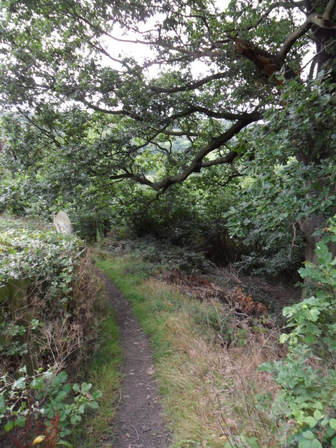
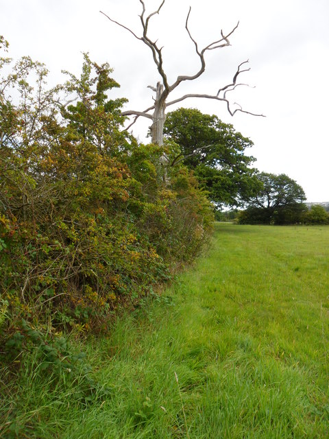
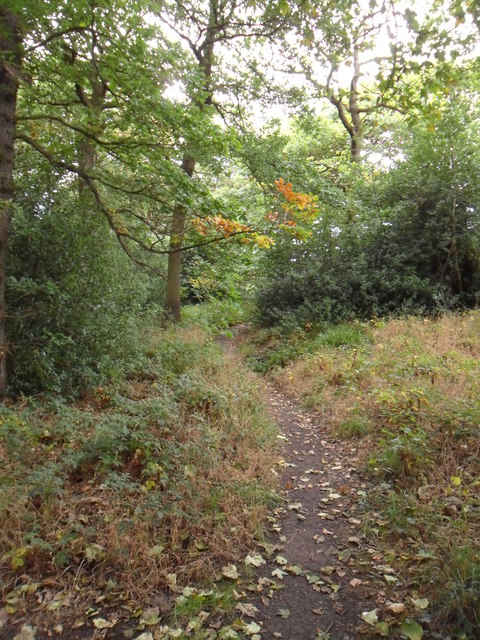
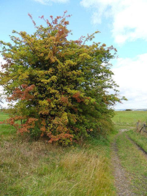
The wood is primarily composed of a diverse mix of deciduous and coniferous trees, including oak, beech, pine, and spruce. These towering trees create a dense canopy, providing a cool and tranquil atmosphere within the wood. The forest floor is covered with a thick layer of moss and ferns, adding to its enchanting charm.
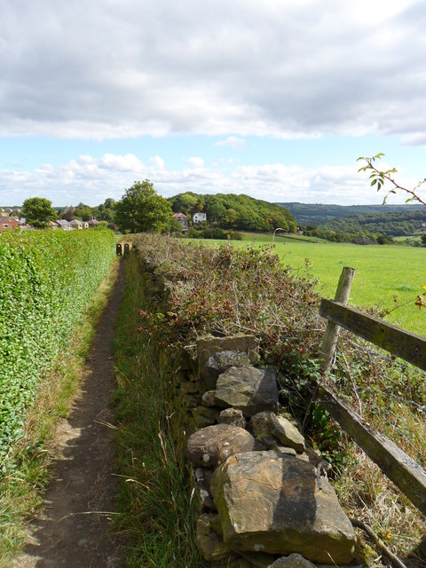
As visitors explore Shrogg Wood, they will come across a network of well-maintained trails that wind through the forest. These paths offer a variety of routes, catering to different levels of difficulty and allowing visitors to fully immerse themselves in the woodland experience. Along the way, one can expect to encounter an array of wildlife, such as deer, rabbits, squirrels, and a wide variety of bird species.
Shrogg Wood is also home to a small lake, nestled deep within its heart. The tranquil waters provide a serene spot for visitors to rest and take in the beauty of their surroundings. Fishing is permitted in the lake, making it a popular spot for anglers to try their luck.
Overall, Shrogg Wood is a captivating destination for nature lovers, offering a peaceful and idyllic retreat from the hustle and bustle of everyday life. Its ancient trees, diverse wildlife, and scenic trails make it a must-visit location for anyone seeking a genuine woodland experience in Yorkshire.
If you have any feedback on the listing, please let us know in the comments section below.
Shrogg Wood Images
Images are sourced within 2km of 53.622043/-1.7454559 or Grid Reference SE1613. Thanks to Geograph Open Source API. All images are credited.


Shrogg Wood is located at Grid Ref: SE1613 (Lat: 53.622043, Lng: -1.7454559)
Division: West Riding
Unitary Authority: Kirklees
Police Authority: West Yorkshire
What 3 Words
///satellite.newsstand.safety. Near Kirkburton, West Yorkshire
Nearby Locations
Related Wikis

South Pennines
The South Pennines is a region of moorland and hill country in northern England lying towards the southern end of the Pennines. In the west it includes...

King James's School, Almondbury
King James's School is a coeducational secondary school located in Almondbury in the English county of West Yorkshire. == History == King James's Grammar...
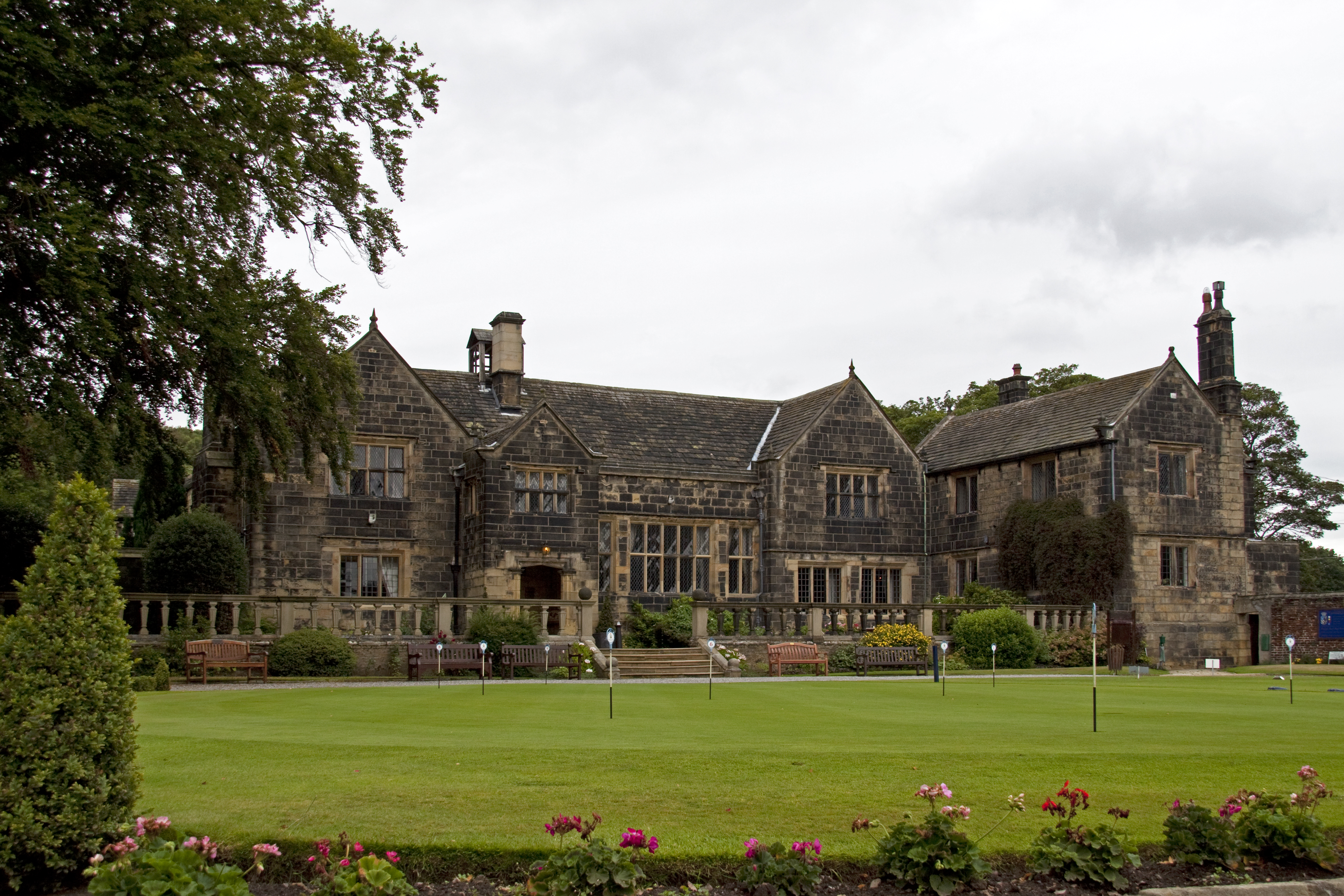
Woodsome Hall
Woodsome Hall is a 16th-century country house in the parish of Almondbury, near Huddersfield, West Yorkshire, England. It is now the clubhouse of Woodsome...

Farnley Tyas
Farnley Tyas is a village in the parish of Kirkburton, in the Kirklees district, in the county of West Yorkshire, England 3 miles (4.8 km) south east of...

Almondbury
Almondbury (English: ) is a village 2 miles (3.2 km) south-east of Huddersfield town centre in West Yorkshire, England. The population of Almondbury in...

Storthes Hall
Storthes Hall is part of the civil parish of Kirkburton in West Yorkshire, England. A heavily wooded area, it comprises a single road, Storthes Hall Lane...
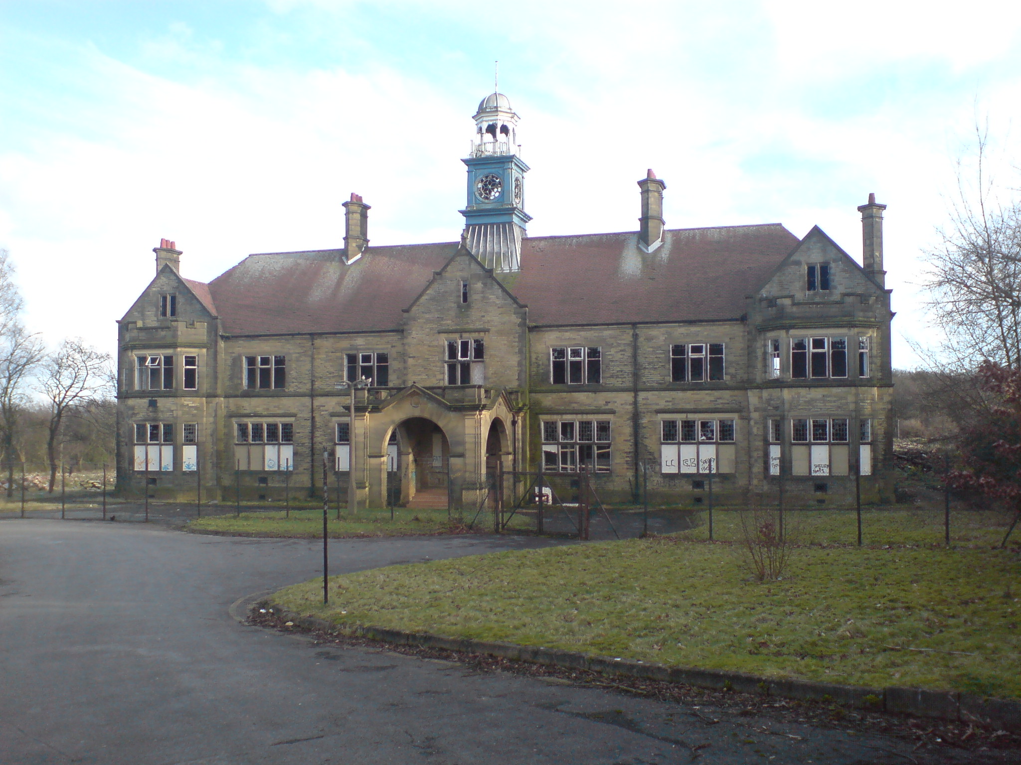
Storthes Hall Hospital
Storthes Hall Hospital was a mental health facility at Storthes Hall, Huddersfield, West Yorkshire, England. Founded in 1904, it expanded to over 3,000...
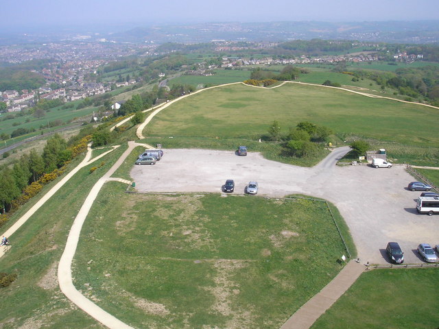
Castle Hill, Huddersfield
Castle Hill is a scheduled ancient monument in Almondbury overlooking Huddersfield in the Metropolitan Borough of Kirklees, West Yorkshire, England. The...
Nearby Amenities
Located within 500m of 53.622043,-1.7454559Have you been to Shrogg Wood?
Leave your review of Shrogg Wood below (or comments, questions and feedback).