Farnley Bank

Settlement in Yorkshire

England

Farnley Bank

Height Green A farmhouse between Thurstonland and Farnley Tyas.
Height Green Credit: John Illingworth

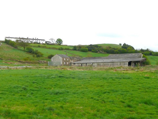
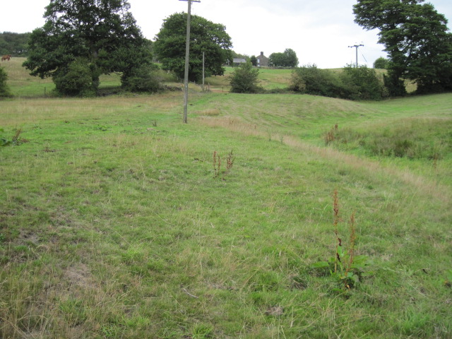
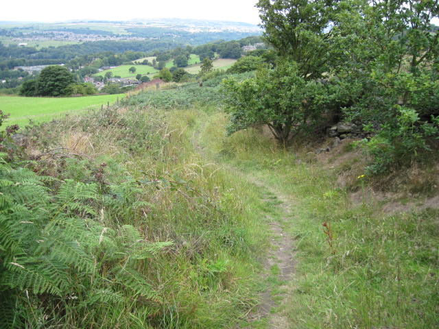
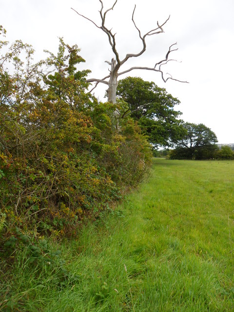
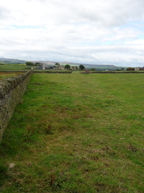
Farnley Bank is a small village located in the county of Yorkshire, England. Nestled in the picturesque countryside, it is situated about 5 miles southwest of the city of Leeds and is part of the Leeds City Council area. The village is known for its idyllic setting, surrounded by rolling hills and lush green fields.

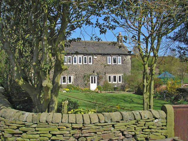
Farnley Bank is primarily a residential area, with a population of approximately 500 people. The village retains its rural charm, with a mix of traditional stone cottages and more modern houses. The community is tight-knit, and residents often take pride in maintaining their properties and the village's overall appearance.

Despite its small size, Farnley Bank offers some amenities to its residents. There is a local village hall, which serves as a hub for various community activities and events. Additionally, there is a small convenience store that caters to the daily needs of the villagers.

The village benefits from its proximity to Leeds, providing residents with easy access to a wider range of services and facilities, including schools, hospitals, and shopping centers. Commuting to the city is also convenient, with regular bus services connecting Farnley Bank to Leeds and other nearby towns.

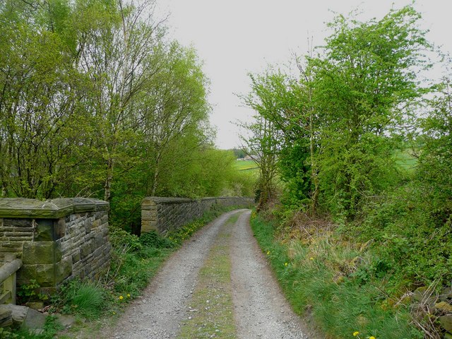
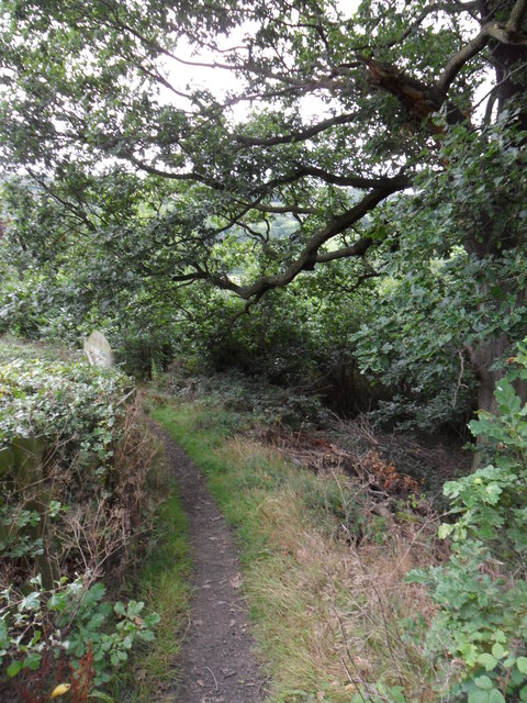
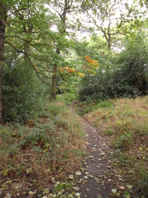
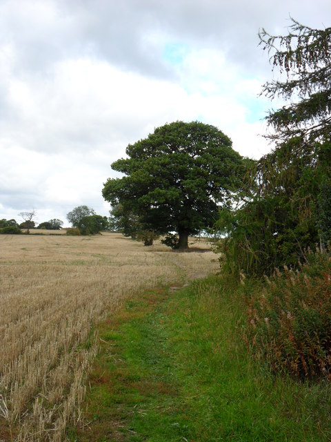
Nature enthusiasts can take advantage of the beautiful surroundings by exploring the numerous walking trails and nature reserves in the area. Farnley Bank is particularly renowned for its scenic views and is a popular destination for hikers and outdoor enthusiasts.

Overall, Farnley Bank offers a peaceful and picturesque rural lifestyle, making it an attractive place to live for those seeking a serene countryside setting while still having access to urban amenities.

If you have any feedback on the listing, please let us know in the comments section below.
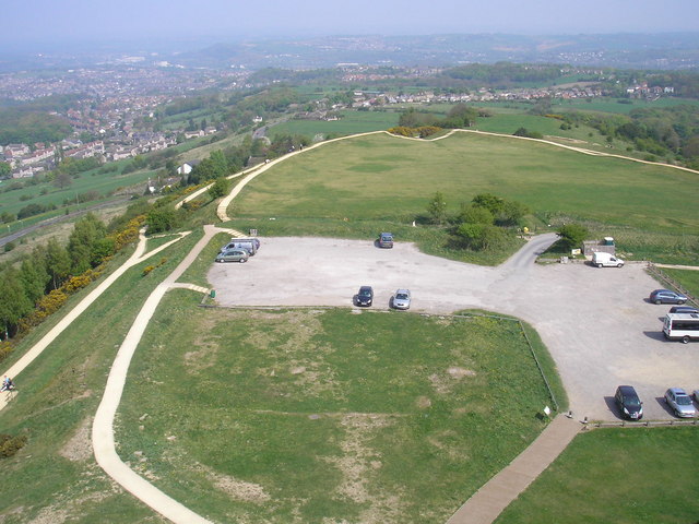
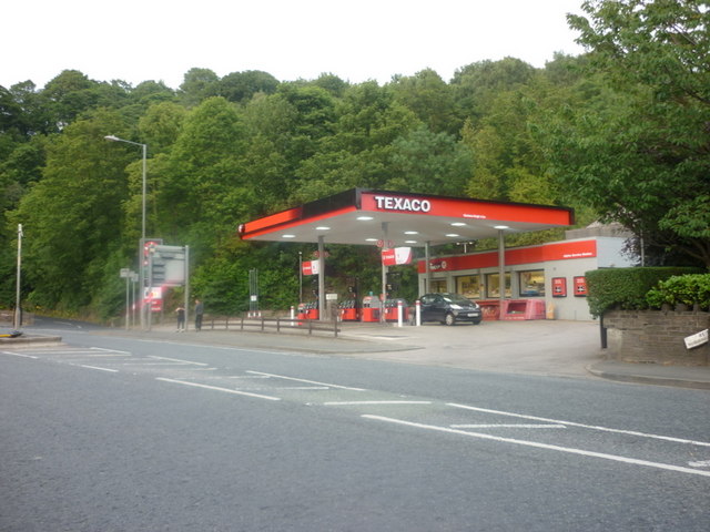
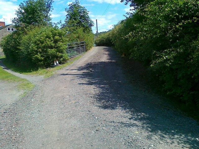
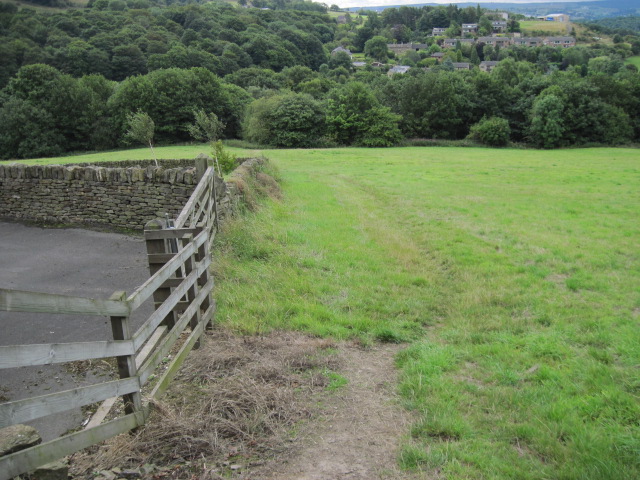
Farnley Bank Images

Images are sourced within 2km of 53.613309/-1.7596262 or Grid Reference SE1613. Thanks to Geograph Open Source API. All images are credited.

Height Green A farmhouse between Thurstonland and Farnley Tyas.
Height Green
A farmhouse between Thurstonland and Farnley Tyas.
St Lucius, Farnley Tyas The church was completed in 1840.
St Lucius, Farnley Tyas
The church was completed in 1840.
Cliffe Lane A walled lane out of Farnley Tyas.
Cliffe Lane
A walled lane out of Farnley Tyas.
Cold Hill Lane, Almondbury The wall on the left surrounds an area that once contained a circular reservoir belonging to Huddersfield County Borough (maybe the structure is still in there).
Cold Hill Lane, Almondbury
The wall on the left surrounds an area that once contained a circular reservoir belonging to Huddersfield County Borough (maybe the structure is still in there).
Stirley Farm, Almondbury This farm looks disused, or at least the house is boarded up.
Stirley Farm, Almondbury
This farm looks disused, or at least the house is boarded up.
Direction indicator on Jubilee Tower Taken on one of the occasions when the tower was open to the public.
Direction indicator on Jubilee Tower
Taken on one of the occasions when the tower was open to the public.
Castle Hill car park Taken from the top of Jubilee Tower when it was open to the public.
Castle Hill car park
Taken from the top of Jubilee Tower when it was open to the public.
A Texaco garage on Huddersfield Road
Access road to Lower Common Farm
Footpath near High Royd Farm
Footpath From Hall Ing Lane
Footpath on Ludhill Lane
Lumb Dike near Almondbury Lumb Dike from footbridge, North-East of Molly Carr Wood.
Lumb Dike near Almondbury
Lumb Dike from footbridge, North-East of Molly Carr Wood.
Footpath, Wheat Royd, Almondbury. Footpath leading from Wheat Royd to Lumb Lane.  A grand old oak tree overhangs the path just here.
Footpath, Wheat Royd, Almondbury.
Footpath leading from Wheat Royd to Lumb Lane. A grand old oak tree overhangs the path just here.
Autumn hedgerow near Molly Carr Wood Field-edge path just north of Molly Carr Wood.
Autumn hedgerow near Molly Carr Wood
Field-edge path just north of Molly Carr Wood.
Molly Carr Wood Footpath on the western edge of Molly Carr Wood.
Molly Carr Wood
Footpath on the western edge of Molly Carr Wood.
Farmland just south-west of Castle Hill Looking south-west along field path towards Castle Houses.
Farmland just south-west of Castle Hill
Looking south-west along field path towards Castle Houses.
Oak Tree, Farnley Hey. Looking along field path to a grand lone oak tree.  The path leads from Farnley Hey towards Castle Houses.
Oak Tree, Farnley Hey.
Looking along field path to a grand lone oak tree. The path leads from Farnley Hey towards Castle Houses.
Show me another place!

Farnley Bank is located at Grid Ref: SE1613 (Lat: 53.613309, Lng: -1.7596262)

Division: West Riding

Unitary Authority: Kirklees

Police Authority: West Yorkshire

What 3 Words

///noon.blocks.tribe. Near Kirkburton, West Yorkshire

Related Wikis

Farnley Tyas

Farnley Tyas is a village in the parish of Kirkburton, in the Kirklees district, in the county of West Yorkshire, England 3 miles (4.8 km) south east of...

Castle Hill, Huddersfield

Castle Hill is a scheduled ancient monument in Almondbury overlooking Huddersfield in the Metropolitan Borough of Kirklees, West Yorkshire, England. The...

South Pennines

The South Pennines is a region of moorland and hill country in northern England lying towards the southern end of the Pennines. In the west it includes...

Honley railway station

Honley railway station serves the village of Honley in the Holme Valley of West Yorkshire, England. Honley station lies approximately 3 miles (4.8 km)...

Hall Bower

Hall Bower is a small hamlet lying 2 miles (3.5 km) south of Huddersfield, West Yorkshire, England.It sits in the shadow of Castle Hill, just above the...

Berry Brow

Berry Brow is a semi-rural village in West Yorkshire, England, situated about 2 miles (3 km) south of Huddersfield. It lies on the eastern bank of the...

Honley High School

Honley High School is a coeducational secondary school situated on the edge of the village of Honley in the Holme Valley, West Yorkshire, England. The...

Brockholes railway station

Brockholes railway station serves the village of Brockholes, near Huddersfield in West Yorkshire. It lies 4.25 miles (7 km) away from Huddersfield on the...

Nearby Amenities

Located within 500m of 53.613309,-1.7596262
Bus Stop
Hey Lane Butts Road
Local Ref: 45018735
Naptan AtcoCode: 450018735
Naptan Bearing: E
Naptan CommonName: Hey Lane Butts Road
Naptan Crossing: Adj Butts Road
Naptan Indicator: Stop 45018735
Naptan Landmark: Adj Glen Farm Lane
Naptan PlusbusZoneRef: LEEDS
Naptan ShortCommonName: Ray Gate Cottage
Naptan Street: Honley Road
Naptan Verified: no
Source: naptan_import
Lat/Long: 53.6109402/-1.7584162
Bus Stop
Hey Lane Butts Road
Local Ref: 45018736
Naptan AtcoCode: 450018736
Naptan Bearing: W
Naptan CommonName: Hey Lane Butts Road
Naptan Crossing: Butts Road
Naptan Indicator: Stop 45018736
Naptan Landmark: Farnley Tyas CE Primary School
Naptan PlusbusZoneRef: LEEDS
Naptan ShortCommonName: Butts Road
Naptan Street: Honley Road
Naptan Verified: no
Source: naptan_import
Lat/Long: 53.6107698/-1.754185
Farnley Tyas
Local Ref: 45050675
Naptan AtcoCode: 450050675
Naptan Bearing: W
Naptan BusStopType: CUS
Naptan CommonName: Farnley Tyas
Naptan Indicator: Stop 45050675
Naptan PlusbusZoneRef: LEEDS
Naptan ShortCommonName: Ray Gate Cottage
Naptan Street: Hey Lane
Naptan Verified: no
Source: naptan_import
Lat/Long: 53.6108684/-1.758462
Bus Stop
Hey Lane School
Local Ref: 45050676
Naptan AtcoCode: 450050676
Naptan Bearing: E
Naptan BusStopType: CUS
Naptan CommonName: Hey Lane School
Naptan Indicator: Stop 45050676
Naptan PlusbusZoneRef: LEEDS
Naptan ShortCommonName: Butts Road
Naptan Street: Hey Lane
Naptan Verified: no
Source: naptan_import
Lat/Long: 53.6108507/-1.7541997
Power: pole
Lat/Long: 53.6151506/-1.7657872
Power: pole
Lat/Long: 53.6160212/-1.7637338
Power: pole
Lat/Long: 53.6169387/-1.7615519
Power: pole
Lat/Long: 53.6100938/-1.7644186
Power: pole
Lat/Long: 53.6106627/-1.7650639
Power: pole
Lat/Long: 53.6112333/-1.7657214
Power: pole
Lat/Long: 53.6118004/-1.7657457
Power: pole
Lat/Long: 53.61238/-1.7657457
Power: pole
Lat/Long: 53.6130608/-1.765764
Power: pole
Lat/Long: 53.6140413/-1.7657975
Power: pole
Lat/Long: 53.6150182/-1.7658584
Barrier: kissing_gate
Lat/Long: 53.6104062/-1.7543535
Barrier: kissing_gate
Lat/Long: 53.6126303/-1.7582401
Generator Method: photovoltaic
Generator Output Electricity: yes
Generator Source: solar
Generator Type: solar_photovoltaic_panel
Location: roof
Power: generator
Lat/Long: 53.6092965/-1.7566549
Barrier: stile
Lat/Long: 53.6108092/-1.7582343
Bench
Lat/Long: 53.6126401/-1.7551698
Barrier: kissing_gate
Lat/Long: 53.6126006/-1.755335
Parking
Access: customers
Parking: surface
Lat/Long: 53.611618/-1.7528464
Barrier: stile
Lat/Long: 53.6141309/-1.766521
Barrier: stile
Lat/Long: 53.6150172/-1.7656201
Barrier: stile
Lat/Long: 53.6145713/-1.7643375
Barrier: stile
Lat/Long: 53.6129486/-1.7608052
Barrier: stile
Step Count: 2
Stile: stepover
Lat/Long: 53.6137236/-1.7567822
Bench
Backrest: yes
Lat/Long: 53.6126334/-1.7563909
Bench
Backrest: yes
Lat/Long: 53.6126122/-1.7571083
The data included in this document is from www.openstreetmap.org. The data is made available under ODbL.

Have you been to Farnley Bank?

Leave your review of Farnley Bank below (or comments, questions and feedback).