Alder Wood

Wood, Forest in Northumberland

England

Alder Wood

Track to Hebron Hill Farm
Track to Hebron Hill Farm Credit: David Dixon

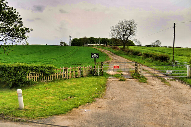
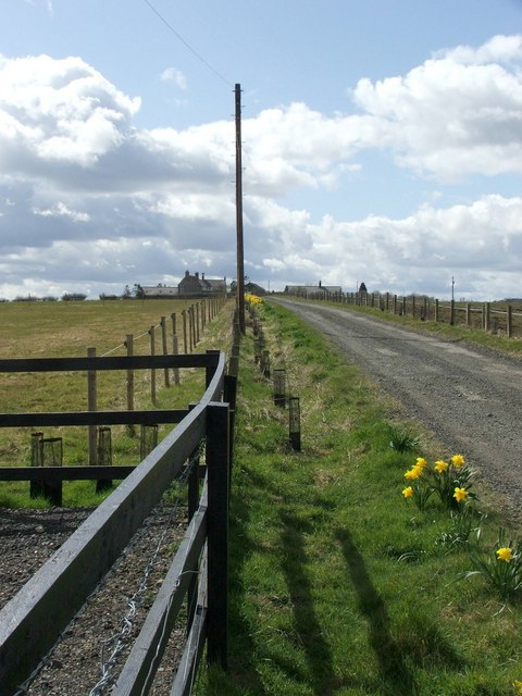
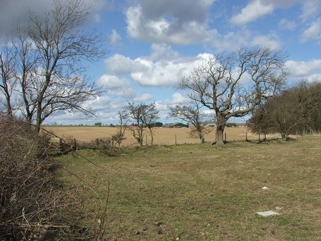
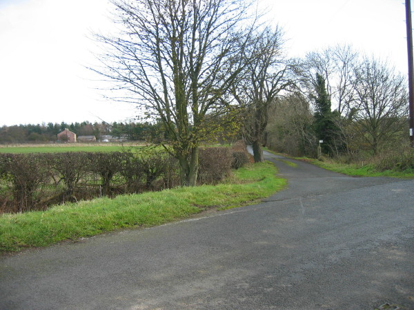
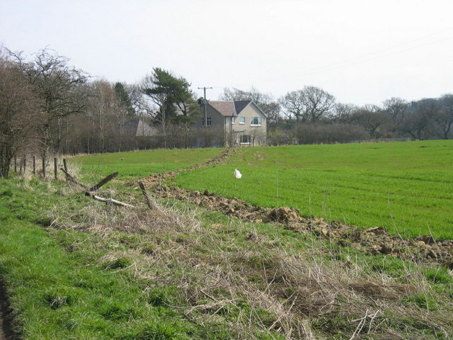
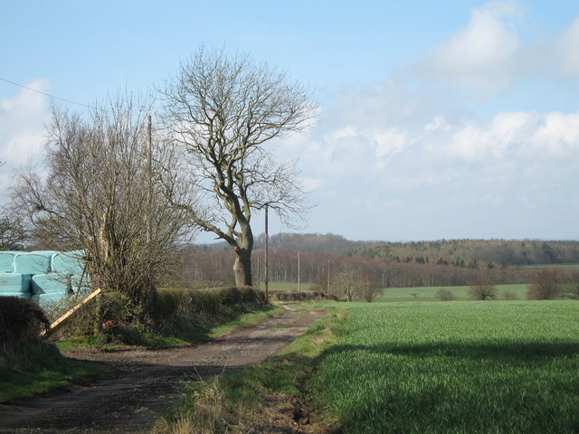
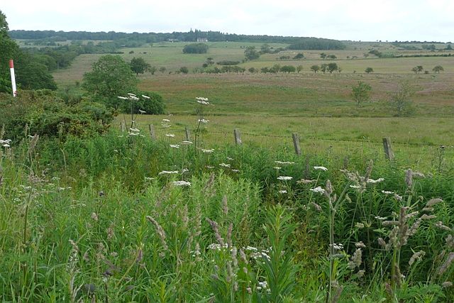
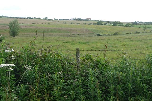
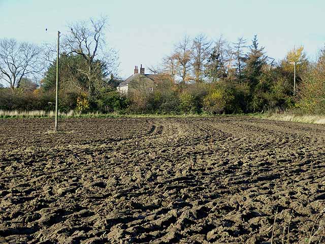
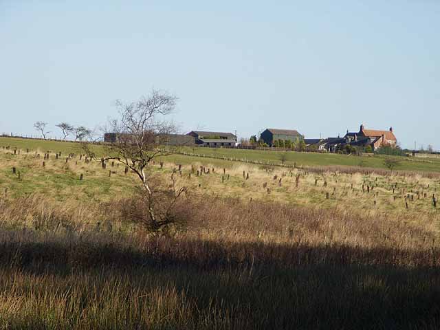
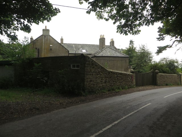
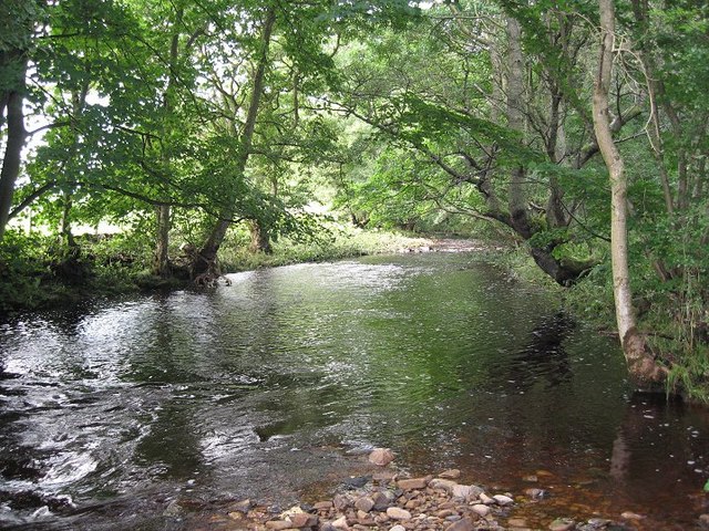
Alder Wood is a serene and picturesque forest located in the county of Northumberland, England. Spread across an area of approximately 500 acres, it is known for its dense population of alder trees, which give the woodland its name. The forest is situated in a remote and secluded area, making it a perfect retreat for nature enthusiasts and those seeking tranquility.

The alder trees, with their distinctively light brown bark and slender trunks, dominate the landscape of the wood. They provide a dense canopy, allowing only dappled sunlight to filter through, creating a magical and ethereal atmosphere. The forest floor is covered in a thick layer of moss, ferns, and wildflowers, adding to the enchanting ambiance.

Alder Wood is home to a diverse range of wildlife. Visitors may encounter various species of birds such as woodpeckers, owls, and thrushes, which nest within the branches of the alder trees. The forest is also inhabited by mammals like squirrels, badgers, and deer, which can often be spotted grazing or scurrying through the undergrowth.

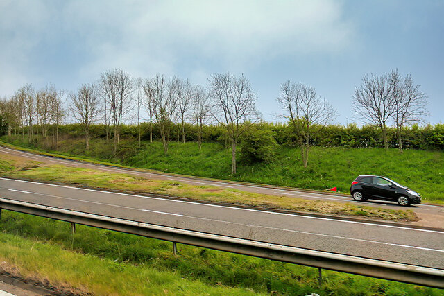
A network of well-maintained footpaths winds its way through Alder Wood, providing visitors with opportunities for leisurely strolls or more challenging hikes. These paths offer breathtaking views of the surrounding countryside, including rolling hills and distant valleys.

The forest is accessible to the public year-round, and there are designated areas for picnicking and camping, allowing visitors to fully immerse themselves in the natural beauty of Alder Wood. Its tranquil setting and diverse ecosystem make it a cherished destination for nature lovers and a true gem within Northumberland's landscape.

If you have any feedback on the listing, please let us know in the comments section below.
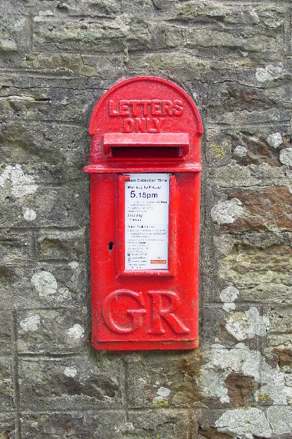
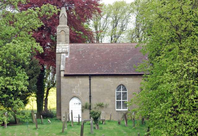
Alder Wood Images

Images are sourced within 2km of 55.201319/-1.7356333 or Grid Reference NZ1689. Thanks to Geograph Open Source API. All images are credited.

Track to Hebron Hill Farm
Sliproad onto the A1 at Northgate The sliproad from the A697 onto the southbound A1.
Sliproad onto the A1 at Northgate
The sliproad from the A697 onto the southbound A1.
White House alongside the A1
High Highlaws Farm Farm on the western side of the A1 near Hebron.
High Highlaws Farm
Farm on the western side of the A1 near Hebron.
Dobbies Garden Centre (Heighley Gate), Morpeth This Garden Centre, which lies adjacent to the A697, is known by its more historical name of Heighley Gate although the current owners, Dobbies Garden Centres refers to it as Dobbies, Morpeth. Compare this photograph with the one shown at <a title="https://www.geograph.org.uk/photo/3041530" href="https://www.geograph.org.uk/photo/3041530">Link</a> which was taken nearly 13 years ago.
Dobbies Garden Centre (Heighley Gate), Morpeth
This Garden Centre, which lies adjacent to the A697, is known by its more historical name of Heighley Gate although the current owners, Dobbies Garden Centres refers to it as Dobbies, Morpeth. Compare this photograph with the one shown at Link which was taken nearly 13 years ago.
Old Milepost by the A1 in Hebron Parish Cast iron post by the A1, in parish of HEBRON (CASTLE MORPETH District), open country, on grass verge, on East side of road. MA bevel iron casting, erected by the Cow-causey & Buckton-Burn turnpike trust in the 19th century. 

Inscription reads:-
: M / 3 : : A / 16 : 

Grade II listed. List Entry Number: 1153544
<span class="nowrap"><a title="https://historicengland.org.uk/listing/the-list/list-entry/1153544" rel="nofollow ugc noopener" href="https://historicengland.org.uk/listing/the-list/list-entry/1153544">Link</a><img style="margin-left:2px;" alt="External link" title="External link - shift click to open in new window" src="https://s1.geograph.org.uk/img/external.png" width="10" height="10"/></span>

Milestone Society National ID: NB_MPAN03.
Old Milepost by the A1 in Hebron Parish
Cast iron post by the A1, in parish of HEBRON (CASTLE MORPETH District), open country, on grass verge, on East side of road. MA bevel iron casting, erected by the Cow-causey & Buckton-Burn turnpike trust in the 19th century. Inscription reads:- : M / 3 : : A / 16 : Grade II listed. List Entry Number: 1153544 LinkExternal link Milestone Society National ID: NB_MPAN03.
Gorfen Letch Taken from the adjacent square because this looked like a private drive which lead only to the house. Half of the driveway and house are in the square.
Gorfen Letch
Taken from the adjacent square because this looked like a private drive which lead only to the house. Half of the driveway and house are in the square.
Farmland The fence separates two fields, one for growing arable crops and the other for grazing horses.
Farmland
The fence separates two fields, one for growing arable crops and the other for grazing horses.
Private drive leading to Heron's Close
The Oaks
The Oaks
Farm track at Hebron Hill farm Looking west towards the A1 trunk road
Farm track at Hebron Hill farm
Looking west towards the A1 trunk road
West of Gorfenletch From the minor road crossing the south-west corner of the square and looking north.  Harelaw is the building just to the right of the second line of low trees.
West of Gorfenletch
From the minor road crossing the south-west corner of the square and looking north. Harelaw is the building just to the right of the second line of low trees.
South of Gorfenletch From the minor road in the south-west of the square.  Gorfenletch cattle barn is the low building above the tree to the left.  The prominent building on the hill is Gorfenletch Farmhouse.  The farm was sold in lots between 2001 and 2006.
South of Gorfenletch
From the minor road in the south-west of the square. Gorfenletch cattle barn is the low building above the tree to the left. The prominent building on the hill is Gorfenletch Farmhouse. The farm was sold in lots between 2001 and 2006.
Abshields Farm Looking across a freshly-ploughed field.
Abshields Farm
Looking across a freshly-ploughed field.
Gorfen Letch Farm Looking across the fields.
Gorfen Letch Farm
Looking across the fields.
Gas Installation
Gas Installation
Postbox, Pidgon The small postbox is located in the wall of the farmhouse garden on the roadside in Pigdon.
Postbox, Pidgon
The small postbox is located in the wall of the farmhouse garden on the roadside in Pigdon.
Farmhouse, Pigdon The large farmhouse at Pigdon, located on the roadside at the eastern end of the hamlet.
Farmhouse, Pigdon
The large farmhouse at Pigdon, located on the roadside at the eastern end of the hamlet.
Show me another place!

Alder Wood is located at Grid Ref: NZ1689 (Lat: 55.201319, Lng: -1.7356333)

Unitary Authority: Northumberland

Police Authority: Northumbria

What 3 Words

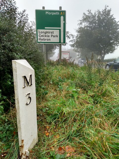
///hypnotist.mandates.dozed. Near Hebron, Northumberland

Nearby Locations

Alder Wood

Related Wikis

Pigdon

Pigdon is a hamlet and former civil parish 3 miles (4.8 km) from Morpeth, now in the parish of Meldon, in the county of Northumberland, England. In 1951...

Hebron, Northumberland

Hebron is a village and civil parish 2 miles (3.2 km) north of Morpeth, in the county of Northumberland, England. In 2011 the parish had a population of...

Stanton, Northumberland

Stanton is a small hamlet and former civil parish, now in the parish of Netherwitton, in Northumberland, England, which is located 7 miles (11 km) north...
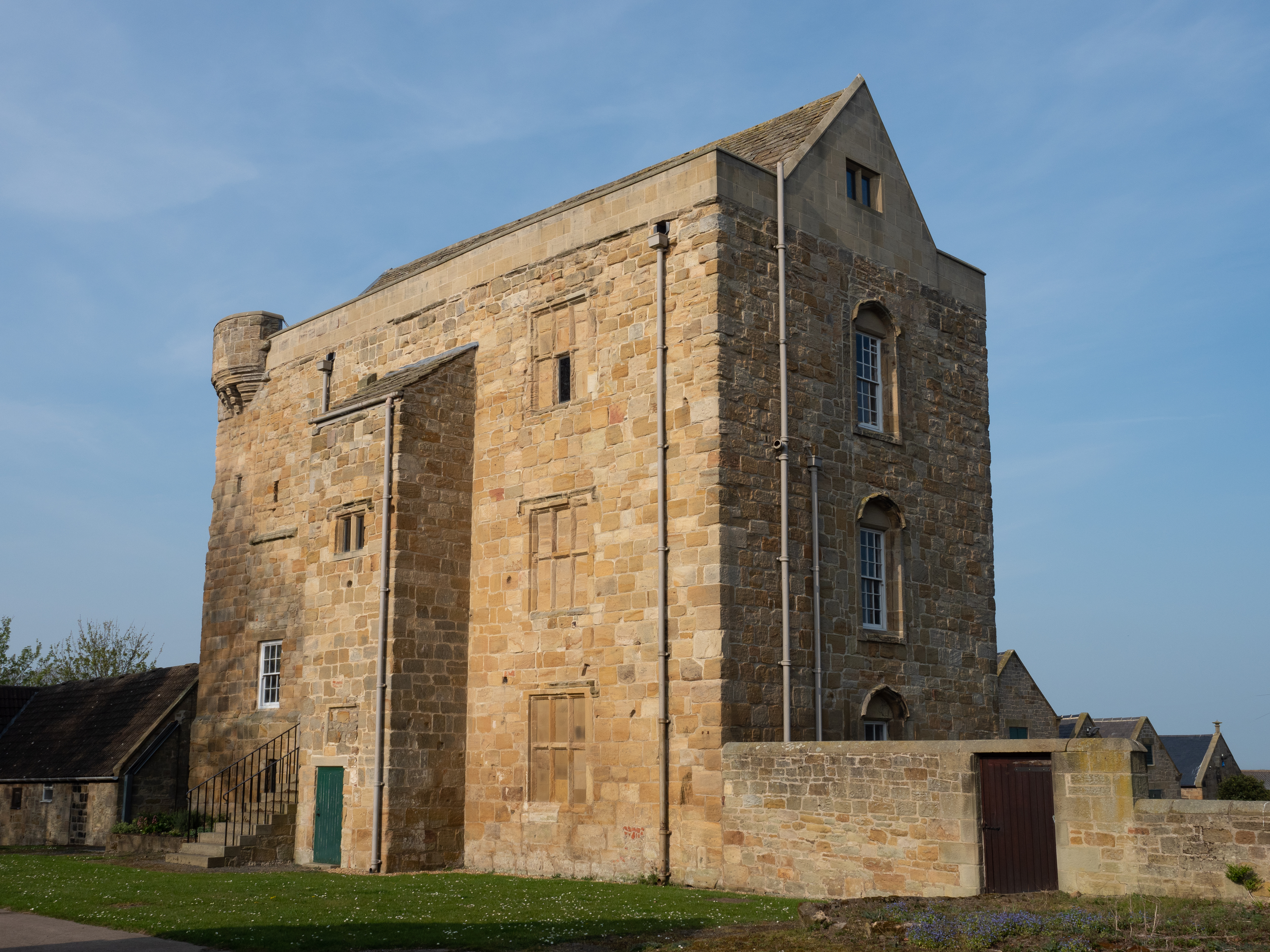
Cockle Park Tower

Cockle Park Tower is a Grade 1 listed building in the hamlet of Cockle Park, Northumberland, England, some 4 miles (6 km) to the north of Morpeth. This...

Mitford, Northumberland

Mitford is a village in Northumberland, England, located 2 miles (3 km) west of Morpeth. == History == Although the foundation of Mitford is unknown, it...

River Font

The River Font is a river that flows through Northumberland, England. The river is a tributary of the River Wansbeck which it joins at Mitford. == References... ==

The King Edward VI School, Morpeth

King Edward VI School, Morpeth is a voluntary controlled academy high school in Morpeth, Northumberland, England. It was established by a royal charter...

Bullers Green

Bullers Green is a part of the town of Morpeth and former civil parish, Northumberland, England. In 1881 the parish had a population of 346. == Governance... ==

Nearby Amenities

Located within 500m of 55.201319,-1.7356333
Post Box
Ref: NE61 38
Source: survey
Lat/Long: 55.2009527/-1.7279242
The data included in this document is from www.openstreetmap.org. The data is made available under ODbL.

Have you been to Alder Wood?

Leave your review of Alder Wood below (or comments, questions and feedback).