Dallowgill Moor
Downs, Moorland in Yorkshire Harrogate
England
Dallowgill Moor
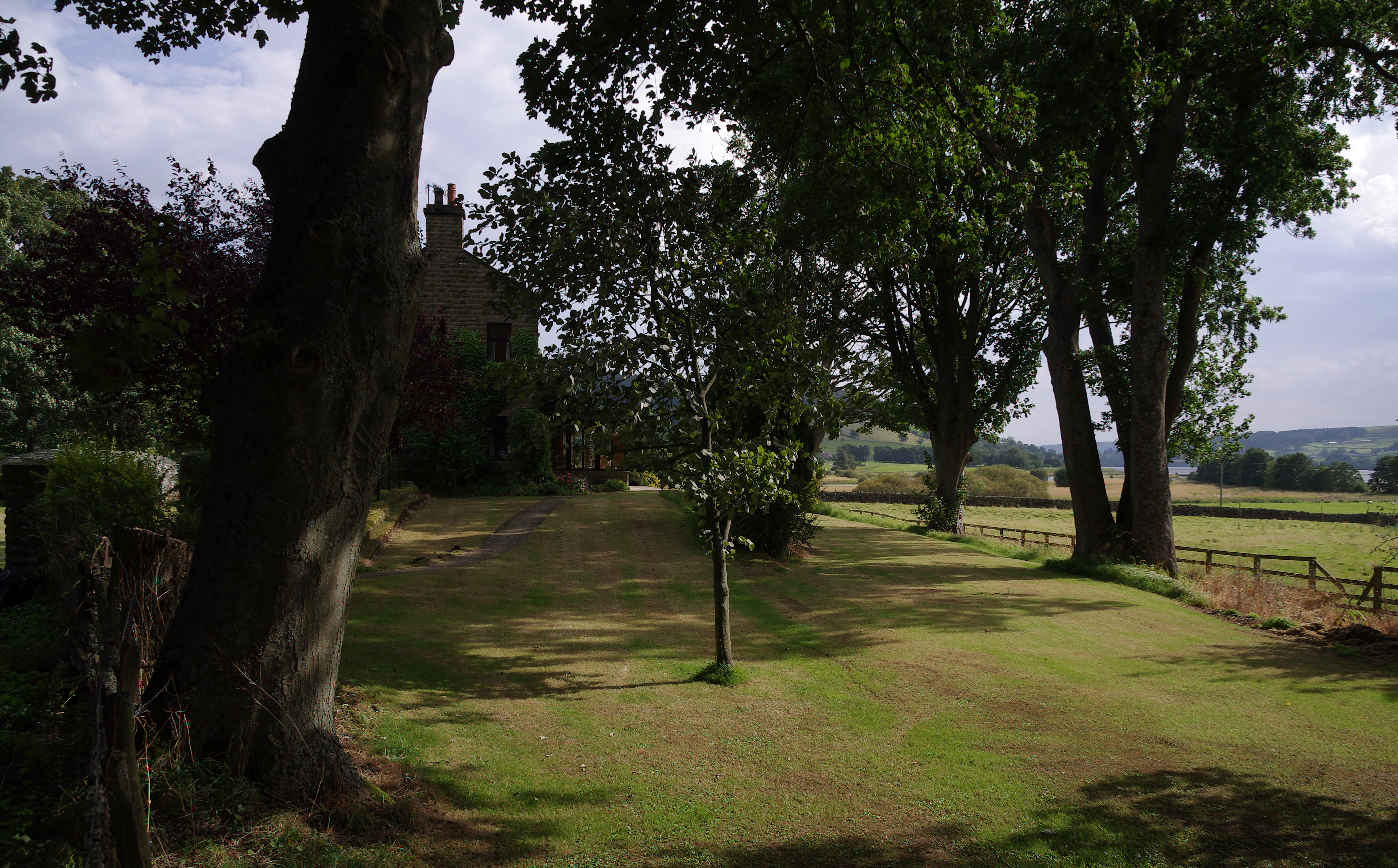
Dallowgill Moor is a picturesque and rugged expanse of moorland situated in the county of Yorkshire, England. Located in the Nidderdale Area of Outstanding Natural Beauty, it covers an area of approximately 5 square miles and lies within the Harrogate district.
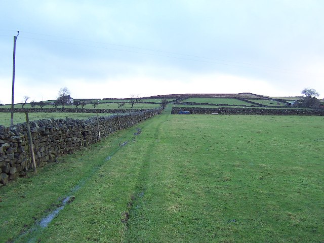
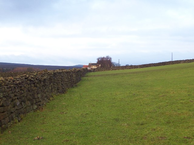
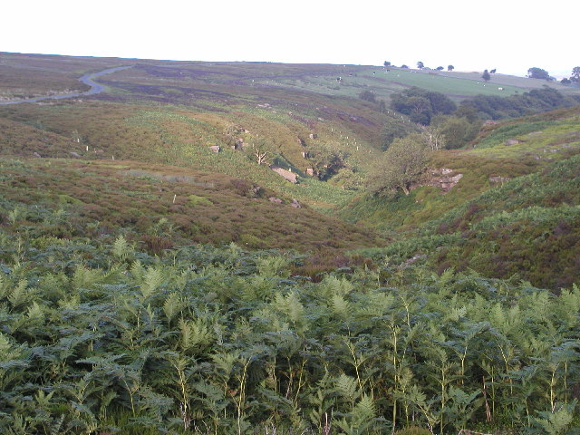
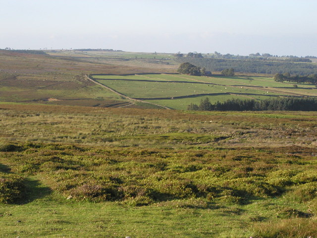
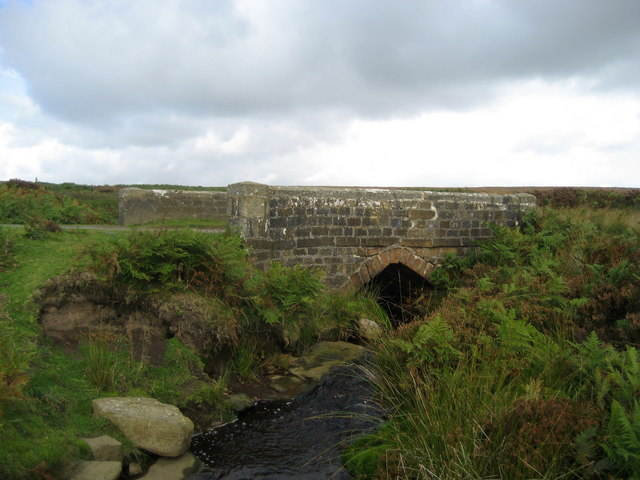
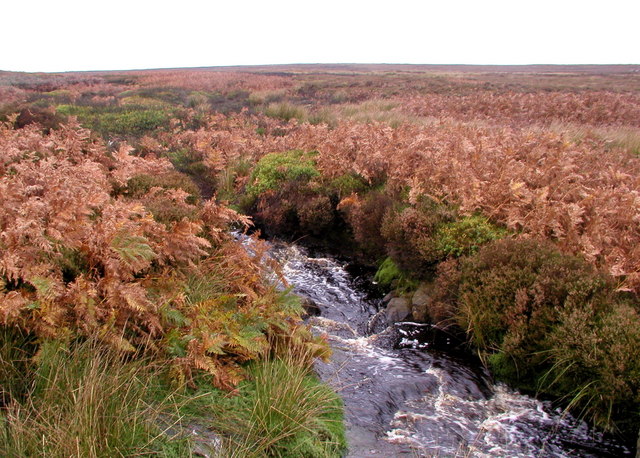
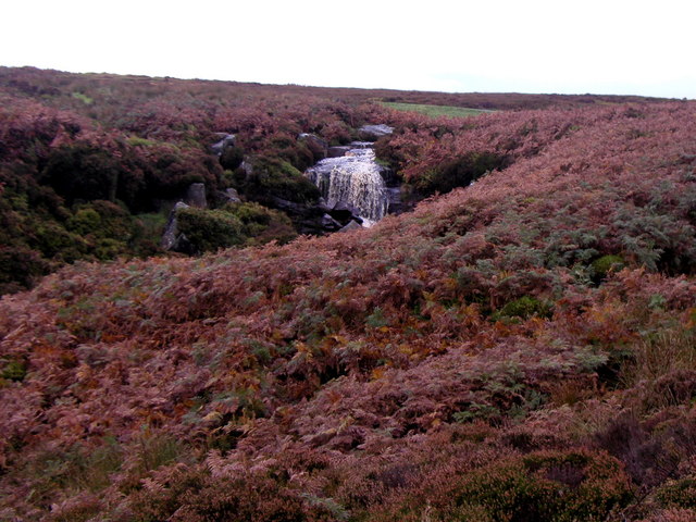
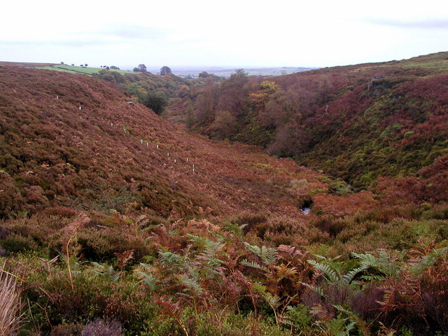
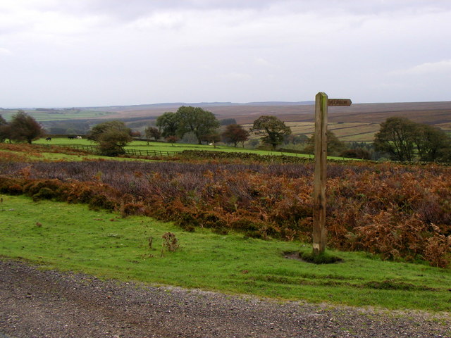
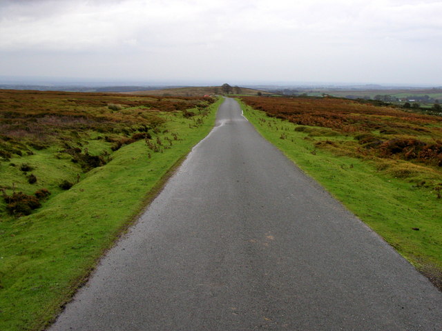
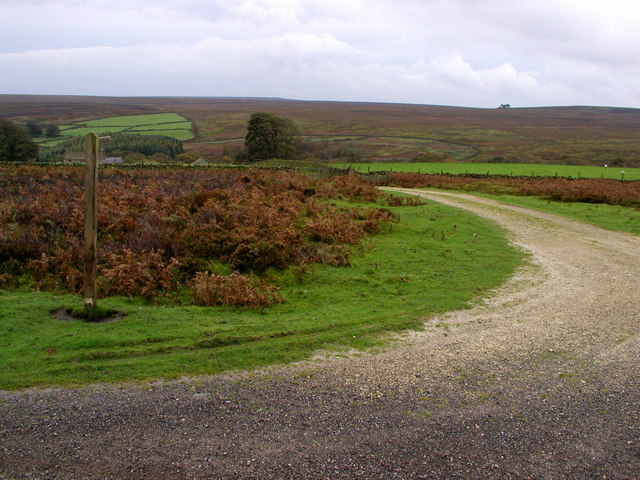
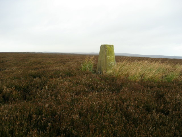
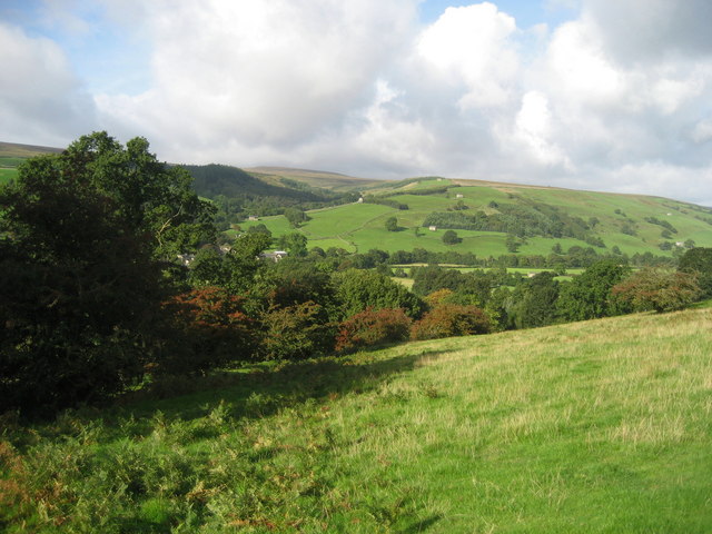
The moorland terrain of Dallowgill is characterized by undulating hills, heather-clad slopes, and vast stretches of open grassland. It is surrounded by an enchanting blend of rolling farmland, ancient woodlands, and meandering rivers. The landscape offers stunning panoramic views, particularly from the higher elevations, where one can observe the surrounding valleys and peaks of the Yorkshire Dales National Park.
Dallowgill Moor is known for its rich biodiversity and serves as an important habitat for numerous plant and animal species. The heather-dominated vegetation provides a vibrant splash of color during the summer months, while the wetland areas support a variety of mosses, ferns, and wildflowers. The moorland is also home to several bird species, including the elusive red grouse and the majestic peregrine falcon.
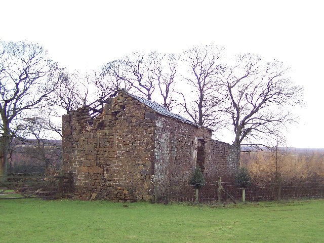
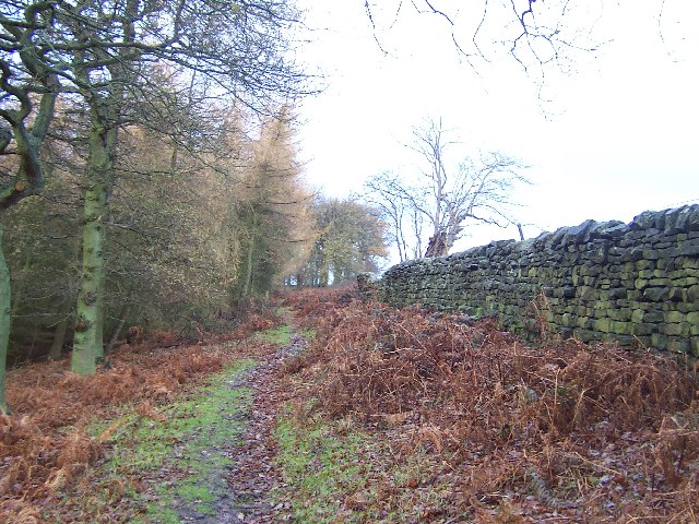
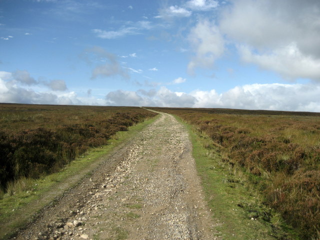
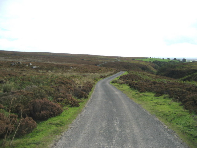
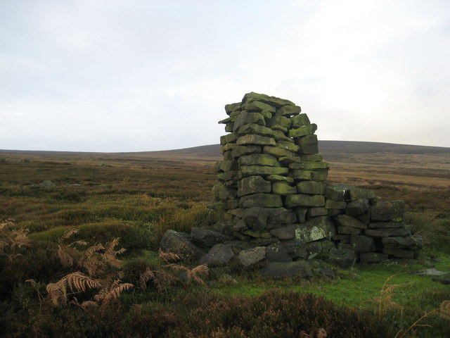
The area is crisscrossed by a network of footpaths and bridleways, making it a popular destination for walkers, hikers, and nature enthusiasts. These trails offer a chance to explore the moorland's hidden gems, such as ancient burial mounds and stone circles, which provide a glimpse into the area's rich history and heritage.
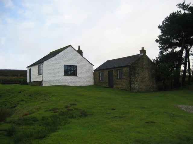
Dallowgill Moor offers a tranquil and unspoiled environment, with its remote location and vast expanses of open space providing a sense of solitude and freedom. Whether one seeks a peaceful retreat or an opportunity to immerse themselves in the beauty of Yorkshire's wild landscapes, Dallowgill Moor is a destination that captivates and inspires all who visit.
If you have any feedback on the listing, please let us know in the comments section below.
Dallowgill Moor Images
Images are sourced within 2km of 54.1364/-1.7451626 or Grid Reference SE1671. Thanks to Geograph Open Source API. All images are credited.
Dallowgill Moor is located at Grid Ref: SE1671 (Lat: 54.1364, Lng: -1.7451626)
Division: West Riding
Administrative County: North Yorkshire
District: Harrogate
Police Authority: North Yorkshire
What 3 Words
///equivocal.sensual.dared. Near Pateley Bridge, North Yorkshire
Nearby Locations
Related Wikis

Dallowgill
Dallowgill (historically also Dallaghill) is a village in Harrogate district in North Yorkshire, England. It consists of a number of scattered settlements...

High and Low Bishopside
High and Low Bishopside is a civil parish in Nidderdale in the Harrogate district, in the county of North Yorkshire, England. It includes the town of Pateley...
Wath-in-Nidderdale
Wath, sometimes known as Wath-in-Nidderdale to distinguish it from other places named Wath, is a village in the Harrogate district of North Yorkshire,...
Six Dales Trail
The Six Dales Trail is a long distance footpath in North Yorkshire, England, with a short section in West Yorkshire. It is 38 miles (61 km) long and connects...
Wath-in-Nidderdale railway station
Wath-in-Nidderdale railway station, was one of two intermediate stations on the Nidd Valley Light Railway, in Wath-in-Nidderdale, Yorkshire, England. The...

Gouthwaite Reservoir
Gouthwaite Reservoir is in Nidderdale, North Yorkshire, England. It is one of many reservoirs in the area, others include Roundhill Reservoir and Angram...
Bouthwaite
Bouthwaite is a hamlet in the Harrogate district of North Yorkshire, England. It is situated in Nidderdale, to the north of Pateley Bridge, close to the...
Ramsgill railway station
Ramsgill railway station was a station on the Nidd Valley Light Railway in Nidderdale in Yorkshire, England. It opened in 1907 and closed in 1930. It was...
Have you been to Dallowgill Moor?
Leave your review of Dallowgill Moor below (or comments, questions and feedback).