Horse Plain

Downs, Moorland in Yorkshire Harrogate

England

Horse Plain

Green Lane leading away from Dallowgill to Greygarth Pleasant preamble through upland pastures near Greygarth.
Green Lane leading away from Dallowgill to Greygarth Credit: Chris Heaton

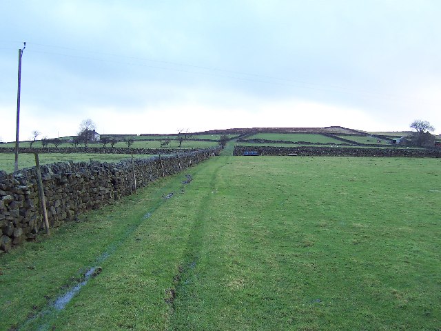
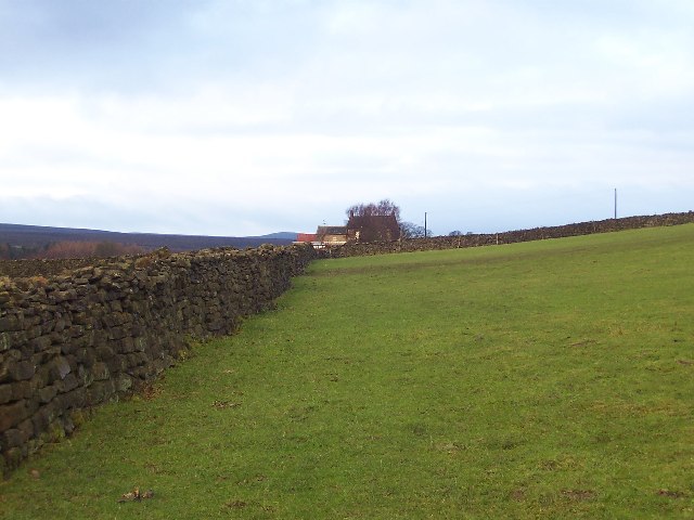
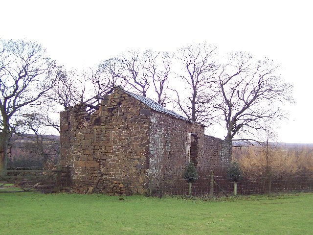
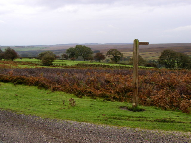
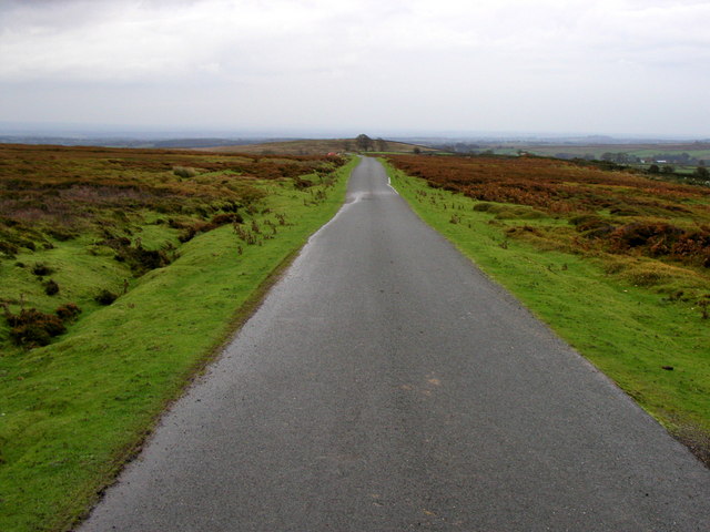
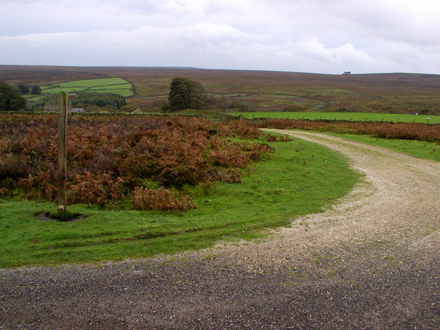
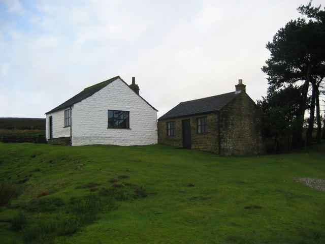
Horse Plain, located in the region of Yorkshire, England, is an expansive area known for its picturesque scenery of downs and moorland. Covering a significant area, it offers a diverse landscape that showcases the natural beauty of the region.

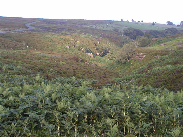
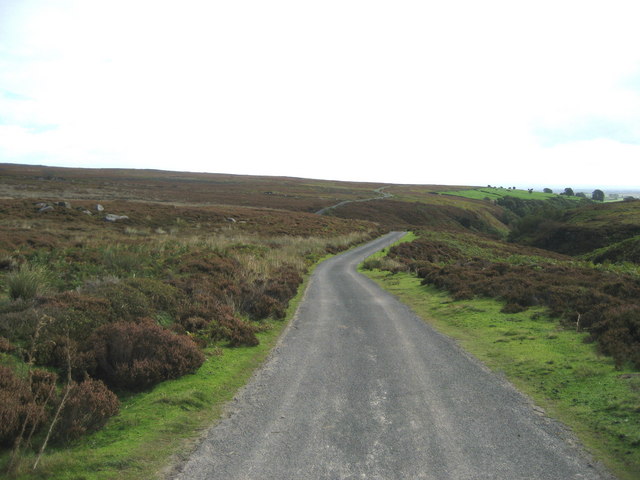
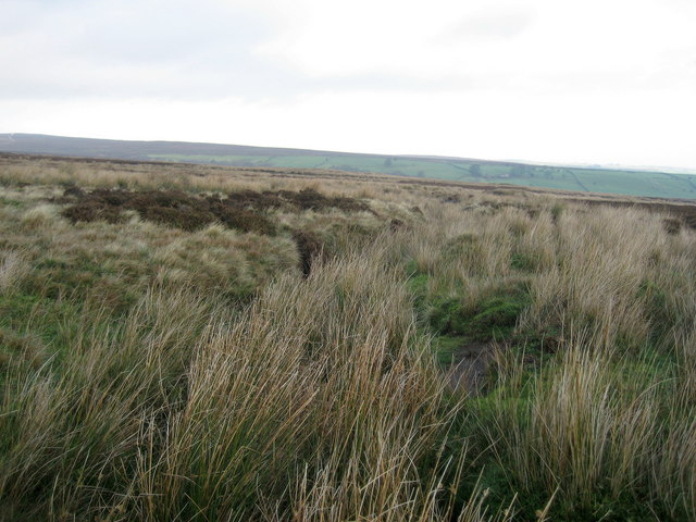
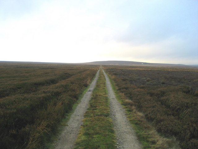
The downs of Horse Plain are characterized by their rolling hills and vast open spaces. These grassy hills are often used for grazing livestock, particularly horses, hence the name of the area. The downs provide a tranquil setting, with their gentle slopes and panoramic views, attracting both locals and tourists alike.

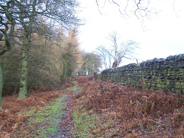
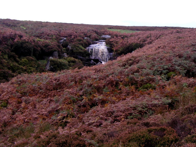
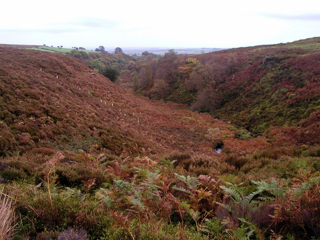
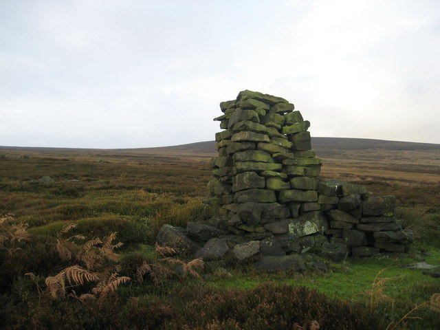
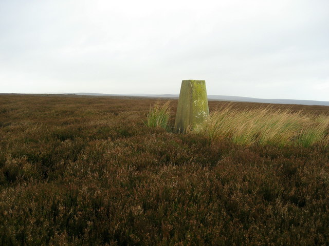
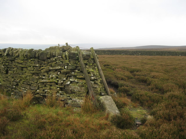
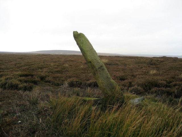
In contrast, the moorland of Horse Plain offers a more rugged and wild environment. This part of the area is characterized by its heather-covered hills, scattered with boulders and rocky outcrops. Moorland birds, such as grouse and curlews, can often be spotted in this habitat, adding to its natural charm.

Throughout Horse Plain, there are numerous walking trails and paths, allowing visitors to explore and immerse themselves in the beauty of the countryside. These routes offer a chance to discover the unique flora and fauna of the region, as well as the opportunity to witness stunning sunsets or encounter local wildlife.

Horse Plain, Yorkshire, with its combination of downs and moorland, presents a captivating and diverse landscape that showcases the natural wonders of the area. Whether one is seeking a peaceful retreat or an adventurous hiking experience, Horse Plain offers something for everyone to enjoy.

If you have any feedback on the listing, please let us know in the comments section below.

Horse Plain Images

Images are sourced within 2km of 54.135239/-1.7445882 or Grid Reference SE1671. Thanks to Geograph Open Source API. All images are credited.

Green Lane leading away from Dallowgill to Greygarth Pleasant preamble through upland pastures near Greygarth.
Green Lane leading away from Dallowgill to Greygarth
Pleasant preamble through upland pastures near Greygarth.
Approaching Bents House Crossing upland pastures from the east, above the valley of Dallowgill to reach the farm known as Bents House
Approaching Bents House
Crossing upland pastures from the east, above the valley of Dallowgill to reach the farm known as Bents House
Abandoned Farm Buildings, Dallowgill Close to Bents House, and above the wooded cleft of Dallowgill.
Abandoned Farm Buildings, Dallowgill
Close to Bents House, and above the wooded cleft of Dallowgill.
Woods in Dallowgill
Woods in Dallowgill
North Gill Beck Looking from the top left hand corner of the square down North Gill Beck on a lovely July evening.
North Gill Beck
Looking from the top left hand corner of the square down North Gill Beck on a lovely July evening.
Ramsgill/Dallowgill Highway (5) The thoroughfare becomes metalled after crossing Hambleton Dike
Ramsgill/Dallowgill Highway (5)
The thoroughfare becomes metalled after crossing Hambleton Dike
Waterfall just east and below Stope Bridge
North Gill Beck Taken later in the year to my last photograph - the colours are completely different!
North Gill Beck
Taken later in the year to my last photograph - the colours are completely different!
Bridleway to Dallowgill
Moorland Road
Moorland Road
Moorland Bridleway
Moorland Bridleway
Kettlestang Shooting House Very isolated location on the wilderness of Dallowgill Moor
Kettlestang Shooting House
Very isolated location on the wilderness of Dallowgill Moor
Rudimentary Shelter, Dallowgill Moor This very rough stone construction can be found above South Gill Beck, just off the access track to Kettlestang Shooting House
Rudimentary Shelter, Dallowgill Moor
This very rough stone construction can be found above South Gill Beck, just off the access track to Kettlestang Shooting House
Kettlestang Hill Seldom visited summit and decommissioned trig point at 1280ft. Compass bearings and a slog through heather were necessary to accomplish the climb.
Kettlestang Hill
Seldom visited summit and decommissioned trig point at 1280ft. Compass bearings and a slog through heather were necessary to accomplish the climb.
Dry Stone Wall on High Hill Not particularly high - and where is the hill?  The wall executes an "S" bend at this juncture, which makes it easy to pinpoint my location on the map in this featureless landscape
Dry Stone Wall on High Hill
Not particularly high - and where is the hill? The wall executes an "S" bend at this juncture, which makes it easy to pinpoint my location on the map in this featureless landscape
Bogs Dike This tiny watercourse is almost hidden by moorland vegetation.  Plenty of grouse in this location.
Bogs Dike
This tiny watercourse is almost hidden by moorland vegetation. Plenty of grouse in this location.
Boundary Stone, Dallowgill Moor Beside the access track to Kettlestang Shooting House, this particular stone has leaned a long way from the intended perpendicular
Boundary Stone, Dallowgill Moor
Beside the access track to Kettlestang Shooting House, this particular stone has leaned a long way from the intended perpendicular
Access Track, Dallowgill Moor Track leading to Kettlestang Shooting House
Access Track, Dallowgill Moor
Track leading to Kettlestang Shooting House
Show me another place!

Horse Plain is located at Grid Ref: SE1671 (Lat: 54.135239, Lng: -1.7445882)

Division: West Riding

Administrative County: North Yorkshire

District: Harrogate

Police Authority: North Yorkshire

What 3 Words

///arose.imparting.those. Near Pateley Bridge, North Yorkshire

Related Wikis

Dallowgill

Dallowgill (historically also Dallaghill) is a village in Harrogate district in North Yorkshire, England. It consists of a number of scattered settlements...

High and Low Bishopside

High and Low Bishopside is a civil parish in Nidderdale in the Harrogate district, in the county of North Yorkshire, England. It includes the town of Pateley...

Wath-in-Nidderdale

Wath, sometimes known as Wath-in-Nidderdale to distinguish it from other places named Wath, is a village in the Harrogate district of North Yorkshire,...

Six Dales Trail

The Six Dales Trail is a long distance footpath in North Yorkshire, England, with a short section in West Yorkshire. It is 38 miles (61 km) long and connects...

Nearby Amenities

Located within 500m of 54.135239,-1.7445882
Man Made: cairn
Lat/Long: 54.1315131/-1.7448381
The data included in this document is from www.openstreetmap.org. The data is made available under ODbL.

Have you been to Horse Plain?

Leave your review of Horse Plain below (or comments, questions and feedback).