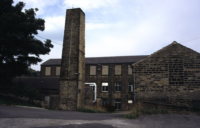
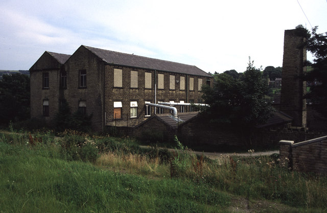
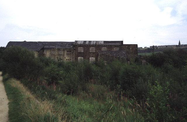
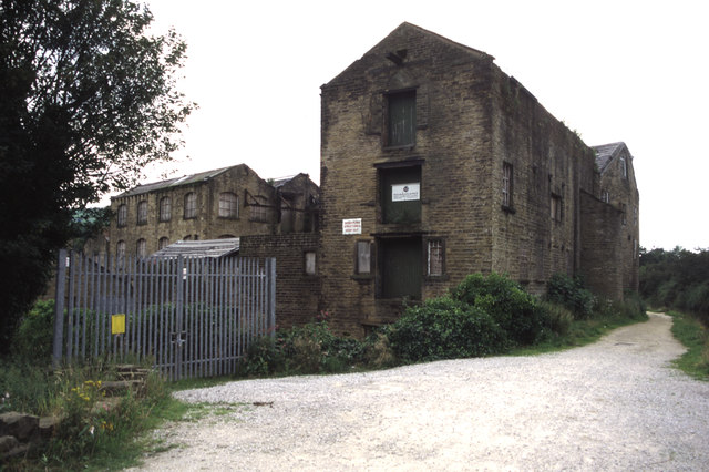
Hollins Green

Downs, Moorland in Yorkshire

England

Hollins Green

Looking east from Slaithwaite Station
Looking east from Slaithwaite Station Credit: SMJ

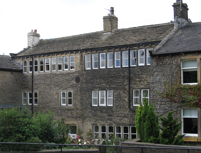
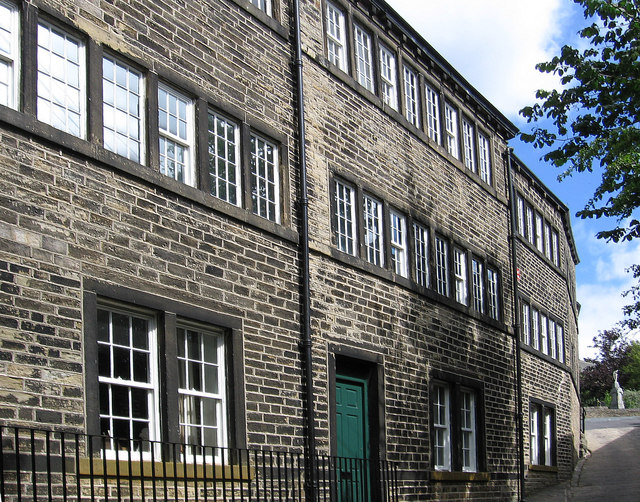
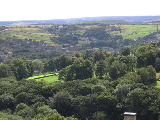
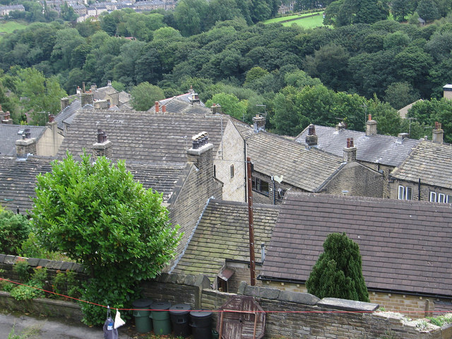
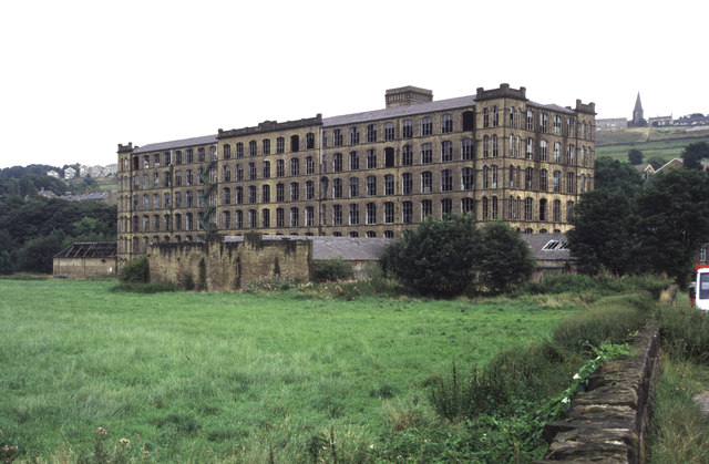
Hollins Green is a charming village located in the heart of Yorkshire, England. Situated amidst the beautiful Yorkshire Downs and Moorland, this picturesque settlement offers a serene and idyllic countryside setting.

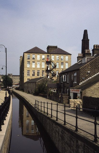
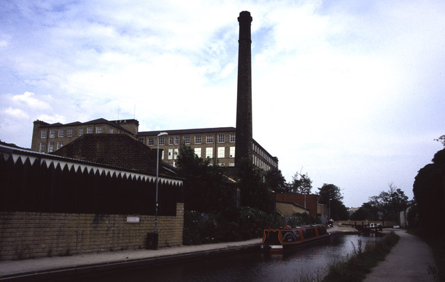
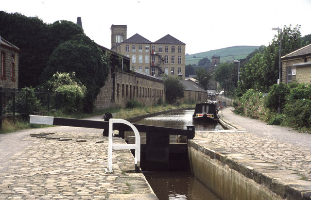
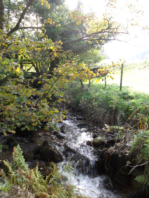
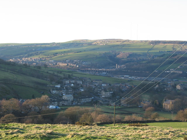
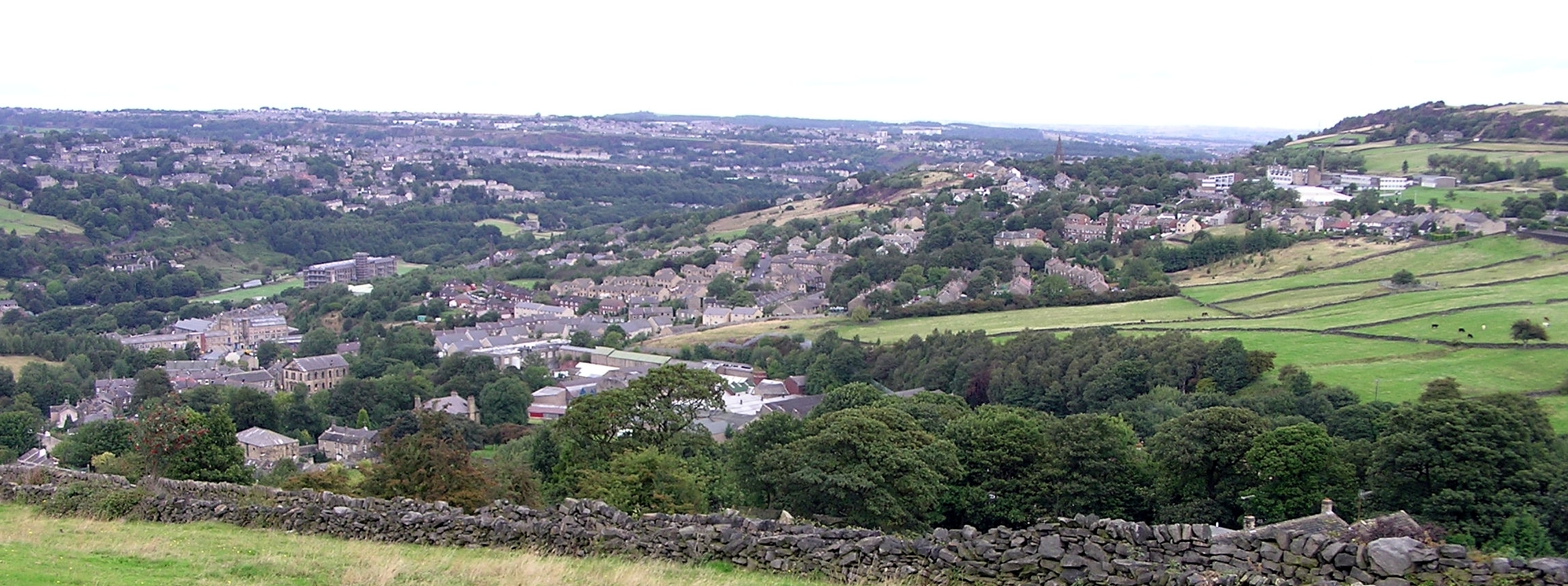
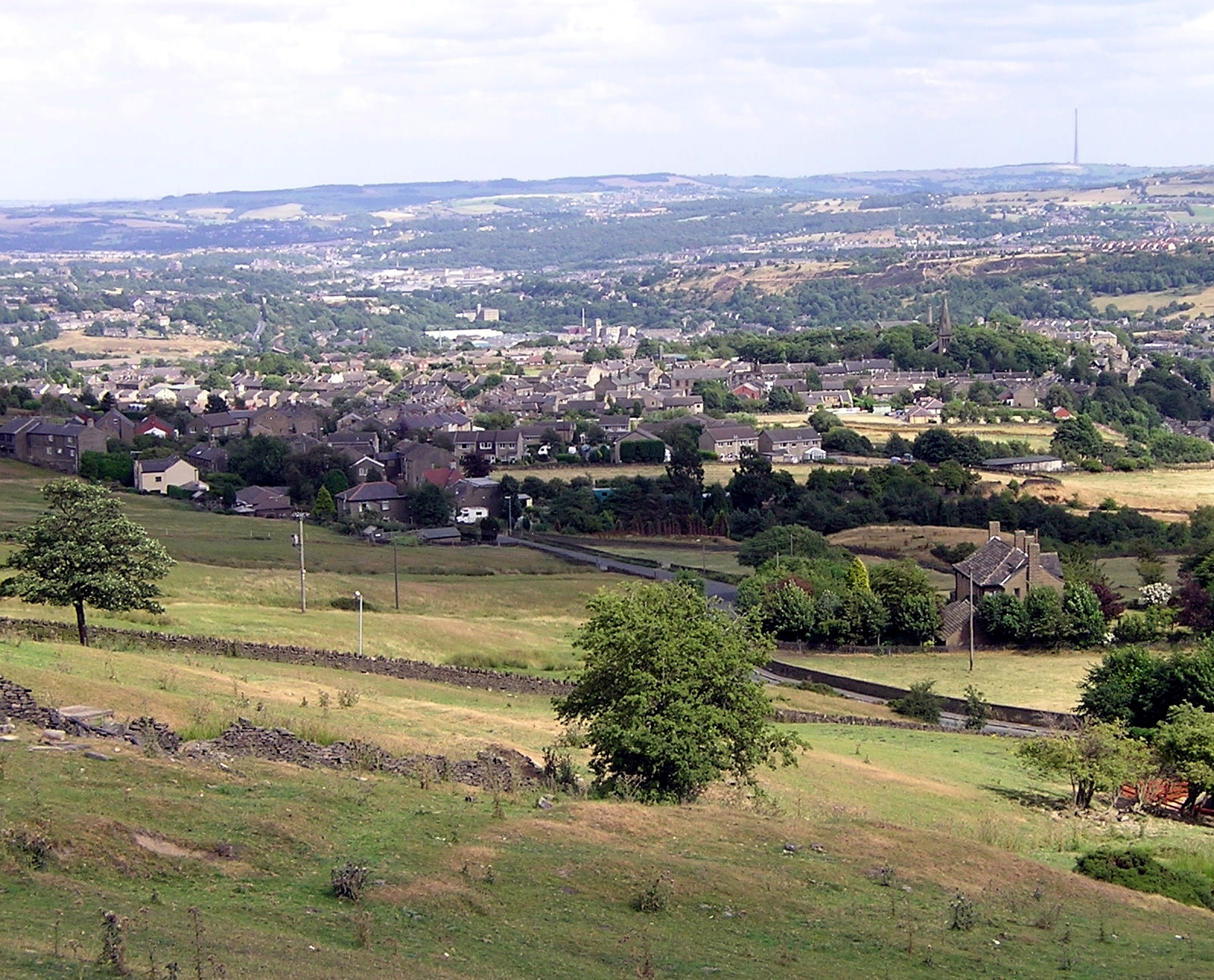
The village is known for its stunning natural surroundings, with rolling hills, lush green meadows, and expansive moorland stretching as far as the eye can see. It provides an ideal destination for nature enthusiasts and outdoor lovers, with numerous walking and hiking trails to explore. Visitors can revel in the breathtaking views, observe diverse wildlife, and immerse themselves in the tranquility of the countryside.

Hollins Green itself is a close-knit community, exuding a welcoming and friendly atmosphere. The village boasts a range of amenities, including a quaint village pub, a local shop, and a primary school. The residents take great pride in their village and organize various community events throughout the year, fostering a strong sense of belonging.

In addition to its natural beauty, Hollins Green offers easy access to nearby attractions. The bustling market town of Skipton is a short drive away, renowned for its historic castle and vibrant market. The charming village of Grassington, with its cobbled streets and traditional stone houses, is also within reach.

Overall, Hollins Green is a hidden gem in Yorkshire, offering a peaceful and picturesque escape from the hustle and bustle of city life. Its stunning countryside, community spirit, and proximity to other attractions make it an ideal destination for those seeking a true taste of Yorkshire's beauty and charm.

If you have any feedback on the listing, please let us know in the comments section below.

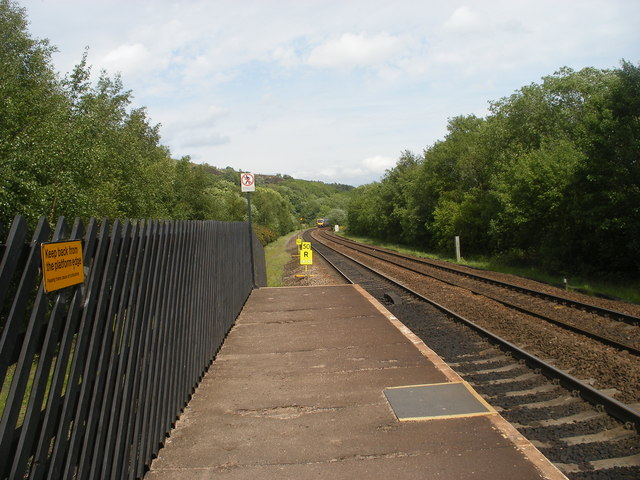
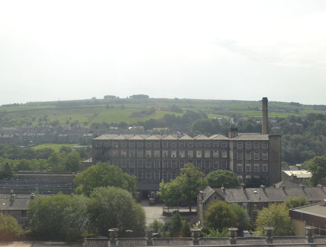
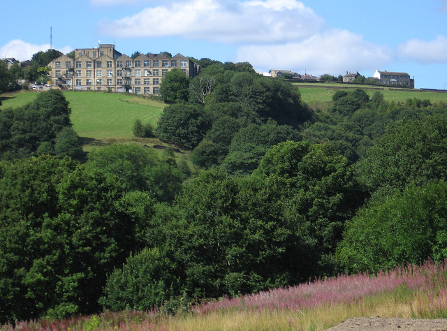
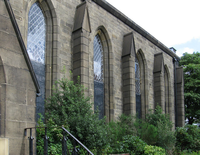
Hollins Green Images

Images are sourced within 2km of 53.622113/-1.8506811 or Grid Reference SE0913. Thanks to Geograph Open Source API. All images are credited.

Looking east from Slaithwaite Station
Mills in New Street Slaithwaite From railway
Mills in New Street Slaithwaite
From railway
Golcar - Heath House Mill From Carr Top Lane.  For an alternative view, please see <a href="https://www.geograph.org.uk/photo/2194619">SE0915 : Heath House Mill, Golcar</a>.
Golcar - Heath House Mill
From Carr Top Lane. For an alternative view, please see SE0915 : Heath House Mill, Golcar.
Golcar - St John's Parish Church
Golcar - weavers cottages on Town End
Golcar - Colne Valley Museum
Golcar - view to Linthwaite Across the Colne Valley.
Golcar - view to Linthwaite
Across the Colne Valley.
Golcar - rooftops on Carr Top Lane
Titanic Mill This textile mill was built in 1912 and was hence known as Titanic Mill. It was lying derelict and unloved when I photographed it in 2002 but it has since been converted in to apartments and the photograph here <a href="https://www.geograph.org.uk/photo/2194713">SE0914 : Titanic Mill</a> was taken from practically the same location. In some ways I prefer the earlier photograph.
Titanic Mill
This textile mill was built in 1912 and was hence known as Titanic Mill. It was lying derelict and unloved when I photographed it in 2002 but it has since been converted in to apartments and the photograph here SE0914 : Titanic Mill was taken from practically the same location. In some ways I prefer the earlier photograph.
Huddersfield Narrow Canal, Slaithwaite Now restored for navigation. This stretch through Slaithwaite had been culverted (in the 1970s I think) and had to be re-excavated. A fine job has been made. This was the first time I had seen this and was on a walk along the Yorkshire side of the canal before Standedge Tunnel
Huddersfield Narrow Canal, Slaithwaite
Now restored for navigation. This stretch through Slaithwaite had been culverted (in the 1970s I think) and had to be re-excavated. A fine job has been made. This was the first time I had seen this and was on a walk along the Yorkshire side of the canal before Standedge Tunnel
Huddersfield Narrow Canal, Slaithwaite Platt Lane bridge in the distance alongside Spa Mill. The latter is an example of a Yorkshire cotton mill but in stone, rather than the red brick of lancashire. The chimney is that of Platt Mill
Huddersfield Narrow Canal, Slaithwaite
Platt Lane bridge in the distance alongside Spa Mill. The latter is an example of a Yorkshire cotton mill but in stone, rather than the red brick of lancashire. The chimney is that of Platt Mill
Huddersfield Narrow Canal, Slaithwaite The lock gate carries the date 2000. Globe Mills are seen in the distance. A magnificent feat of canal restoration to surpass the recent Droitwich Canals project.
Huddersfield Narrow Canal, Slaithwaite
The lock gate carries the date 2000. Globe Mills are seen in the distance. A magnificent feat of canal restoration to surpass the recent Droitwich Canals project.
Lees Mill, Golcar A small mill complex. Humphrey Bolton locates this in Golcar.
Lees Mill, Golcar
A small mill complex. Humphrey Bolton locates this in Golcar.
Lees Mill, Golcar Photographed across the Huddersfield Narrow Canal.
Lees Mill, Golcar
Photographed across the Huddersfield Narrow Canal.
Low Westwood Mill, Golcar Derelict mill with a silted up and overgrown pond. This view <a href="https://www.geograph.org.uk/photo/508312">SE0914 : Low Westwood Mills</a> shows it in better times. The towpath of the Huddersfield Narrow Canal is on the left.
Low Westwood Mill, Golcar
Derelict mill with a silted up and overgrown pond. This view SE0914 : Low Westwood Mills shows it in better times. The towpath of the Huddersfield Narrow Canal is on the left.
Low Westwood Mill, Golcar Now even more derelict. Plans for conversion to accommodation have so far fallenthrough (2011).
Low Westwood Mill, Golcar
Now even more derelict. Plans for conversion to accommodation have so far fallenthrough (2011).
Bradley Brook near Slaithwaite Looking upstream. Fast-flowing due to the recent rain.
Bradley Brook near Slaithwaite
Looking upstream. Fast-flowing due to the recent rain.
Upper Clough Beyond the hamlet of Upper Clough in the middle of the picture is Crimble Viaduct and on the skyline above a faint indication of the radio masts on Moorside Edge.
Upper Clough
Beyond the hamlet of Upper Clough in the middle of the picture is Crimble Viaduct and on the skyline above a faint indication of the radio masts on Moorside Edge.
Show me another place!

Hollins Green is located at Grid Ref: SE0913 (Lat: 53.622113, Lng: -1.8506811)

Division: West Riding

Unitary Authority: Kirklees

Police Authority: West Yorkshire

What 3 Words

///logbook.fame.lavender. Near Linthwaite, West Yorkshire

Related Wikis

Colne Valley High School

Colne Valley High School is a mixed secondary school in the village of Linthwaite, Huddersfield, West Yorkshire, England. It is named thus because it exists...

Linthwaite

Linthwaite (known as Linfit in the local community) is a village in Kirklees, West Yorkshire, England. Historically part of the West Riding of Yorkshire...

Colne Valley (UK Parliament constituency)

Colne Valley is a constituency represented in the House of Commons of the UK Parliament since 2019 by Jason McCartney of the Conservative Party. ��2�...

Colne Valley

The Colne Valley is a steep sided valley on the east flank of the Pennine Hills in the English county of West Yorkshire. It takes its name from the River...

Golcar railway station

Golcar railway station is a former railway station serving Golcar in West Yorkshire, England that was located between the existing Huddersfield and Slaithwaite...

Cowlersley

Cowlersley is a district 2 miles (3.2 km) west of Huddersfield, West Yorkshire, England. It is situated between Milnsbridge and Linthwaite and south of...

Golcar

Golcar (pronounced 'Go Car' or 'Golker') is a village on a hillside crest above the Colne Valley in West Yorkshire, England, 2.5 miles (4 km) west of Huddersfield...
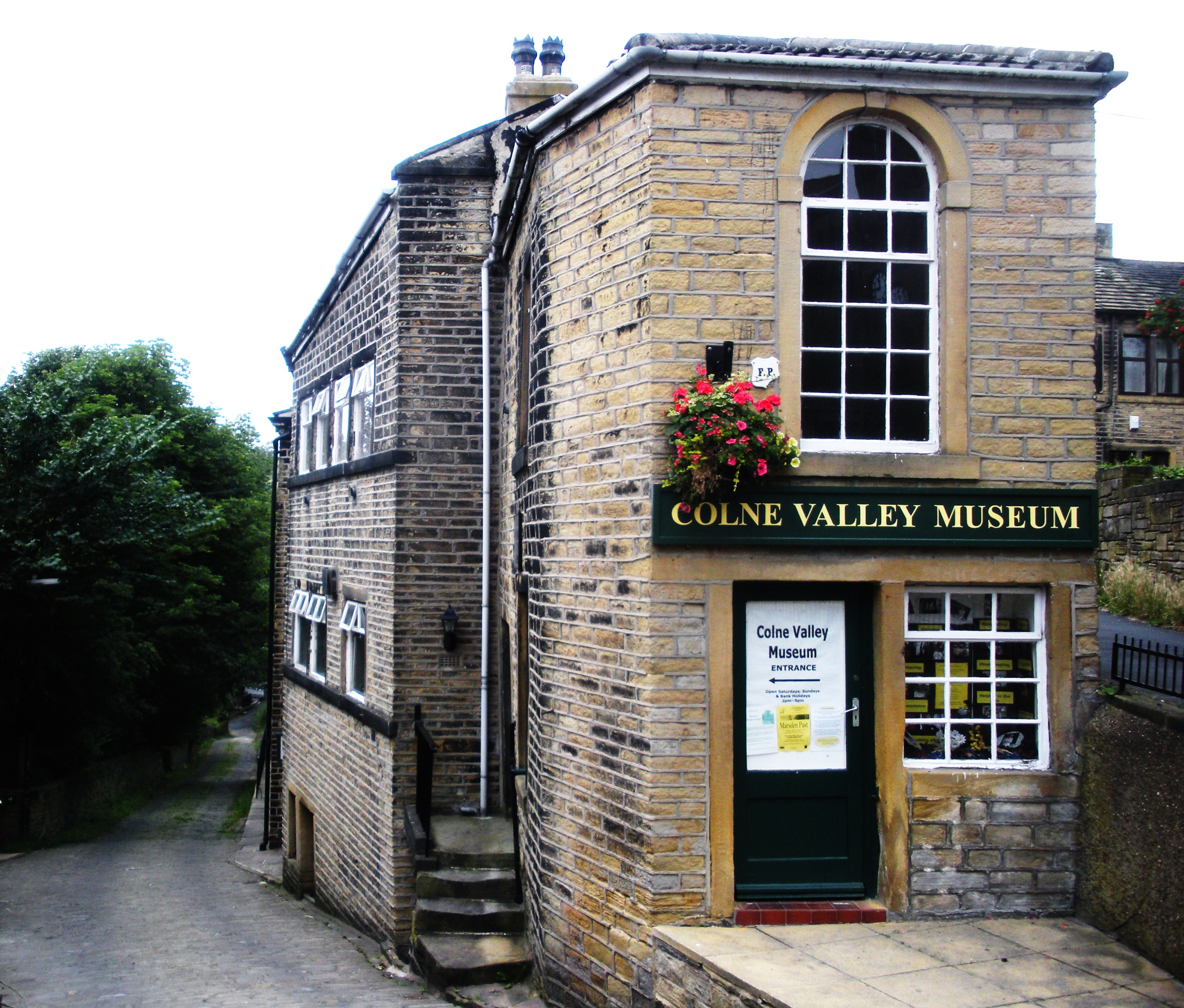
Colne Valley Museum

The Colne Valley Museum is located within the Colne Valley at Golcar, Huddersfield, West Yorkshire, England. The museum consists of four converted 19th...

Nearby Amenities

Located within 500m of 53.622113,-1.8506811
Linthwaite
Is In: West Yorkshire, England, UK
Place: village
Wikidata: Q11757617
Wikipedia: en:Linthwaite
Lat/Long: 53.6251799/-1.8483131
Fuel
Created By: Potlatch 0.10f
Lat/Long: 53.6254989/-1.8481577
Bus Stop
Linthwaite, Causeway Side / opposite Royd House Lane
Bus: yes
Local Ref: 45019340
Naptan AtcoCode: 450019340
Naptan Bearing: SW
Naptan CommonName: Causeway Side Hillside View
Naptan Crossing: Hillside View
Naptan Indicator: Stop 45019340
Naptan PlusbusZoneRef: LEEDS
Naptan ShortCommonName: Hillside View
Naptan Street: Causeway Side
Naptan Verified: no
Network: WY Metro
Operator: WY Metro
Public Transport: platform
Source: naptan_import
Lat/Long: 53.62389/-1.85027
Bus Stop
Waingate Waingate Park
Bus: yes
Local Ref: 45019342
Naptan AtcoCode: 450019342
Naptan Bearing: SW
Naptan CommonName: Waingate Waingate Park
Naptan Crossing: Waingate Park
Naptan Indicator: Stop 45019342
Naptan PlusbusZoneRef: LEEDS
Naptan ShortCommonName: Waingate Park
Naptan Street: Waingate
Naptan Verified: no
Public Transport: platform
Source: naptan_import
Lat/Long: 53.622585/-1.8548761
Bus Stop
Linthwaite, Hoyle House Fold / opposite Chapel Hill
Bus: yes
Local Ref: 45019344
Naptan AtcoCode: 450019344
Naptan Bearing: S
Naptan CommonName: Hoyle House Fold Causeway Side
Naptan Crossing: Causeway side
Naptan Indicator: Stop 45019344
Naptan PlusbusZoneRef: LEEDS
Naptan ShortCommonName: Causeway Side
Naptan Street: Hoyle House Fold
Naptan Verified: no
Network: WY Metro
Operator: WY Metro
Public Transport: platform
Source: naptan_import
Lat/Long: 53.623835/-1.8567414
Bus Stop
Linthwaite, Causeway Side / opposite Causeway Crescent
Bus: yes
Local Ref: 45019345
Naptan AtcoCode: 450019345
Naptan Bearing: W
Naptan CommonName: Causeway Side Causeway Crescent
Naptan Crossing: Causeway Crescent
Naptan Indicator: Stop 45019345
Naptan PlusbusZoneRef: LEEDS
Naptan ShortCommonName: Causeway Crescent
Naptan Street: Causeway Side
Naptan Verified: no
Network: WY Metro
Operator: WY Metro
Public Transport: platform
Source: naptan_import
Lat/Long: 53.623196/-1.8538364
Bus Stop
Linthwaite, Causeway Side / adjacent Causeway Crescent
Bus: yes
Local Ref: 45019346
Naptan AtcoCode: 450019346
Naptan Bearing: E
Naptan CommonName: Causeway Side Causeway Crescent
Naptan Crossing: Causeway Crescent
Naptan Indicator: Stop 45019346
Naptan PlusbusZoneRef: LEEDS
Naptan ShortCommonName: Causeway Crescent
Naptan Street: Causeway Side
Naptan Verified: no
Network: WY Metro
Operator: WY Metro
Public Transport: platform
Source: naptan_import
Lat/Long: 53.623251/-1.8536187
Bus Stop
Stones Lane Chapel Hill
Bus: yes
Local Ref: 45019347
Naptan AtcoCode: 450019347
Naptan Bearing: SW
Naptan CommonName: Stones Lane Chapel Hill
Naptan Crossing: Chapel Hill
Naptan Indicator: Stop 45019347
Naptan Landmark: Church
Naptan PlusbusZoneRef: LEEDS
Naptan ShortCommonName: Chapel Hill
Naptan Street: Stones Lane
Naptan Verified: no
Public Transport: platform
Source: naptan_import
Lat/Long: 53.6221192/-1.8575939
Bus Stop
Gillroyd Lane Moorland Close
Local Ref: 45019352
Naptan AtcoCode: 450019352
Naptan Bearing: SW
Naptan CommonName: Gillroyd Lane Moorland Close
Naptan Crossing: Moorland Close
Naptan Indicator: Stop 45019352
Naptan PlusbusZoneRef: LEEDS
Naptan ShortCommonName: Moorland Close
Naptan Street: Gillroyd Lane
Naptan Verified: no
Source: naptan_import
Lat/Long: 53.6203038/-1.8504792
Bus Stop
Gillroyd Lane Meadow Green
Bench: yes
Covered: yes
Lit: yes
Local Ref: 45019353
Naptan AtcoCode: 450019353
Naptan Bearing: NE
Naptan CommonName: Gillroyd Lane Meadow Green
Naptan Crossing: Meadow Green
Naptan Indicator: Stop 45019353
Naptan PlusbusZoneRef: LEEDS
Naptan ShortCommonName: Meadow Green
Naptan Street: Gillroyd Lane
Naptan Verified: no
Source: naptan_import
Lat/Long: 53.6203848/-1.8505696
Bus Stop
Gillroyd Lane Causeway Side
Bus: yes
Local Ref: 45019355
Naptan AtcoCode: 450019355
Naptan Bearing: N
Naptan CommonName: Gillroyd Lane Causeway Side
Naptan Crossing: Nr-At Causeway Side (Blackmoorfoot Side)
Naptan Indicator: Stop 45019355
Naptan Landmark: Colne Valley High School
Naptan PlusbusZoneRef: LEEDS
Naptan ShortCommonName: The Rock
Naptan Street: Gillroyd Lane
Naptan Verified: no
Public Transport: platform
Source: naptan_import
Lat/Long: 53.6226394/-1.849337
Bus Stop
Linthwaite, Gillroyd Lane / after Linthwaite Church
Bus: yes
Local Ref: 45019356
Naptan AtcoCode: 450019356
Naptan Bearing: SW
Naptan CommonName: Linthwaite Church Gillroyd Lane
Naptan Crossing: Church Lane
Naptan Indicator: Stop 45019356
Naptan Landmark: Linthwaite Church
Naptan PlusbusZoneRef: LEEDS
Naptan ShortCommonName: Ch Ln Linthwaite
Naptan Street: Gillroyd Lane
Naptan Verified: no
Network: WY Metro
Operator: WY Metro
Public Transport: platform
Source: naptan_import
Lat/Long: 53.6256911/-1.84738
Bus Stop
Gillroyd Lane Causeway Side
Bus: yes
Local Ref: 45024277
Naptan AtcoCode: 450024277
Naptan Bearing: S
Naptan CommonName: Gillroyd Lane Causeway Side
Naptan Crossing: Nr-Opp Causeway Side
Naptan Indicator: Stop 45024277
Naptan Landmark: Playing Fields
Naptan PlusbusZoneRef: LEEDS
Naptan ShortCommonName: Causeway Side
Naptan Street: Gillroyd Lane
Naptan Verified: no
Public Transport: platform
Source: naptan_import
Lat/Long: 53.622208/-1.8493839
Bus Stop
School Grounds Colne Valley High School
Bus: yes
Local Ref: 45025549
Naptan AtcoCode: 450025549
Naptan Bearing: SW
Naptan CommonName: School Grounds Colne Valley High School
Naptan Crossing: Gillroyd Lane
Naptan Indicator: Stop 45025549
Naptan Landmark: Colne Valley High School
Naptan PlusbusZoneRef: LEEDS
Naptan ShortCommonName: Colne Valley HS
Naptan Street: Colne Valley High School Grounds
Naptan Verified: no
Public Transport: platform
Source: naptan_import
Lat/Long: 53.6250993/-1.8470602
Bus Stop
School Grounds Colne Valley High School
Bus: yes
Local Ref: 45025550
Naptan AtcoCode: 450025550
Naptan Bearing: SW
Naptan CommonName: School Grounds Colne Valley High School
Naptan Crossing: Gillroyd Lane
Naptan Indicator: Stop 45025550
Naptan Landmark: Colne Valley High School
Naptan PlusbusZoneRef: LEEDS
Naptan ShortCommonName: Colne Valley HS
Naptan Street: Colne Valley High School Grounds
Naptan Verified: no
Public Transport: platform
Source: naptan_import
Lat/Long: 53.6249826/-1.8471665
Bus Stop
School Grounds Colne Valley High School
Bus: yes
Local Ref: 45025551
Naptan AtcoCode: 450025551
Naptan Bearing: SW
Naptan CommonName: School Grounds Colne Valley High School
Naptan Crossing: Gillroyd Lane
Naptan Indicator: Stop 45025551
Naptan Landmark: Colne Valley High School
Naptan PlusbusZoneRef: LEEDS
Naptan ShortCommonName: Colne Valley HS
Naptan Street: Colne Valley High School Grounds
Naptan Verified: no
Public Transport: platform
Source: naptan_import
Lat/Long: 53.6248659/-1.8472728
Bus Stop
School Grounds Colne Valley High School
Bus: yes
Local Ref: 45025552
Naptan AtcoCode: 450025552
Naptan Bearing: SW
Naptan CommonName: School Grounds Colne Valley High School
Naptan Crossing: Gillroyd Lane
Naptan Indicator: Stop 45025552
Naptan Landmark: Colne Valley High School
Naptan PlusbusZoneRef: LEEDS
Naptan ShortCommonName: Colne Valley HS
Naptan Street: Colne Valley High School Grounds
Naptan Verified: no
Public Transport: platform
Source: naptan_import
Lat/Long: 53.6247768/-1.8473766
Bus Stop
School Grounds Colne Valley High School
Bus: yes
Local Ref: 45025553
Naptan AtcoCode: 450025553
Naptan Bearing: SW
Naptan CommonName: School Grounds Colne Valley High School
Naptan Crossing: Gillroyd Lane
Naptan Indicator: Stop 45025553
Naptan Landmark: Colne Valley High School
Naptan PlusbusZoneRef: LEEDS
Naptan ShortCommonName: Colne Valley HS
Naptan Street: Colne Valley High School Grounds
Naptan Verified: no
Public Transport: platform
Source: naptan_import
Lat/Long: 53.6246684/-1.8474549
Bus Stop
School Grounds Colne Valley High School
Bus: yes
Local Ref: 45025554
Naptan AtcoCode: 450025554
Naptan Bearing: SW
Naptan CommonName: School Grounds Colne Valley High School
Naptan Crossing: Gillroyd Lane
Naptan Indicator: Stop 45025554
Naptan Landmark: Colne Valley High School
Naptan PlusbusZoneRef: LEEDS
Naptan ShortCommonName: Colne Valley HS
Naptan Street: Colne Valley High School Grounds
Naptan Verified: no
Public Transport: platform
Source: naptan_import
Lat/Long: 53.6251535/-1.8472112
Bus Stop
School Grounds Colne Valley High School
Bus: yes
Local Ref: 45025555
Naptan AtcoCode: 450025555
Naptan Bearing: SW
Naptan CommonName: School Grounds Colne Valley High School
Naptan Crossing: Gillroyd Lane
Naptan Indicator: Stop 45025555
Naptan Landmark: Colne Valley High School
Naptan PlusbusZoneRef: LEEDS
Naptan ShortCommonName: Colne Valley HS
Naptan Street: Colne Valley High School Grounds
Naptan Verified: no
Public Transport: platform
Source: naptan_import
Lat/Long: 53.6250457/-1.8473175
Bus Stop
School Grounds Colne Valley High School
Bus: yes
Local Ref: 45025556
Naptan AtcoCode: 450025556
Naptan Bearing: SW
Naptan CommonName: School Grounds Colne Valley High School
Naptan Crossing: Gillroyd Lane
Naptan Indicator: Stop 45025556
Naptan Landmark: Colne Valley High School
Naptan PlusbusZoneRef: LEEDS
Naptan ShortCommonName: Colne Valley HS
Naptan Street: Colne Valley High School Grounds
Naptan Verified: no
Public Transport: platform
Source: naptan_import
Lat/Long: 53.6249201/-1.8474389
Bus Stop
School Grounds Colne Valley High School
Bus: yes
Local Ref: 45025557
Naptan AtcoCode: 450025557
Naptan Bearing: SW
Naptan CommonName: School Grounds Colne Valley High School
Naptan Crossing: Gillroyd Lane
Naptan Indicator: Stop 45025557
Naptan Landmark: Colne Valley High School
Naptan PlusbusZoneRef: LEEDS
Naptan ShortCommonName: Colne Valley HS
Naptan Street: Colne Valley High School Grounds
Naptan Verified: no
Public Transport: platform
Source: naptan_import
Lat/Long: 53.6248303/-1.8475148
Bus Stop
School Grounds Colne Valley High School
Bus: yes
Local Ref: 45025558
Naptan AtcoCode: 450025558
Naptan Bearing: SW
Naptan CommonName: School Grounds Colne Valley High School
Naptan Crossing: Gillroyd Lane
Naptan Indicator: Stop 45025558
Naptan Landmark: Colne Valley High School
Naptan PlusbusZoneRef: LEEDS
Naptan ShortCommonName: Colne Valley HS
Naptan Street: Colne Valley High School Grounds
Naptan Verified: no
Public Transport: platform
Source: naptan_import
Lat/Long: 53.6247046/-1.8476211
Bus Stop
Linthwaite, Causewayside / at Royd House Lane
Bus: yes
Naptan AtcoCode: 450028701
Naptan Bearing: NE
Naptan BusStopType: CUS
Naptan CommonName: Royd House Lane
Naptan Crossing: Tommy Lane
Naptan Landmark: Unknown
Naptan PlusbusZoneRef: LEEDS
Naptan ShortCommonName: Royd House Lane
Naptan Street: Causewayside
Naptan Verified: no
Network: WY Metro
Operator: WY Metro
Public Transport: platform
Source: naptan_import
Lat/Long: 53.623998/-1.8503754
Stones Lane Church
Local Ref: 45050807
Naptan AtcoCode: 450050807
Naptan Bearing: NE
Naptan BusStopType: CUS
Naptan CommonName: Stones Lane Church
Naptan Indicator: Stop 45050807
Naptan PlusbusZoneRef: LEEDS
Naptan ShortCommonName: Chapel Hill
Naptan Street: Stones Lane
Naptan Verified: no
Source: naptan_import
Lat/Long: 53.6221912/-1.8576692
Place Of Worship
Linthwaite Methodist Church
Denomination: methodist
Religion: christian
Wikidata: Q26511708
Lat/Long: 53.6218364/-1.8576037
Turning Circle
Turning Circle: circle
Lat/Long: 53.6211686/-1.8530725
Turning Circle
Turning Circle: circle
Lat/Long: 53.6214713/-1.8538175
Bus Stop
Waingate The Ridgeways
Bus: yes
Local Ref: 45019341
Naptan AtcoCode: 450019341
Naptan Bearing: SW
Naptan CommonName: Waingate The Ridgeways
Naptan Crossing: The Ridgeways
Naptan Indicator: Stop 45019341
Naptan PlusbusZoneRef: LEEDS
Naptan ShortCommonName: The Ridgeways
Naptan Street: Waingate
Naptan Verified: no
Public Transport: platform
Source: naptan_import
Lat/Long: 53.6229027/-1.8529776
Kindergarten
Lat/Long: 53.6227728/-1.8539126
Barrier: stile
Bicycle: no
Description: with steps
Foot: designated
Horse: no
Material: stone
Motor Vehicle: no
Stile: squeezer
Lat/Long: 53.621333/-1.846098
Barrier: stile
Bicycle: no
Foot: designated
Horse: no
Motor Vehicle: no
Stile: squeezer
Lat/Long: 53.6208012/-1.8445859
Generator Method: photovoltaic
Generator Output Electricity: yes
Generator Source: solar
Generator Type: solar_photovoltaic_panel
Location: roof
Power: generator
Lat/Long: 53.6232097/-1.8545123
Generator Method: photovoltaic
Generator Output Electricity: yes
Generator Source: solar
Generator Type: solar_photovoltaic_panel
Location: roof
Power: generator
Lat/Long: 53.6223285/-1.8550527
Generator Method: photovoltaic
Generator Output Electricity: yes
Generator Source: solar
Generator Type: solar_photovoltaic_panel
Location: roof
Power: generator
Lat/Long: 53.6218534/-1.8541488
Generator Method: photovoltaic
Generator Output Electricity: yes
Generator Source: solar
Generator Type: solar_photovoltaic_panel
Location: roof
Power: generator
Lat/Long: 53.6218343/-1.853615
Generator Method: photovoltaic
Generator Output Electricity: yes
Generator Source: solar
Generator Type: solar_photovoltaic_panel
Location: roof
Power: generator
Lat/Long: 53.6213252/-1.8536633
Generator Method: photovoltaic
Generator Output Electricity: yes
Generator Source: solar
Generator Type: solar_photovoltaic_panel
Location: roof
Power: generator
Lat/Long: 53.6212059/-1.852687
Power: pole
Lat/Long: 53.6190042/-1.8456383
Power: pole
Lat/Long: 53.6194961/-1.8451851
Power: pole
Lat/Long: 53.6199779/-1.8447532
Power: pole
Lat/Long: 53.6193093/-1.8457909
Power: pole
Lat/Long: 53.6195207/-1.8446429
Power: pole
Lat/Long: 53.6191132/-1.8465053
Power: pole
Lat/Long: 53.6187924/-1.8476538
Power: pole
Lat/Long: 53.6185573/-1.8485464
Line Management: branch
Power: pole
Lat/Long: 53.6183256/-1.854104
Power: pole
Lat/Long: 53.6179391/-1.852882
Line Management: transition
Material: wood
Power: pole
Lat/Long: 53.6193461/-1.8559677
Power: pole
Lat/Long: 53.6186202/-1.8550496
Heights
Place: hamlet
Lat/Long: 53.6196291/-1.8500661
Bench
Backrest: yes
Direction: SE
Material: wood
Lat/Long: 53.6216538/-1.8475834
Waste Basket
Colour: black
Height: 1.1
Lat/Long: 53.6216451/-1.8468739
Fee: no
Vending: excrement_bags
Lat/Long: 53.6223999/-1.8492852
Barrier: bollard
Height: 0.7
Material: stone
Lat/Long: 53.6224172/-1.8492584
Barrier: swing_gate
Material: metal
Lat/Long: 53.6199547/-1.8508751
The Rock
Place: hamlet
Lat/Long: 53.6225471/-1.8494475
The data included in this document is from www.openstreetmap.org. The data is made available under ODbL.

Have you been to Hollins Green?

Leave your review of Hollins Green below (or comments, questions and feedback).