Clough

Settlement in Yorkshire

England

Clough

Approaching Lock 23E Slaithwaite
Approaching Lock 23E Slaithwaite Credit: SMJ

Clough is a small village located in the county of Yorkshire, England. Situated in the picturesque Ryedale district, Clough is nestled in the heart of the North York Moors National Park, offering visitors and residents breathtaking views of the surrounding countryside.

The village itself is characterized by its charming and idyllic atmosphere, with traditional stone cottages lining the narrow streets. Clough is known for its strong sense of community, with a close-knit population that takes pride in maintaining the village's heritage and preserving its natural beauty.

Nature enthusiasts are drawn to Clough due to its proximity to the North York Moors, which offers a variety of outdoor activities such as hiking, cycling, and birdwatching. The village is also home to several well-maintained walking trails, allowing visitors to explore the stunning landscapes at their own pace.

Despite its small size, Clough boasts a range of amenities to cater to the needs of its residents. These include a village shop, a pub, and a community center that hosts various events throughout the year. The village also has a primary school, providing education for the local children.

Clough's location within the North York Moors National Park means that it is a popular destination for tourists seeking tranquility and natural beauty. Visitors can enjoy the peaceful atmosphere, take in the stunning views, and experience the warm hospitality of the locals.

Overall, Clough is a charming village that offers a unique blend of natural beauty, community spirit, and rural tranquility. It is a place that continues to attract visitors who seek solace in its picturesque surroundings and welcoming atmosphere.

If you have any feedback on the listing, please let us know in the comments section below.
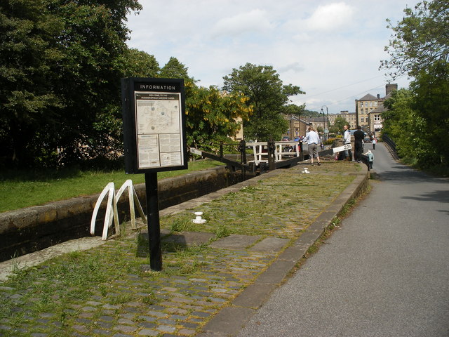
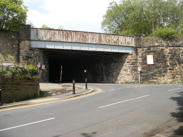
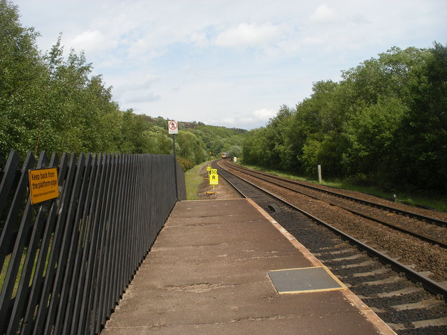
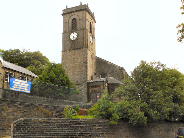
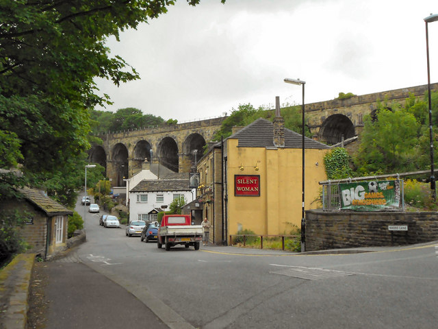
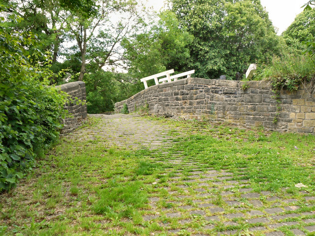
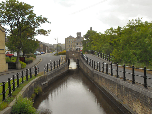
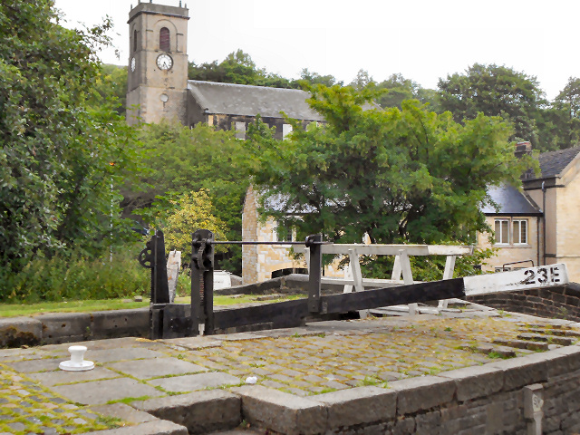
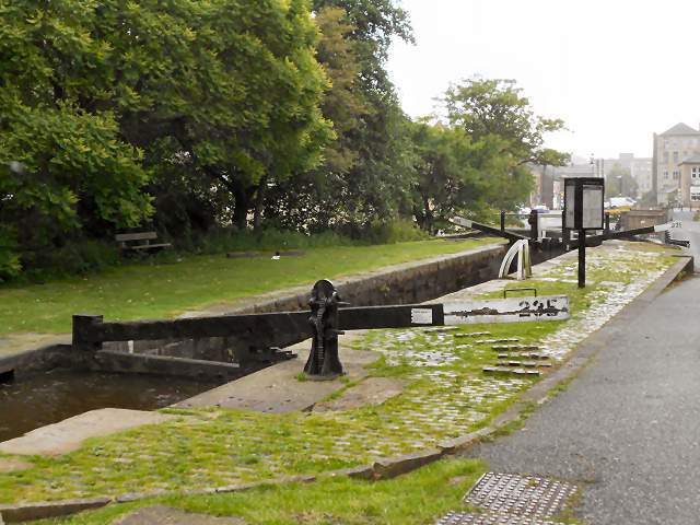
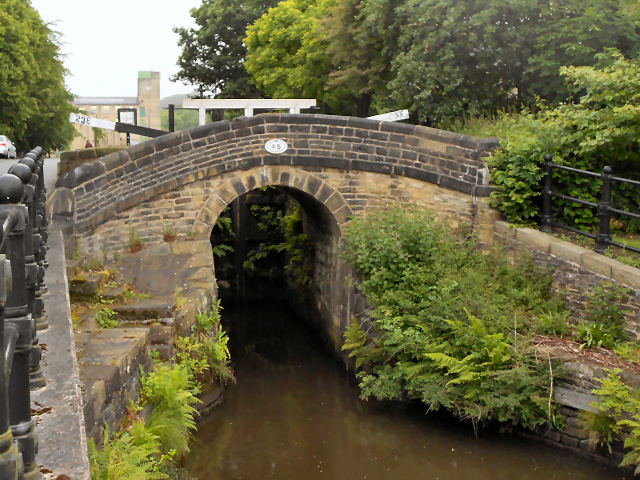
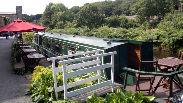
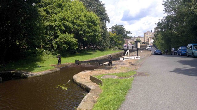
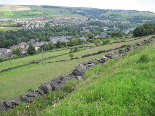
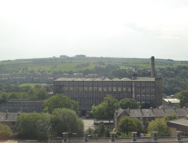
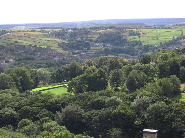
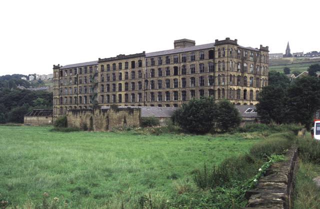
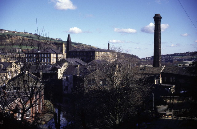
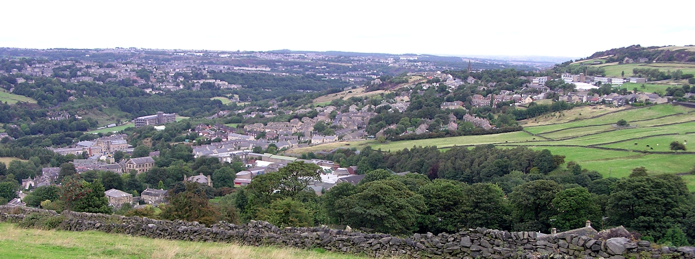
Clough Images

Images are sourced within 2km of 53.613475/-1.865434 or Grid Reference SE0913. Thanks to Geograph Open Source API. All images are credited.

Approaching Lock 23E Slaithwaite
Bridge near Slaithwaite Station
Looking east from Slaithwaite Station
Church of Saint James, Slaithwaite And Marsden St James' church was built by public subscription in 1796, replacing a 16th century chapel of  ease. It is a Grade II listed building (<span class="nowrap"><a title="http://www.britishlistedbuildings.co.uk/en-408960-church-of-saint-james-slaithwaite-and-ma" rel="nofollow ugc noopener" href="http://www.britishlistedbuildings.co.uk/en-408960-church-of-saint-james-slaithwaite-and-ma">Link</a><img style="margin-left:2px;" alt="External link" title="External link - shift click to open in new window" src="https://s1.geograph.org.uk/img/external.png" width="10" height="10"/></span> - British Listed Buildings)
Church of Saint James, Slaithwaite And Marsden
St James' church was built by public subscription in 1796, replacing a 16th century chapel of ease. It is a Grade II listed building (LinkExternal link - British Listed Buildings)
Silent Woman, Slaithwaite The Silent Woman public house on Nabbs Lane. Behind it is the railway viaduct.
Silent Woman, Slaithwaite
The Silent Woman public house on Nabbs Lane. Behind it is the railway viaduct.
Stone Bridge from Old Bank The stone footbridge over the Huddersfield Narrow Canal at Marsden.
Stone Bridge from Old Bank
The stone footbridge over the Huddersfield Narrow Canal at Marsden.
Huddersfield Narrow Canal, Slaithwaite Restored section of the canal, once filled in at this point. Views of the early stages of the restoration work, in 2000, may be seen at <a href="https://www.geograph.org.uk/photo/3119112">SE0713 : Huddersfield Narrow Canal, restoration works below Lock 23E (1)</a> and <a href="https://www.geograph.org.uk/photo/3119090">SE0713 : Huddersfield Narrow Canal, restoration works below Lock 23E (2)</a>.
Huddersfield Narrow Canal, Slaithwaite
Restored section of the canal, once filled in at this point. Views of the early stages of the restoration work, in 2000, may be seen at SE0713 : Huddersfield Narrow Canal, restoration works below Lock 23E (1) and SE0713 : Huddersfield Narrow Canal, restoration works below Lock 23E (2).
Lock and Church, Slaithwaite Lock 23E on the Huddersfield Narrow Canal, with <a href="https://www.geograph.org.uk/photo/2464983">SE0714 : Church of Saint James, Slaithwaite And Marsden</a> in the background.
Lock and Church, Slaithwaite
Lock 23E on the Huddersfield Narrow Canal, with SE0714 : Church of Saint James, Slaithwaite And Marsden in the background.
Huddersfield Narrow Canal, Lock 23E Lock 23E on the Huddersfield Narrow Canal at Slaithwaite.A view of this lock prior to restoration can be seen at <a href="https://www.geograph.org.uk/photo/3118677">SE0713 : Huddersfield Narrow Canal - Lock 23E before restoration</a>.

<span class="nowrap"><a title="http://www.huddersfieldcanal.com" rel="nofollow ugc noopener" href="http://www.huddersfieldcanal.com">Link</a><img style="margin-left:2px;" alt="External link" title="External link - shift click to open in new window" src="https://s1.geograph.org.uk/img/external.png" width="10" height="10"/></span> - Huddersfield Canal Society
<span class="nowrap"><a title="http://www.canaljunction.com/canal/huddersfield_narrow.htm" rel="nofollow ugc noopener" href="http://www.canaljunction.com/canal/huddersfield_narrow.htm">Link</a><img style="margin-left:2px;" alt="External link" title="External link - shift click to open in new window" src="https://s1.geograph.org.uk/img/external.png" width="10" height="10"/></span> - CanalJunction.com
Huddersfield Narrow Canal, Lock 23E
Lock 23E on the Huddersfield Narrow Canal at Slaithwaite.A view of this lock prior to restoration can be seen at SE0713 : Huddersfield Narrow Canal - Lock 23E before restoration. LinkExternal link - Huddersfield Canal Society LinkExternal link - CanalJunction.com
Huddersfield Narrow Canal, Bridge 45 at Slaithwaite Bridge number 45 on the Huddersfield Narrow Canal at Slaithwaite. A view of the bridge prior to restoration of the canal and lock can be seen at <a href="https://www.geograph.org.uk/photo/3118693">SE0713 : Huddersfield Narrow Canal, Lock 23E - Before canal restoration</a>.

<span class="nowrap"><a title="http://www.huddersfieldcanal.com" rel="nofollow ugc noopener" href="http://www.huddersfieldcanal.com">Link</a><img style="margin-left:2px;" alt="External link" title="External link - shift click to open in new window" src="https://s1.geograph.org.uk/img/external.png" width="10" height="10"/></span> - Huddersfield Canal Society
<span class="nowrap"><a title="http://www.canaljunction.com/canal/huddersfield_narrow.htm" rel="nofollow ugc noopener" href="http://www.canaljunction.com/canal/huddersfield_narrow.htm">Link</a><img style="margin-left:2px;" alt="External link" title="External link - shift click to open in new window" src="https://s1.geograph.org.uk/img/external.png" width="10" height="10"/></span> - CanalJunction.com
Huddersfield Narrow Canal, Bridge 45 at Slaithwaite
Bridge number 45 on the Huddersfield Narrow Canal at Slaithwaite. A view of the bridge prior to restoration of the canal and lock can be seen at SE0713 : Huddersfield Narrow Canal, Lock 23E - Before canal restoration. LinkExternal link - Huddersfield Canal Society LinkExternal link - CanalJunction.com
Tea Barge at Slaithwaite
Locks at Slaithwaite Lock 23E after restoration - a view of this lock before it was restored can be seen at <a href="https://www.geograph.org.uk/photo/3118677">SE0713 : Huddersfield Narrow Canal - Lock 23E before restoration</a>.
Locks at Slaithwaite
Lock 23E after restoration - a view of this lock before it was restored can be seen at SE0713 : Huddersfield Narrow Canal - Lock 23E before restoration.
Footpath towards Broadfield Farm near Slaithwaite
Towards Slaithwaite
Towards Slaithwaite
Mills in New Street Slaithwaite From railway
Mills in New Street Slaithwaite
From railway
Golcar - view to Linthwaite Across the Colne Valley.
Golcar - view to Linthwaite
Across the Colne Valley.
Titanic Mill This textile mill was built in 1912 and was hence known as Titanic Mill. It was lying derelict and unloved when I photographed it in 2002 but it has since been converted in to apartments and the photograph here <a href="https://www.geograph.org.uk/photo/2194713">SE0914 : Titanic Mill</a> was taken from practically the same location. In some ways I prefer the earlier photograph.
Titanic Mill
This textile mill was built in 1912 and was hence known as Titanic Mill. It was lying derelict and unloved when I photographed it in 2002 but it has since been converted in to apartments and the photograph here SE0914 : Titanic Mill was taken from practically the same location. In some ways I prefer the earlier photograph.
Slaithwaite Archetypal Yorkshire mill town in the Colne Valley. Photographer position is best fit.
Slaithwaite
Archetypal Yorkshire mill town in the Colne Valley. Photographer position is best fit.
Show me another place!

Clough is located at Grid Ref: SE0913 (Lat: 53.613475, Lng: -1.865434)

Division: West Riding

Unitary Authority: Kirklees

Police Authority: West Yorkshire

What 3 Words

///encounter.vines.amplifier. Near Blackmoorfoot, West Yorkshire

Related Wikis

Colne Valley (UK Parliament constituency)

Colne Valley is a constituency represented in the House of Commons of the UK Parliament since 2019 by Jason McCartney of the Conservative Party. ��2�...

Slaithwaite

Slaithwaite (, locally 'Slaithwaite' ; Old Norse for "timber-fell thwaite/clearing") is a town and former civil parish in the Colne Valley area of the...

Helme, West Yorkshire

Helme is a small village in the Kirklees district, in the county of West Yorkshire, England. It is near the town of Meltham and Blackmoorfoot Reservoir...

Slaithwaite Town Hall

Slaithwaite Town Hall, also known as Empire House is a former municipal building in Lewisham Road in the town of Slaithwaite, West Yorkshire, England....

Colne Valley

The Colne Valley is a steep sided valley on the east flank of the Pennine Hills in the English county of West Yorkshire. It takes its name from the River...

Slaithwaite railway station

Slaithwaite railway station serves the town of Slaithwaite, West Yorkshire, England. The station is 4 miles (6 km) west of Huddersfield railway station...

Colne Valley High School

Colne Valley High School is a mixed secondary school in the village of Linthwaite, Huddersfield, West Yorkshire, England. It is named thus because it exists...

Linthwaite

Linthwaite (known as Linfit in the local community) is a village in Kirklees, West Yorkshire, England. Historically part of the West Riding of Yorkshire...

Nearby Amenities

Located within 500m of 53.613475,-1.865434
Barrier: yes
Lat/Long: 53.617499/-1.8675496
Power: pole
Lat/Long: 53.6097498/-1.8679256
Power: pole
Lat/Long: 53.6105127/-1.8682781
Power: pole
Lat/Long: 53.611264/-1.8686159
Power: pole
Lat/Long: 53.6119594/-1.8689472
Line Management: branch
Power: pole
Lat/Long: 53.6127614/-1.8693227
Power: pole
Lat/Long: 53.6128293/-1.8678643
Power: pole
Lat/Long: 53.612907/-1.8666935
Power: pole
Lat/Long: 53.6129883/-1.8656244
Power: pole
Lat/Long: 53.6130651/-1.8645306
Power: pole
Lat/Long: 53.6131656/-1.8630995
Power: pole
Lat/Long: 53.613268/-1.8615328
Power: pole
Lat/Long: 53.6126147/-1.8703563
Power: pole
Lat/Long: 53.6124635/-1.8713721
Power: pole
Lat/Long: 53.6122651/-1.8726444
Barrier: stile
Material: stone
Stile: stepover
Width: 0.3
Lat/Long: 53.6134603/-1.8684332
Barrier: stile
Material: wood
Stile: stepover
Lat/Long: 53.614257/-1.8697422
Barrier: stile
Height: 0.6
Material: wood
Note: No platform, so only knee height
Stile: stepover
Lat/Long: 53.6141847/-1.8695692
Barrier: stile
Material: wood
Stile: stepover
Lat/Long: 53.6153704/-1.871537
The data included in this document is from www.openstreetmap.org. The data is made available under ODbL.

Have you been to Clough?

Leave your review of Clough below (or comments, questions and feedback).