Lower Clough

Settlement in Yorkshire

England

Lower Clough

Bridge near Slaithwaite Station
Bridge near Slaithwaite Station Credit: SMJ

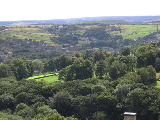
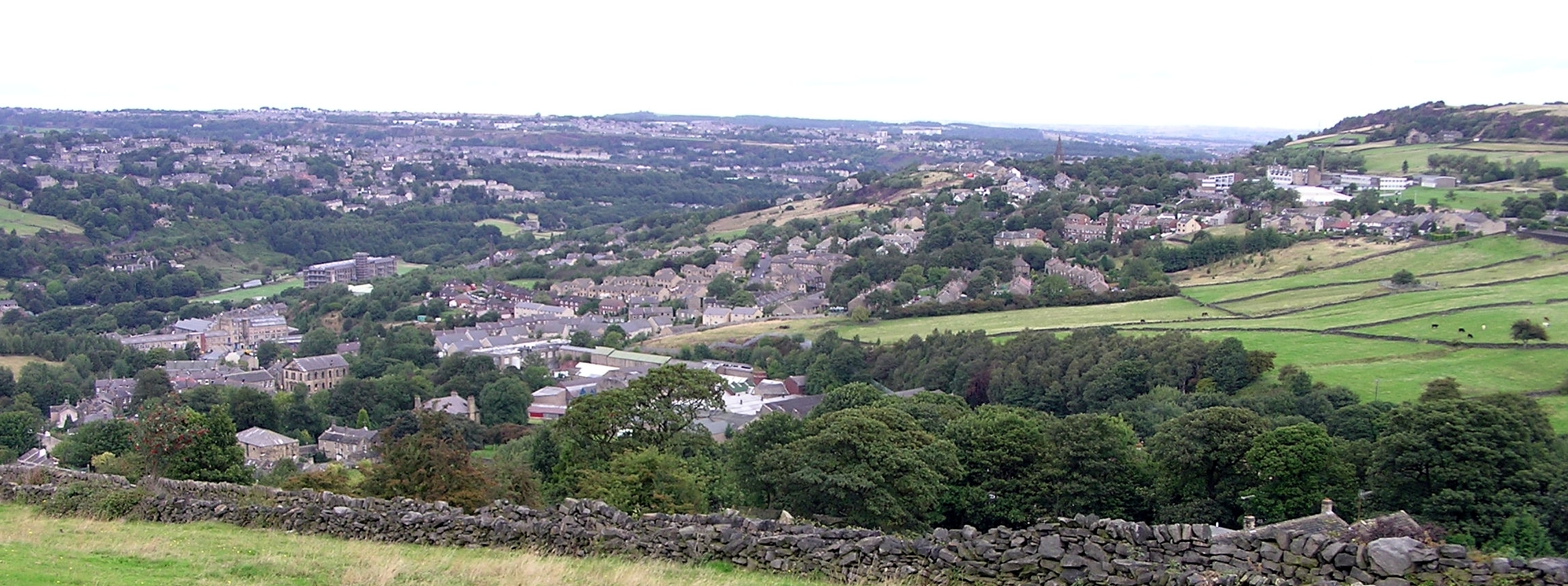
Lower Clough is a small village located in the picturesque region of Yorkshire, England. Situated amidst the rolling hills and verdant landscapes, this tranquil hamlet offers a serene escape from the bustling city life. With a population of approximately 500 residents, Lower Clough exudes a sense of close-knit community and traditional charm.

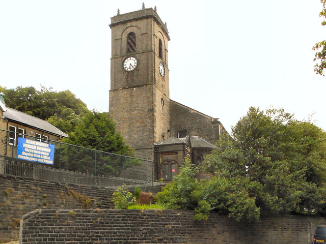
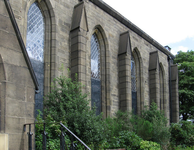
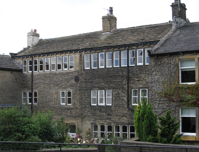
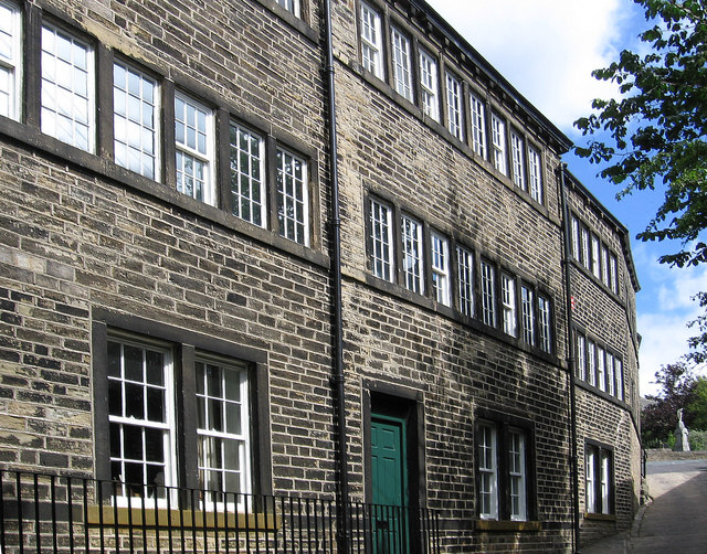
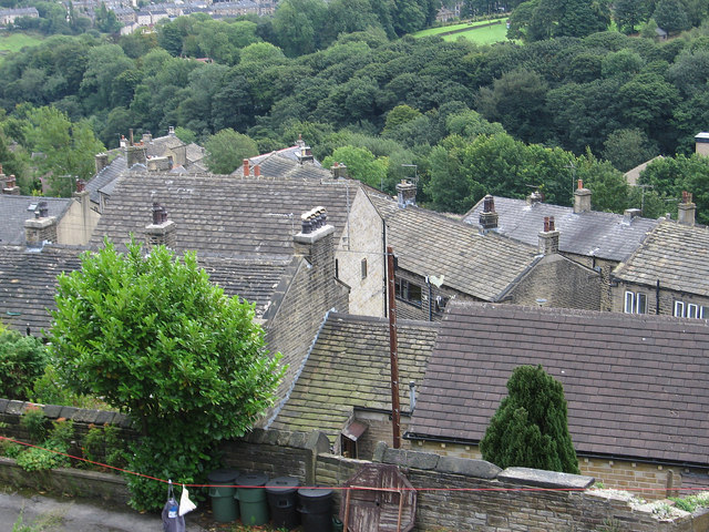
The village is characterized by its quaint stone houses and narrow winding lanes, which give it a timeless appeal. The centerpiece of Lower Clough is its historic church, St. Mary's, which dates back to the 12th century and showcases stunning architectural features. The church holds regular services and is a gathering place for locals during festivals and events.

Surrounded by lush meadows and farmland, Lower Clough offers ample opportunities for outdoor activities and exploration. The village is situated near the Yorkshire Dales National Park, allowing residents and visitors to enjoy hiking, cycling, and nature walks amidst breathtaking scenery. The nearby River Wharfe provides opportunities for fishing and boating, adding to the recreational options available.

Despite its small size, Lower Clough boasts a vibrant community spirit, with various social and cultural events taking place throughout the year. The village is home to a community center, which serves as a hub for gatherings and activities. Additionally, there are a few local shops and a traditional pub, where locals and visitors can socialize and enjoy a hearty meal.

Lower Clough offers a peaceful and idyllic lifestyle, making it an attractive destination for those seeking a slower pace of life surrounded by the beauty of the Yorkshire countryside.

If you have any feedback on the listing, please let us know in the comments section below.
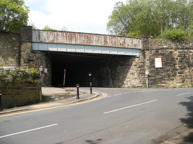
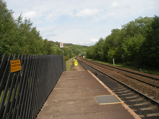
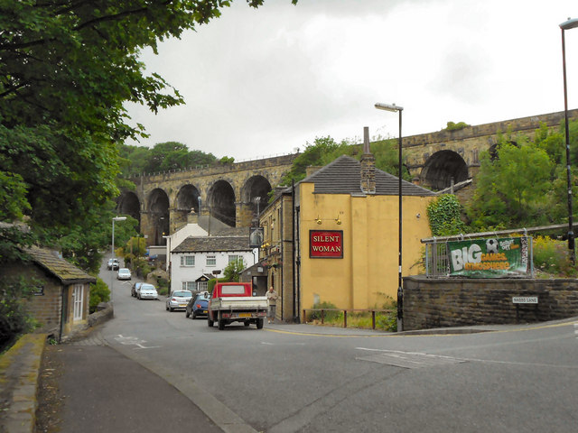
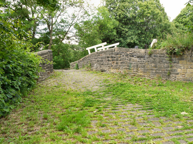
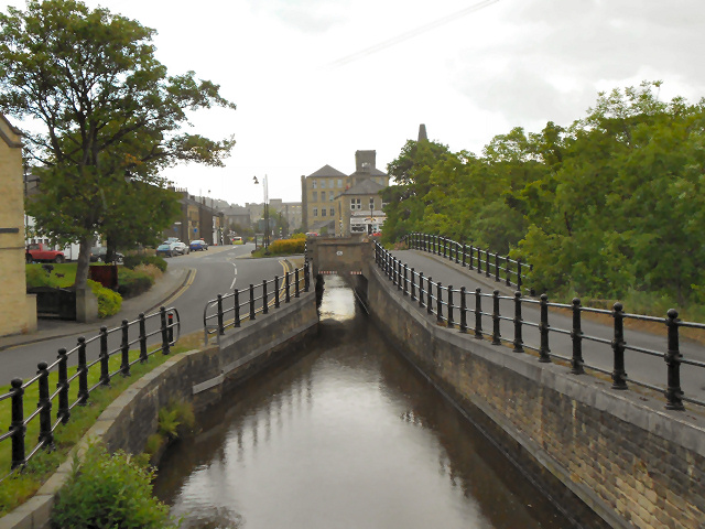
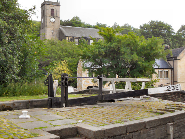
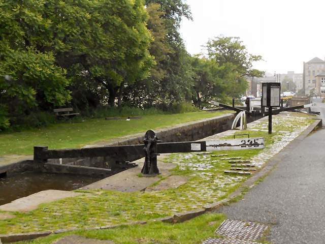
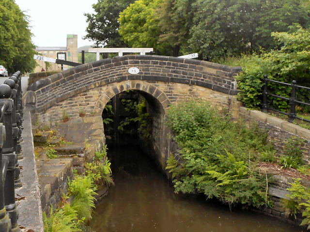
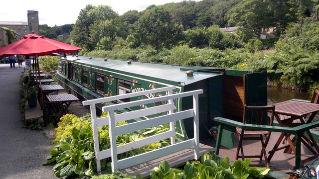
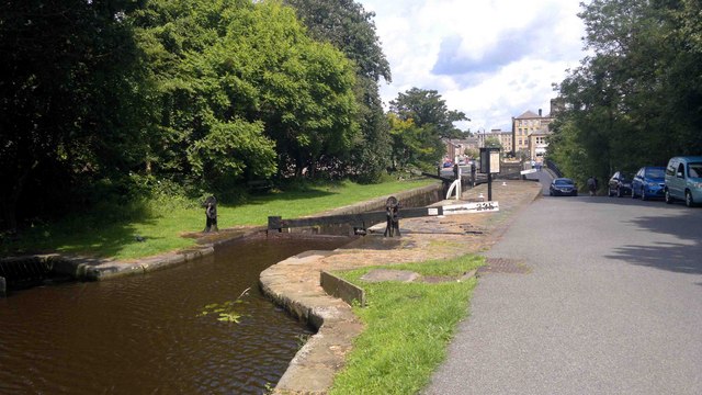
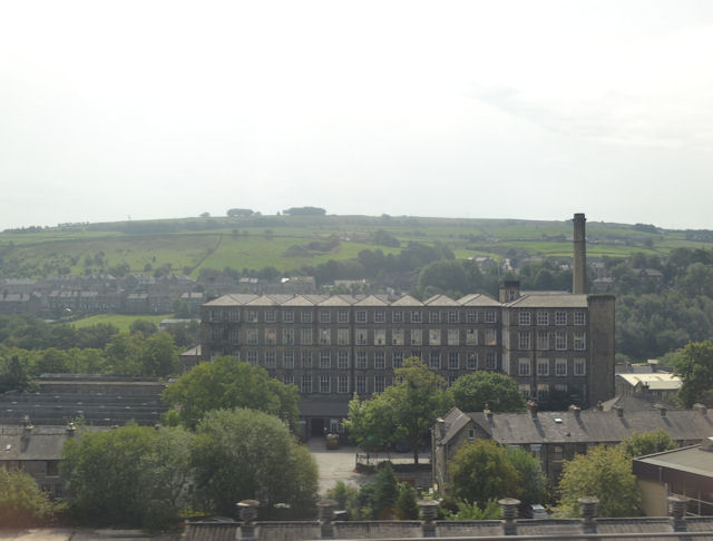
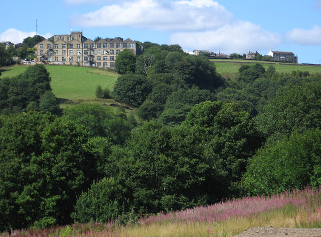
Lower Clough Images

Images are sourced within 2km of 53.622397/-1.855125 or Grid Reference SE0913. Thanks to Geograph Open Source API. All images are credited.

Bridge near Slaithwaite Station
Looking east from Slaithwaite Station
Church of Saint James, Slaithwaite And Marsden St James' church was built by public subscription in 1796, replacing a 16th century chapel of  ease. It is a Grade II listed building (<span class="nowrap"><a title="http://www.britishlistedbuildings.co.uk/en-408960-church-of-saint-james-slaithwaite-and-ma" rel="nofollow ugc noopener" href="http://www.britishlistedbuildings.co.uk/en-408960-church-of-saint-james-slaithwaite-and-ma">Link</a><img style="margin-left:2px;" alt="External link" title="External link - shift click to open in new window" src="https://s1.geograph.org.uk/img/external.png" width="10" height="10"/></span> - British Listed Buildings)
Church of Saint James, Slaithwaite And Marsden
St James' church was built by public subscription in 1796, replacing a 16th century chapel of ease. It is a Grade II listed building (LinkExternal link - British Listed Buildings)
Silent Woman, Slaithwaite The Silent Woman public house on Nabbs Lane. Behind it is the railway viaduct.
Silent Woman, Slaithwaite
The Silent Woman public house on Nabbs Lane. Behind it is the railway viaduct.
Stone Bridge from Old Bank The stone footbridge over the Huddersfield Narrow Canal at Marsden.
Stone Bridge from Old Bank
The stone footbridge over the Huddersfield Narrow Canal at Marsden.
Huddersfield Narrow Canal, Slaithwaite Restored section of the canal, once filled in at this point. Views of the early stages of the restoration work, in 2000, may be seen at <a href="https://www.geograph.org.uk/photo/3119112">SE0713 : Huddersfield Narrow Canal, restoration works below Lock 23E (1)</a> and <a href="https://www.geograph.org.uk/photo/3119090">SE0713 : Huddersfield Narrow Canal, restoration works below Lock 23E (2)</a>.
Huddersfield Narrow Canal, Slaithwaite
Restored section of the canal, once filled in at this point. Views of the early stages of the restoration work, in 2000, may be seen at SE0713 : Huddersfield Narrow Canal, restoration works below Lock 23E (1) and SE0713 : Huddersfield Narrow Canal, restoration works below Lock 23E (2).
Lock and Church, Slaithwaite Lock 23E on the Huddersfield Narrow Canal, with <a href="https://www.geograph.org.uk/photo/2464983">SE0714 : Church of Saint James, Slaithwaite And Marsden</a> in the background.
Lock and Church, Slaithwaite
Lock 23E on the Huddersfield Narrow Canal, with SE0714 : Church of Saint James, Slaithwaite And Marsden in the background.
Huddersfield Narrow Canal, Lock 23E Lock 23E on the Huddersfield Narrow Canal at Slaithwaite.A view of this lock prior to restoration can be seen at <a href="https://www.geograph.org.uk/photo/3118677">SE0713 : Huddersfield Narrow Canal - Lock 23E before restoration</a>.

<span class="nowrap"><a title="http://www.huddersfieldcanal.com" rel="nofollow ugc noopener" href="http://www.huddersfieldcanal.com">Link</a><img style="margin-left:2px;" alt="External link" title="External link - shift click to open in new window" src="https://s1.geograph.org.uk/img/external.png" width="10" height="10"/></span> - Huddersfield Canal Society
<span class="nowrap"><a title="http://www.canaljunction.com/canal/huddersfield_narrow.htm" rel="nofollow ugc noopener" href="http://www.canaljunction.com/canal/huddersfield_narrow.htm">Link</a><img style="margin-left:2px;" alt="External link" title="External link - shift click to open in new window" src="https://s1.geograph.org.uk/img/external.png" width="10" height="10"/></span> - CanalJunction.com
Huddersfield Narrow Canal, Lock 23E
Lock 23E on the Huddersfield Narrow Canal at Slaithwaite.A view of this lock prior to restoration can be seen at SE0713 : Huddersfield Narrow Canal - Lock 23E before restoration. LinkExternal link - Huddersfield Canal Society LinkExternal link - CanalJunction.com
Huddersfield Narrow Canal, Bridge 45 at Slaithwaite Bridge number 45 on the Huddersfield Narrow Canal at Slaithwaite. A view of the bridge prior to restoration of the canal and lock can be seen at <a href="https://www.geograph.org.uk/photo/3118693">SE0713 : Huddersfield Narrow Canal, Lock 23E - Before canal restoration</a>.

<span class="nowrap"><a title="http://www.huddersfieldcanal.com" rel="nofollow ugc noopener" href="http://www.huddersfieldcanal.com">Link</a><img style="margin-left:2px;" alt="External link" title="External link - shift click to open in new window" src="https://s1.geograph.org.uk/img/external.png" width="10" height="10"/></span> - Huddersfield Canal Society
<span class="nowrap"><a title="http://www.canaljunction.com/canal/huddersfield_narrow.htm" rel="nofollow ugc noopener" href="http://www.canaljunction.com/canal/huddersfield_narrow.htm">Link</a><img style="margin-left:2px;" alt="External link" title="External link - shift click to open in new window" src="https://s1.geograph.org.uk/img/external.png" width="10" height="10"/></span> - CanalJunction.com
Huddersfield Narrow Canal, Bridge 45 at Slaithwaite
Bridge number 45 on the Huddersfield Narrow Canal at Slaithwaite. A view of the bridge prior to restoration of the canal and lock can be seen at SE0713 : Huddersfield Narrow Canal, Lock 23E - Before canal restoration. LinkExternal link - Huddersfield Canal Society LinkExternal link - CanalJunction.com
Tea Barge at Slaithwaite
Locks at Slaithwaite Lock 23E after restoration - a view of this lock before it was restored can be seen at <a href="https://www.geograph.org.uk/photo/3118677">SE0713 : Huddersfield Narrow Canal - Lock 23E before restoration</a>.
Locks at Slaithwaite
Lock 23E after restoration - a view of this lock before it was restored can be seen at SE0713 : Huddersfield Narrow Canal - Lock 23E before restoration.
Mills in New Street Slaithwaite From railway
Mills in New Street Slaithwaite
From railway
Golcar - Heath House Mill From Carr Top Lane.  For an alternative view, please see <a href="https://www.geograph.org.uk/photo/2194619">SE0915 : Heath House Mill, Golcar</a>.
Golcar - Heath House Mill
From Carr Top Lane. For an alternative view, please see SE0915 : Heath House Mill, Golcar.
Golcar - St John's Parish Church
Golcar - weavers cottages on Town End
Golcar - Colne Valley Museum
Golcar - view to Linthwaite Across the Colne Valley.
Golcar - view to Linthwaite
Across the Colne Valley.
Golcar - rooftops on Carr Top Lane
Show me another place!

Lower Clough is located at Grid Ref: SE0913 (Lat: 53.622397, Lng: -1.855125)

Division: West Riding

Unitary Authority: Kirklees

Police Authority: West Yorkshire

What 3 Words

///guests.freezing.coasted. Near Linthwaite, West Yorkshire

Related Wikis

Colne Valley (UK Parliament constituency)

Colne Valley is a constituency represented in the House of Commons of the UK Parliament since 2019 by Jason McCartney of the Conservative Party. ��2�...

Colne Valley High School

Colne Valley High School is a mixed secondary school in the village of Linthwaite, Huddersfield, West Yorkshire, England. It is named thus because it exists...

Colne Valley

The Colne Valley is a steep sided valley on the east flank of the Pennine Hills in the English county of West Yorkshire. It takes its name from the River...

Linthwaite

Linthwaite (known as Linfit in the local community) is a village in Kirklees, West Yorkshire, England. Historically part of the West Riding of Yorkshire...

Golcar railway station

Golcar railway station is a former railway station serving Golcar in West Yorkshire, England that was located between the existing Huddersfield and Slaithwaite...

Slaithwaite

Slaithwaite (, locally 'Slaithwaite' ; Old Norse for "timber-fell thwaite/clearing") is a town and former civil parish in the Colne Valley area of the...

Slaithwaite Town Hall

Slaithwaite Town Hall, also known as Empire House is a former municipal building in Lewisham Road in the town of Slaithwaite, West Yorkshire, England....

Slaithwaite railway station

Slaithwaite railway station serves the town of Slaithwaite, West Yorkshire, England. The station is 4 miles (6 km) west of Huddersfield railway station...

Nearby Amenities

Located within 500m of 53.622397,-1.855125
Bus Stop
Linthwaite, Causeway Side / opposite Royd House Lane
Bus: yes
Local Ref: 45019340
Naptan AtcoCode: 450019340
Naptan Bearing: SW
Naptan CommonName: Causeway Side Hillside View
Naptan Crossing: Hillside View
Naptan Indicator: Stop 45019340
Naptan PlusbusZoneRef: LEEDS
Naptan ShortCommonName: Hillside View
Naptan Street: Causeway Side
Naptan Verified: no
Network: WY Metro
Operator: WY Metro
Public Transport: platform
Source: naptan_import
Lat/Long: 53.62389/-1.85027
Bus Stop
Waingate Waingate Park
Bus: yes
Local Ref: 45019342
Naptan AtcoCode: 450019342
Naptan Bearing: SW
Naptan CommonName: Waingate Waingate Park
Naptan Crossing: Waingate Park
Naptan Indicator: Stop 45019342
Naptan PlusbusZoneRef: LEEDS
Naptan ShortCommonName: Waingate Park
Naptan Street: Waingate
Naptan Verified: no
Public Transport: platform
Source: naptan_import
Lat/Long: 53.622585/-1.8548761
Bus Stop
Linthwaite, Hoyle House Fold / after Chapel Hill
Bus: yes
Local Ref: 45019343
Naptan AtcoCode: 450019343
Naptan Bearing: NW
Naptan CommonName: Hoyle House Fold Chapel Hill
Naptan Crossing: Chapel Hill
Naptan Indicator: Stop 45019343
Naptan Landmark: Business Park
Naptan PlusbusZoneRef: LEEDS
Naptan ShortCommonName: Chapel Hill
Naptan Street: Hoyle House Fold
Naptan Verified: no
Network: WY Metro
Operator: WY Metro
Public Transport: platform
Source: naptan_import
Lat/Long: 53.6243033/-1.8575412
Bus Stop
Linthwaite, Hoyle House Fold / opposite Chapel Hill
Bus: yes
Local Ref: 45019344
Naptan AtcoCode: 450019344
Naptan Bearing: S
Naptan CommonName: Hoyle House Fold Causeway Side
Naptan Crossing: Causeway side
Naptan Indicator: Stop 45019344
Naptan PlusbusZoneRef: LEEDS
Naptan ShortCommonName: Causeway Side
Naptan Street: Hoyle House Fold
Naptan Verified: no
Network: WY Metro
Operator: WY Metro
Public Transport: platform
Source: naptan_import
Lat/Long: 53.623835/-1.8567414
Bus Stop
Linthwaite, Causeway Side / opposite Causeway Crescent
Bus: yes
Local Ref: 45019345
Naptan AtcoCode: 450019345
Naptan Bearing: W
Naptan CommonName: Causeway Side Causeway Crescent
Naptan Crossing: Causeway Crescent
Naptan Indicator: Stop 45019345
Naptan PlusbusZoneRef: LEEDS
Naptan ShortCommonName: Causeway Crescent
Naptan Street: Causeway Side
Naptan Verified: no
Network: WY Metro
Operator: WY Metro
Public Transport: platform
Source: naptan_import
Lat/Long: 53.623196/-1.8538364
Bus Stop
Linthwaite, Causeway Side / adjacent Causeway Crescent
Bus: yes
Local Ref: 45019346
Naptan AtcoCode: 450019346
Naptan Bearing: E
Naptan CommonName: Causeway Side Causeway Crescent
Naptan Crossing: Causeway Crescent
Naptan Indicator: Stop 45019346
Naptan PlusbusZoneRef: LEEDS
Naptan ShortCommonName: Causeway Crescent
Naptan Street: Causeway Side
Naptan Verified: no
Network: WY Metro
Operator: WY Metro
Public Transport: platform
Source: naptan_import
Lat/Long: 53.623251/-1.8536187
Bus Stop
Stones Lane Chapel Hill
Bus: yes
Local Ref: 45019347
Naptan AtcoCode: 450019347
Naptan Bearing: SW
Naptan CommonName: Stones Lane Chapel Hill
Naptan Crossing: Chapel Hill
Naptan Indicator: Stop 45019347
Naptan Landmark: Church
Naptan PlusbusZoneRef: LEEDS
Naptan ShortCommonName: Chapel Hill
Naptan Street: Stones Lane
Naptan Verified: no
Public Transport: platform
Source: naptan_import
Lat/Long: 53.6221192/-1.8575939
Bus Stop
Upper Clough Road Clough Drive
Local Ref: 45019349
Naptan AtcoCode: 450019349
Naptan Bearing: SE
Naptan CommonName: Upper Clough Road Clough Drive
Naptan Crossing: Clough Drive
Naptan Indicator: Stop 45019349
Naptan Landmark: Adj Small Reservoir
Naptan PlusbusZoneRef: LEEDS
Naptan ShortCommonName: Upper Clough Road
Naptan Street: Upper Clough Road
Naptan Verified: no
Source: naptan_import
Lat/Long: 53.6182714/-1.8570323
Bus Stop
Gillroyd Lane Moorland Close
Local Ref: 45019352
Naptan AtcoCode: 450019352
Naptan Bearing: SW
Naptan CommonName: Gillroyd Lane Moorland Close
Naptan Crossing: Moorland Close
Naptan Indicator: Stop 45019352
Naptan PlusbusZoneRef: LEEDS
Naptan ShortCommonName: Moorland Close
Naptan Street: Gillroyd Lane
Naptan Verified: no
Source: naptan_import
Lat/Long: 53.6203038/-1.8504792
Bus Stop
Gillroyd Lane Meadow Green
Bench: yes
Covered: yes
Lit: yes
Local Ref: 45019353
Naptan AtcoCode: 450019353
Naptan Bearing: NE
Naptan CommonName: Gillroyd Lane Meadow Green
Naptan Crossing: Meadow Green
Naptan Indicator: Stop 45019353
Naptan PlusbusZoneRef: LEEDS
Naptan ShortCommonName: Meadow Green
Naptan Street: Gillroyd Lane
Naptan Verified: no
Source: naptan_import
Lat/Long: 53.6203848/-1.8505696
Bus Stop
Gillroyd Lane Causeway Side
Bus: yes
Local Ref: 45019355
Naptan AtcoCode: 450019355
Naptan Bearing: N
Naptan CommonName: Gillroyd Lane Causeway Side
Naptan Crossing: Nr-At Causeway Side (Blackmoorfoot Side)
Naptan Indicator: Stop 45019355
Naptan Landmark: Colne Valley High School
Naptan PlusbusZoneRef: LEEDS
Naptan ShortCommonName: The Rock
Naptan Street: Gillroyd Lane
Naptan Verified: no
Public Transport: platform
Source: naptan_import
Lat/Long: 53.6226394/-1.849337
Bus Stop
Linthwaite, Manchester Road / near Lee Mill Road
Bus: yes
Local Ref: 45019399
Naptan AtcoCode: 450019399
Naptan Bearing: NE
Naptan CommonName: Manchester Road Lee Mill Road
Naptan Crossing: Lee Mill Road
Naptan Indicator: Stop 45019399
Naptan Landmark: Playing Fields
Naptan PlusbusZoneRef: LEEDS
Naptan ShortCommonName: Lee Mill Road
Naptan Street: Manchester Road
Naptan Verified: no
Network: WY Metro
Operator: WY Metro
Public Transport: platform
Shelter: no
Source: naptan_import
Lat/Long: 53.624254/-1.8614422
Bus Stop
Linthwaite, Manchester Road / adjacent Hoyle House Fold
Bus: yes
Local Ref: 45019400
Naptan AtcoCode: 450019400
Naptan Bearing: W
Naptan CommonName: Hoyle House Fold
Naptan Crossing: Hoyle House Fold
Naptan Indicator: Stop 45019400
Naptan PlusbusZoneRef: LEEDS
Naptan ShortCommonName: Hoyle House Fold
Naptan Street: Manchester Road Linthwaite
Naptan Verified: no
Network: WY Metro
Operator: WY Metro
Public Transport: platform
Source: naptan_import
Lat/Long: 53.6248261/-1.858749
Bus Stop
Linthwaite, Manchester Road / Hoyle House Fold
Bus: yes
Local Ref: 45021701
Naptan AtcoCode: 450021701
Naptan Bearing: SW
Naptan CommonName: Manchester Road Hoyle House Fold
Naptan Crossing: Hoyle House Fold
Naptan Indicator: Stop 45021701
Naptan Landmark: Business Park
Naptan PlusbusZoneRef: LEEDS
Naptan ShortCommonName: Hoyle House Road
Naptan Street: Manchester Road Linthwaite
Naptan Verified: no
Network: WY Metro
Operator: WY Metro
Public Transport: platform
Shelter: yes
Source: naptan_import
Lat/Long: 53.6252736/-1.8571599
Bus Stop
Linthwaite, Manchester Road / Barber Row
Bus: yes
Local Ref: 45021702
Naptan AtcoCode: 450021702
Naptan Bearing: NE
Naptan CommonName: Manchester Road Barber Row
Naptan Crossing: Barber Row
Naptan Indicator: Stop 45021702
Naptan Landmark: Business Park
Naptan PlusbusZoneRef: LEEDS
Naptan ShortCommonName: Barber Row
Naptan Street: Manchester Road
Naptan Verified: no
Network: WY Metro
Operator: WY Metro
Public Transport: platform
Source: naptan_import
Lat/Long: 53.6255071/-1.8569776
Bus Stop
Gillroyd Lane Causeway Side
Bus: yes
Local Ref: 45024277
Naptan AtcoCode: 450024277
Naptan Bearing: S
Naptan CommonName: Gillroyd Lane Causeway Side
Naptan Crossing: Nr-Opp Causeway Side
Naptan Indicator: Stop 45024277
Naptan Landmark: Playing Fields
Naptan PlusbusZoneRef: LEEDS
Naptan ShortCommonName: Causeway Side
Naptan Street: Gillroyd Lane
Naptan Verified: no
Public Transport: platform
Source: naptan_import
Lat/Long: 53.622208/-1.8493839
Bus Stop
Linthwaite, Causewayside / at Royd House Lane
Bus: yes
Naptan AtcoCode: 450028701
Naptan Bearing: NE
Naptan BusStopType: CUS
Naptan CommonName: Royd House Lane
Naptan Crossing: Tommy Lane
Naptan Landmark: Unknown
Naptan PlusbusZoneRef: LEEDS
Naptan ShortCommonName: Royd House Lane
Naptan Street: Causewayside
Naptan Verified: no
Network: WY Metro
Operator: WY Metro
Public Transport: platform
Source: naptan_import
Lat/Long: 53.623998/-1.8503754
Stones Lane Church
Local Ref: 45050807
Naptan AtcoCode: 450050807
Naptan Bearing: NE
Naptan BusStopType: CUS
Naptan CommonName: Stones Lane Church
Naptan Indicator: Stop 45050807
Naptan PlusbusZoneRef: LEEDS
Naptan ShortCommonName: Chapel Hill
Naptan Street: Stones Lane
Naptan Verified: no
Source: naptan_import
Lat/Long: 53.6221912/-1.8576692
Upper Clough Road
Local Ref: 45050809
Naptan AtcoCode: 450050809
Naptan Bearing: NW
Naptan BusStopType: CUS
Naptan CommonName: Upper Clough Road
Naptan Indicator: Stop 45050809
Naptan PlusbusZoneRef: LEEDS
Naptan ShortCommonName: Clough Drive
Naptan Street: Upper Clough Road
Naptan Verified: no
Source: naptan_import
Lat/Long: 53.6182356/-1.8571534
Post Office
Linthwaite Post Office
Addr City: Huddersfield
Addr Postcode: HD7 5QG
Brand: Post Office
Brand Wikidata: Q1783168
Contact Website: https://www.postoffice.co.uk/branch-finder/6654584/linthwaite
Ref Pol Id: 127351
Lat/Long: 53.625739/-1.8566787
Restaurant
Captain's Table
Cuisine: fish_and_chips
Operator: The Co-operative Group
Takeaway: yes
Lat/Long: 53.6261987/-1.8558928
Restaurant
Asha
Lat/Long: 53.6257263/-1.8570703
Fast Food
Mr Happy Pizza
Lat/Long: 53.625887/-1.8564092
Fast Food
Fortune Cookie Chines Takeaway
Lat/Long: 53.6260595/-1.8561812
Premier
Brand: Premier
Brand Wikidata: Q7240340
Brand Wikipedia: en:Premier Stores
Shop: convenience
Lat/Long: 53.6256372/-1.8561691
Noexit: yes
Lat/Long: 53.6207384/-1.8617713
Place Of Worship
Linthwaite Methodist Church
Denomination: methodist
Religion: christian
Wikidata: Q26511708
Lat/Long: 53.6218364/-1.8576037
Turning Circle
Turning Circle: circle
Lat/Long: 53.6211686/-1.8530725
Turning Circle
Turning Circle: circle
Lat/Long: 53.6214713/-1.8538175
Bus Stop
Waingate The Ridgeways
Bus: yes
Local Ref: 45019341
Naptan AtcoCode: 450019341
Naptan Bearing: SW
Naptan CommonName: Waingate The Ridgeways
Naptan Crossing: The Ridgeways
Naptan Indicator: Stop 45019341
Naptan PlusbusZoneRef: LEEDS
Naptan ShortCommonName: The Ridgeways
Naptan Street: Waingate
Naptan Verified: no
Public Transport: platform
Source: naptan_import
Lat/Long: 53.6229027/-1.8529776
Crossing
Crossing: traffic_signals
Lat/Long: 53.6252065/-1.8574514
Bus Stop
Bus: yes
Naptan AtcoCode: 450019348
Naptan NaptanCode: 45019348
Public Transport: platform
Lat/Long: 53.6200363/-1.8585707
Traffic Signals
Lat/Long: 53.626452/-1.8551973
Fuel
Lat/Long: 53.6258738/-1.8559415
Kindergarten
Lat/Long: 53.6227728/-1.8539126
Atm
Lat/Long: 53.6262053/-1.8558646
Thornton & Ross Ltd
Man Made: works
Lat/Long: 53.625471/-1.8587935
Booth: K6
Covered: booth
Removed Amenity: telephone
Lat/Long: 53.619995/-1.8585862
Post Box
Collection Times: Mo-Fr 09:00; Sa 07:00
Post Box Type: wall
Ref: HD7 75D
Royal Cypher: VR
Royal Cypher Wikidata: Q33102356
Lat/Long: 53.6199776/-1.8585694
Generator Method: photovoltaic
Generator Output Electricity: yes
Generator Source: solar
Generator Type: solar_photovoltaic_panel
Location: roof
Power: generator
Lat/Long: 53.6232097/-1.8545123
Generator Method: photovoltaic
Generator Output Electricity: yes
Generator Source: solar
Generator Type: solar_photovoltaic_panel
Location: roof
Power: generator
Lat/Long: 53.6223285/-1.8550527
Generator Method: photovoltaic
Generator Output Electricity: yes
Generator Source: solar
Generator Type: solar_photovoltaic_panel
Location: roof
Power: generator
Lat/Long: 53.6218534/-1.8541488
Generator Method: photovoltaic
Generator Output Electricity: yes
Generator Source: solar
Generator Type: solar_photovoltaic_panel
Location: roof
Power: generator
Lat/Long: 53.6218343/-1.853615
Generator Method: photovoltaic
Generator Output Electricity: yes
Generator Source: solar
Generator Type: solar_photovoltaic_panel
Location: roof
Power: generator
Lat/Long: 53.6213252/-1.8536633
Generator Method: photovoltaic
Generator Output Electricity: yes
Generator Source: solar
Generator Type: solar_photovoltaic_panel
Location: roof
Power: generator
Lat/Long: 53.6212059/-1.852687
Line Management: branch
Power: pole
Lat/Long: 53.6183256/-1.854104
Line Management: transition
Material: wood
Power: pole
Lat/Long: 53.6193461/-1.8559677
Power: pole
Lat/Long: 53.6186202/-1.8550496
Heights
Place: hamlet
Lat/Long: 53.6196291/-1.8500661
Clough
Place: hamlet
Lat/Long: 53.6245465/-1.858013
Fee: no
Vending: excrement_bags
Lat/Long: 53.6223999/-1.8492852
Barrier: bollard
Height: 0.7
Material: stone
Lat/Long: 53.6224172/-1.8492584
Barrier: swing_gate
Material: metal
Lat/Long: 53.6199547/-1.8508751
The Rock
Place: hamlet
Lat/Long: 53.6225471/-1.8494475
Barrier: stile
Material: wood
Stile: stepover
Lat/Long: 53.6214569/-1.8617964
Barrier: bollard
Colour: yellow
Height: 1.1
Material: metal
Lat/Long: 53.6216419/-1.8602273
The data included in this document is from www.openstreetmap.org. The data is made available under ODbL.

Have you been to Lower Clough?

Leave your review of Lower Clough below (or comments, questions and feedback).