Lower Clopton
Settlement in Gloucestershire Stratford-on-Avon
England
Lower Clopton
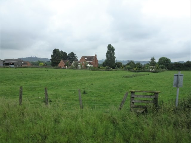
Lower Clopton is a small village located in the county of Gloucestershire, England. Nestled in the picturesque countryside, the village is situated approximately 6 miles northwest of the town of Stratford-upon-Avon and around 20 miles south of Birmingham. Lower Clopton falls within the Stratford-on-Avon district and is part of the parliamentary constituency of Stratford-on-Avon.
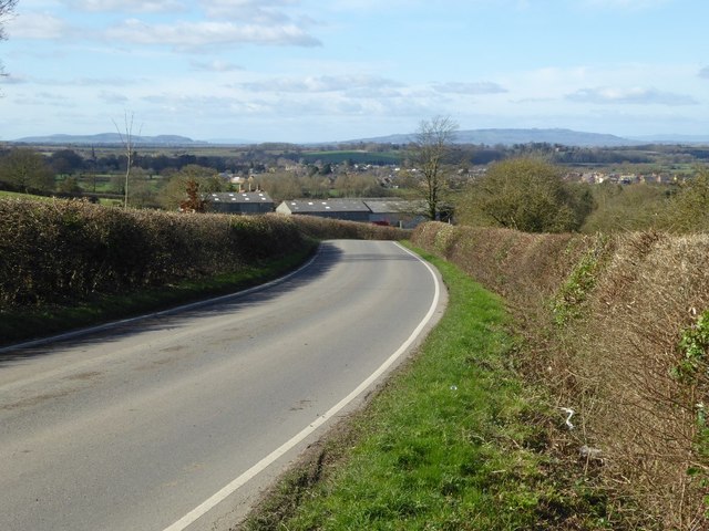
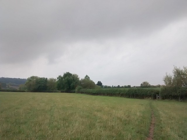
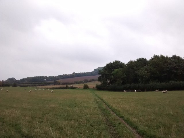
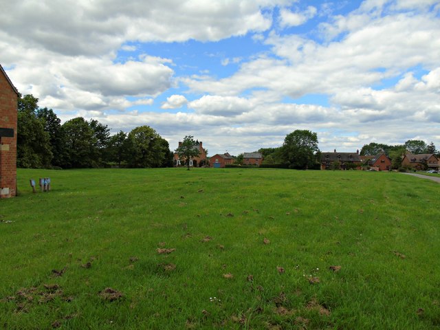
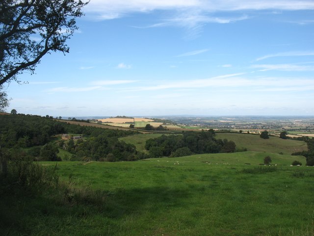
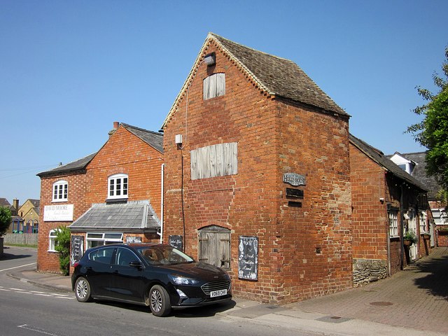
The village is primarily known for its historic charm and rural setting. It features a collection of traditional stone houses and cottages that date back several centuries, giving it a quintessentially English feel. The surrounding countryside offers stunning views of rolling hills, lush meadows, and open fields, making it a popular destination for nature lovers and outdoor enthusiasts.
While Lower Clopton is a small village, it benefits from its proximity to larger towns and cities. Stratford-upon-Avon, the birthplace of William Shakespeare, is just a short drive away, offering a range of cultural attractions, shopping opportunities, and entertainment options. The city of Birmingham, with its bustling city center and diverse amenities, is easily accessible by road or rail.
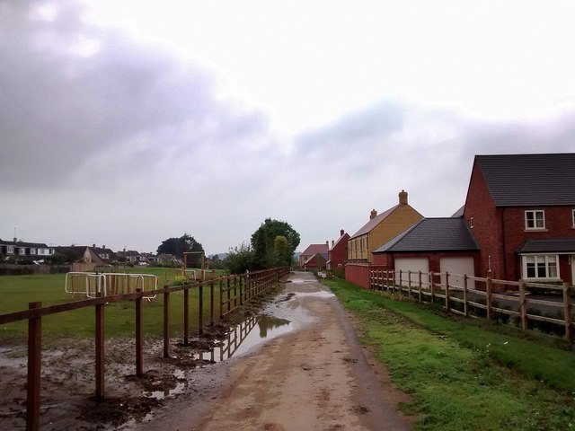
Despite its rural setting, Lower Clopton is well-connected to neighboring communities. The village has a close-knit community and boasts a village hall, a local pub, and a primary school. The nearby towns provide additional amenities, including shops, supermarkets, healthcare facilities, and educational institutions.
Overall, Lower Clopton offers a peaceful and idyllic setting for those seeking a countryside retreat, while still providing easy access to nearby towns and cities.
If you have any feedback on the listing, please let us know in the comments section below.
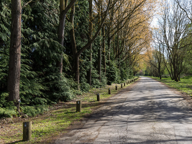
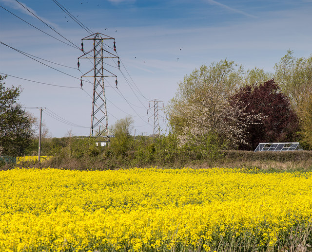
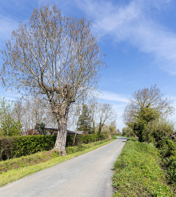
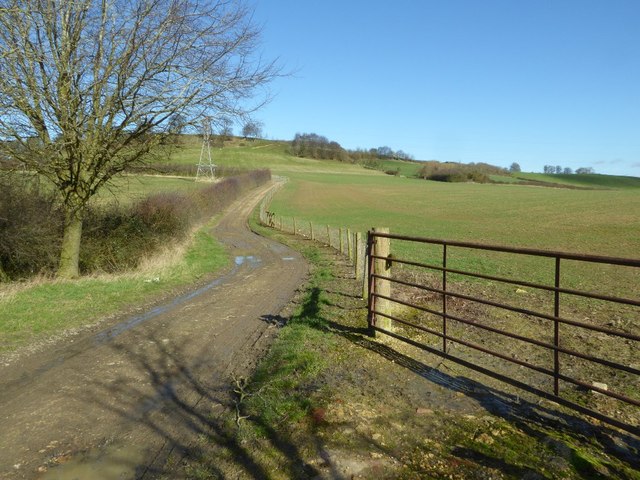
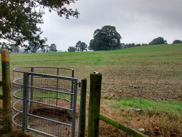
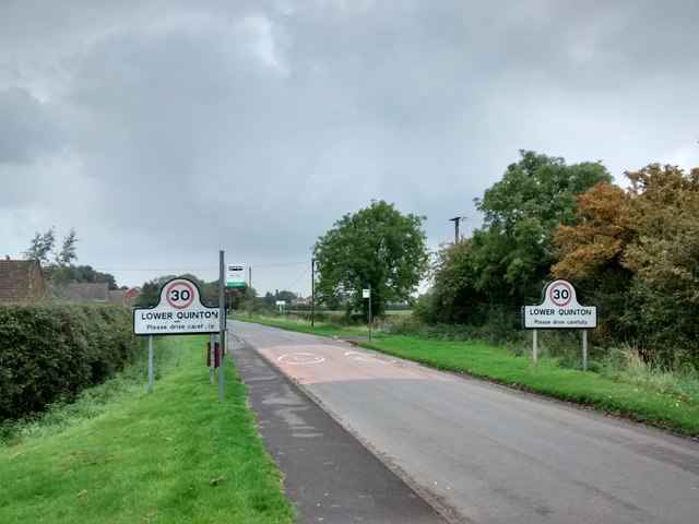
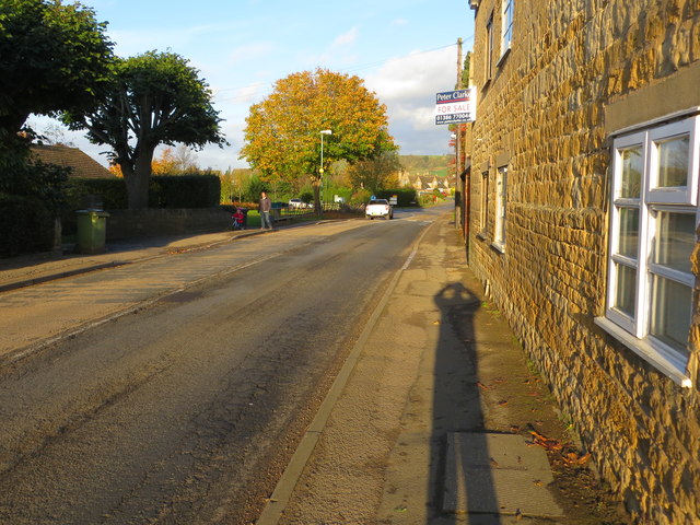
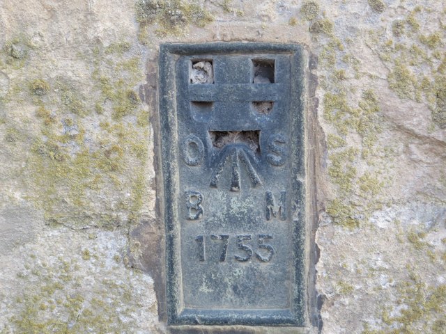
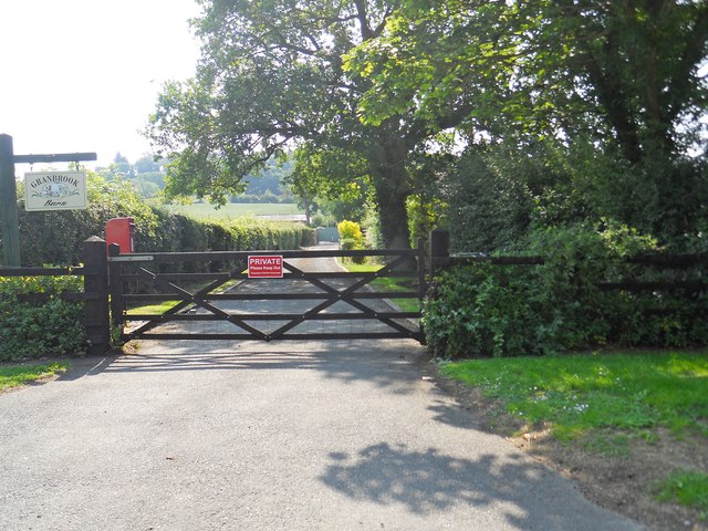
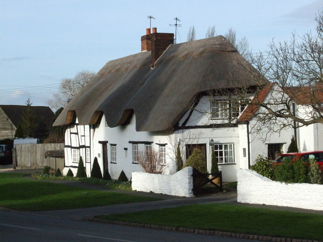
Lower Clopton Images
Images are sourced within 2km of 52.10785/-1.7575887 or Grid Reference SP1645. Thanks to Geograph Open Source API. All images are credited.

Lower Clopton is located at Grid Ref: SP1645 (Lat: 52.10785, Lng: -1.7575887)
Administrative County: Warwickshire
District: Stratford-on-Avon
Police Authority: Warwickshire
What 3 Words
///placidly.calls.kindness. Near Mickleton, Gloucestershire
Nearby Locations
Related Wikis

Middle Quinton
Middle Quinton is the name given by the developers St. Modwen Properties and The Bird Group to a proposed new eco-town near Long Marston in Warwickshire...

Mickleton, Gloucestershire
Mickleton is a village and civil parish in the Cotswold District of Gloucestershire, England. The village is the northernmost settlement in Gloucestershire...
Quinton, Warwickshire
Quinton is a civil parish in the Stratford-on-Avon district of Warwickshire, England, about six miles south of Stratford-upon-Avon. According to the 2001...

Three Ways House Hotel
Three Ways House Hotel is a hotel in Mickleton, Gloucestershire, England. Built in 1871 as a house for a doctor, the now hotel features a weekly dining...
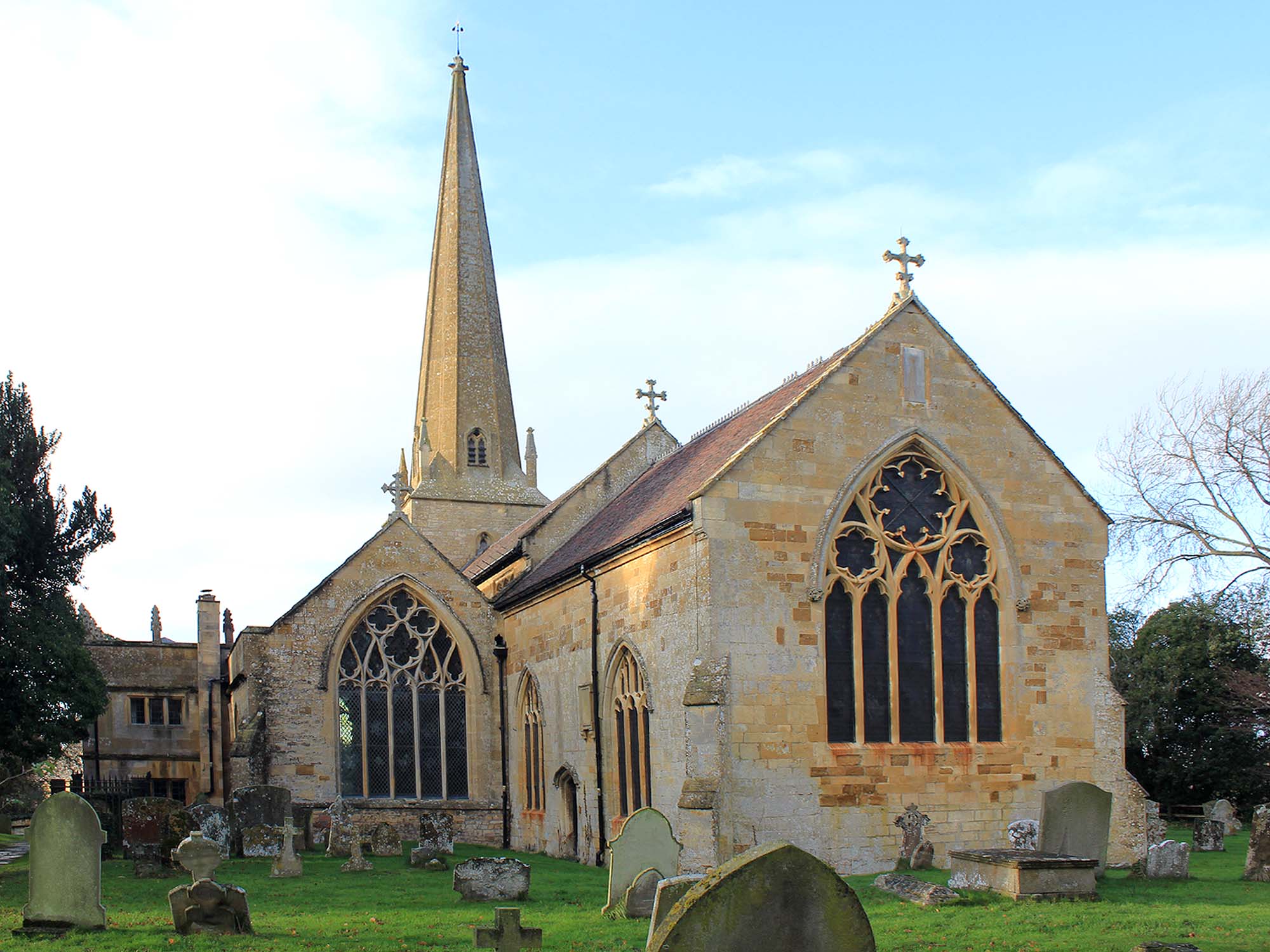
Church of St Lawrence, Mickleton
The Anglican Church of St Lawrence at Mickleton in the Cotswold District of Gloucestershire, England was built in the 12th century. It is a grade I listed...
Pebworth Halt railway station
Pebworth Halt railway station served the village of Pebworth, Worcestershire, England from 1937 to 1966 on the Gloucestershire Warwickshire Railway....
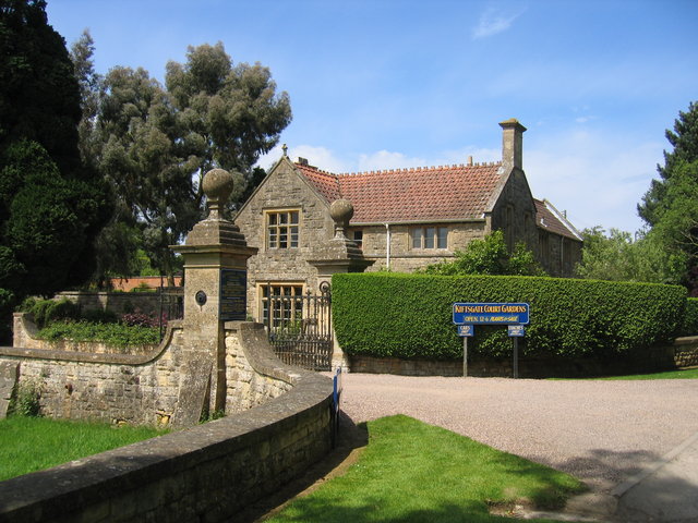
Kiftsgate Court Gardens
Kiftsgate Court Gardens is situated above the village of Mickleton in the county of Gloucestershire, England, in the far north of the county close to the...

Long Marston railway station
Long Marston railway station was a station at Long Marston, Warwickshire on the Great Western Railway line between Stratford-upon-Avon and Honeybourne...
Related Videos
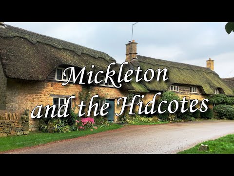
Mickleton and The Hidcotes. Walking the Cotswolds. Stone cottages, thatched roofs and countryside.
A morning walk around Mickleton, The Hidcotes and the surrounding countryside in The Cotswolds, Gloucestershire England, UK.

Adventure at Hidcote Manor House: Exploring the Enchanting Garden Amidst a Surprising Fire Alarm!
Hello from Hidcote Manor House! ✨ Exploring the Timeless Beauty of England's Hidden Gem. #HidcoteAdventures Explore: ...

The result is incredible 😮 💚 #magnificentending
englandtourism #britishcozymysteryaudiobooks #villagetravelblog #most #mostpopular #mostmysteriousandamazingvillage ...

Hidcote Manor Gardens - Full Tour & Review | Cotswolds Day Out | National Trust Tours
This week we visit Hidcote Manor Gardens in the Cotswolds. We give you a full tour and review of this stunning Gloucestershire ...
Nearby Amenities
Located within 500m of 52.10785,-1.7575887Have you been to Lower Clopton?
Leave your review of Lower Clopton below (or comments, questions and feedback).