Clough Dene

Settlement in Durham

England

Clough Dene

East Tanfield Station, Tanfield Railway The southern terminus of the world's oldest working railway.
East Tanfield Station, Tanfield Railway Credit: Alan Fearon

Clough Dene is a picturesque nature reserve located in Durham, England. Situated on the outskirts of the city, it is a popular destination for nature lovers and outdoor enthusiasts. Covering an area of approximately 100 acres, Clough Dene is characterized by its diverse range of habitats and stunning landscapes.

The reserve boasts a variety of woodland, meadow, and wetland areas, providing a haven for a wide array of flora and fauna. Visitors can explore the numerous walking trails that wind their way through the reserve, immersing themselves in the tranquil surroundings. The well-maintained paths offer opportunities for leisurely strolls, jogging, or even dog walking.

One of the highlights of Clough Dene is the Clough Burn, a small river that flows through the reserve. The river not only adds to the scenic beauty of the area but also supports a rich aquatic ecosystem. It is home to several species of fish, as well as a range of water-loving birds.

The reserve also features several bird hides, allowing visitors to observe and appreciate the various bird species that inhabit the area. From common garden birds to more elusive species, Clough Dene offers a fantastic opportunity for birdwatching.

Clough Dene is managed by a local conservation organization, ensuring the preservation and protection of its natural beauty. Entry to the reserve is typically free, making it an accessible destination for individuals and families alike. With its stunning landscapes, diverse habitats, and abundant wildlife, Clough Dene is a true gem for nature enthusiasts in the Durham area.

If you have any feedback on the listing, please let us know in the comments section below.
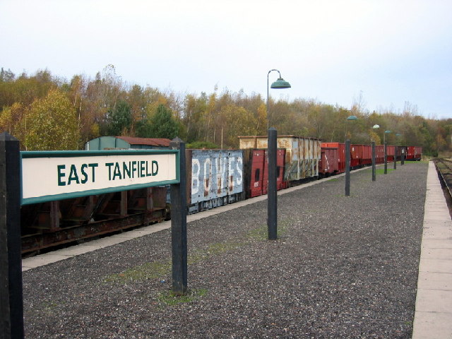
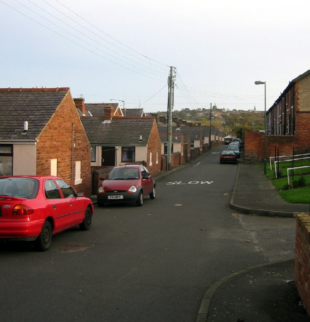
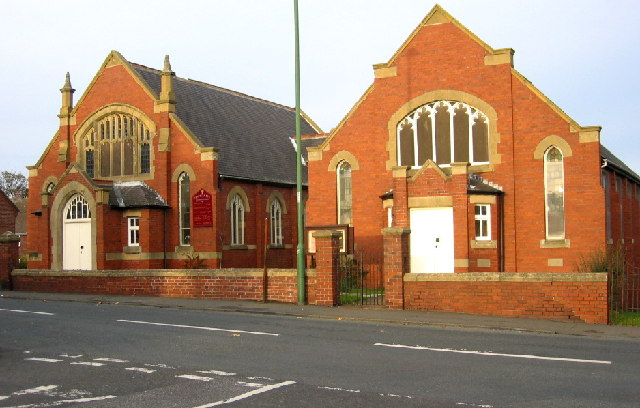
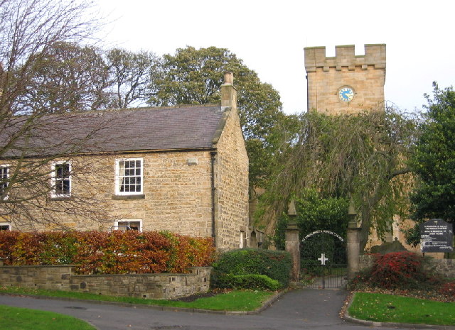
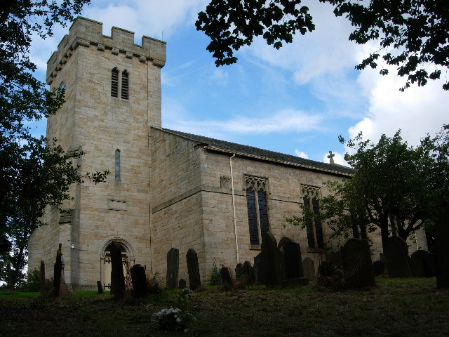
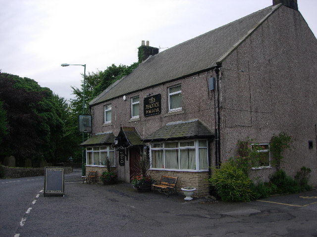
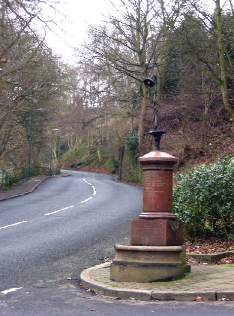
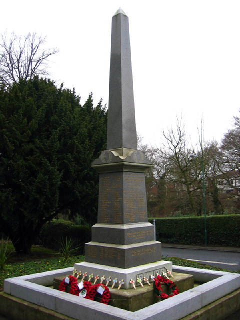
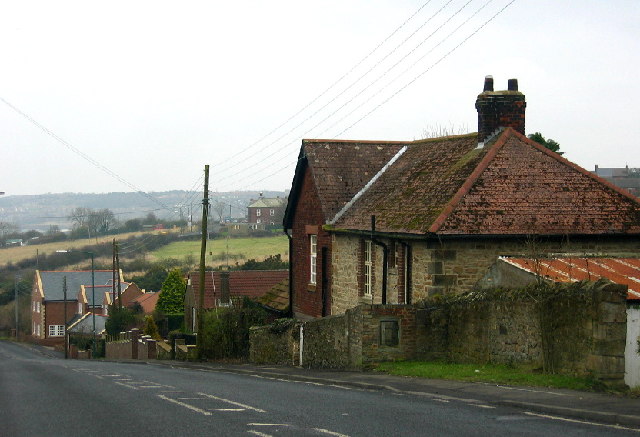
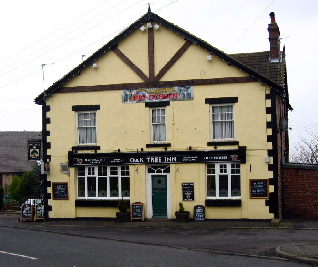
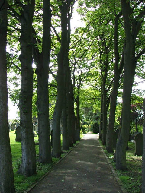
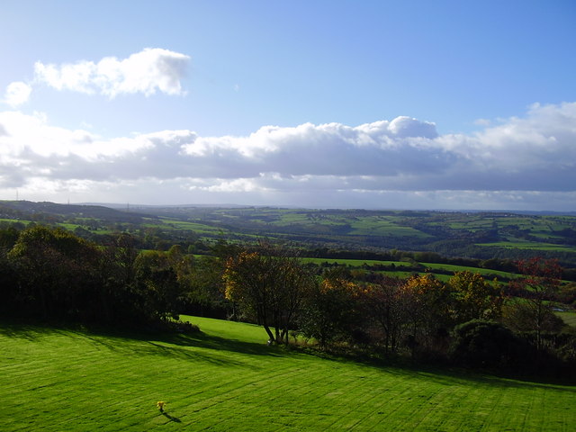
Clough Dene Images

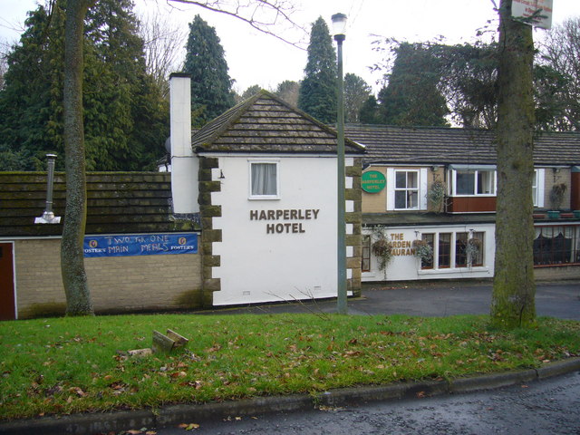
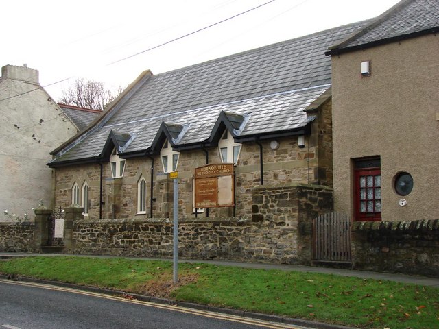
Images are sourced within 2km of 54.889732/-1.729482 or Grid Reference NZ1755. Thanks to Geograph Open Source API. All images are credited.

East Tanfield Station, Tanfield Railway The southern terminus of the world's oldest working railway.
East Tanfield Station, Tanfield Railway
The southern terminus of the world's oldest working railway.
Back street in Tanfield Lea, Co. Durham Handsomely restored (but with the old coal holes still visible) these single storey houses must have looked rather different when the local colliery was open. St. Andrew's, Stanley, can just be seen on the horizon.
Back street in Tanfield Lea, Co. Durham
Handsomely restored (but with the old coal holes still visible) these single storey houses must have looked rather different when the local colliery was open. St. Andrew's, Stanley, can just be seen on the horizon.
Tanfield Lea Methodist Church and Hall Two splendid buildings in  a small village
Tanfield Lea Methodist Church and Hall
Two splendid buildings in a small village
The tower of St Margaret's, Tanfield Tommy Armstrong, the famous 19th C. Ballad singer and composer is buried here. In 1861 this tiny village had a 'National School' as well as a 'Grammar School'! For more on the 'Church of St. Margaret of Antioch':
<span class="nowrap"><a title="http://www.stmargarets.derwentside.org.uk/noframes/history.htm" rel="nofollow ugc noopener" href="http://www.stmargarets.derwentside.org.uk/noframes/history.htm">Link</a><img style="margin-left:2px;" alt="External link" title="External link - shift click to open in new window" src="https://s1.geograph.org.uk/img/external.png" width="10" height="10"/></span>
The tower of St Margaret's, Tanfield
Tommy Armstrong, the famous 19th C. Ballad singer and composer is buried here. In 1861 this tiny village had a 'National School' as well as a 'Grammar School'! For more on the 'Church of St. Margaret of Antioch': LinkExternal link
Mountsett Crematorium
St. Margaret's Church, Tanfield
The Peacock Public House
Roadside Pant On the B6314 near the end of its climb into Burnopfield, this fountain (with electric light!) was erected in 1905 in memory of a respected local resident, known especially for his "kindness to dumb animals".
Roadside Pant
On the B6314 near the end of its climb into Burnopfield, this fountain (with electric light!) was erected in 1905 in memory of a respected local resident, known especially for his "kindness to dumb animals".
War Memorial, Burnopfield A simple monument in pristine condition; obviously well cared for.
War Memorial, Burnopfield
A simple monument in pristine condition; obviously well cared for.
The Travellers Rest, High Friarside
Toft Gate Farm, near Pickering Nook
Clough Dene, near Tantobie Housing old and new - I know which I prefer!
Clough Dene, near Tantobie
Housing old and new - I know which I prefer!
Oak Tree Inn, Tantobie
Sycamore Lined Walkway that leads you to St James Church Burnopfield
Sycamore Lined Walkway
that leads you to St James Church Burnopfield
Trees at Mountsett Crematorium
Briar Terrace, Crookgate Bank
Harperley Hotel
Harperley Hotel
Burnopfield Methodist Church
Show me another place!

Clough Dene is located at Grid Ref: NZ1755 (Lat: 54.889732, Lng: -1.729482)

Unitary Authority: County Durham

Police Authority: Durham

What 3 Words

///restore.piper.eyelashes. Near Tanfield, Co. Durham

Related Wikis

Clough Dene

Clough Dene is a village in County Durham, England. It is situated a short distance to the north of Tantobie, a few miles from Stanley and Annfield Plain...

White-le-Head

White-le-Head is a village in County Durham, in England, situated in close proximity to the village of Tantobie. It is located on the opposite side of...

Hobson, County Durham

Hobson is a village in County Durham, in England. It is situated to the south of Burnopfield, north of Stanley and Annfield Plain. Hobson was a pit village...

Pickering Nook

Pickering Nook is a small village in County Durham, in England. It is situated a few miles north of Annfield Plain and Stanley, on the A692 between Consett...

Tantobie

Tantobie is a former colliery village in County Durham, England. It is situated 2 miles to the northwest of Stanley and the same distance to the north...

West Kyo

West Kyo (also known locally as Old Kyo) is a small village in County Durham, England, United Kingdom. The name 'kyo' is derived from an old word for...

Hill Top, Stanley

Hill Top is a village in County Durham, England. It is situated to the west of Tantobie, near Stanley. == References ==

Flint Hill, County Durham

Flint Hill is a small village in County Durham, in England. It is situated to the north of Annfield Plain. == References ==

Nearby Amenities

Located within 500m of 54.889732,-1.729482
Tantobie
Place: village
Source: NPE
Wikidata: Q7683850
Wikipedia: en:Tantobie
Lat/Long: 54.886418/-1.7268497
Bus Stop
Crossroads
Bench: no
Bus: yes
Naptan AtcoCode: 13001500B
Naptan Bearing: NE
Naptan CommonName: Crossroads
Naptan Indicator: north east bound
Naptan Landmark: Landmark not known
Naptan NaptanCode: duragagp
Naptan Notes: road to sleepy valley- 30m from b6173 tantobie
Naptan Street: Unclassified Road
Naptan Verified: no
Public Transport: platform
Shelter: yes
Source: naptan_import
Lat/Long: 54.887819/-1.7238837
Bus Stop
Crossroads
Bench: no
Bin: yes
Bus: yes
Departures Board: timetable
Naptan AtcoCode: 13001500D
Naptan Bearing: SE
Naptan CommonName: Crossroads
Naptan Indicator: south east bound
Naptan Landmark: Landmark not known
Naptan NaptanCode: duragagt
Naptan Notes: opp 19- blanche terrace- tantobie
Naptan Street: B6173 - Blanche Terrace
Naptan Verified: no
Public Transport: platform
Shelter: yes
Source: naptan_import
Lat/Long: 54.8871168/-1.7233273
Bus Stop
Crossroads
Naptan AtcoCode: 13001500F
Naptan Bearing: SW
Naptan CommonName: Crossroads
Naptan Indicator: south west bound
Naptan Landmark: Landmark not known
Naptan NaptanCode: duragagw
Naptan Notes: 3- liberty terrace- tantobie
Naptan Street: B6311
Naptan Verified: no
Source: naptan_import
Lat/Long: 54.8871832/-1.7248546
Bus Stop
Crossroads
Bench: no
Bus: yes
Departures Board: timetable
Naptan AtcoCode: 13001500H
Naptan Bearing: NW
Naptan CommonName: Crossroads
Naptan Indicator: north west bound
Naptan Landmark: Landmark not known
Naptan NaptanCode: duragaja
Naptan Notes: beda house- clough dene rd- tantobie
Naptan Street: B6173
Naptan Verified: no
Public Transport: platform
Shelter: yes
Source: naptan_import
Lat/Long: 54.8880106/-1.7251451
Bus Stop
Clough Dene
Bench: no
Bin: no
Naptan AtcoCode: 13001501D
Naptan Bearing: SE
Naptan CommonName: Clough Dene
Naptan Indicator: south east bound
Naptan Landmark: Landmark not known
Naptan NaptanCode: duragajd
Naptan Notes: birk hill- b6173- clough dene
Naptan Street: B6173
Naptan Verified: no
Shelter: no
Source: naptan_import
Lat/Long: 54.8907206/-1.7314252
Bus Stop
Clough Dene
Naptan AtcoCode: 13001501H
Naptan Bearing: NW
Naptan CommonName: Clough Dene
Naptan Indicator: north west bound
Naptan Landmark: Landmark not known
Naptan NaptanCode: duragajg
Naptan Notes: 20m n of 15- b6173- clough dene
Naptan Street: B6173
Naptan Verified: no
Shelter: yes
Source: naptan_import
Lat/Long: 54.8908121/-1.7321417
Bus Stop
Road End (B6173)
Bus: yes
Naptan AtcoCode: 13001502D
Naptan Bearing: SE
Naptan CommonName: Road End (B6173)
Naptan Indicator: south east bound
Naptan Landmark: Landmark not known
Naptan NaptanCode: duragajm
Naptan Notes: b6173- sales garage- pickering nook
Naptan Street: B6173 - Clough End
Naptan Verified: no
Public Transport: platform
Shelter: yes
Source: naptan_import
Lat/Long: 54.8925076/-1.7348901
Bus Stop
Road End (B6173)
Bench: yes
Bus: yes
Naptan AtcoCode: 13001502H
Naptan Bearing: NW
Naptan CommonName: Road End (B6173)
Naptan Indicator: north west bound
Naptan Landmark: Landmark not known
Naptan NaptanCode: duragajp
Naptan Notes: opp sales garage- b6173- pickering nook
Naptan Street: B6173 - Clough End
Naptan Verified: no
Public Transport: platform
Shelter: yes
Source: naptan_import
Lat/Long: 54.892328/-1.7349848
Bus Stop
Oak Tree Inn
Bench: no
Bin: yes
Bus: yes
Naptan AtcoCode: 13001553B
Naptan Bearing: NE
Naptan CommonName: Oak Tree Inn
Naptan Indicator: north east bound
Naptan Landmark: Landmark not known
Naptan NaptanCode: duragjma
Naptan Notes: opp oak tree inn- tantobie
Naptan Street: B6311
Naptan Verified: no
Public Transport: platform
Shelter: yes
Source: naptan_import
Lat/Long: 54.8864499/-1.7264496
Bus Stop
Oak Tree Inn
Bus: yes
Naptan AtcoCode: 13001553F
Naptan Bearing: SW
Naptan CommonName: Oak Tree Inn
Naptan Indicator: south west bound
Naptan Landmark: Landmark not known
Naptan NaptanCode: duragjmd
Naptan Notes: next to oak tree inn- tantobie
Naptan Street: B6311
Naptan Verified: no
Public Transport: platform
Shelter: yes
Source: naptan_import
Lat/Long: 54.8862434/-1.7265601
Bus Stop
Commercial Hotel
Naptan AtcoCode: 13001554B
Naptan Bearing: NE
Naptan CommonName: Commercial Hotel
Naptan Indicator: north east bound
Naptan Landmark: Landmark not known
Naptan NaptanCode: duragjmg
Naptan Notes: opp 8- havelock terr- tantobie
Naptan Street: B6311 - Front Street
Naptan Verified: no
Source: naptan_import
Lat/Long: 54.8853662/-1.7281999
Noexit: yes
Lat/Long: 54.8907678/-1.7307327
Clough Dene
Place: hamlet
Source: OS 1:25k
Wikidata: Q5135799
Wikipedia: en:Clough Dene
Lat/Long: 54.8903562/-1.7313751
Noexit: yes
Lat/Long: 54.8853284/-1.7297949
Noexit: yes
Lat/Long: 54.8856669/-1.7299728
Noexit: yes
Lat/Long: 54.8858634/-1.7300697
Noexit: yes
Lat/Long: 54.885747/-1.728612
Noexit: yes
Lat/Long: 54.8857266/-1.7288615
Noexit: yes
Lat/Long: 54.8861189/-1.7291718
Noexit: yes
Lat/Long: 54.8911957/-1.7355934
Noexit: yes
Lat/Long: 54.8877757/-1.7224755
Give Way
Direction: backward
Lat/Long: 54.8853816/-1.7280515
Post Box
Brand: Royal Mail
Brand Wikidata: Q638098
Operator: Royal Mail
Operator Wikidata: Q638098
Lat/Long: 54.8866752/-1.7257526
Power: pole
Lat/Long: 54.8910675/-1.7329739
Power: pole
Lat/Long: 54.8909757/-1.7339408
Power: pole
Lat/Long: 54.8913676/-1.7348193
Power: pole
Lat/Long: 54.8917655/-1.735691
Give Way
Direction: forward
Lat/Long: 54.887638/-1.724093
Give Way
Direction: backward
Lat/Long: 54.8875558/-1.7242463
Generator Method: photovoltaic
Generator Output Electricity: yes
Generator Source: solar
Generator Type: solar_photovoltaic_panel
Power: generator
Lat/Long: 54.8892503/-1.721954
Generator Method: photovoltaic
Generator Source: solar
Generator Type: solar_photovoltaic_panel
Location: roof
Power: generator
Lat/Long: 54.8855916/-1.7303695
Generator Method: photovoltaic
Generator Source: solar
Generator Type: solar_photovoltaic_panel
Location: roof
Power: generator
Lat/Long: 54.885317/-1.7302461
Generator Method: photovoltaic
Generator Source: solar
Generator Type: solar_photovoltaic_panel
Location: roof
Power: generator
Lat/Long: 54.8854095/-1.7298424
Generator Method: photovoltaic
Generator Source: solar
Generator Type: solar_photovoltaic_panel
Location: roof
Power: generator
Lat/Long: 54.8858531/-1.7305143
Generator Method: photovoltaic
Generator Source: solar
Generator Type: solar_photovoltaic_panel
Location: roof
Power: generator
Lat/Long: 54.885894/-1.7303775
Noexit: yes
Lat/Long: 54.8853633/-1.7287079
The data included in this document is from www.openstreetmap.org. The data is made available under ODbL.

Have you been to Clough Dene?

Leave your review of Clough Dene below (or comments, questions and feedback).