Clough Foot
Settlement in Lancashire
England
Clough Foot
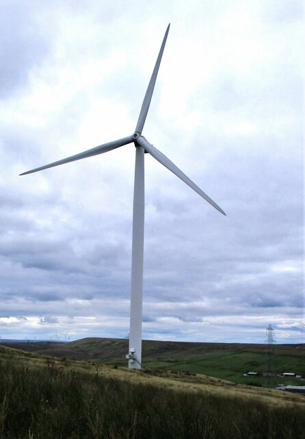
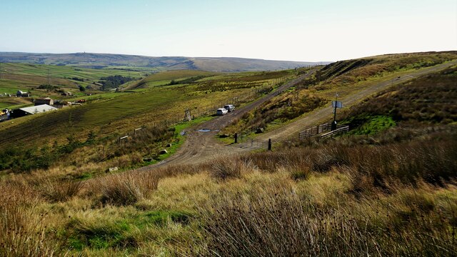
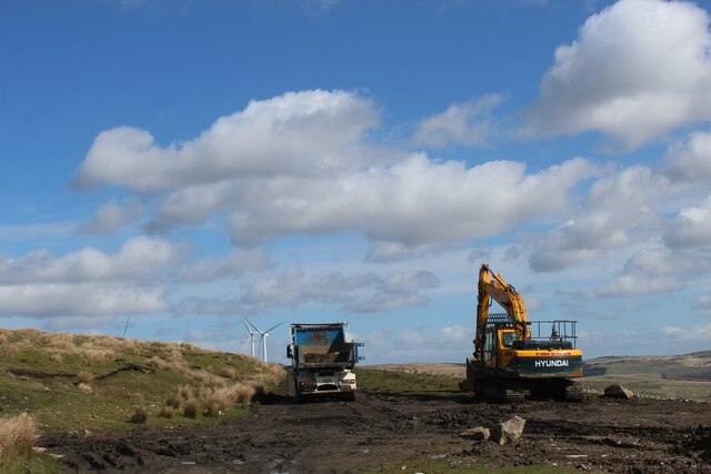
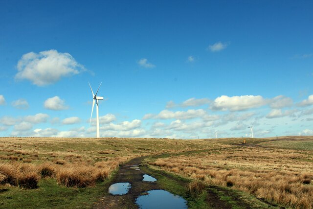
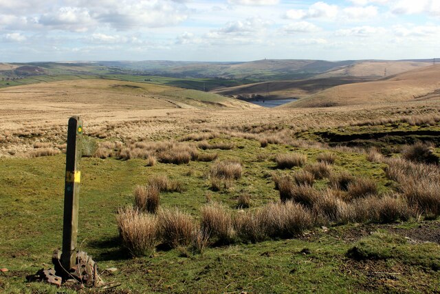
Clough Foot is a small village located in the Rossendale district of Lancashire, England. Situated on the slopes of the South Pennines, this picturesque rural settlement boasts a population of around 400 residents. Surrounded by stunning natural beauty, Clough Foot offers a peaceful and idyllic retreat from the hustle and bustle of nearby urban areas.
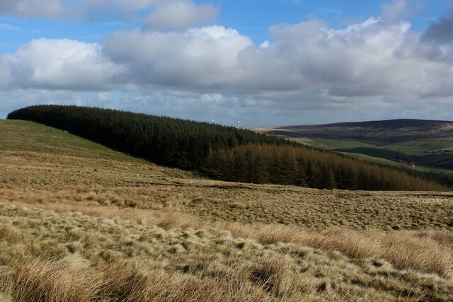
The village is characterized by its traditional stone cottages and farmhouses, which add to its quintessentially English charm. Clough Foot is renowned for its scenic countryside, with rolling hills, lush green fields, and meandering streams that provide a haven for wildlife and nature enthusiasts. The village is also home to several well-preserved historic buildings, including the Clough Foot Methodist Church, which dates back to the early 19th century.
Despite its small size, Clough Foot has a strong sense of community, with various local events and activities taking place throughout the year. The village pub, The Clough Foot Inn, serves as a social hub, offering a warm and welcoming atmosphere for locals and visitors alike.
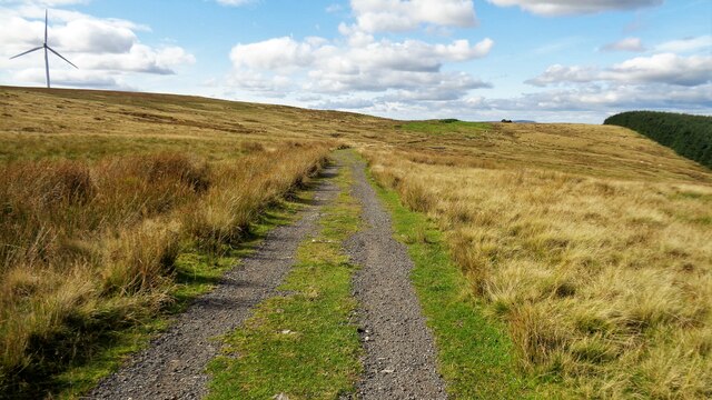
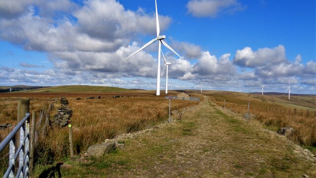
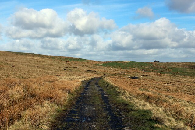
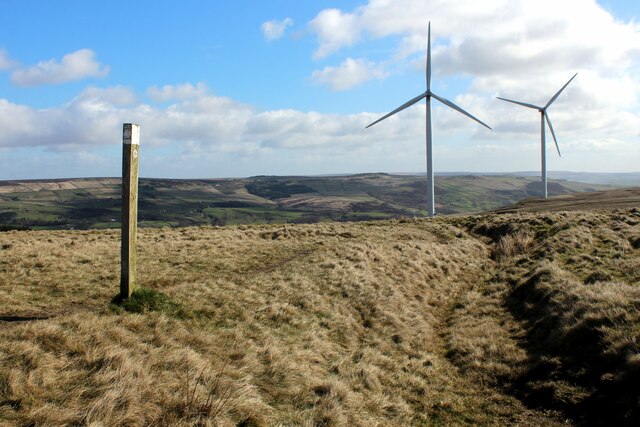
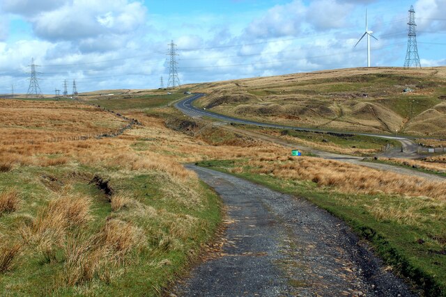
The surrounding area offers an abundance of outdoor recreational opportunities, including hiking, cycling, and horseback riding. The nearby Mary Towneley Loop, a popular long-distance trail, attracts outdoor enthusiasts from far and wide. Additionally, the village is within easy reach of larger towns and cities, with Rochdale and Burnley both a short drive away.
In conclusion, Clough Foot is a charming and tranquil village nestled in the heart of Lancashire's beautiful countryside. With its stunning natural surroundings, rich history, and strong sense of community, it is a hidden gem for those seeking a peaceful retreat in a picturesque English setting.
If you have any feedback on the listing, please let us know in the comments section below.
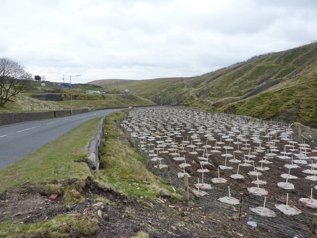
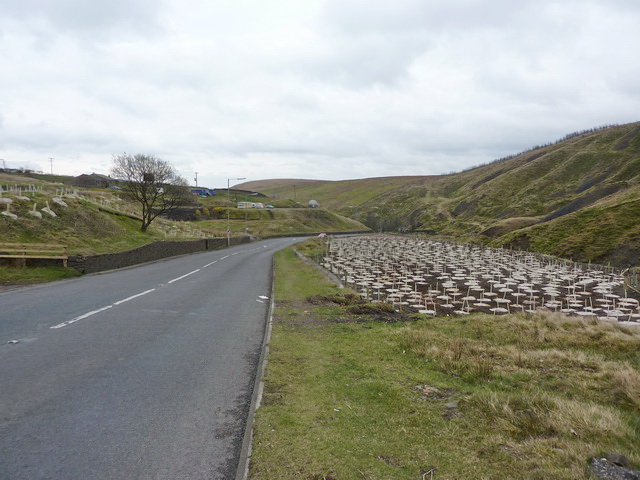
Clough Foot Images
Images are sourced within 2km of 53.710537/-2.139201 or Grid Reference SD9023. Thanks to Geograph Open Source API. All images are credited.
Clough Foot is located at Grid Ref: SD9023 (Lat: 53.710537, Lng: -2.139201)
Unitary Authority: Calderdale
Police Authority: West Yorkshire
What 3 Words
///blurts.slant.basics. Near Cornholme, West Yorkshire
Nearby Locations
Related Wikis

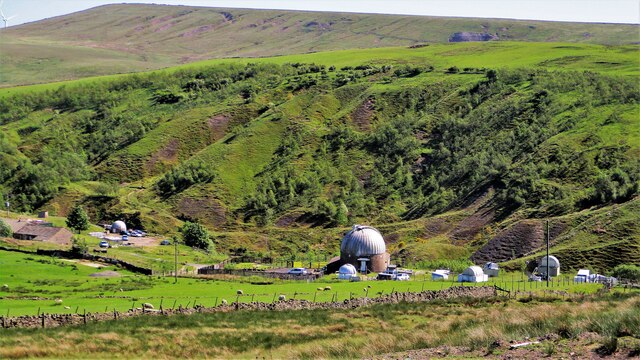
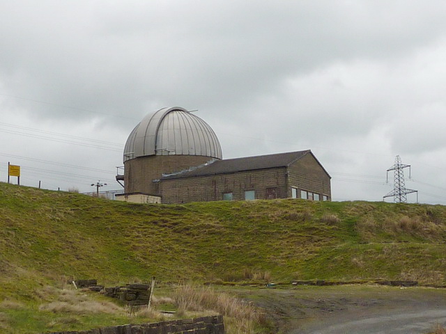
Astronomy Centre
The Astronomy Centre, also known as the Amateur Astronomy Centre, is an astronomical observatory located in northern England which is run by experienced...

Dobroyd Castle
Dobroyd Castle is an important historic building above the town of Todmorden, West Yorkshire, England. It was built for John Fielden, local mill owner...
Todmorden High School
Todmorden High School is a comprehensive school in the town of Todmorden, Calderdale LEA, West Yorkshire, England. == Admissions == Todmorden High School...

Todmorden War Memorial
Todmorden War Memorial is a war memorial located in Todmorden, West Yorkshire, England.The memorial is in the garden of remembrance in Centre Vale Park...
Cornholme railway station
Cornholme railway station served the village of Cornholme in West Yorkshire, England on the Copy Pit line. The station was opened by the Lancashire and...
Mons Mill, Todmorden
Mons Mill, Todmorden, is a former cotton spinning mill in Todmorden, Calderdale, West Yorkshire, England built for the Hare Spinning Company Limited. It...

Cornholme
Cornholme is a village near Todmorden, in the metropolitan borough of Calderdale, in West Yorkshire, England. It lies at the edge of Calderdale, on the...

Portsmouth, West Yorkshire
Portsmouth is a village on the A646 road in the Calderdale district, in the county of West Yorkshire, England. Nearby settlements include the towns of...
Related Videos
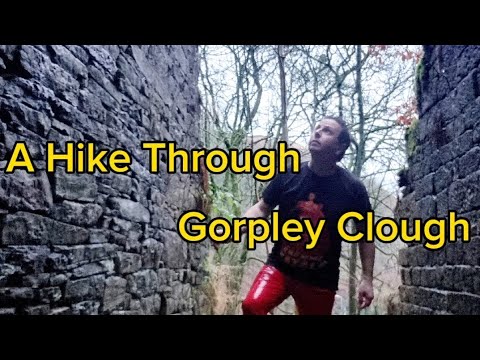
A Walk through the Woods and Waterfalls and Ruins of Gorpley Clough. Todmorden
Another of Calderdale's 'Cloughs' alongside Jumble Hole Clough and Colden Clough, Gorpley is, like those, a high wooded ...

Stoodley Pile #todmorden ART #Tourism
Visit Todmorde. Times have changed. Music by @thefamousclive.

Gorpley Clough, Trough Edge End, Nr Bacup., South Pennines
Gorpley Clough Valley is between Todmorden and Bacup. The walk started off Bacup Road on A681. Because the original access ...

Cliviger Valley Gorge, Todmorden, Calderdale, Yorkshire
A walk from Todmorden leading up past Dobroyd Castle, (a Victorian mock-gothic pile) then across to the edge of Cliviger Gorge ...
Nearby Amenities
Located within 500m of 53.710537,-2.139201Have you been to Clough Foot?
Leave your review of Clough Foot below (or comments, questions and feedback).