Hobson

Settlement in Durham

England

Hobson

The tower of St Margaret's, Tanfield Tommy Armstrong, the famous 19th C. Ballad singer and composer is buried here. In 1861 this tiny village had a 'National School' as well as a 'Grammar School'! For more on the 'Church of St. Margaret of Antioch':
<span class="nowrap"><a title="http://www.stmargarets.derwentside.org.uk/noframes/history.htm" rel="nofollow ugc noopener" href="http://www.stmargarets.derwentside.org.uk/noframes/history.htm">Link</a><img style="margin-left:2px;" alt="External link" title="External link - shift click to open in new window" src="https://s1.geograph.org.uk/img/external.png" width="10" height="10"/></span>
The tower of St Margaret's, Tanfield Credit: Alan Fearon

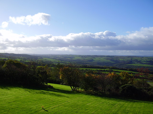
Hobson is a small, rural village located in the county of Durham, in the northeast of England. Situated approximately 10 miles southwest of Durham city, Hobson is surrounded by the picturesque countryside of the North Pennines Area of Outstanding Natural Beauty.

The village is home to a close-knit community of around 200 residents, known for its welcoming and friendly atmosphere. The architecture in Hobson consists mainly of traditional, stone-built houses, giving it a charming and timeless feel.

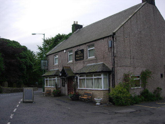
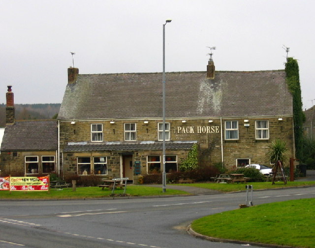
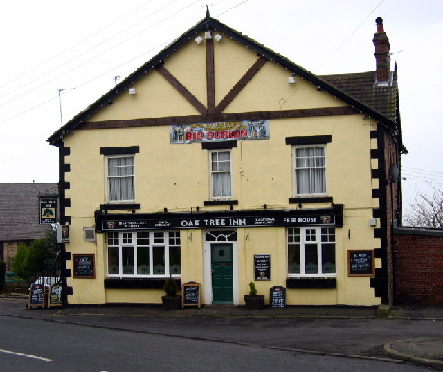
Despite its small size, Hobson offers a range of amenities to its residents. These include a local pub, which serves as a social hub for the village, and a village hall that hosts various community events and gatherings. Additionally, there is a primary school nearby, ensuring that families have convenient access to education for their children.

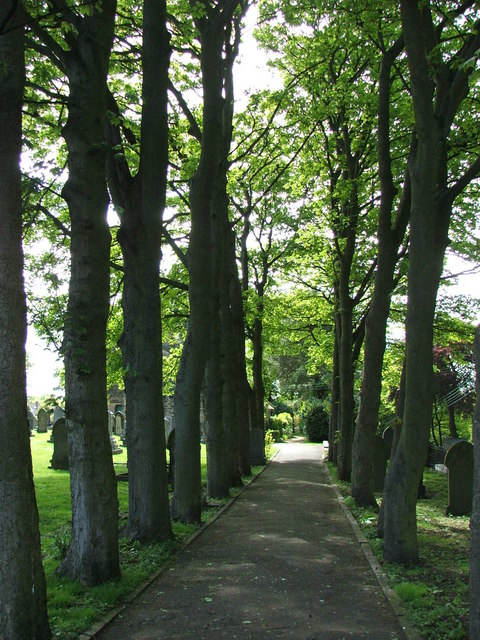
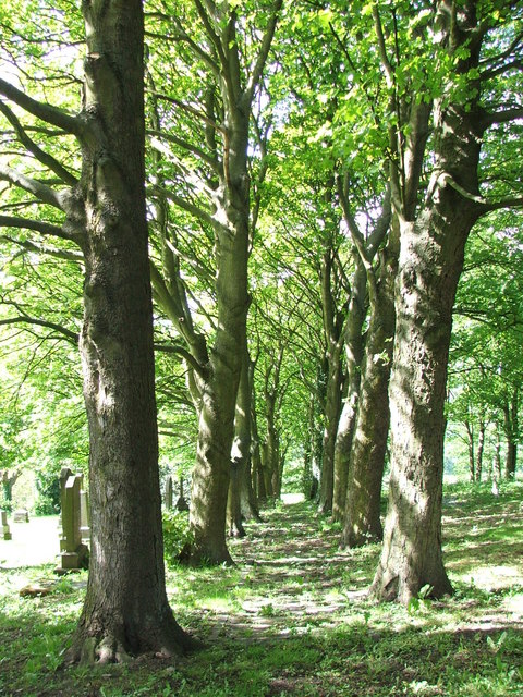
The surrounding countryside provides ample opportunities for outdoor activities and exploration. Hobson is surrounded by rolling hills, providing stunning views and opportunities for hiking, cycling, and horseback riding. The nearby River Wear also offers opportunities for fishing and boating.

Although Hobson may lack some of the amenities and services found in larger towns, its tranquil setting and strong sense of community make it an attractive place to live for those seeking a peaceful and idyllic lifestyle.

If you have any feedback on the listing, please let us know in the comments section below.
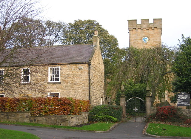
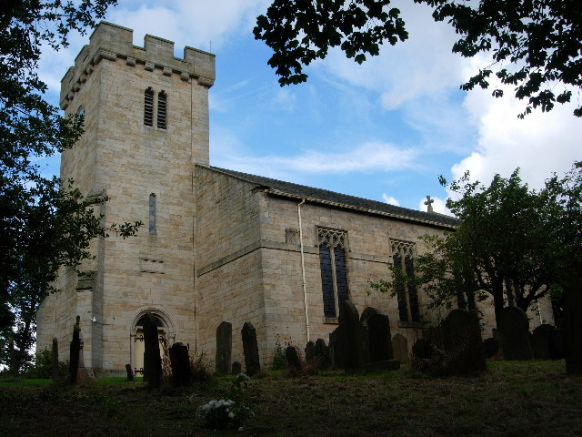
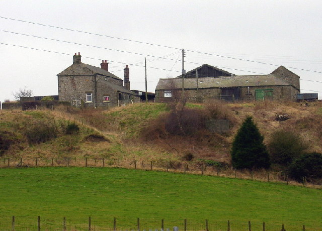
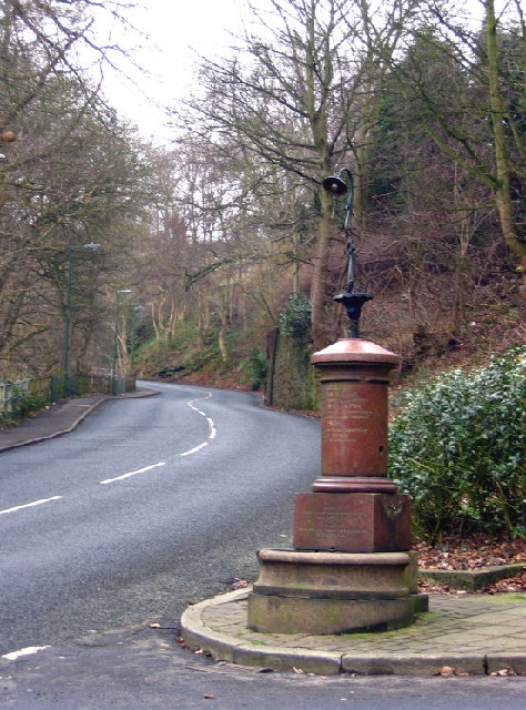
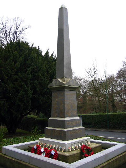
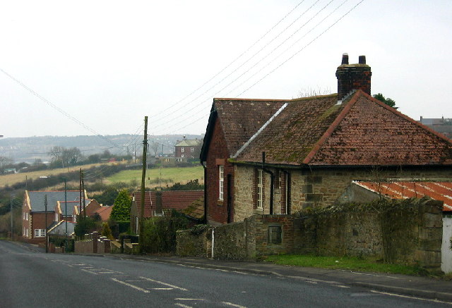
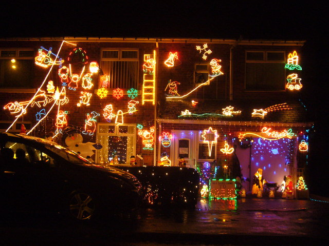
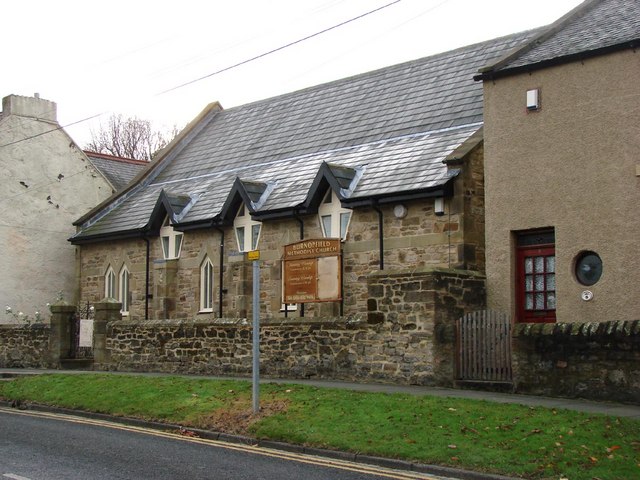
Hobson Images

Images are sourced within 2km of 54.897367/-1.727872 or Grid Reference NZ1755. Thanks to Geograph Open Source API. All images are credited.

The tower of St Margaret's, Tanfield Tommy Armstrong, the famous 19th C. Ballad singer and composer is buried here. In 1861 this tiny village had a 'National School' as well as a 'Grammar School'! For more on the 'Church of St. Margaret of Antioch':
<span class="nowrap"><a title="http://www.stmargarets.derwentside.org.uk/noframes/history.htm" rel="nofollow ugc noopener" href="http://www.stmargarets.derwentside.org.uk/noframes/history.htm">Link</a><img style="margin-left:2px;" alt="External link" title="External link - shift click to open in new window" src="https://s1.geograph.org.uk/img/external.png" width="10" height="10"/></span>
The tower of St Margaret's, Tanfield
Tommy Armstrong, the famous 19th C. Ballad singer and composer is buried here. In 1861 this tiny village had a 'National School' as well as a 'Grammar School'! For more on the 'Church of St. Margaret of Antioch': LinkExternal link
Mountsett Crematorium
St. Margaret's Church, Tanfield
The Peacock Public House
The Pack Horse, Crookgate Just outside Burnopfield, this pub was destroyed by fire in 2002 but reopened after six months
The Pack Horse, Crookgate
Just outside Burnopfield, this pub was destroyed by fire in 2002 but reopened after six months
Crookbank Farm
Crookbank Farm
Roadside Pant On the B6314 near the end of its climb into Burnopfield, this fountain (with electric light!) was erected in 1905 in memory of a respected local resident, known especially for his "kindness to dumb animals".
Roadside Pant
On the B6314 near the end of its climb into Burnopfield, this fountain (with electric light!) was erected in 1905 in memory of a respected local resident, known especially for his "kindness to dumb animals".
War Memorial, Burnopfield A simple monument in pristine condition; obviously well cared for.
War Memorial, Burnopfield
A simple monument in pristine condition; obviously well cared for.
The Travellers Rest, High Friarside
Toft Gate Farm, near Pickering Nook
Clough Dene, near Tantobie Housing old and new - I know which I prefer!
Clough Dene, near Tantobie
Housing old and new - I know which I prefer!
Oak Tree Inn, Tantobie
Sycamore Lined Walkway that leads you to St James Church Burnopfield
Sycamore Lined Walkway
that leads you to St James Church Burnopfield
Another Sycamore Lined Walkway Path through the churchyard for the Church of St James which is situated on both sides of the B6310.
Another Sycamore Lined Walkway
Path through the churchyard for the Church of St James which is situated on both sides of the B6310.
Fields after Emerging from woods after crossing Causey Arch This shows the cross country route to Tanfield Hall
Fields after Emerging from woods after crossing Causey Arch
This shows the cross country route to Tanfield Hall
Trees at Mountsett Crematorium
Briar Terrace, Crookgate Bank
Burnopfield Methodist Church
Show me another place!

Hobson is located at Grid Ref: NZ1755 (Lat: 54.897367, Lng: -1.727872)

Unitary Authority: County Durham

Police Authority: Durham

What 3 Words

///belly.caramel.crouching. Near Burnopfield, Co. Durham

Related Wikis

Hobson, County Durham

Hobson is a village in County Durham, in England. It is situated to the south of Burnopfield, north of Stanley and Annfield Plain. Hobson was a pit village...

Pickering Nook

Pickering Nook is a small village in County Durham, in England. It is situated a few miles north of Annfield Plain and Stanley, on the A692 between Consett...

Clough Dene

Clough Dene is a village in County Durham, England. It is situated a short distance to the north of Tantobie, a few miles from Stanley and Annfield Plain...

Tantobie

Tantobie is a former colliery village in County Durham, England. It is situated 2 miles to the northwest of Stanley and the same distance to the north...

Crookgate Bank

Crookgate Bank is a village in County Durham, in England. It is situated to the east of Burnopfield. == References ==

Burnopfield

Burnopfield is a village in County Durham, in England. It is situated north of Stanley and Annfield Plain, close to the River Derwent and is 564 feet above...

High Friarside

High Friarside is a village in County Durham, England. It is situated a short distance to the west of Burnopfield. == References ==

White-le-Head

White-le-Head is a village in County Durham, in England, situated in close proximity to the village of Tantobie. It is located on the opposite side of...

Nearby Amenities

Located within 500m of 54.897367,-1.727872
Hobson
Place: village
Wikidata: Q5875221
Wikipedia: en:Hobson, County Durham
Lat/Long: 54.8991933/-1.7317074
Historic: mine
Mineral: coal
Source: NPE
Lat/Long: 54.8995235/-1.729563
Bus Stop
Hotel
Naptan AtcoCode: 13001478B
Naptan Bearing: NE
Naptan CommonName: Hotel
Naptan Indicator: north east bound
Naptan Landmark: Outside pub
Naptan NaptanCode: duradwgp
Naptan Street: A692 - Front Street
Naptan Verified: no
Shelter: yes
Source: naptan_import
Lat/Long: 54.8953232/-1.7320806
Bus Stop
Hotel
Bench: no
Naptan AtcoCode: 13001478F
Naptan Bearing: SW
Naptan CommonName: Hotel
Naptan Indicator: south west bound
Naptan Landmark: opposite no. 40
Naptan NaptanCode: duradwgt
Naptan Street: A692 - Front Street
Naptan Verified: no
Shelter: yes
Source: naptan_import
Lat/Long: 54.8958783/-1.7311414
Bus Stop
Industrial Estate
Naptan AtcoCode: 13001479B
Naptan Bearing: NE
Naptan CommonName: Industrial Estate
Naptan Indicator: north east bound
Naptan Landmark: adj entrance to industrial estate
Naptan NaptanCode: duradwgw
Naptan Street: A692 - Front Street
Naptan Verified: no
Shelter: yes
Source: naptan_import
Lat/Long: 54.8985406/-1.7281297
Bus Stop
Industrial Estate
Bench: yes
Bin: no
Naptan AtcoCode: 13001479F
Naptan Bearing: SW
Naptan CommonName: Industrial Estate
Naptan Indicator: south west bound
Naptan Landmark: opp entrance to industrial estate
Naptan NaptanCode: duradwja
Naptan Street: A692 - Front Street
Naptan Verified: no
Shelter: yes
Source: naptan_import
Lat/Long: 54.8986475/-1.7277236
Noexit: yes
Lat/Long: 54.8958093/-1.733388
Noexit: yes
Lat/Long: 54.8961723/-1.7328423
Noexit: yes
Lat/Long: 54.8956383/-1.734005
Noexit: yes
Lat/Long: 54.8965397/-1.73427
Noexit: yes
Lat/Long: 54.8966183/-1.7350042
Noexit: yes
Lat/Long: 54.8967397/-1.7341407
Post Box
Ref: NE16 315
Lat/Long: 54.8960635/-1.7311808
Hobson Interiors
Addr City: Hobson
Shop: interior_decoration
Website: https://claddingdirect.com/
Lat/Long: 54.8989575/-1.728106
Theresa Banks Designs - Wood Turning
Addr City: Hobson
Shop: interior_decoration
Lat/Long: 54.8991083/-1.728591
Dack's Of Fellside
Addr City: Hobson
Shop: furniture
Lat/Long: 54.8995051/-1.7294333
Body Blitz Boot Camp
Addr City: Hobson
Leisure: sports_centre
Phone: +44 1207 272288
Website: http://paulreaybodyblitz.co.uk/
Lat/Long: 54.8995365/-1.7298284
Metal Fabrication Systems Ltd
Man Made: works
Lat/Long: 54.8997884/-1.7306989
Response Print LTD
Man Made: works
Lat/Long: 54.8993102/-1.7297646
JonPye
Addr City: Hobson
Shop: kitchen
Lat/Long: 54.8991921/-1.730299
JHT Fabrications
Man Made: works
Lat/Long: 54.9000644/-1.7307466
Noexit: yes
Lat/Long: 54.8951219/-1.7343298
Noexit: yes
Lat/Long: 54.8963024/-1.7333174
Noexit: yes
Lat/Long: 54.8964898/-1.7330827
Noexit: yes
Lat/Long: 54.8965653/-1.7330143
Noexit: yes
Lat/Long: 54.8967828/-1.7327434
Noexit: yes
Lat/Long: 54.8975876/-1.7349305
Noexit: yes
Lat/Long: 54.8974834/-1.7347321
Noexit: yes
Lat/Long: 54.8966466/-1.7354461
Noexit: yes
Lat/Long: 54.8951437/-1.728879
Noexit: yes
Lat/Long: 54.896363/-1.7303172
Crossing
Crossing: unmarked
Crossing Island: yes
Crossing Markings: no
Lat/Long: 54.8964775/-1.7304824
Noexit: yes
Lat/Long: 54.8950712/-1.7333722
Generator Method: photovoltaic
Generator Output Electricity: yes
Generator Source: solar
Generator Type: solar_photovoltaic_panel
Power: generator
Lat/Long: 54.896348/-1.7343928
Generator Method: photovoltaic
Generator Output Electricity: yes
Generator Source: solar
Generator Type: solar_photovoltaic_panel
Power: generator
Lat/Long: 54.8958262/-1.733104
Give Way
Direction: forward
Lat/Long: 54.8955491/-1.7318018
Noexit: yes
Lat/Long: 54.8957391/-1.7324482
Noexit: yes
Lat/Long: 54.8955278/-1.7338912
Noexit: yes
Lat/Long: 54.8955183/-1.7333211
The data included in this document is from www.openstreetmap.org. The data is made available under ODbL.

Have you been to Hobson?

Leave your review of Hobson below (or comments, questions and feedback).