Hobs Moat
Settlement in Warwickshire
England
Hobs Moat
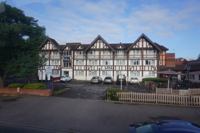
Hobs Moat is a residential area situated in Solihull, Warwickshire, England. It is located approximately 10 miles southeast of Birmingham city center. The area is mainly known for its housing estates, which consist of predominantly modern suburban houses and apartments.
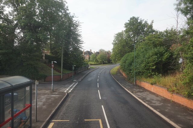
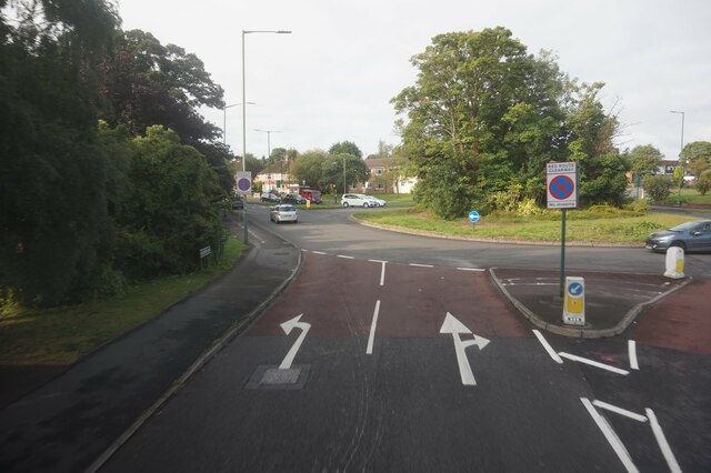
Hobs Moat benefits from its proximity to excellent transportation links, including the nearby Birmingham International Airport and the M42 motorway, which connects to major cities such as Birmingham, Coventry, and London. The area is well-served by public transportation, with several bus routes connecting it to neighboring towns and cities.
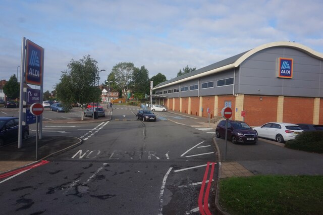
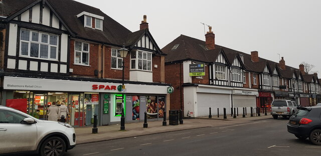
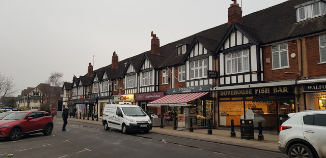
The local amenities in Hobs Moat are abundant, with a variety of shops, supermarkets, and restaurants available to residents. The area also boasts several schools, making it an attractive location for families with children. For those seeking outdoor activities, there are several parks and green spaces nearby, providing opportunities for leisurely walks and recreational activities.
Hobs Moat is also home to a community center, which hosts various events and activities throughout the year, fostering a sense of community engagement. Additionally, there are a number of healthcare facilities and medical practices in the area, ensuring residents have access to quality healthcare services.
Overall, Hobs Moat offers a comfortable suburban lifestyle with its range of amenities, convenient transport links, and welcoming community spirit, making it an appealing place to live in Warwickshire.
If you have any feedback on the listing, please let us know in the comments section below.
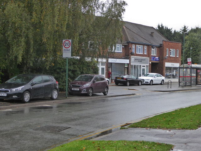
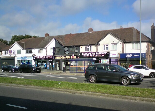
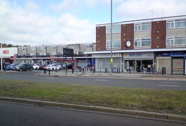
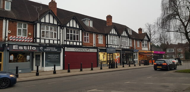
Hobs Moat Images
Images are sourced within 2km of 52.440696/-1.786654 or Grid Reference SP1482. Thanks to Geograph Open Source API. All images are credited.


Hobs Moat is located at Grid Ref: SP1482 (Lat: 52.440696, Lng: -1.786654)
Unitary Authority: Solihull
Police Authority: West Midlands
What 3 Words
///souk.tides.paints. Near Acocks Green, West Midlands
Nearby Locations
Related Wikis

Solihull plant
Solihull plant is a car manufacturing factory in Lode Lane, Lode Heath, Solihull, UK, owned by Jaguar Land Rover. The plant sits on a 300-acre (120 ha...

Lyndon School, Solihull
Lyndon School is a co-educational secondary school in Solihull, West Midlands, England. It is situated near to the Birmingham boundary and draws pupils...
Lyndon, Solihull
Lyndon is a district within the Metropolitan Borough of Solihull in the English county of the West Midlands. The population of the Lyndon Ward at the 2011...
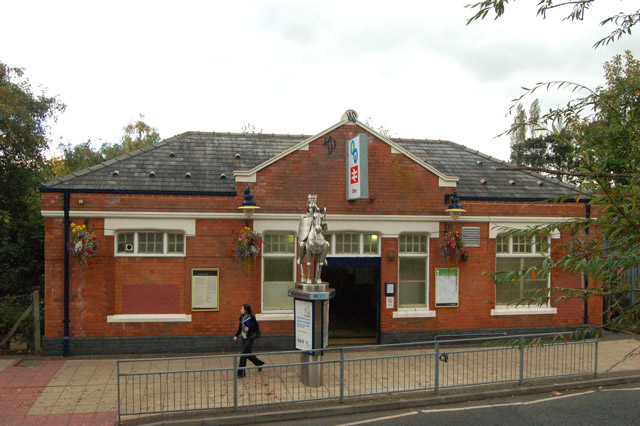
Olton railway station
Olton railway station serves the Olton area of Solihull, in the West Midlands of England. The station is operated by West Midlands Trains. The entrance...

Olton
Olton is an area/suburban village within the Metropolitan Borough of Solihull in the West Midlands, England. In the 13th century, the Lords of the Manor...

Olton Reservoir
Olton Reservoir or Olton Mere (grid reference SP134815) is a canal feeder reservoir in the Olton district of Solihull, West Midlands, England. The reservoir...

St Nicholas' Church, Elmdon
St Nicholas’ Church, Elmdon is a Grade II listed Church of England parish church in Birmingham. == History == The Elmdon estate was purchased in 1760 by...

Elmdon Park
Elmdon Park is a park and local nature reserve in Elmdon, Solihull, West Midlands. It was established in 1944 when the house and grounds of the derelict...
Nearby Amenities
Located within 500m of 52.440696,-1.786654Have you been to Hobs Moat?
Leave your review of Hobs Moat below (or comments, questions and feedback).