Olton
Settlement in Warwickshire
England
Olton
Olton is a small residential area situated in the county of Warwickshire, England. It is located about six miles southeast of the town of Solihull and approximately eight miles from the city of Birmingham. Olton is bordered by the neighborhoods of Acocks Green and Sparkhill to the north, Shirley to the east, and Solihull Lodge to the south.
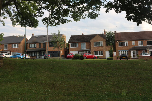
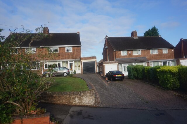
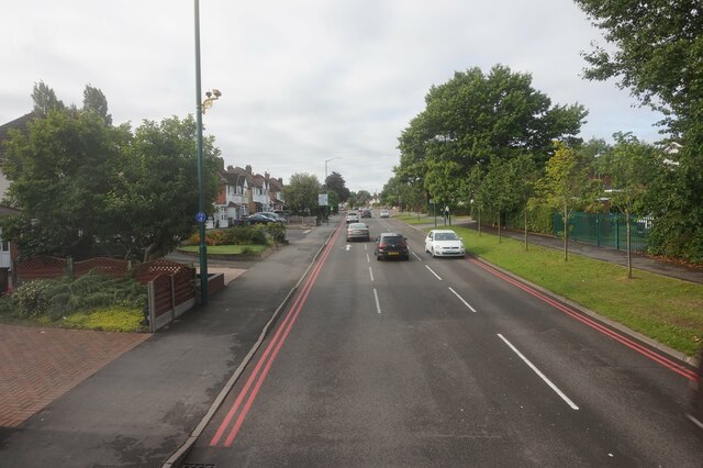
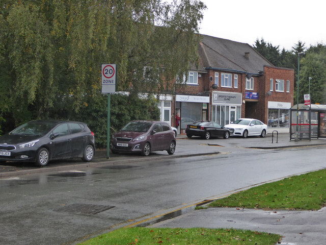
The area is predominantly residential, with a mix of detached and semi-detached houses, as well as some apartment buildings. Olton benefits from its close proximity to Birmingham, making it an attractive place to live for commuters working in the city. The area is well-connected in terms of transportation, with the Olton railway station providing regular train services to Birmingham and other nearby towns.
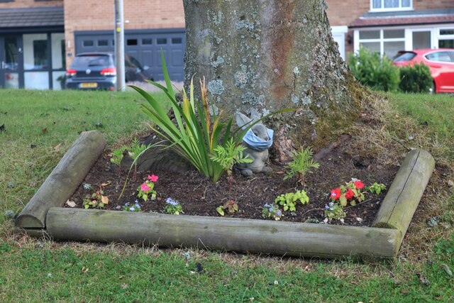
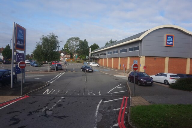
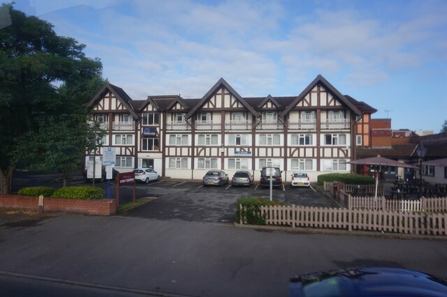
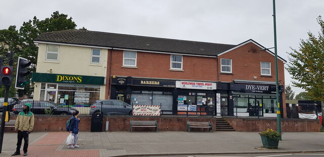
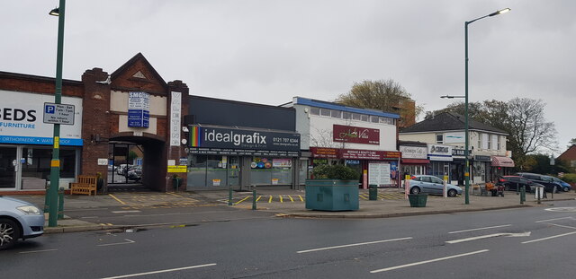
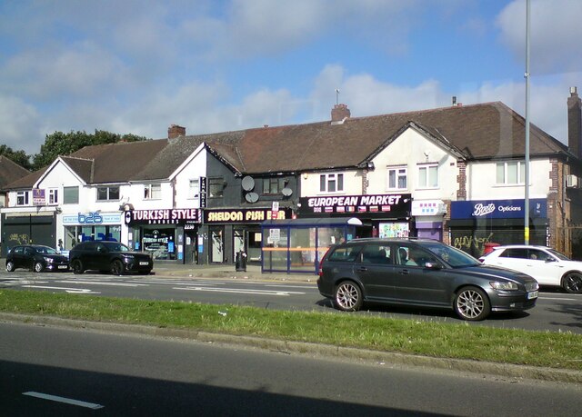
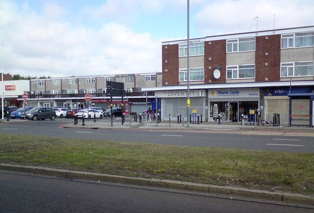
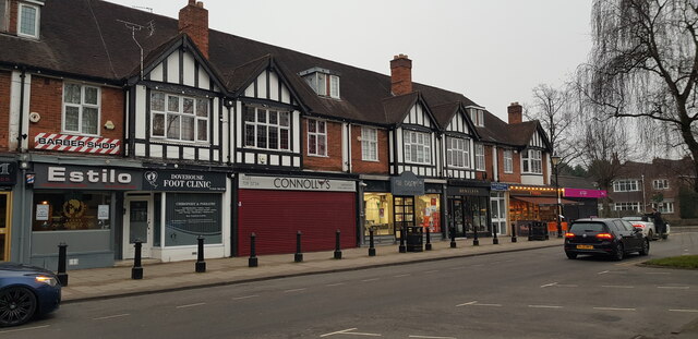
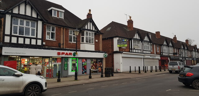
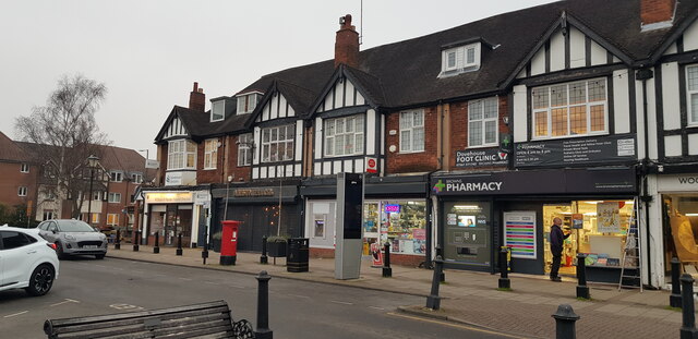
Olton is known for its green spaces and parks, including Olton Jubilee Park, which offers recreational facilities such as tennis courts and a children's playground. There are also several local amenities within the area, including small shops, restaurants, and pubs, providing residents with convenient access to everyday necessities.
The community in Olton is diverse and welcoming, with a mix of families, professionals, and retirees. The area has a strong sense of community spirit, with local events and activities organized throughout the year, such as summer fairs and charity fundraisers.
Overall, Olton offers a peaceful and pleasant suburban environment, with good transport links, green spaces, and a range of amenities, making it an appealing place to live within Warwickshire.
If you have any feedback on the listing, please let us know in the comments section below.
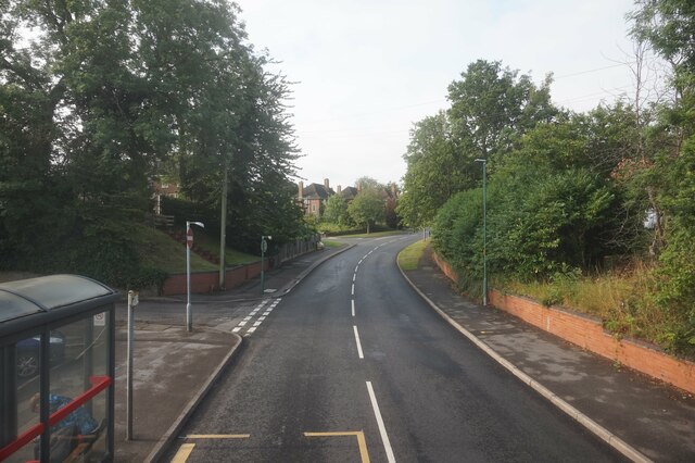
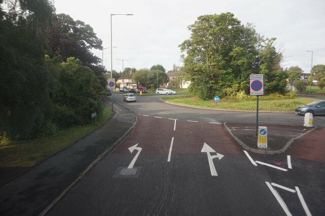
Olton Images
Images are sourced within 2km of 52.437561/-1.793289 or Grid Reference SP1482. Thanks to Geograph Open Source API. All images are credited.


Olton is located at Grid Ref: SP1482 (Lat: 52.437561, Lng: -1.793289)
Unitary Authority: Solihull
Police Authority: West Midlands
What 3 Words
///blend.areas.powder. Near Acocks Green, West Midlands
Nearby Locations
Related Wikis
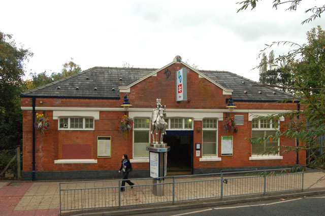
Olton railway station
Olton railway station serves the Olton area of Solihull, in the West Midlands of England. The station is operated by West Midlands Trains. The entrance...

Olton
Olton is an area/suburban village within the Metropolitan Borough of Solihull in the West Midlands, England. In the 13th century, the Lords of the Manor...

Solihull plant
Solihull plant is a car manufacturing factory in Lode Lane, Lode Heath, Solihull, UK, owned by Jaguar Land Rover. The plant sits on a 300-acre (120 ha...

Olton Reservoir
Olton Reservoir or Olton Mere (grid reference SP134815) is a canal feeder reservoir in the Olton district of Solihull, West Midlands, England. The reservoir...
Nearby Amenities
Located within 500m of 52.437561,-1.793289Have you been to Olton?
Leave your review of Olton below (or comments, questions and feedback).